The Modern Antiquarian
Log in
|
Register
Home
Latest Posts
Forums
Maps
Help
Browse Sites
News
Blog
Contributors
The Books
Select
-
Belgium
Denmark
Eire
France
Germany
Greece
Italy
The Netherlands
Norway
Portugal
Republic of Malta
Spain
Sweden
Switzerland
United Kingdom
Northern Ireland
County Armagh
Emain Macha
Haughey's Fort
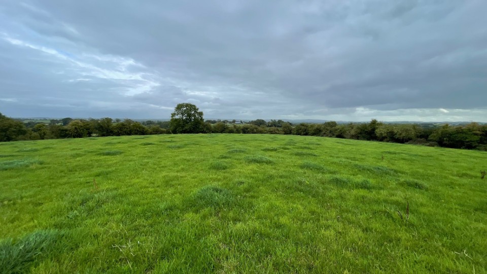
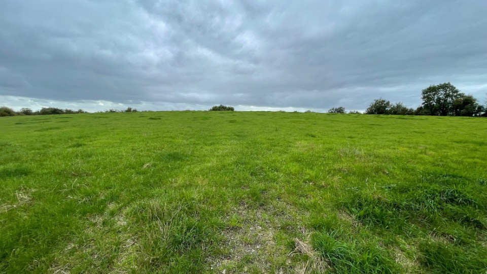
Enclosure
Haughey's Fort (Enclosure) on The Modern Antiquarian, the UK & Ireland's most popular megalithic community website. 2 images, plus information on many more ancient sites nearby and across the UK & Ireland.
Image © ryaner
OS Ref (GB):
Latitude:
54° 20' 58.39" N
Longitude:
6° 42' 58.47" W
Added by
ryaner
Images (2)
0 discussions
Start a topic
Show |
Hide
Web searches for Haughey's Fort
Flickr
Google
Google Images
Megalithomania
Bing
Stone Pages
Wikipedia
Show map
(inline Google Map)
- Sites within 20 km -
-
The King's Stables (0.4km ENE) (3 posts)
Emain Macha (1.23km E) (24 posts)
The Long Stone (4.57km ENE) (4 posts)
Vicars Carn (9.63km ESE) (6 posts)
Aughnagurgan (17km SSE) (4 posts)
Aughnagurgan (17.04km SSE) (9 posts)
Aughnagurgan (17.05km SSE) (0 posts)
Legmare (17.33km S) (0 posts)
Mullyash (19.68km SSE) (9 posts)
- Add -
-
Add news
Add an image
Add fieldnotes
Add folklore
Add miscellaneous
Add a link
-
Add a site
Add a nearby facility
Add an alternative name/spelling
Images
(click to view fullsize)
Add an image
 Image © ryaner