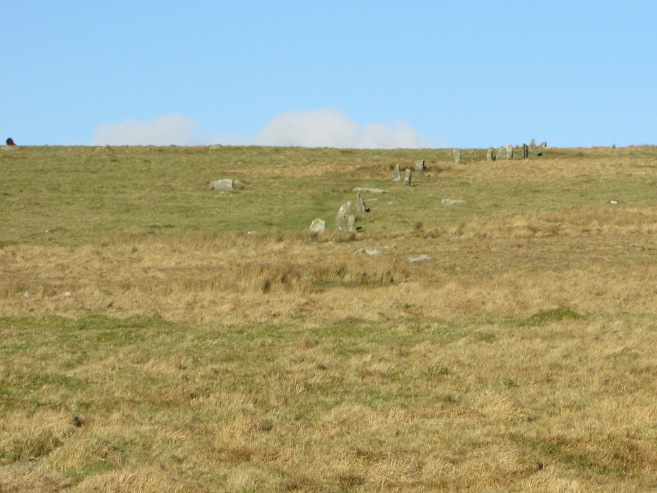
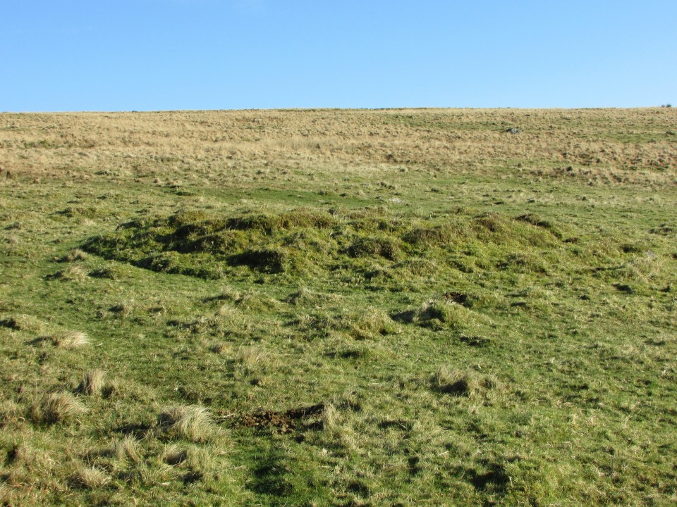
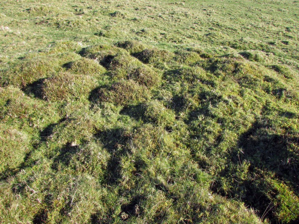
The ruined cairn lies c. 250 yards S of the Southern terminus in Stalldown Stone Row. It has been reduced to a circle of rough uneven grassy lumps, measuring c. 10 yards across by 1 yard high. The dark green of the cairn contrasts with the light brown of the moorland.
Historic England 1012748 states that the centre of the cairn has a central hollow probably related to a past disturbance in search of a cist. It also speculates that the cairn may have been the original terminus of the stone row. The Stalldown area has been used for peat cutting in the past so some of the stones may have been removed or buried. In any case, the close proximity of the cairn to Stalldown Stone Row extends the area of the Stalldown Complex.
Directions: Take the B213 Ivybridge turn off the A38. If you exit from the E, turn R, cross over the A38 and take the first L on the roundabout signposted for Cornwood. If you exit from the W, take the first L on the roundabout signposted for Cornwood. Follow the Cornwood Road for c. I mile until you reach a mini roundabout. Take the L turn onto a narrow lane for Cornwood. Stay on this road for c. 2.5 miles until you reach the Cornwood Inn at a crossroads in Cornwood. Take the R turn for Torr/Harford onto a lane. After 0.25 miles stay straight on the lane. After another c. 0.5 miles stay straight. After another 0.25 miles turn L up an un-signposted lane and bear R after a sharp corner. Follow this narrow leafy lane for c. 0.25 mile then take the L fork. The road will end c. 0.4 mile later just after Watercombe Farm. Park as close as possible and follow the track for c. 0.5 mile past the water treatment buildings reaching the open moorland of Stalldown Moor. When you are 100 yards clear of the buildings strike N uphill towards Stalldown Stone Row relying on GPS or Map Reading to reach the Southern Terminal 0.5 mile N at SX 63218 62074.