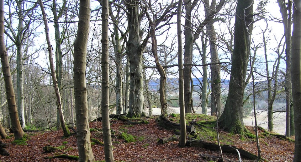
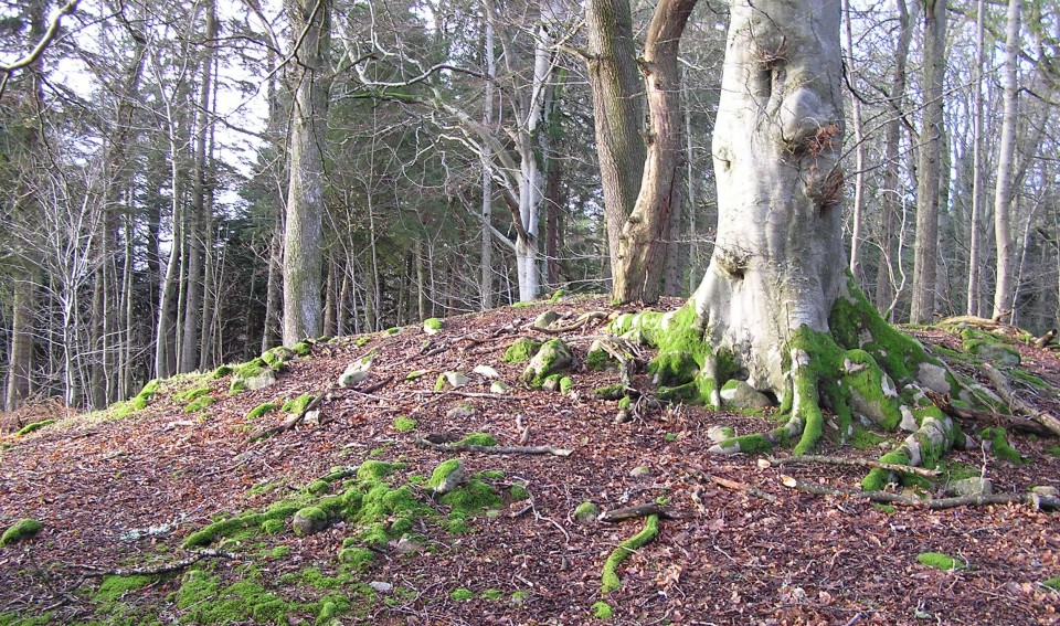
Woodbine Cottage is situated within the Crathes Castle Policies. I parked about 1 mile west of Crathes Village, on the A93, and walked up the tarred road past the cottage until a crossroads. Head into the North East and the woods, the monument is only about a 50m walk.
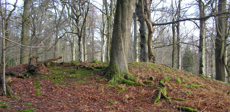
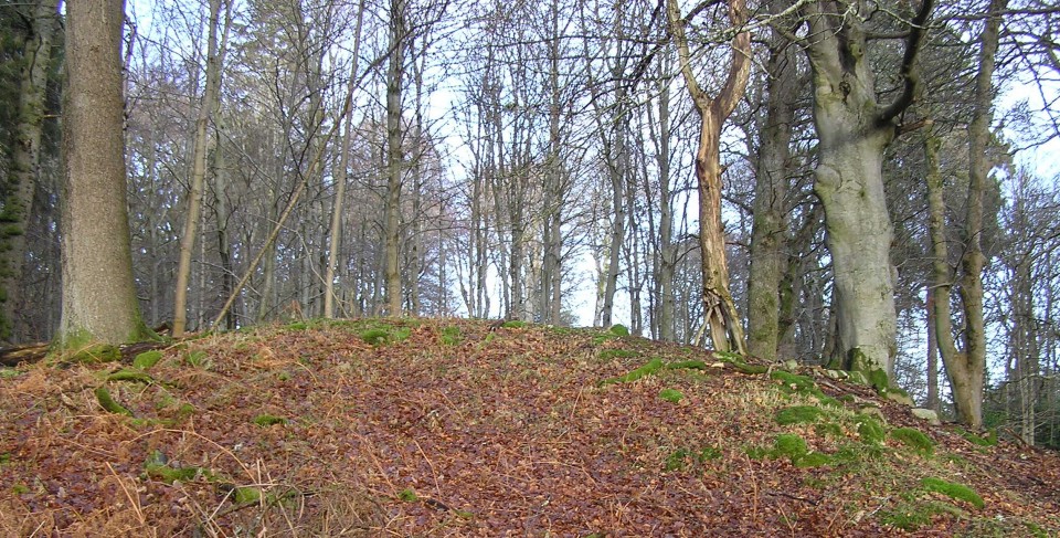
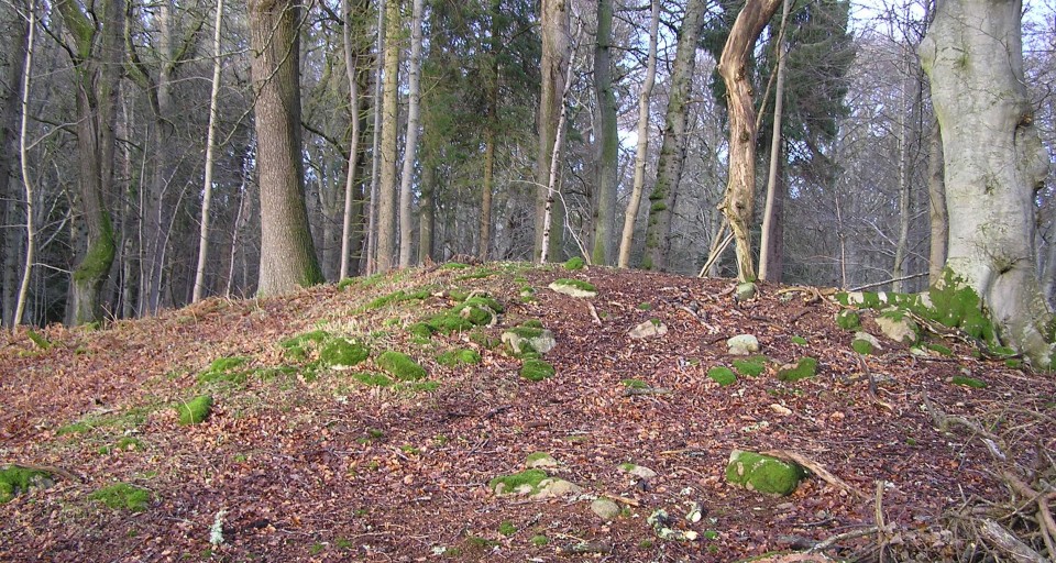
It is oval shaped being 10m by 5m and reaches a height of 3m. An impressive setting with good views south to the hills on the other side of the River Dee. According to Canmore it is orientated north to south.