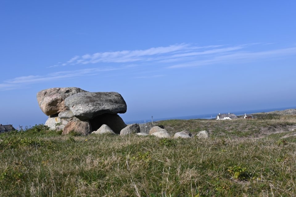
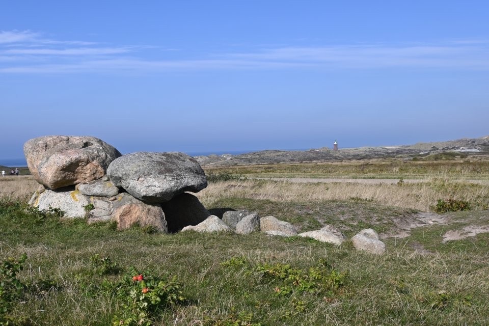
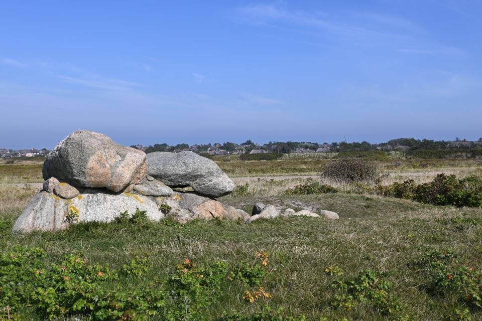
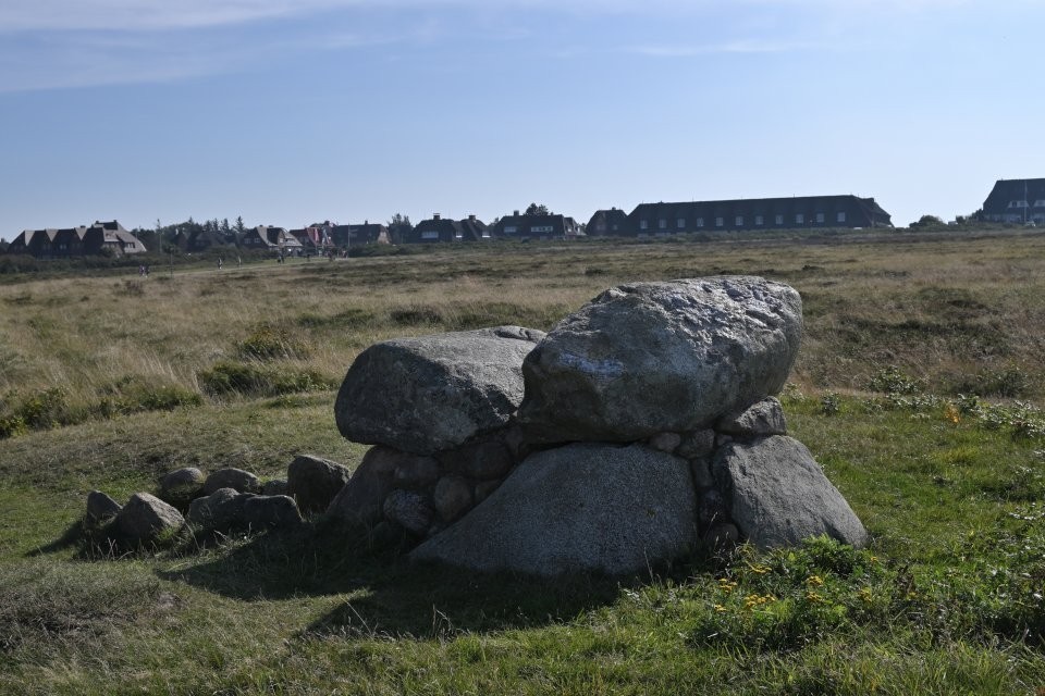
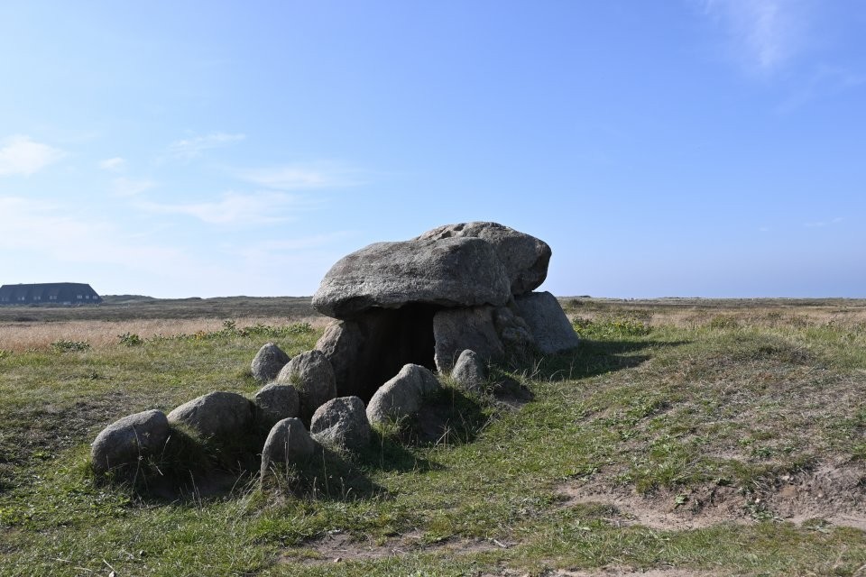
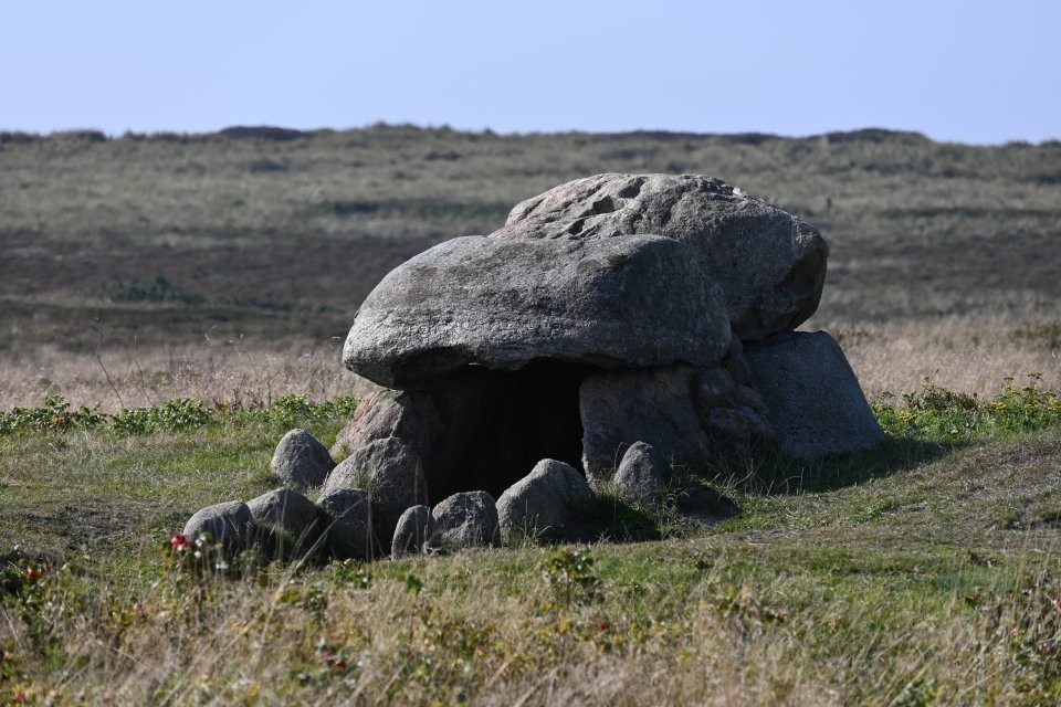
Kampen 3 (aka Steingrab 180 / Stone Grave 180), a so-called extended dolmen, was originally located on the Rotes Kliff (Red Cliff) and was exposed by a storm in the 1950s. When the dolmen threatened to fall onto the beach, it was relocated to the footpath that leads from Kampen to the Rotes Kliff or the Hotel Sturmhaube.
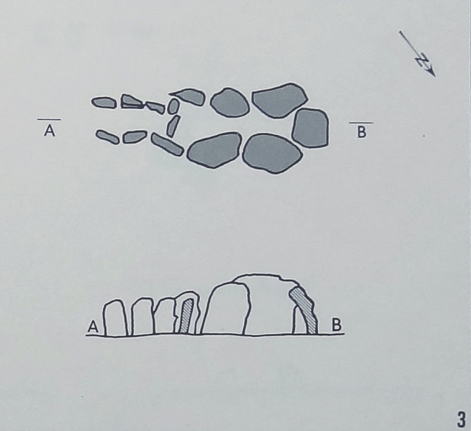
The 3.1 m long chamber has three large supporting stones on each long side, which are strongly inclined inward. The width is 1.10 m at the bottom, but only 0.3–0.5 m at the top. On the narrow side, instead of a supporting stone, a large stone slab is leaning against the chamber at an angle. Above it lay a fragment of a large stone slab that may originally have belonged to the cover.
Half of the access side is closed with an upright stone, and there was a low threshold stone in the remaining entrance opening. A somewhat irregularly built passage made of two or three supporting stones connects to the access opening. It is about 1.4 m long and 0.5 m wide. No capstones could be detected for the passage corridor and the eastern part of the chamber.
The gaps between the supporting stones were very carefully filled with stone slabs, especially at the transition to the passage corridor, and covered with clay. All supporting stones were encased on the outside with fist-sized to double-fist-sized or larger rolling stones, which were embedded in clay, so that the cover packing was very firm.
taken from the on-site hünen.kulTOUR information board:
Stone Grave 180 & Wachtmannshoog
The Neolithic "Stone Grave 180" was originally located on the Red Cliff west of the former Curehouse (German Kurhaus - picture below). It was blown free by storms in 1956/57. There was a stone chamber in the flat burial mound. Bones were found in the chamber. The remains of Bronze Age urn burials lay in the hill. When the grave threatened to fall onto the beach, it was moved to its current location.
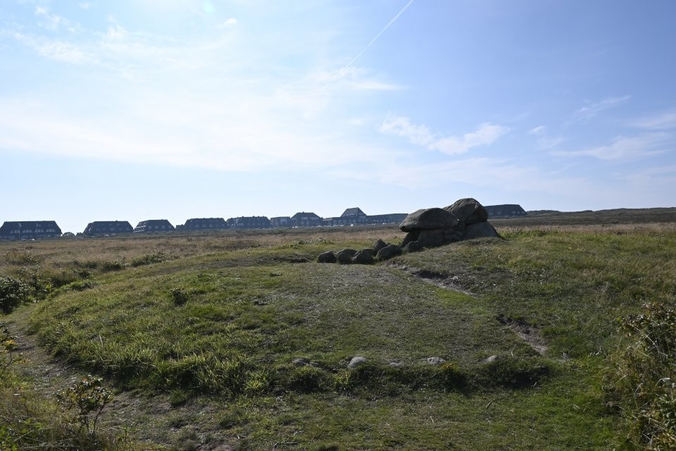
In the middle of the heather is the probably Bronze Age Wachtsmannshoog. The formerly completely excavated burial mound was restored in 1952 by the youth development work.


 Maps / Plans / Diagrams: