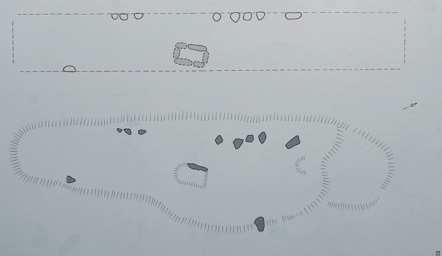
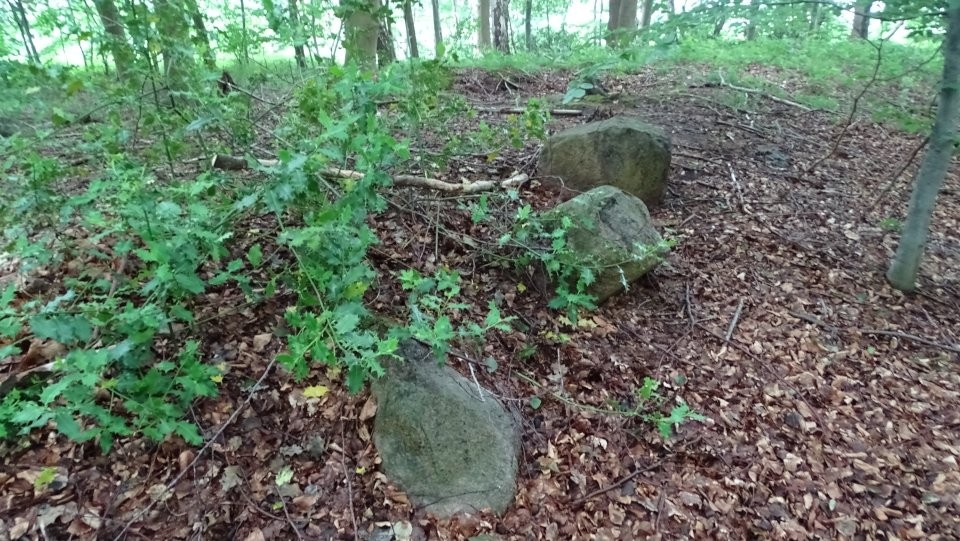
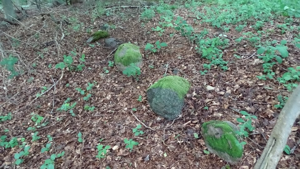
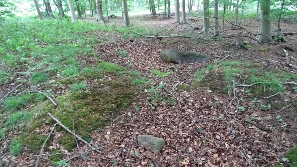
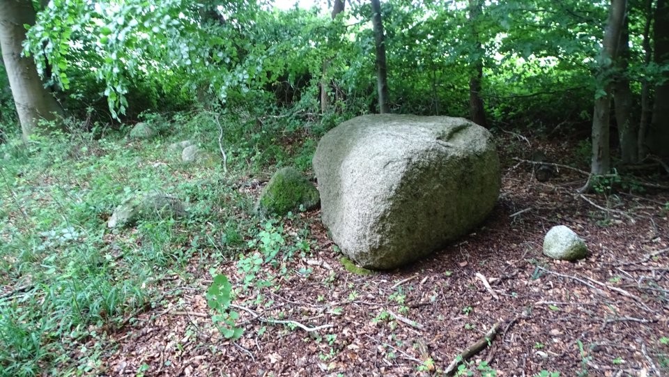
Siegum is located 150 m west of the settlement Siegumlund near Siegum. It is a heavily destroyed, east-west oriented long barrow or Hunebed. Most of the enclosure stones are missing, only two on the east side and some on the west side have been preserved. The long barrow was around 32 m long and 5 m wide. The burial chamber formed a dolmen standing in the longitudinal direction. Of this, only a damaged stone is preserved today. The stone that still exists can be identified as the northern supporting stone of the western longitudinal wall. The length of the chamber was approximately 2 m and its width was 1.50 m.
To get to the tomb, drive from Siegum to Siegumlund. Shortly after a forest begins on the left, the road turns right at a right angle. Here you park and walk a few meters back to the point where a path leads into the forest in a northeasterly direction. Walk around 60 m along this track, then the tomb lies only 20 m to the left of the track.
P.S.: The image stabilizer on my camera didn't work properly on this tour, so some of my images are unfortunately out of focus. Sorry for that.

 Maps / Plans / Diagrams: