The Modern Antiquarian. Stone Circles, Ancient Sites, Neolithic Monuments, Ancient Monuments, Prehistoric Sites, Megalithic MysteriesThe Modern Antiquarian


White Cairn, Honeyhole

Cairn(s)

<b>White Cairn, Honeyhole</b>Posted by markj99Image © Mark Johnstone
Nearest Town:Sanquhar (12km NNW)
OS Ref (GB):   NX82389757 / Sheet: 78
Latitude:55° 15' 29.34" N
Longitude:   3° 51' 3.27" W

Added by markj99


Discussion Topics0 discussions
Start a topic


Show map   (inline Google Map)

Images (click to view fullsize)

Add an image Add an image
<b>White Cairn, Honeyhole</b>Posted by markj99 <b>White Cairn, Honeyhole</b>Posted by markj99 <b>White Cairn, Honeyhole</b>Posted by markj99 <b>White Cairn, Honeyhole</b>Posted by markj99 <b>White Cairn, Honeyhole</b>Posted by markj99 <b>White Cairn, Honeyhole</b>Posted by markj99

Fieldnotes

Add fieldnotes Add fieldnotes
Visited 06.07.19

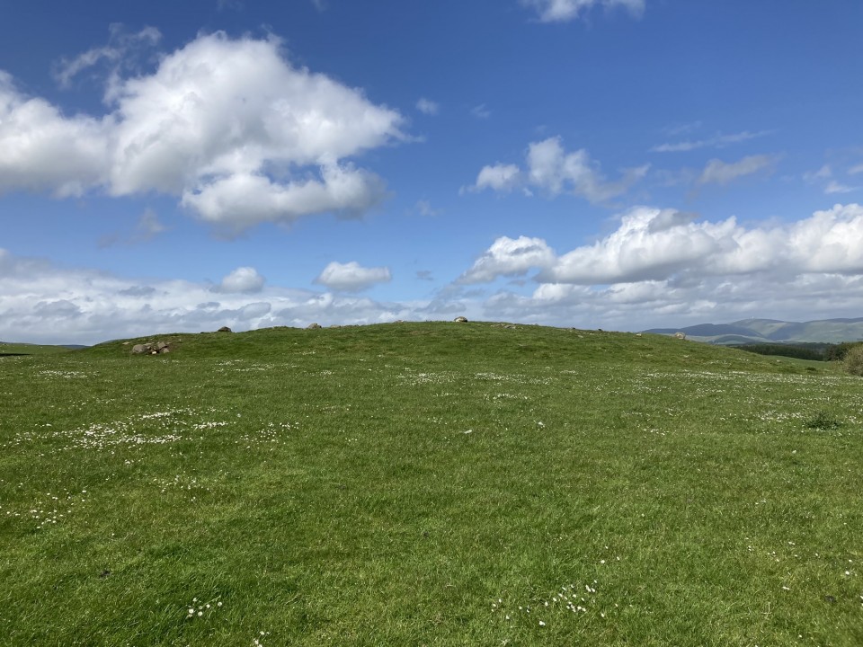
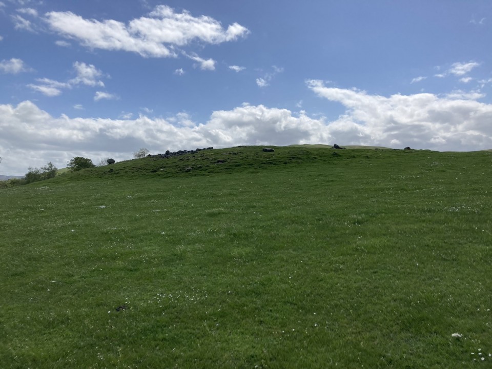
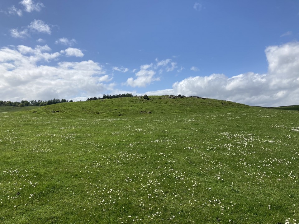
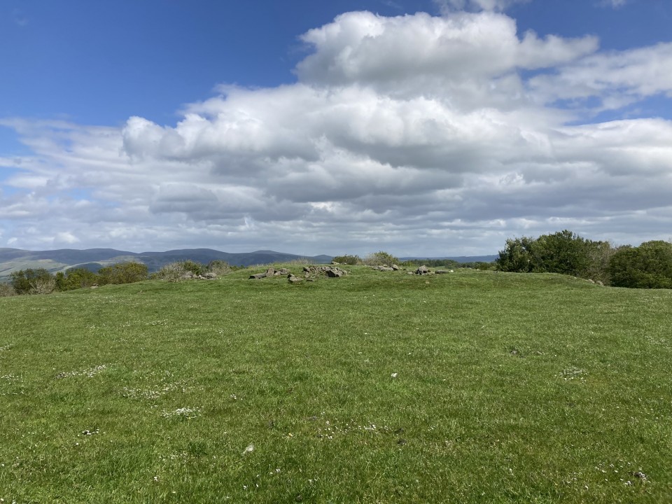
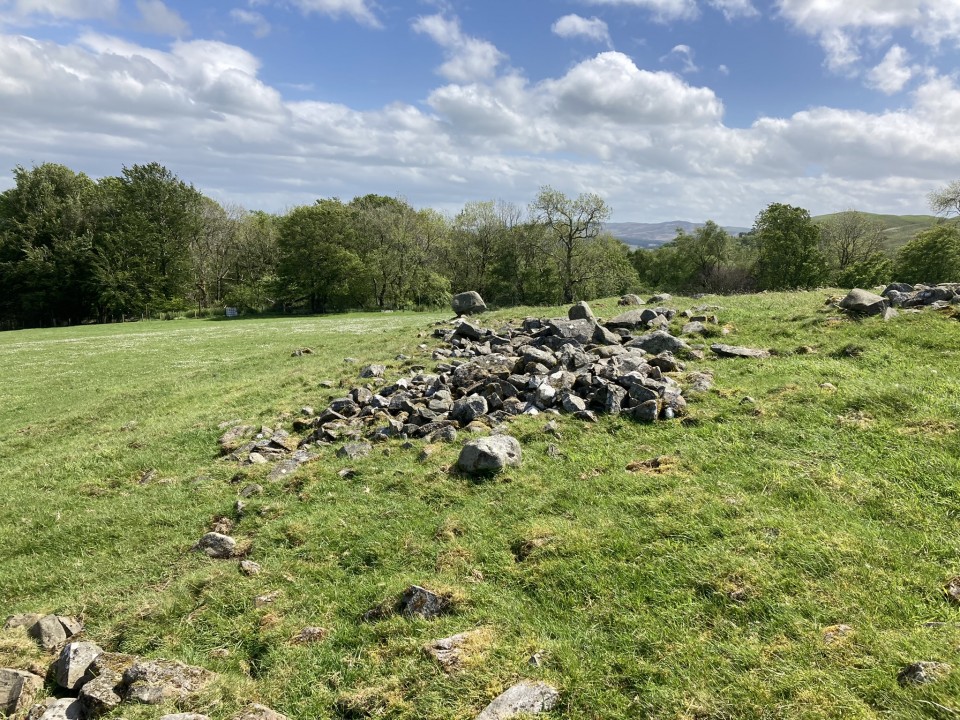
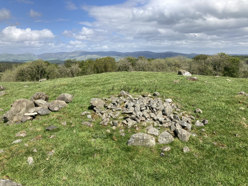
White Cairn, Honeyhole is a grassy cairn, 3.5 miles WNW of Thornhill. It lies in an elevated field above Honeyhole farm.
Canmore ID 65238 (go to Links) states it "survives as a partly turf-covered stony mound 32.5m E-W by 29.5m and up to 1.7m high with no significant features."
Nothing has changed since the 1977 survey. The flat field contrasts with the cairn's modest elevation. Some scattered small stones are visible amongst a grassy thatch.
Directions: take the Sanquhar road off the A702 in Penpont. After two miles bear L for Scar Water. After 0.5 mile you will reach Honeyhole farm. Continue for c. 300 yards to a gateway on L with space to park. Head uphill SW, towards the corner of the wood. After 300 yards climbing steeply cross into the adjacent field. Walk SW for another 200 yards to reach White Cairn, Honeyhole.
Posted by markj99
4th April 2020ce
Edited 25th July 2020ce

Links

Add a link Add a link

Canmore ID 65238


White Cairn, Honeyhole
Posted by markj99
25th July 2020ce