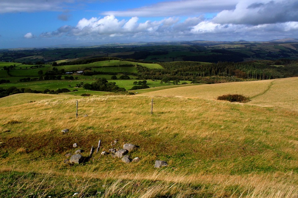
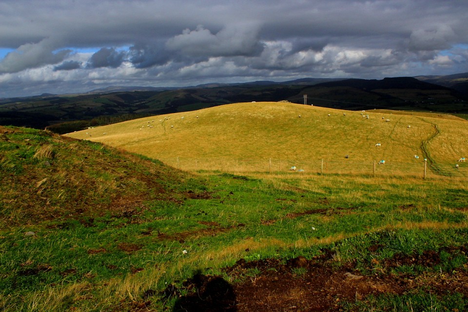
In my opinion, this superbly located, powerful enclosure rates alongside the finest of Mid Walian hill forts. I passed by a few years ago but was - much to my subsequent chagrin - put off a visit by parking issues and the apparent unwelcoming local vibe. Well, not this time, my antiquarian friends.
According to Coflein the hill fort:
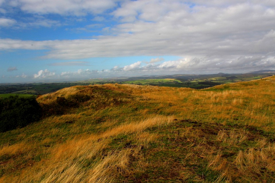
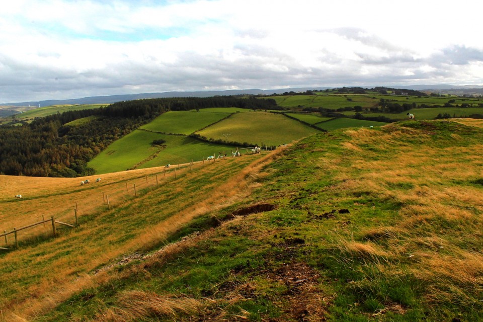
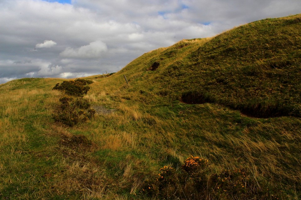
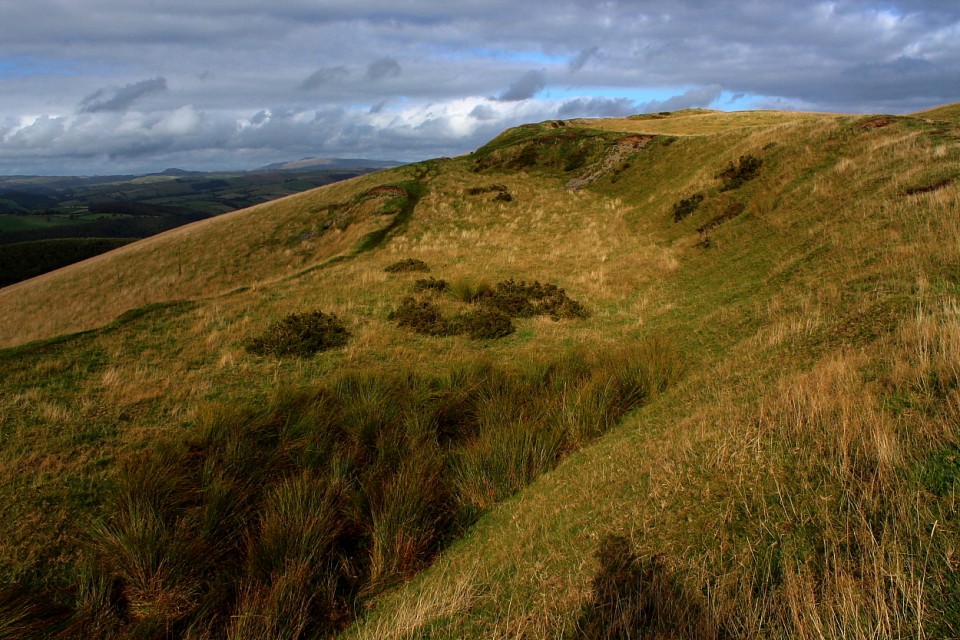
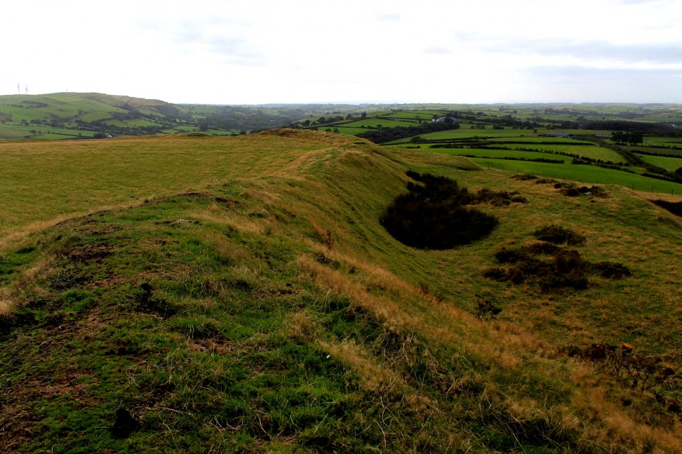
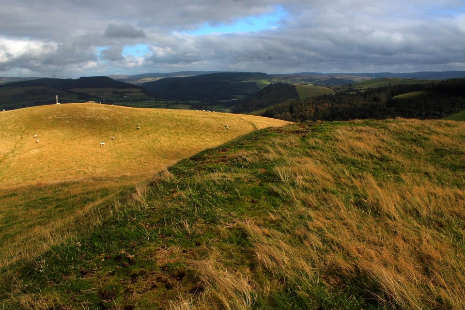
"...measures approximately 265m north-south by 120m east-west overall. It comprises a main inner enclosure formed of a strong rampart, ostensibly built of shale rubble and clay but with traces of stone revetment exposed in erosion features, together with traces of a stone capping on the summit of the rampart in the south-east part of the fort....Along the west side of the fort the rampart is far smaller in scale, being more of a scarp bank at the top of precipitous slopes....The hillfort is bivallate on the north, east and south sides where an outer rampart curves around to defend the more gentle slopes on this side....The hillfort has two entrances. The main gate on the south side is in-turned, and the right-hand (eastern) bastion is larger and more swollen than the western, suggesting it was perhaps a slinging platform or other defensive feature flanking the gate. On the north side is a smaller, less elaborate gateway which gives access down a steep slope to the outer terrace, suggesting it was never a main gate. A major break through the defences on the east side is modern."
[T Driver. 7th Feb 2012]
It is possible to safely leave a car in a 'layby' upon the minor Dofor road just east of the farmhouse of Rhiw-gwraidd. A little further east a new gate upon the left allows access to a public footpath (unsignposted) climbing the very steep flank of the hillside to the north. The enclosure will be seen above and to the right and is accessed via the high fence line. Now, sure enough, as I took in the sweeping panoramas towards Pumlumon et al I was approached by the farmer in his 4x4. It transpired that he was baffled - if not annoyed - by my presence (hell, why would anyone be interested in a mere 'sheep pen'?) but acquiesced as I determined he is not the landowner, but tenant. Hey, there's room for all right-thinking people to co-exist peacefully, methinks. Saves so much time and energy, don't you think?


 Posted by GLADMAN