The Modern Antiquarian. Stone Circles, Ancient Sites, Neolithic Monuments, Ancient Monuments, Prehistoric Sites, Megalithic MysteriesThe Modern Antiquarian


Upper Latheron

Broch

<b>Upper Latheron</b>Posted by LesHamiltonImage © Les Hamilton
Nearest Town:Wick (26km NNE)
OS Ref (GB):   ND1815331836 / Sheet: 11
Latitude:58° 16' 4.08" N
Longitude:   3° 23' 43.08" W

Added by LesHamilton


Discussion Topics0 discussions
Start a topic


Show map   (inline Google Map)

Images (click to view fullsize)

Add an image Add an image
<b>Upper Latheron</b>Posted by LesHamilton <b>Upper Latheron</b>Posted by LesHamilton <b>Upper Latheron</b>Posted by LesHamilton <b>Upper Latheron</b>Posted by LesHamilton <b>Upper Latheron</b>Posted by LesHamilton

Fieldnotes

Add fieldnotes Add fieldnotes
Visited: June 17, 2019

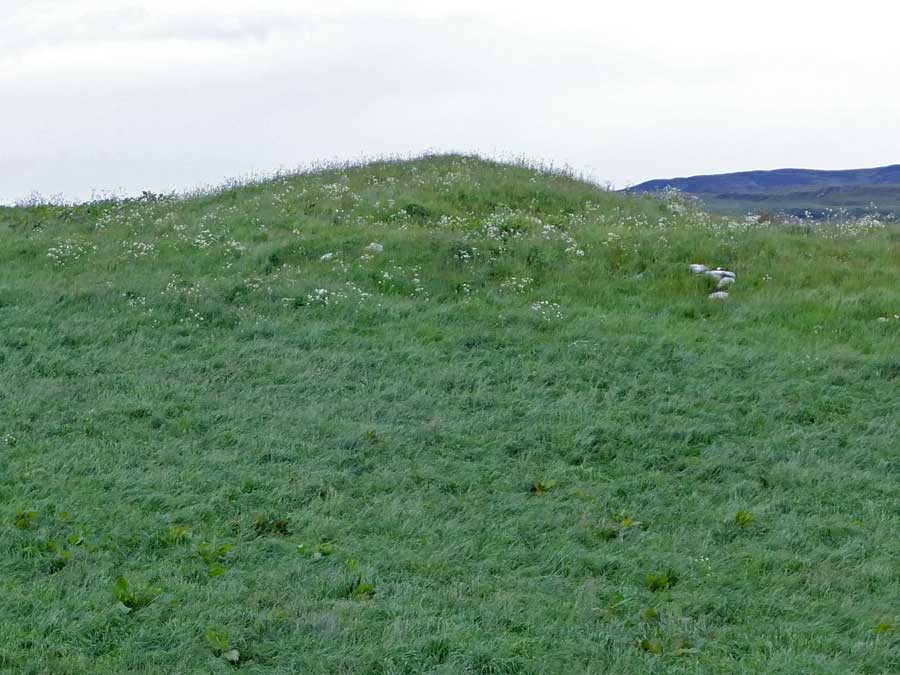
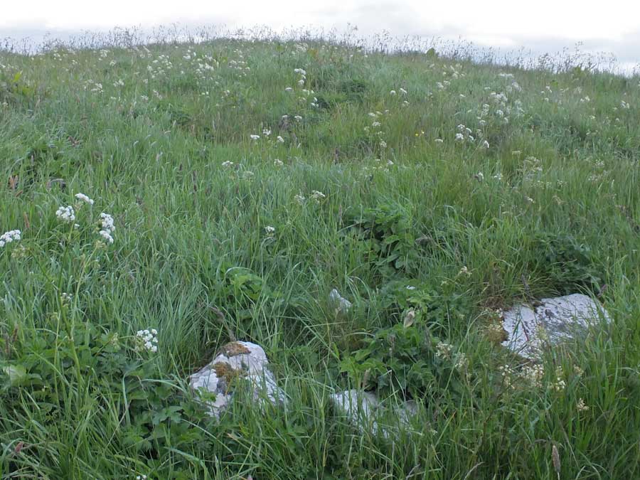
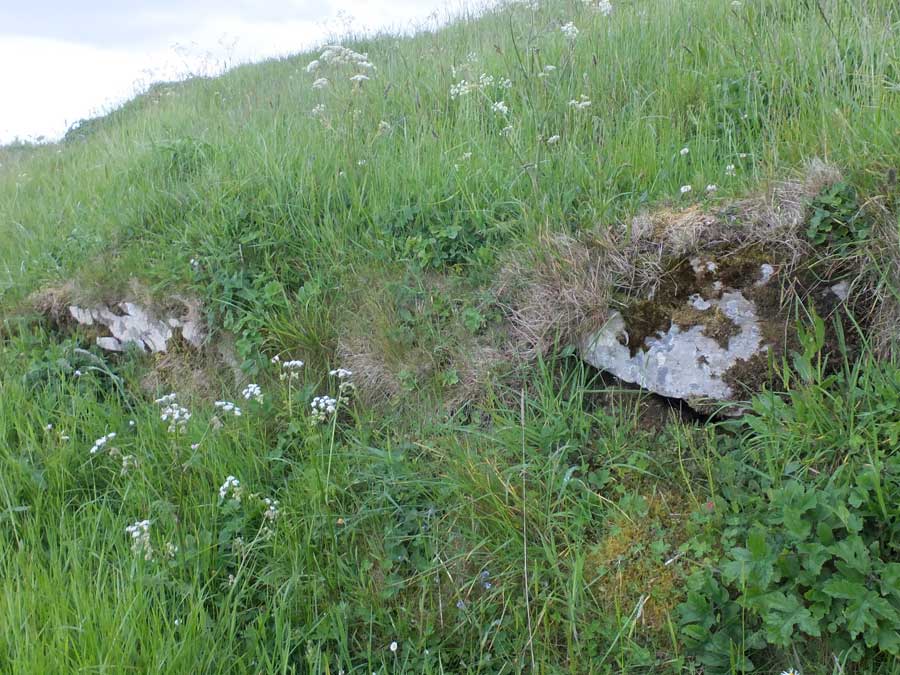
The first impression of Upper Latheron broch is of a ratherless featueless gassy mound. But look more closely and there is structure to be seen.

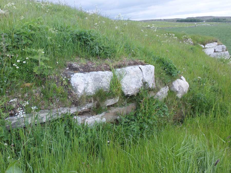
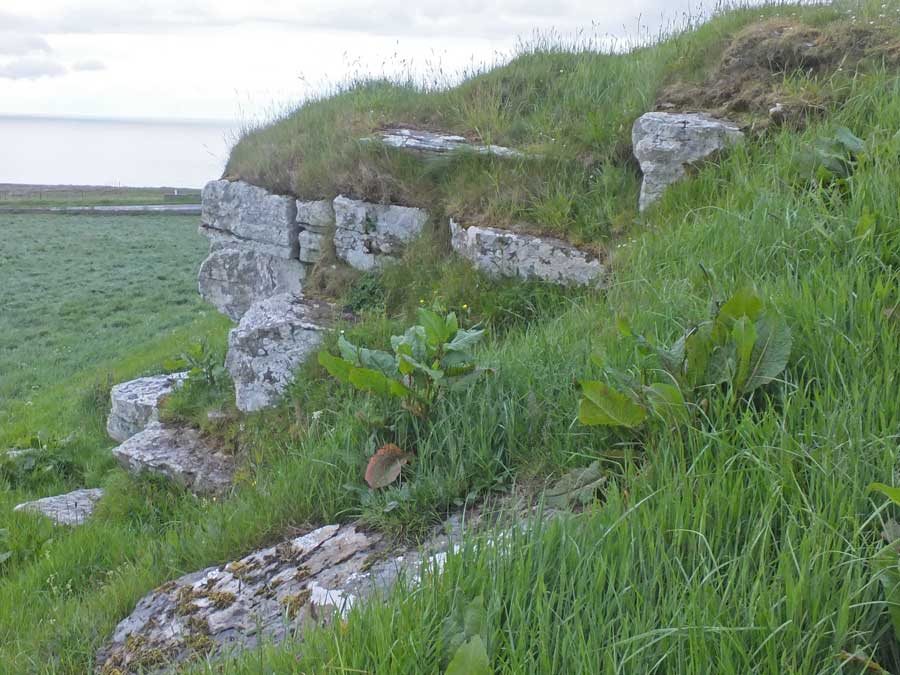
The broch sits atop a rock which is visible as an outcrop on the northeast of the site. On top of this, a neat course of large walling blocks heads west to a dip that presumably signals the location of the entrance. On the other side of the outcrop is another exposure of outer walling courses: Canmore says four courses deep though only two were visible due to the rank vegetation.

The broch stands in a field at Upper Latheron farm, just back from the A9, two miles north of Dunbeath. There is space to park at the junction with the farm access road (no signpost) from where the broch is but a short walk away.
LesHamilton Posted by LesHamilton
15th July 2019ce
Edited 20th July 2020ce