The Modern Antiquarian
Log in
|
Register
Home
Latest Posts
Forums
Maps
Help
Browse Sites
News
Blog
Contributors
The Books
Select
-
Belgium
Denmark
Eire
France
Germany
Greece
Italy
The Netherlands
Norway
Portugal
Republic of Malta
Spain
Sweden
Switzerland
United Kingdom
County Cork
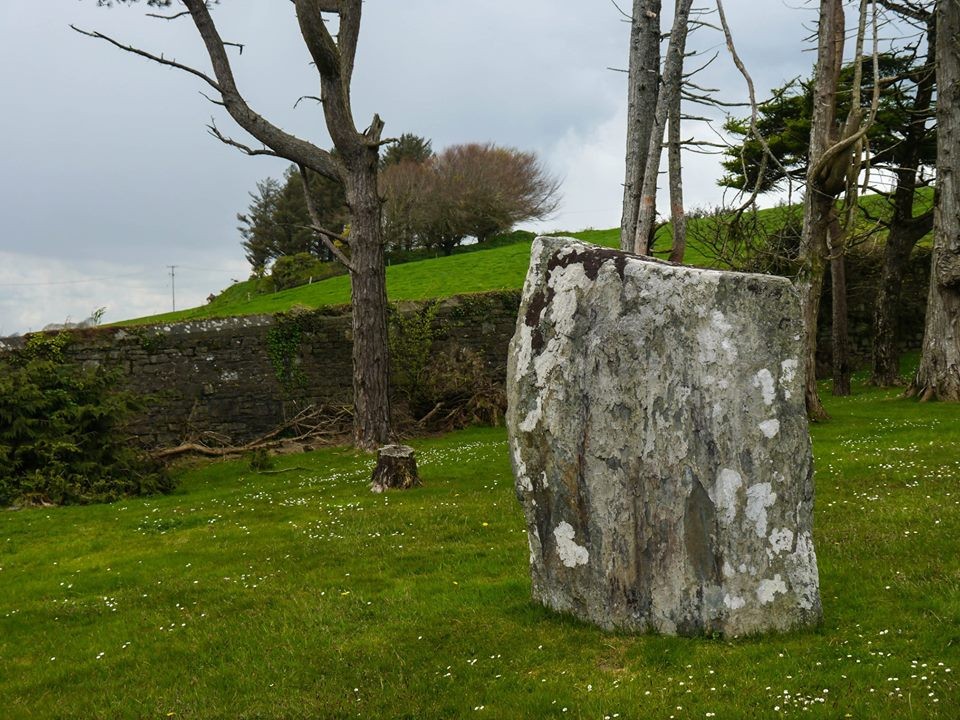
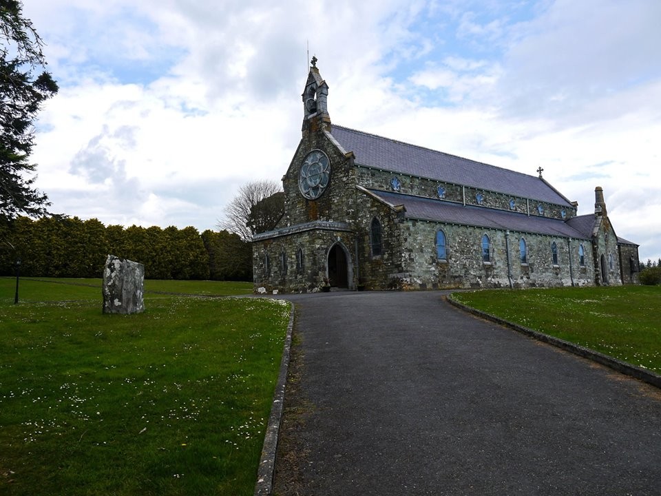
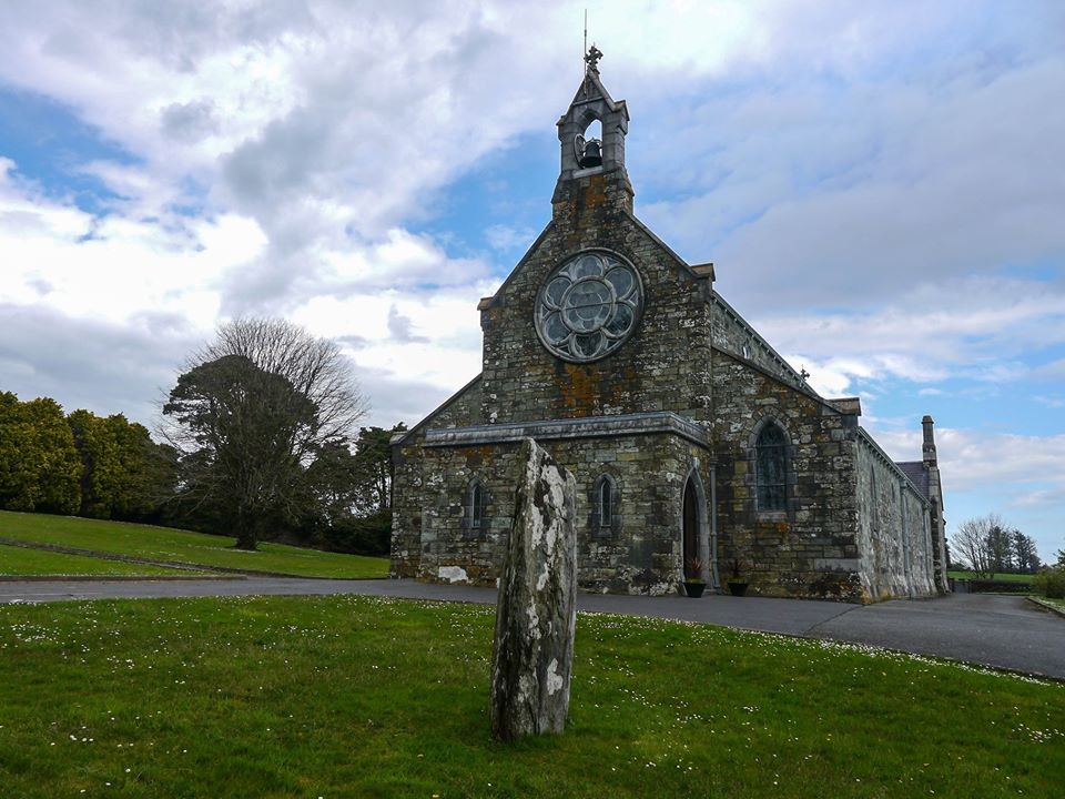
Darrary
Standing Stone / Menhir
Darrary (Standing Stone / Menhir) on The Modern Antiquarian, the UK & Ireland's most popular megalithic community website. 4 images, plus information on many more ancient sites nearby and across the UK & Ireland.
Image © Michael Mitchell
Nearest Town:
Clonakilty (3km WSW)
OS Ref (IE):
W417419 /
Sheets: 86, 89
Latitude:
51° 37' 36.27" N
Longitude:
8° 50' 31.18" W
Added by
Meic
Images (4)
0 discussions
Start a topic
Show |
Hide
Web searches for Darrary
Flickr
Google
Google Images
The Megalithic Portal
Bing
Stone Pages
Wikipedia
Show map
(inline Google Map)
- Sites within 20 km -
-
Lisnagun (0.02km SE) (7 posts)
Templebryan (3.32km W) (23 posts)
Templebryan (3.6km W) (0 posts)
Barryshall (4.67km ENE) (7 posts)
Cashelisky (6.82km W) (9 posts)
Burrane (6.85km NE) (4 posts)
Letter (site E) (7.15km W) (11 posts)
Ballyvackey (7.31km W) (30 posts)
Coorleigh South (7.32km WSW) (9 posts)
Ahaghilla (8.44km W) (13 posts)
Knocks (East) (9.56km WNW) (7 posts)
Knockatlowig (9.86km W) (10 posts)
Ahidelake (10.09km S) (3 posts)
Derryduff (10.62km WSW) (4 posts)
Knocks (11.65km W) (13 posts)
Knocks S (11.7km W) (18 posts)
Coolnaconarty (11.79km W) (9 posts)
Bohonagh (11.99km WSW) (45 posts)
Caherkirky (12.13km W) (11 posts)
Knocks (12.21km W) (2 posts)
Ahaglaslin (12.3km WSW) (3 posts)
Knocks N (12.3km W) (20 posts)
Burgatia (12.74km WSW) (5 posts)
Tinneel (12.8km WSW) (8 posts)
Inchinattin (12.81km W) (2 posts)
Galley Head (13.11km SW) (3 posts)
Sarue (13.18km W) (7 posts)
Freahanes (13.19km WSW) (7 posts)
Rosscarbery (13.46km WSW) (4 posts)
Corravreeda (14.21km NE) (6 posts)
Glanbrack (14.68km W) (15 posts)
Milleennagun (14.9km W) (3 posts)
Knockawaddra E (14.98km W) (15 posts)
Milleennagun (15km W) (12 posts)
Reanascreena (15.17km WSW) (46 posts)
Knockawaddra W (15.17km W) (17 posts)
Maulatanavally (15.48km W) (26 posts)
Curraheen (15.49km WSW) (3 posts)
Maulatanvally (15.8km W) (8 posts)
Carrigagrenane NE (15.83km W) (7 posts)
Parkaghadallaun (15.88km NE) (3 posts)
Lettergorman (North) (15.89km W) (25 posts)
Killaneer (16.16km NNW) (3 posts)
Carrigagrenane SW (16.28km W) (9 posts)
Laravoolta 1 (16.69km NW) (2 posts)
Laravoolta 2 (16.82km NW) (3 posts)
Lettergorman (South) (16.82km WSW) (39 posts)
Kinneigh (17.49km WNW) (5 posts)
Tullig Stone (17.57km WSW) (3 posts)
Drombeg (18.21km WSW) (70 posts)
Kinneigh (18.74km WNW) (4 posts)
Toom (18.76km WNW) (4 posts)
Bengour West (18.77km NNW) (6 posts)
Killacoosane (18.94km WSW) (6 posts)
Nedinagh West (19.03km W) (3 posts)
Ballyhalwick (19.34km W) (3 posts)
Ballyroe (19.38km WSW) (8 posts)
Garrygalss (19.61km W) (0 posts)
Garryglass (19.63km W) (3 posts)
- Add -
-
Add news
Add an image
Add fieldnotes
Add folklore
Add miscellaneous
Add a link
-
Add a site
Add a nearby facility
Add an alternative name/spelling
Images
(click to view fullsize)
Add an image
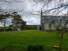 Image © Michael Mitchell