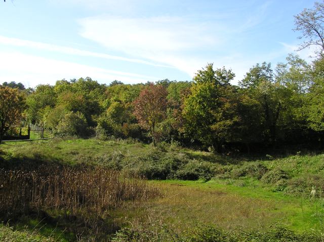
Once again we parked at a crossroads this time in the village of Sales, another beautiful wee place. Across the road there is a memorial to the local Slovene and Italian Partisans so it seemed apt that we were going to visit the hillfort that centuries ago had also defended this area.
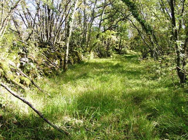
Head north from here until the tarred road runs out at a crossroads. Luckily a local man was working on a wall and gave us precise directions to the fort. Go west and keep going following the path until a filled in (by leaves etc) pond, man made centuries ago to help feed animals. Go round the pond and head south. This will lead directly to a notice board which gives info about the fort.
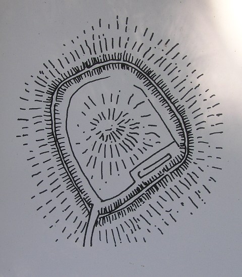
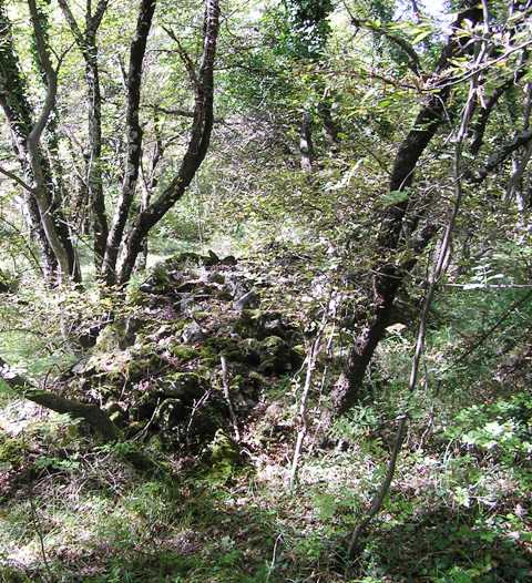
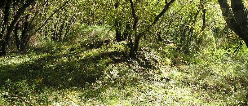
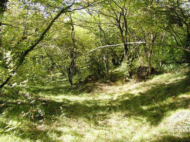
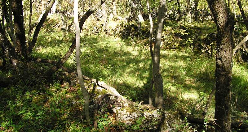
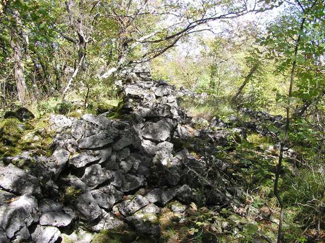
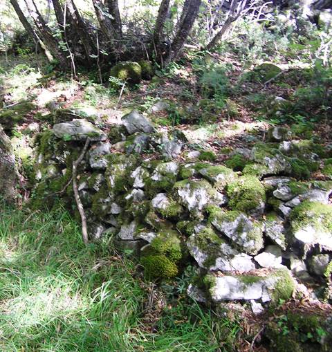
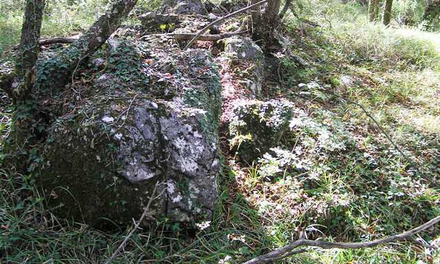
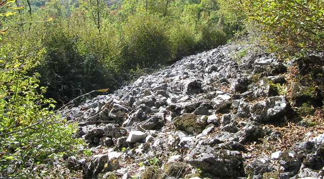
Climb west over a couple of ancient walls until the huge rampart is met. The ditch for this is over 4m wide with the ramparts themselves still standing at 3m tall. There is 500m of this all round the top of the hill. Funnily enough if this fort had no trees it would resemble Down Law in Fife. (a stretch of imagination but reasonable I think.) The main entrance is on the south west and is 3.5m wide. Also in the middle of the fort there appears to be a cairn with perhaps a cist beginning to appear.
I walked all the way round the fort and climbed to the top of the southern wall. Looking down it seemed the whole of the south face was a wall, this must have been an important place and a place of habitation. Land around here seems, nowadays, to quite fertile so maybe back in the late Bronze Age/early Iron Age they decided to stay. One thing they did know about was how to built walls, most of them are still standing.
Then it was back down the hill retracing our steps back to the crossroads. On the other side of the road, a wee pub and fantastic food. I raised a glass to the memorial across the road!


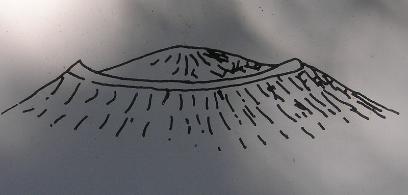
 Artistic / Interpretive: