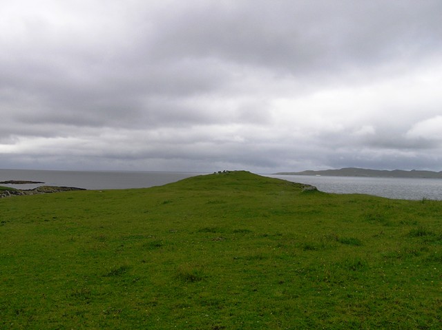
After splashing down the hill I arrived at the road near the Sgarasta standing Stone (plus friends) and proceeded to walk north east along the A859 following the same route I'd taken to the find the track to Dun Borve. Spectacular scenery all round as the sun blinked between the clouds which created different types of atmosphere and colours to hillside, sea and sand.
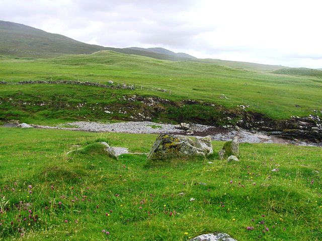
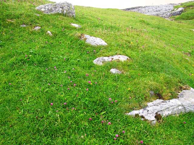
There is a hard way and easy way to reach the cairn. To get there I found the hard way. The chamber cairn can be seen from the road and I immediately jumped the first fence just north of a small burn, the Allt Sta. Sadly, for me, not the best idea I've ever had as this was a boggy mess. However I made it to firmer stuff as I headed west. As the burn headed downhill I climbed a small hill to see that the cairn was only about 100 meters away.
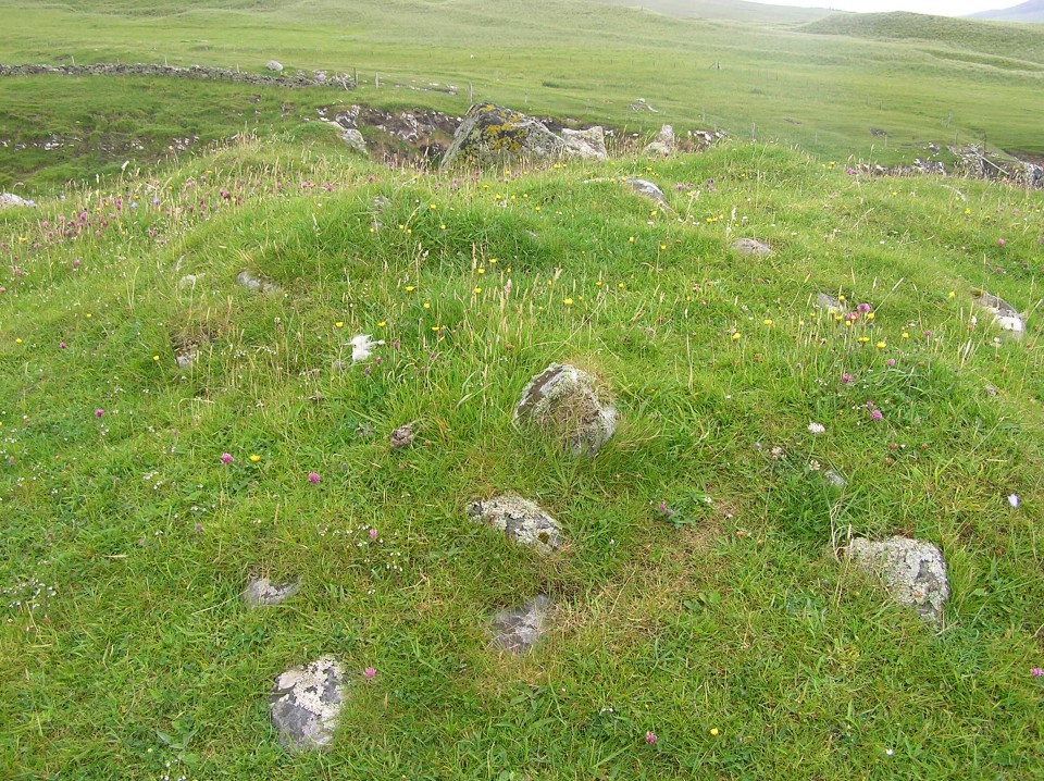
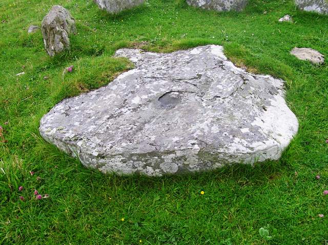
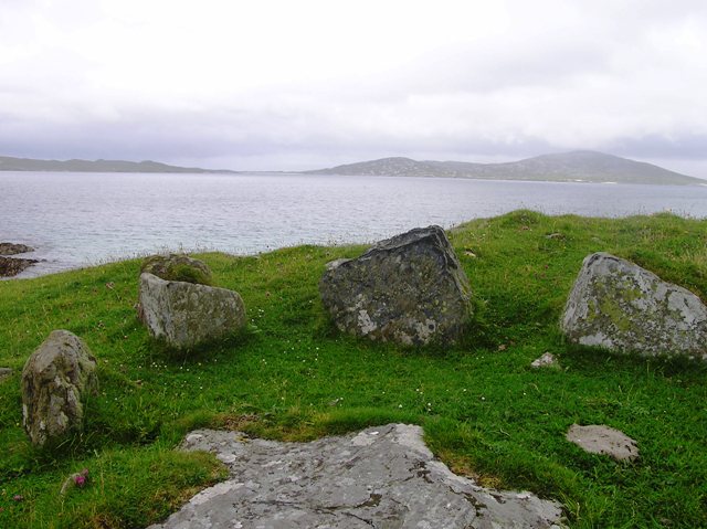
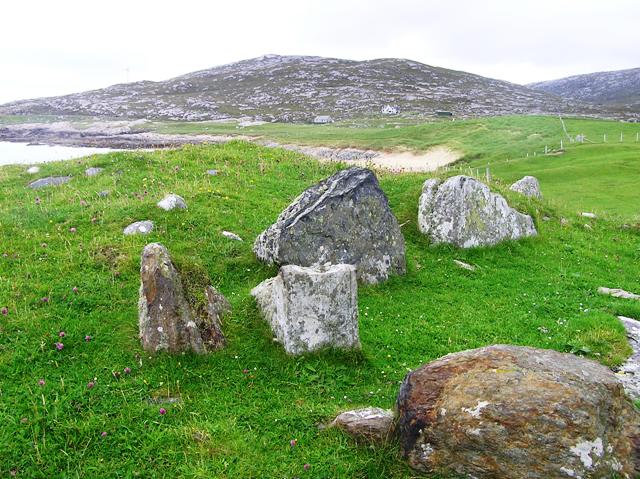
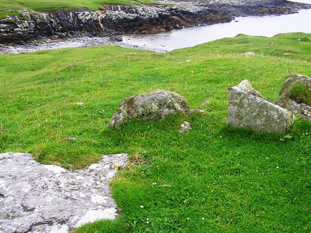
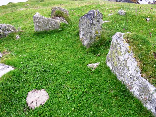
Sadly the cairn has seen much damage but I think its still impressive. The capstone rests in front of some of the stones it probably sat on. It appeared that the standing stones were teeth and the massive capstone a tongue, prehistory sticking its tongue out to modernity. The surrounding cairn is 20m wide and it still has surviving kerbs. It is best preserved on the western side at just over 1m tall. Like a few sites nearby I wonder if erosion will finally win the day.
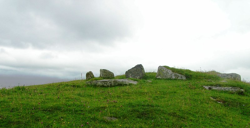
As I picked up my rucksack the sun once again appeared and several sites came into view. Dun Borve to the east is easily spotted with others to the north and south. To the west Taransay and much further to the west St Kilda. When you see all of these sites, its the same everywhere, you realise just how good the prehistoric peoples were at navigation. They simply used the sea and stars/landmarks as a road. That same road will take me back to St Kilda in the reasonably near future.
With that I took the simple way back to the A859 via a track which had appeared from nowhere. Another type of road which led to the ferry and road home.