The Modern Antiquarian
Log in
|
Register
Home
Latest Posts
Forums
Maps
Help
Browse Sites
News
Blog
Contributors
The Books
Select
-
Belgium
Denmark
Eire
France
Germany
Greece
Italy
The Netherlands
Norway
Portugal
Republic of Malta
Spain
Sweden
Switzerland
United Kingdom
Scotland
Highland (Mainland)
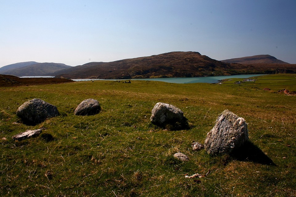
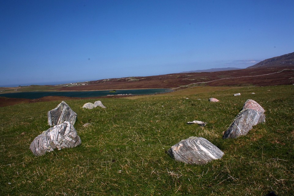
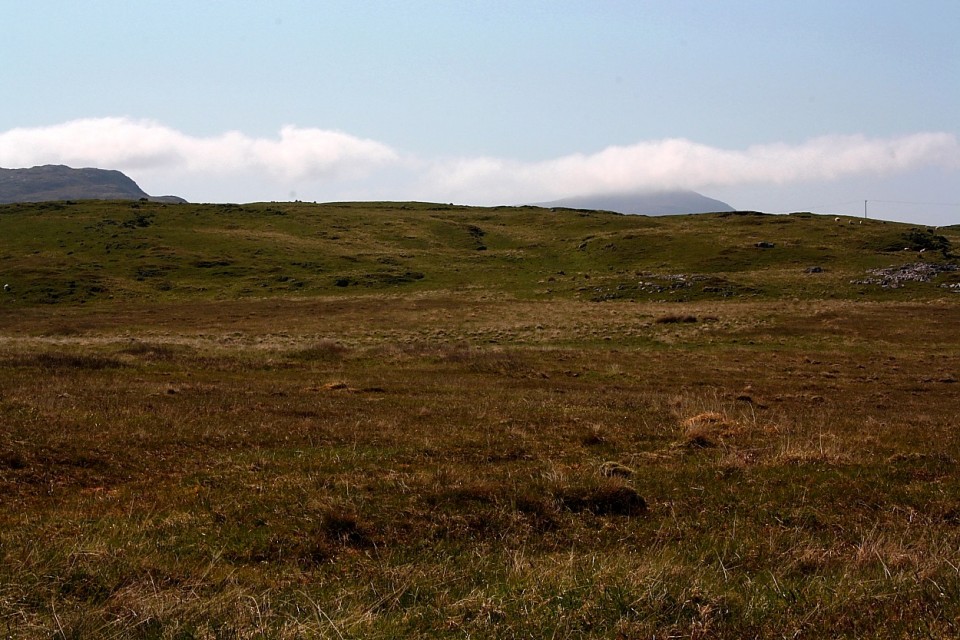
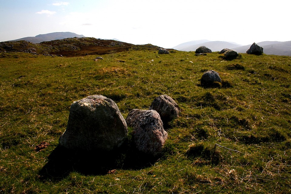
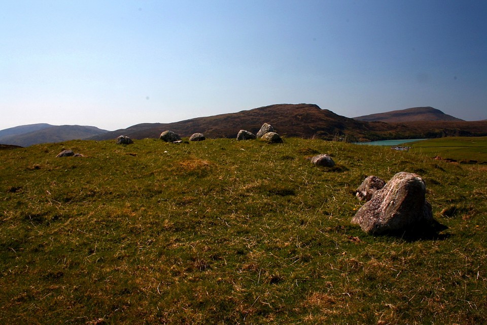
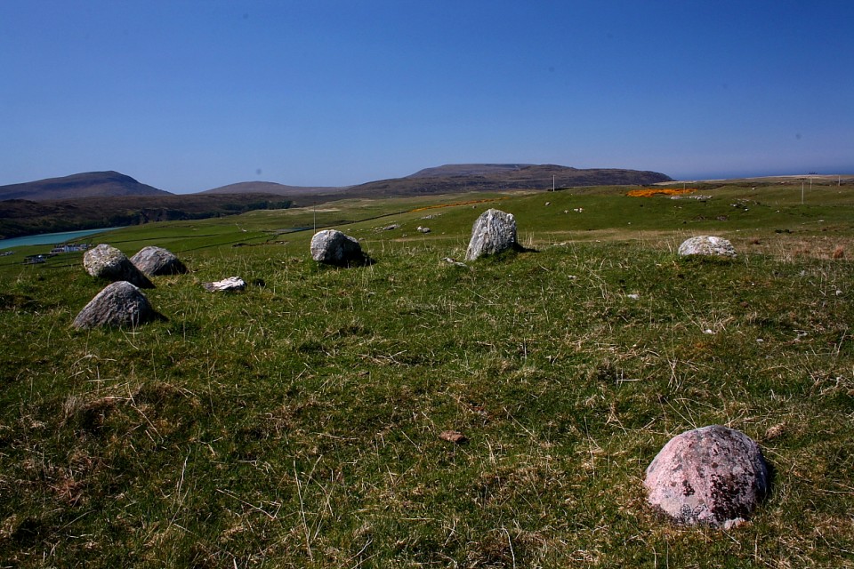
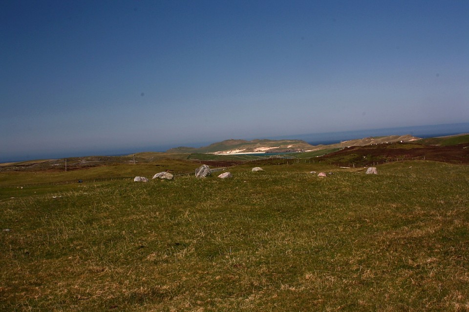
Cnoc na Moine
Kerbed Cairn
Cnoc na Moine (Kerbed Cairn) on The Modern Antiquarian, the UK & Ireland's most popular megalithic community website. 7 images, plus information on many more ancient sites nearby and across the UK & Ireland.
Image © Robert Gladstone
Nearest Town:
Thurso (73km ENE)
OS Ref (GB):
NC39066613 /
Sheet: 9
Latitude:
58° 33' 13.22" N
Longitude:
4° 45' 58.8" W
Added by
GLADMAN
Images (7)
0 discussions
Start a topic
Show |
Hide
Web searches for Cnoc na Moine
Flickr
Google
Google Images
MAGIC
The Megalithic Portal
Bing
Stone Pages
Streetmap.co.uk
Wikipedia
Show map
(inline Google Map)
- Sites within 20 km -
-
Cnoc na Moine (0.09km WSW) (12 posts)
Keoldale (0.31km WNW) (6 posts)
Loch Caladail (0.43km E) (8 posts)
Cnoc-Na-Cnavan (0.8km SW) (9 posts)
Sarsgrum (2.12km SW) (12 posts)
Kyle of Durness (3.47km SSW) (19 posts)
Smoo Cave (3.56km ENE) (27 posts)
Ach A' Chorrain (4.25km SSW) (12 posts)
River Dionard (4.95km SW) (1 post)
Ach A' Chorrain S (5.22km SSW) (6 posts)
Meall Meadhonach, Loch Eriboll (5.29km SE) (6 posts)
Port na Con Souterrain (6.1km ESE) (9 posts)
Allt An Tighe (7.46km SSE) (8 posts)
Allt A' Bhaid Loisgt, Loch Hope (10.6km ESE) (8 posts)
Lochside, Loch Hope (11.75km ESE) (8 posts)
Loch Eriboll (11.87km SSE) (11 posts)
- Add -
-
Add news
Add an image
Add fieldnotes
Add folklore
Add miscellaneous
Add a link
-
Add a site
Add a nearby facility
Add an alternative name/spelling
Images
(click to view fullsize)
Add an image
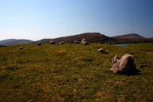 Image © Robert Gladstone