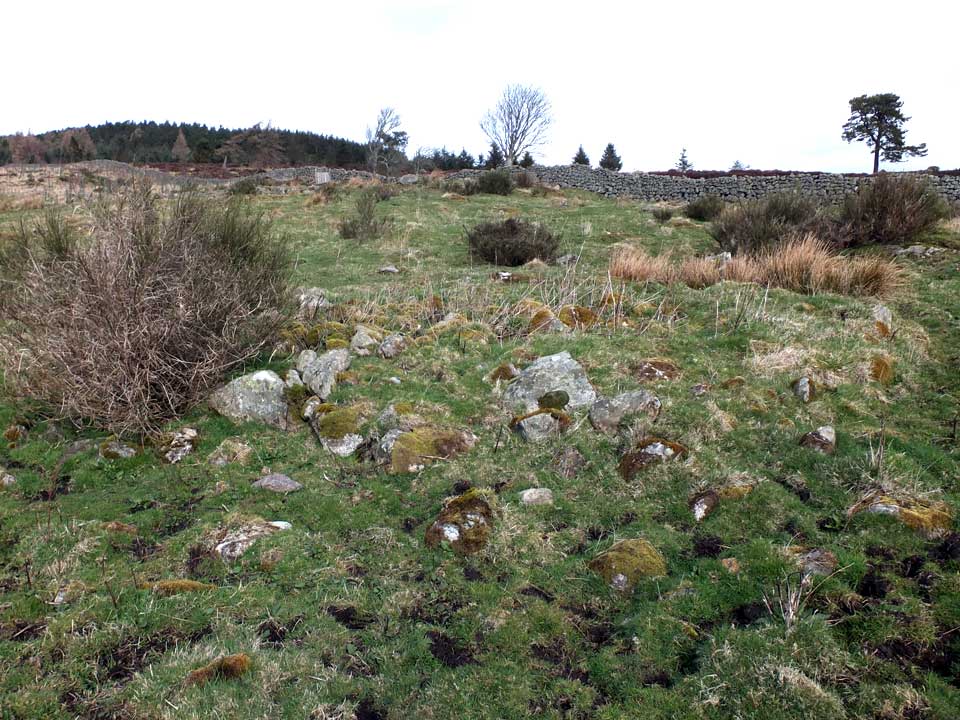
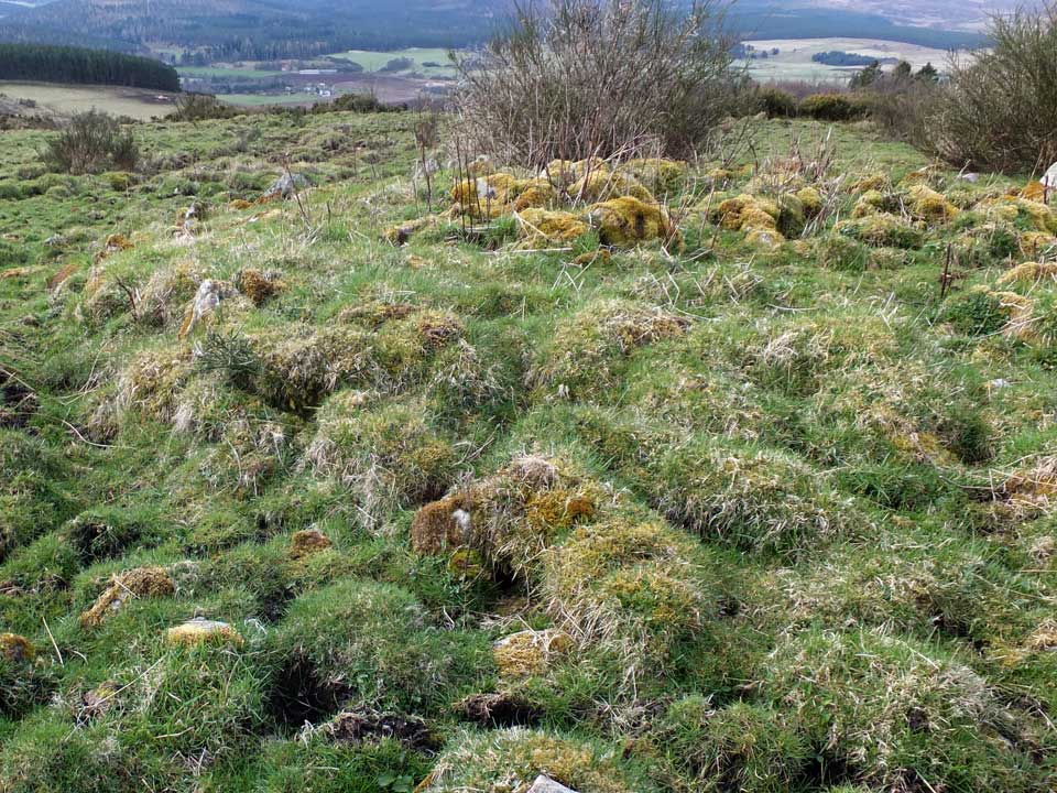
Visiting again in early August, I had a hard time locating the cairn. Rank growth of vegetation had all but obliterated it from view. If this had been my first visit to this site it is doubtful if I would have recognised it.
Credit for this site really belongs to Drew because it was originally his initiative to search for it. Just the day before, he, Ashley, Bess and myself spent an enjoyable time visiting stone circles and cairns in the area. And although we had no trouble locating the giant 3 metre tall Upper Shampher round cairn, we failed to track down this lesser-known kerbed cairn because we lacked an adequately detailed map.
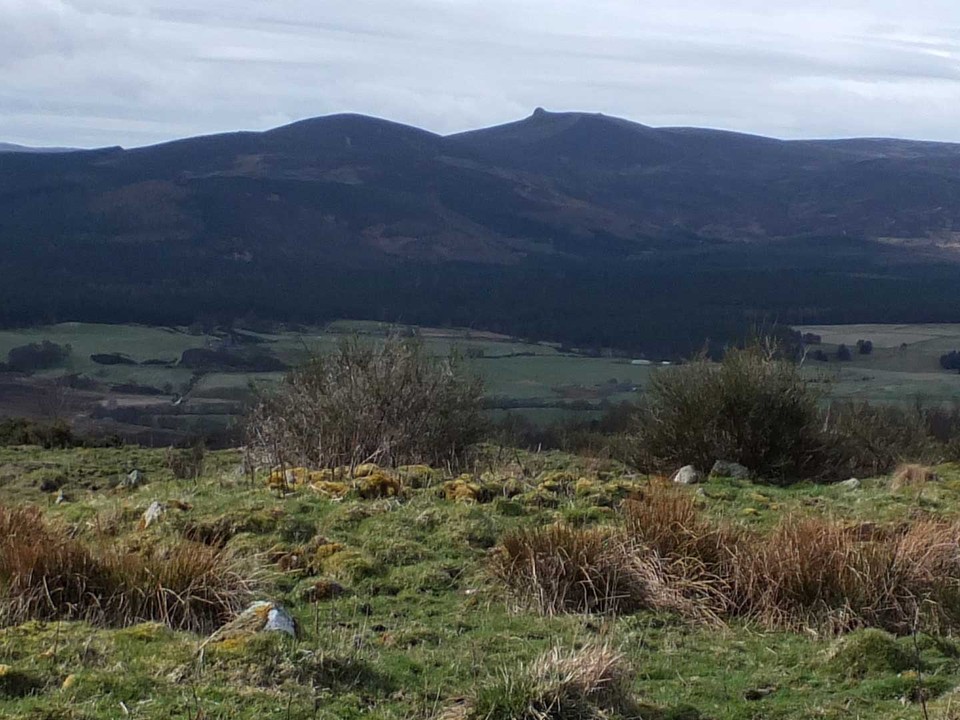
The following day promised superb weather and, after checking my maps, I set out to climb Scolty Hill, including a short detour to search for Upper Shampher Kerbed Cairn. This was accomplished following a 45 minute walk from the FC car-park.
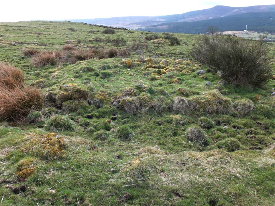
Upper Shampher Kerbed Cairn is reputed, by Canmore, to have been robbed, but nevertheless is an attractive mound, probably only half a metre in height, but exhibiting a robust kerb, somewhat tumbledown on the south, but otherwise essentially complete. The ring is filled with sizeable, moss-covered boulders, though whether they belong to the original cairn, or result from field clearance, is probably anyone's guess.
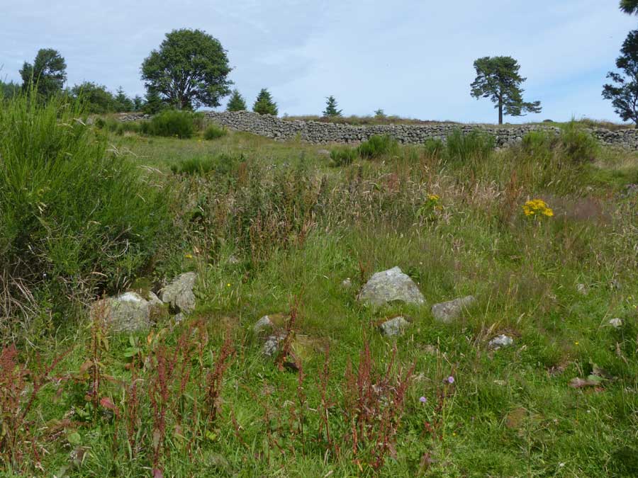
The route to the cairn starts at the Forestry car-park for Scolty. and follows the gently rising low-level path that contours round the north side of the hill, eventually reaching a col at NO 674 936. Ahead, a substantial wall stretches off to the west, and a well-worn path follows it on its north side. Five minutes walking brings you to a gate in the wall. Go through the gate and the cairn lies just 40 metres beyond, to the southwest.

 Posted by LesHamilton