The Modern Antiquarian
Log in
|
Register
Home
Latest Posts
Forums
Maps
Help
Browse Sites
News
Blog
Contributors
The Books
Select
-
Belgium
Denmark
Eire
France
Germany
Greece
Italy
The Netherlands
Norway
Portugal
Republic of Malta
Spain
Sweden
Switzerland
United Kingdom
Scotland
Highland (Mainland)
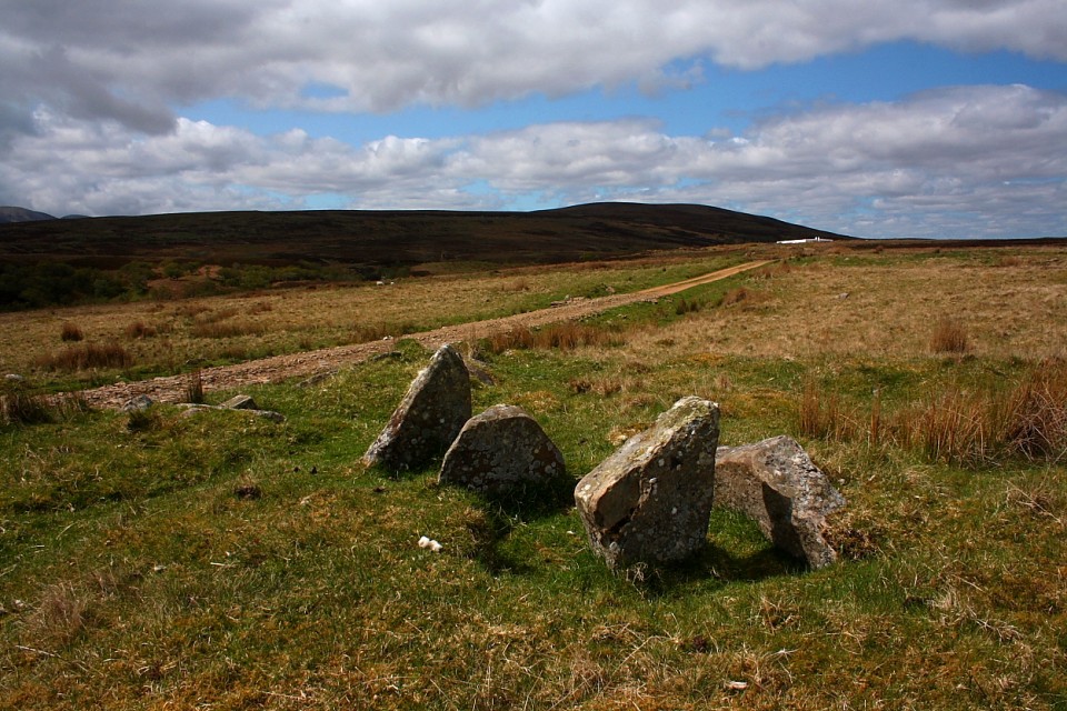
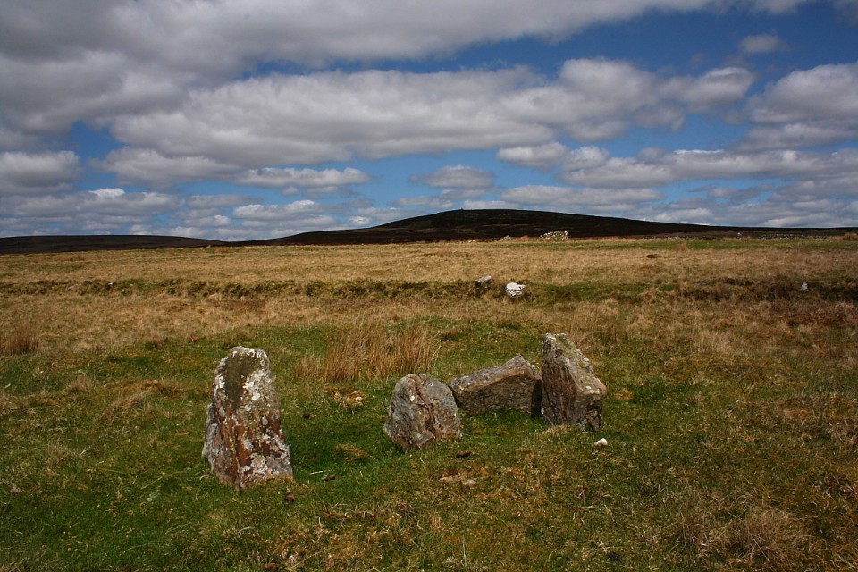
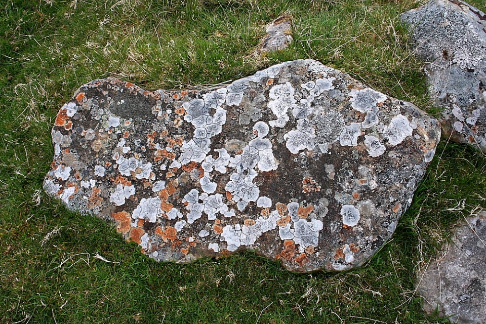
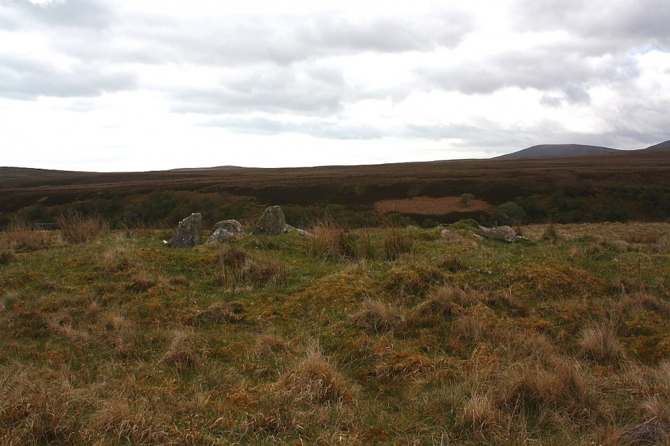
Loedebest West
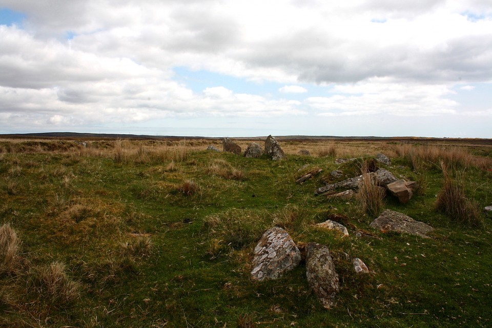
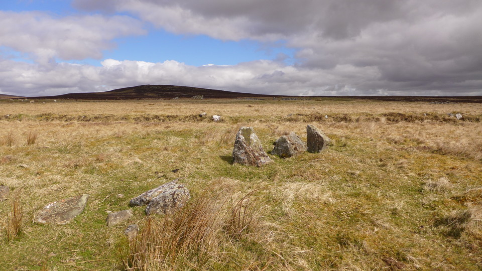
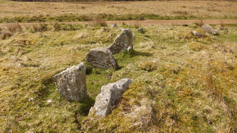
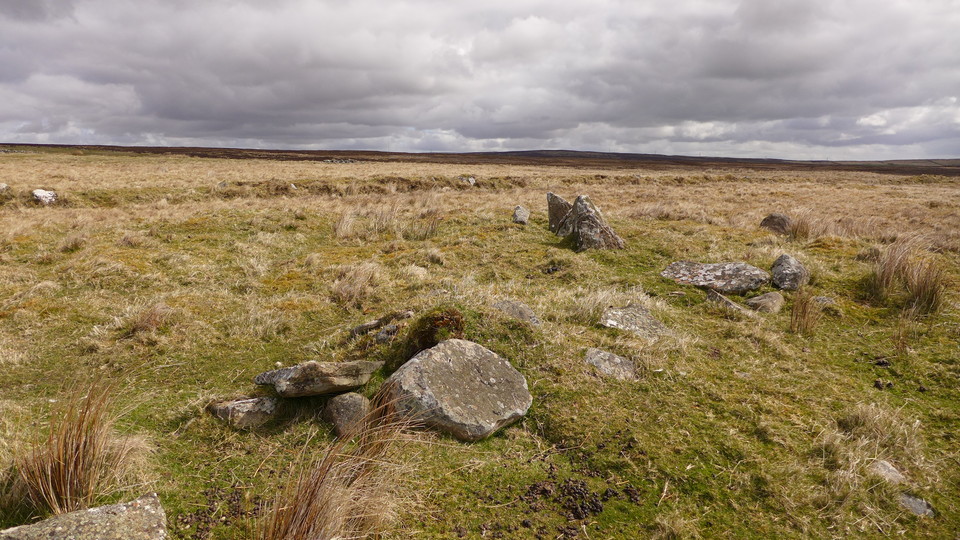
Chambered Cairn
Loedebest West (Chambered Cairn) on The Modern Antiquarian, the UK & Ireland's most popular megalithic community website. 8 images, plus information on many more ancient sites nearby and across the UK & Ireland.
Image © thelonious
Nearest Town:
Wick (29km NE)
OS Ref (GB):
ND13383229 /
Sheets: 11, 17
Latitude:
58° 16' 15.13" N
Longitude:
3° 28' 36.51" W
Added by
thelonious
Images (8)
0 discussions
Start a topic
Show |
Hide
Web searches for Loedebest West
Flickr
Google
Google Images
MAGIC
The Megalithic Portal
Bing
Stone Pages
Streetmap.co.uk
Wikipedia
Show map
(inline Google Map)
- Sites within 20 km -
-
Loedebest (0.65km E) (2 posts)
Carn Liath (0.69km E) (13 posts)
Cnoc Na Maranaich (0.79km NNW) (6 posts)
Loedebest Wood (0.8km ESE) (5 posts)
Cnoc Na Maranaich (0.88km NW) (6 posts)
Cnoc Na Maranaich (0.88km NW) (15 posts)
Balantrath (1.86km ESE) (4 posts)
Buoldhu (1.95km ENE) (3 posts)
Cuag (2.11km ENE) (4 posts)
Dunbrae (2.28km E) (2 posts)
Burn of Houstry (2.3km ENE) (5 posts)
Dunbeath Broch (2.83km ESE) (15 posts)
Minera (3.06km NE) (6 posts)
Houstry Broch (South) (3.13km NE) (3 posts)
Tiantulloch (3.41km NE) (7 posts)
Knockinnon (4.34km E) (4 posts)
Upper Latheron (4.78km E) (6 posts)
Upper Borgue (5.29km S) (4 posts)
Guidebest (5.39km ENE) (15 posts)
Upper Borgue (5.68km S) (5 posts)
Buldoo (6.72km ENE) (18 posts)
Wag of Forse (7.47km ENE) (9 posts)
Forse House (7.65km ENE) (2 posts)
Forse House (8.09km ENE) (1 post)
Forse, Latheron (8.38km ENE) (6 posts)
Golsary (8.76km ENE) (5 posts)
Rumster (9.15km ENE) (3 posts)
Loch Rangag (10.46km NNE) (13 posts)
The Great U of Stemster (10.83km NE) (37 posts)
Achkinloch (10.89km NE) (8 posts)
Langwell (10.89km SSW) (7 posts)
Borgue Langwell (10.95km SSW) (9 posts)
Backlass (11.43km WNW) (5 posts)
Allt Preas Bhealaich (12.99km WSW) (3 posts)
Rangag West (13.29km NNE) (11 posts)
Ousdale Burn (14.82km SSW) (22 posts)
Dirlot (16.27km NNW) (5 posts)
Green Table (16.76km SSW) (0 posts)
Camster Stone Row (17.03km NE) (4 posts)
Tulach Mor (17.12km N) (12 posts)
Grey Cairns of Camster (17.17km NE) (81 posts)
Hill O'Many Stanes (17.18km ENE) (29 posts)
Tormsdale Stone Rows (17.43km N) (1 post)
Tulach Beag (17.5km N) (5 posts)
Lower Camster (18.44km NE) (9 posts)
Carn na Mairg (Carn Merk) (18.68km NNW) (11 posts)
Caen Burn, Strath of Kildonan (18.89km SW) (35 posts)
Bruan (18.91km ENE) (6 posts)
Carn Laggie (19.24km SW) (12 posts)
Kilphedir (19.3km SW) (16 posts)
Kilphedir (19.33km SW) (9 posts)
Salscraggie Cairn (19.45km SW) (9 posts)
Kenny's Cairn (19.5km ENE) (14 posts)
Tulach Buaile a'Chroic (19.52km NNW) (6 posts)
Warehouse S (19.62km ENE) (14 posts)
Tulach Lochain Bhraseil (19.69km NNW) (4 posts)
Warehouse N (19.72km ENE) (8 posts)
Tulach an Fhuarain (19.73km NNW) (2 posts)
Garrywhin (19.9km ENE) (29 posts)
Garrywhin Stone Rows (19.9km ENE) (5 posts)
Garrywhin Cists (19.9km ENE) (10 posts)
Garrywhin (19.98km ENE) (9 posts)
- Add -
-
Add news
Add an image
Add fieldnotes
Add folklore
Add miscellaneous
Add a link
-
Add a site
Add a nearby facility
Add an alternative name/spelling
Images
(click to view fullsize)
Add an image
 Image © thelonious