The Modern Antiquarian
Log in
|
Register
Home
Latest Posts
Forums
Maps
Help
Browse Sites
News
Blog
Contributors
The Books
Select
-
Belgium
Denmark
Eire
France
Germany
Greece
Italy
The Netherlands
Norway
Portugal
Republic of Malta
Spain
Sweden
Switzerland
United Kingdom
Wales
Pembrokeshire
Buckspool Camp
Cliff Fort
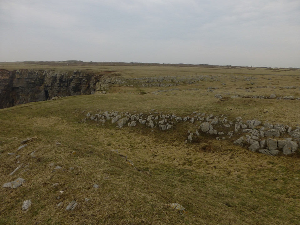
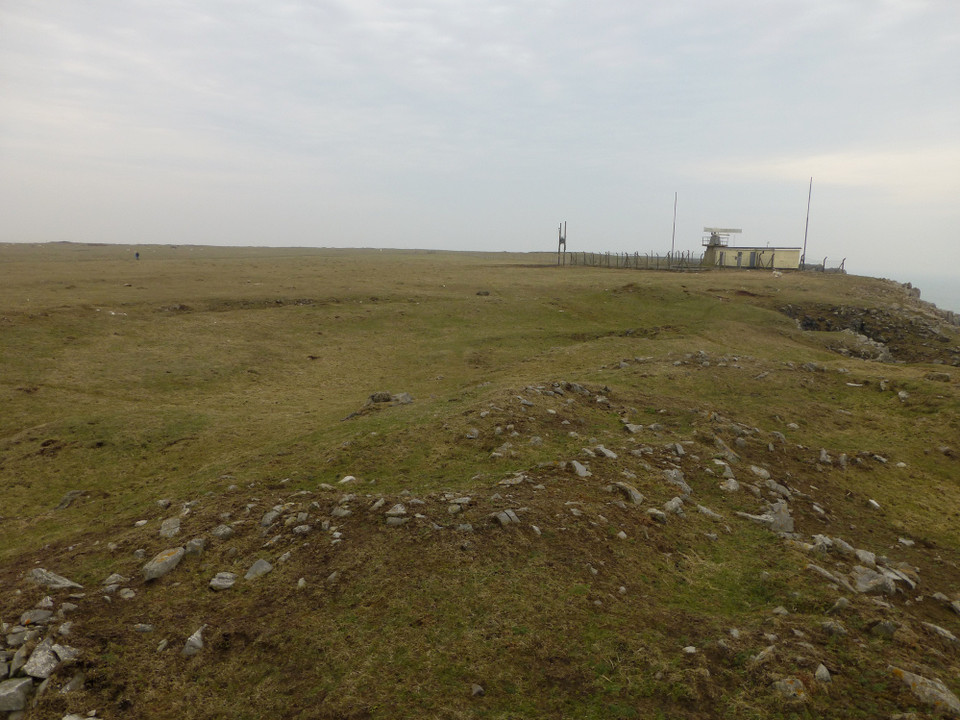
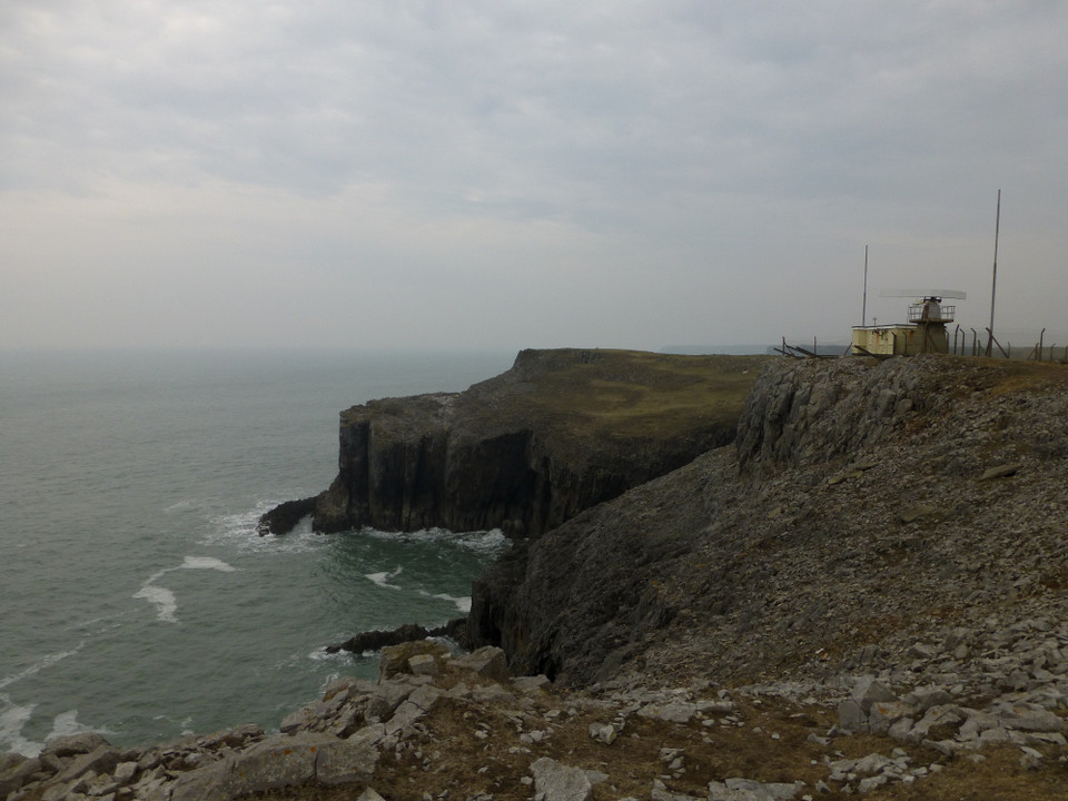
Buckspool Camp (Cliff Fort) on The Modern Antiquarian, the UK & Ireland's most popular megalithic community website. 8 images, plus information on many more ancient sites nearby and across the UK & Ireland.
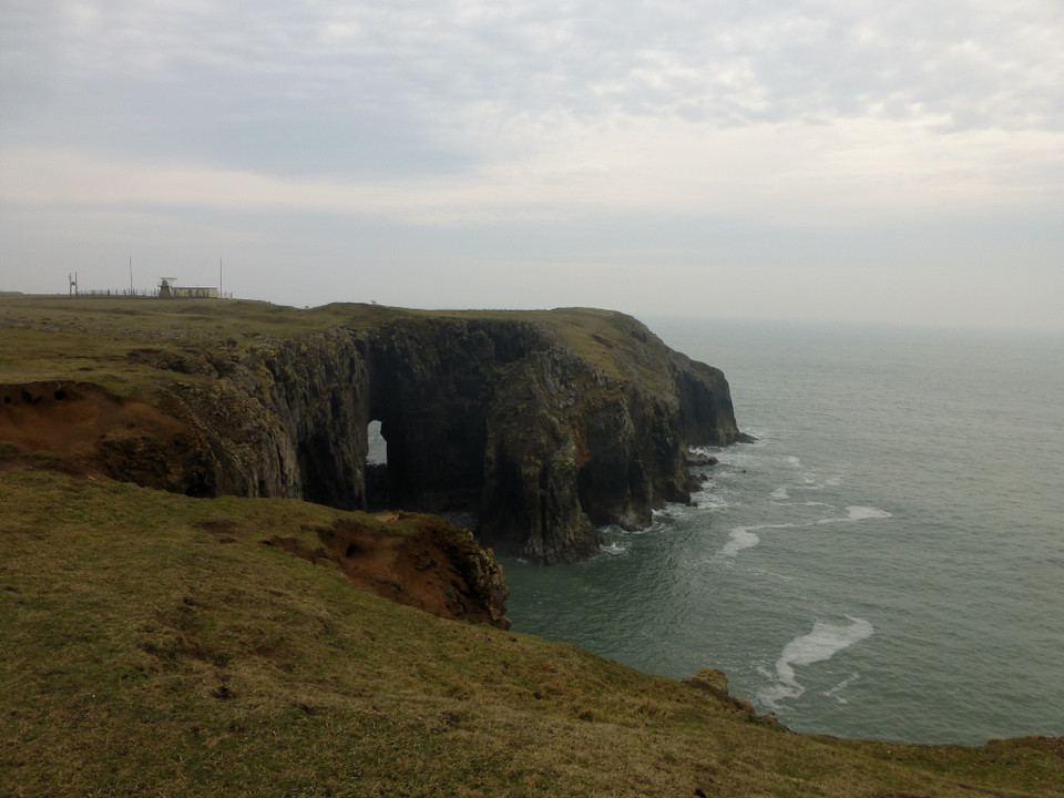
Image © A. Brookes (29.3.2014)
Nearest Town:
Pembroke (9km NNE)
OS Ref (GB):
SR95439340 /
Sheet: 158
Latitude:
51° 36' 6.12" N
Longitude:
4° 57' 15.54" W
Added by
thesweetcheat
Images (8)
0 discussions
Start a topic
Show |
Hide
Web searches for Buckspool Camp
Flickr
Google
Google Images
The Megalithic Portal
Bing
Stone Pages
Streetmap.co.uk
Wikipedia
Show map
(inline Google Map)
- Sites within 20 km -
-
St Govan's Well and Chapel (1.36km E) (24 posts)
Crocksydam Camp (2.07km W) (6 posts)
Freyneslake (2.17km ENE) (2 posts)
Bosherston (2.17km NE) (21 posts)
Harold Stone (2.71km NNE) (10 posts)
Flimston Bay Camp (2.73km W) (10 posts)
Stackpole Warren (2.81km ENE) (5 posts)
Devil's Quoit (Sampson) (3.09km N) (11 posts)
Devil's Quoit (Stackpole) (3.1km ENE) (23 posts)
Merrion Camp (4.4km NW) (10 posts)
Greenala Point (6.11km ENE) (11 posts)
Dry Burrows (6.32km NNW) (12 posts)
Corston Beacon (6.83km NW) (1 post)
Bowett Wood Camp (7.46km N) (1 post)
Wallaston (7.5km NW) (1 post)
The Wogan (8.61km NNE) (10 posts)
Devil's Quoit (10.04km WNW) (17 posts)
Lewiston Hill (10.21km NW) (2 posts)
Kings Quoit (11.23km ENE) (28 posts)
West Popton Camp (11.39km NW) (5 posts)
West Pickard Camp (11.9km WNW) (8 posts)
Old Castle Head (12.5km ENE) (2 posts)
Norchard Beacon (13.56km ENE) (1 post)
Skomar Camp (13.68km ENE) (8 posts)
Castles Bay (13.69km WNW) (10 posts)
Castle Park (13.69km ENE) (1 post)
Lydstep Mesolithic forest and footprints (14.83km ENE) (5 posts)
The Hanging Stone (14.89km N) (32 posts)
The Long Stone (15.02km NW) (6 posts)
South Hook Rath (15.58km WNW) (7 posts)
Little Castle Head (St Ishmaels) (16.42km WNW) (10 posts)
Great Castle Head (St Ishmaels) (16.46km WNW) (10 posts)
Little Hoyle Cave (16.91km ENE) (3 posts)
Gumfreston (17.14km ENE) (2 posts)
Hoyle's Mouth Cave (17.16km ENE) (5 posts)
Dale Point (17.65km WNW) (8 posts)
West Beacon (Caldey Island) (17.96km ENE) (2 posts)
Longstone Field (18.32km WNW) (3 posts)
Little Castle Point (18.76km W) (7 posts)
The Long Stone (18.96km WNW) (5 posts)
Potter's Cave (Caldey Island) (19.21km ENE) (1 post)
Nanna's Cave (19.32km ENE) (2 posts)
Great Castle Head (Dale) (19.72km WNW) (11 posts)
- Facilities within 20 km -
-
Tenby Tourist Informat... (Tourist Information: 19.2 km NE)
- Add -
-
Add news
Add an image
Add fieldnotes
Add folklore
Add miscellaneous
Add a link
Add a nearby facility
Add an alternative name/spelling
Images
(click to view fullsize)
Add an image
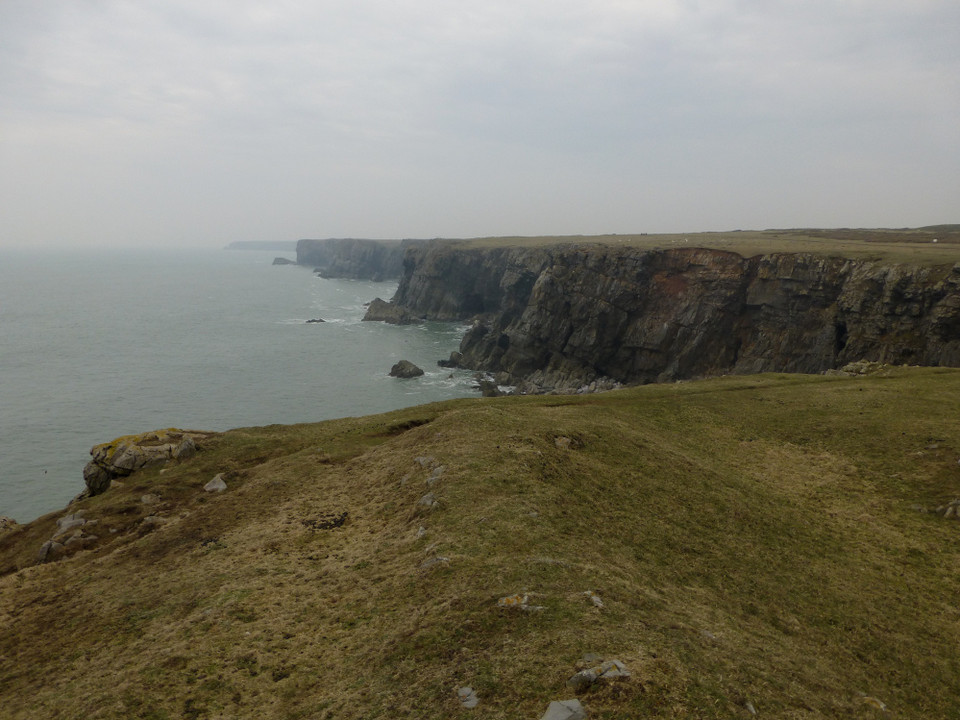
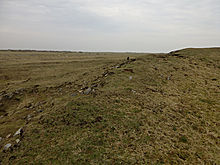 Image © A. Brookes (29.3.2014)
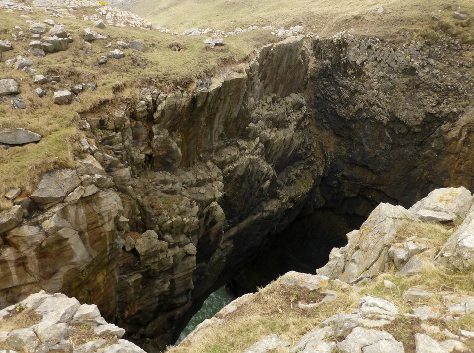