|
|

|
|
Twyn BlaenantRing Cairn
|
||||||||||||||||||||||||
|
|
|
Images (click to view fullsize) |
|
|
Miscellaneous |
|
|
There was (is?) a further cairn uphill from here, to the NNE. If it still exists it's lost on the verge of a forestry track. From GGAT: Carn Buarth Maen (SO0269104854) |
 Posted by thesweetcheat
22nd November 2015ce |
|
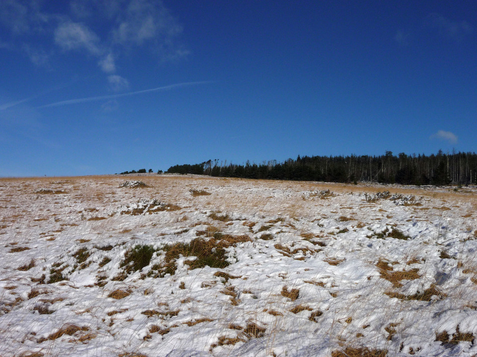
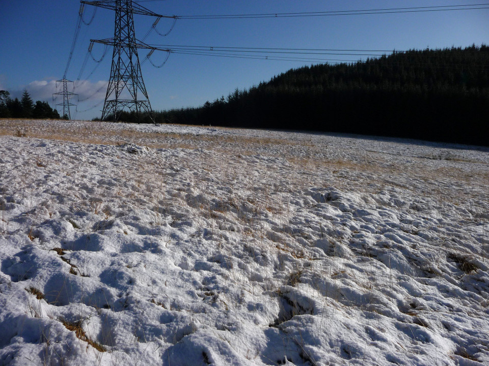
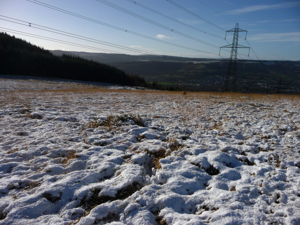
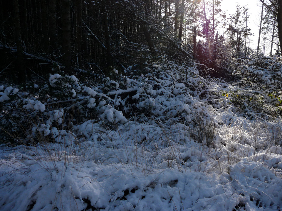
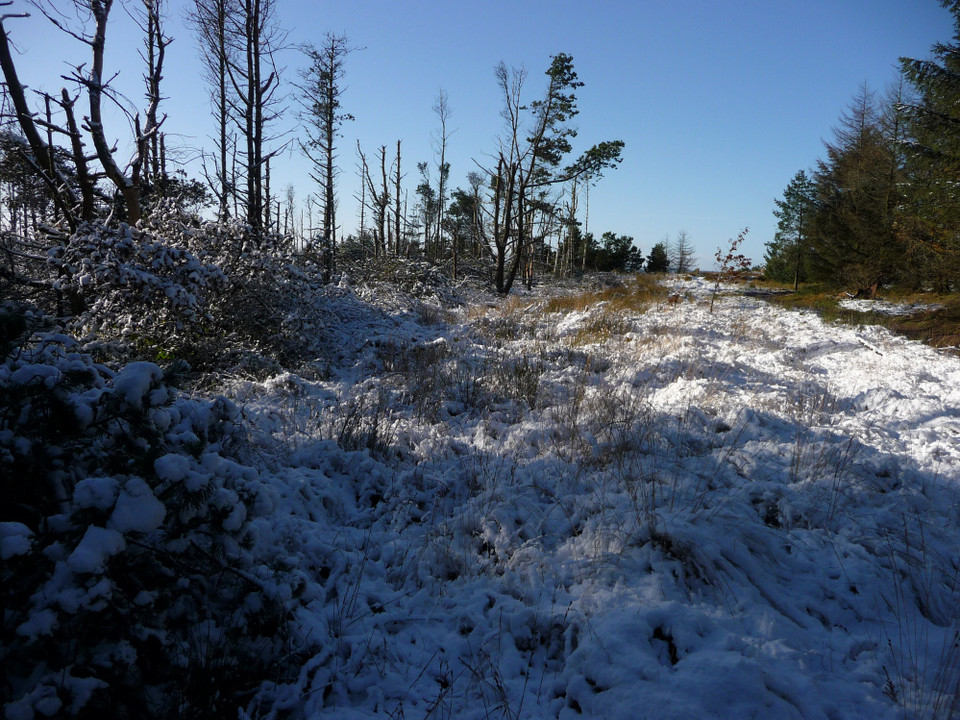
Visited 21.8.13 Directions: See directions for Mynydd Aberdare. Once you have parked up follow the edge of the trees south (along a rough track) and the Cairn is a just before you reach the electricity pylons. Assuming you can spot it of course! In a nutshell I couldn’t find it! The ground here is undulating and covered in long, rough grass. Good luck if you come looking. Even Coflein says it is ‘barely visible’. Coflein states: ‘This 14m diameter ring cairn is surrounded by a 0.2m high circular turf-covered stone bank with a gap in S side. The cairn is barely visible. Sited on S moorland slopes under rough grass’ |
Posted by CARL 22nd August 2013ce Edited 22nd August 2013ce |