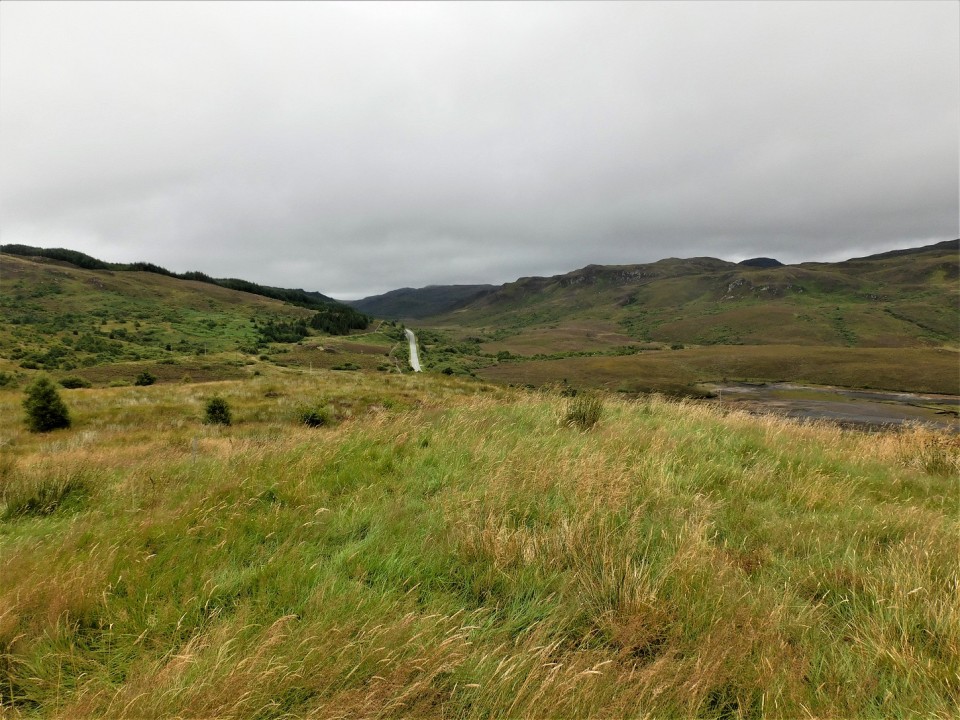
Plenty room to park to the north east of the cairn near the A890. As you come through the woods heading south, keep an eye on the west side of the road for remnants of the old single track main road. Park near the Allt Gleann Udalain Burn at a gate, this is indicated on the OS map.
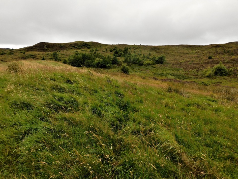
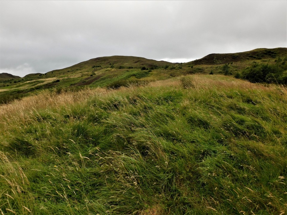
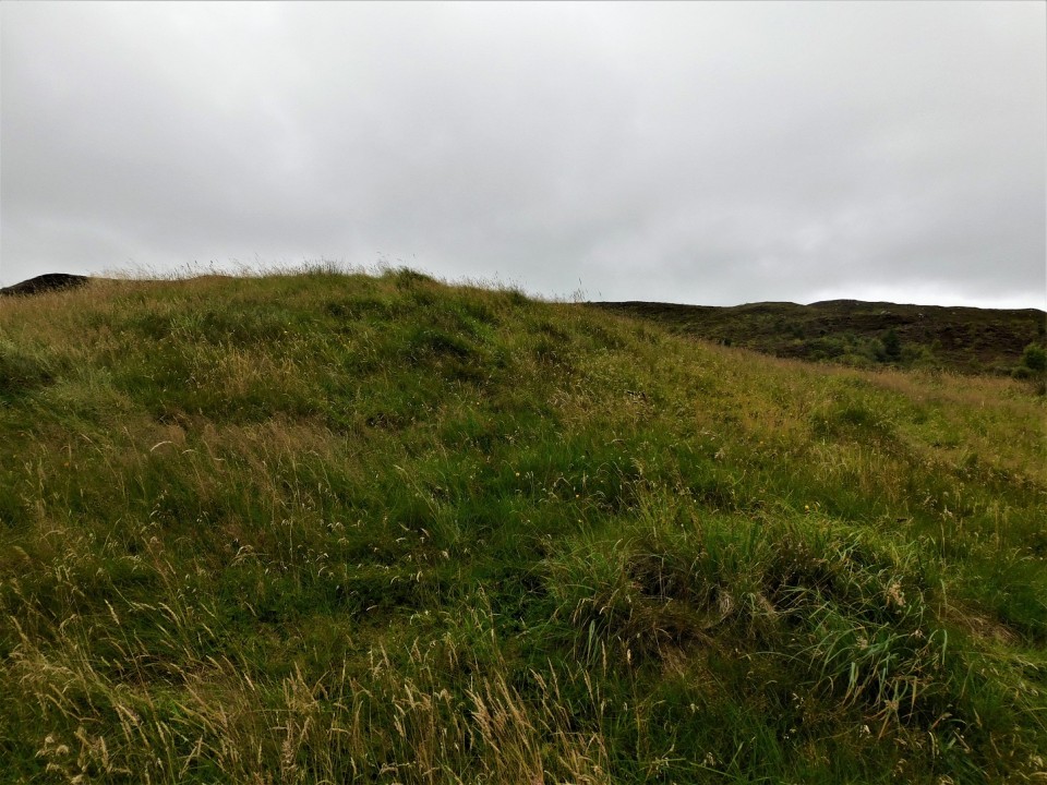
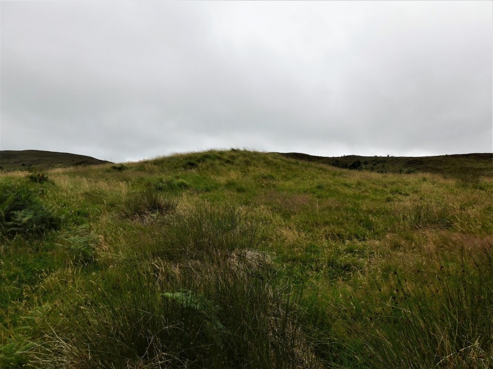
From here its a sometimes boggy, sometimes a path but mainly turf covered route to the site, heading south west. Basically follow the main road.
The cairn is grass covered but stonework can be felt underfoot. It must have been huge as the footprint is at least 27m, despite the covering different levels can just about be seen. I thought it resembled a Wessex type cairn.
If you look back up the A890 you can see where to park. Spaces are further south but a deer fence and locked gates get in the way. Further up the gate can be opened.
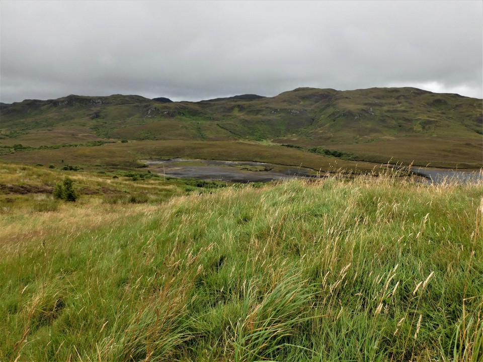
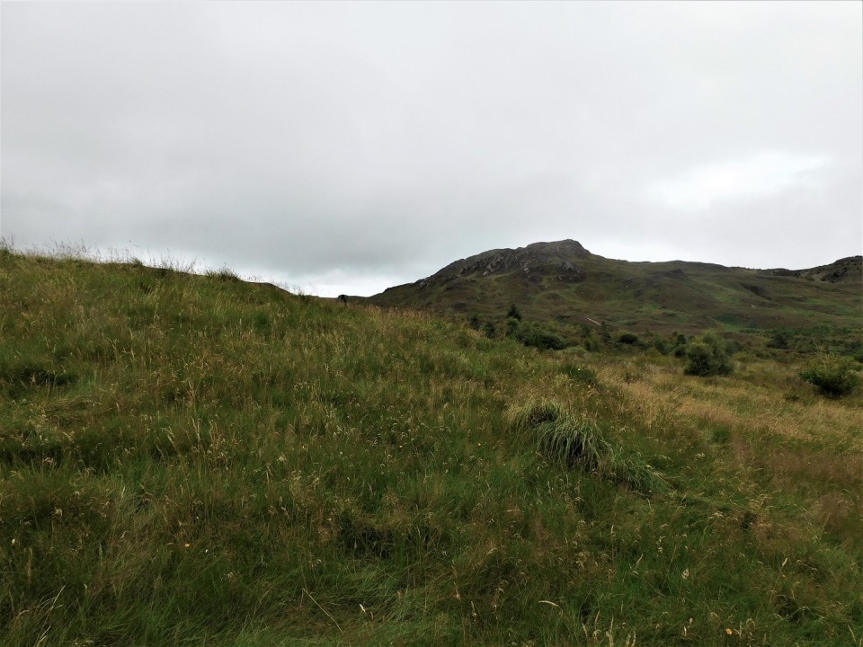
Despite a murky day, great views of the nearby dam and surrounding hills.
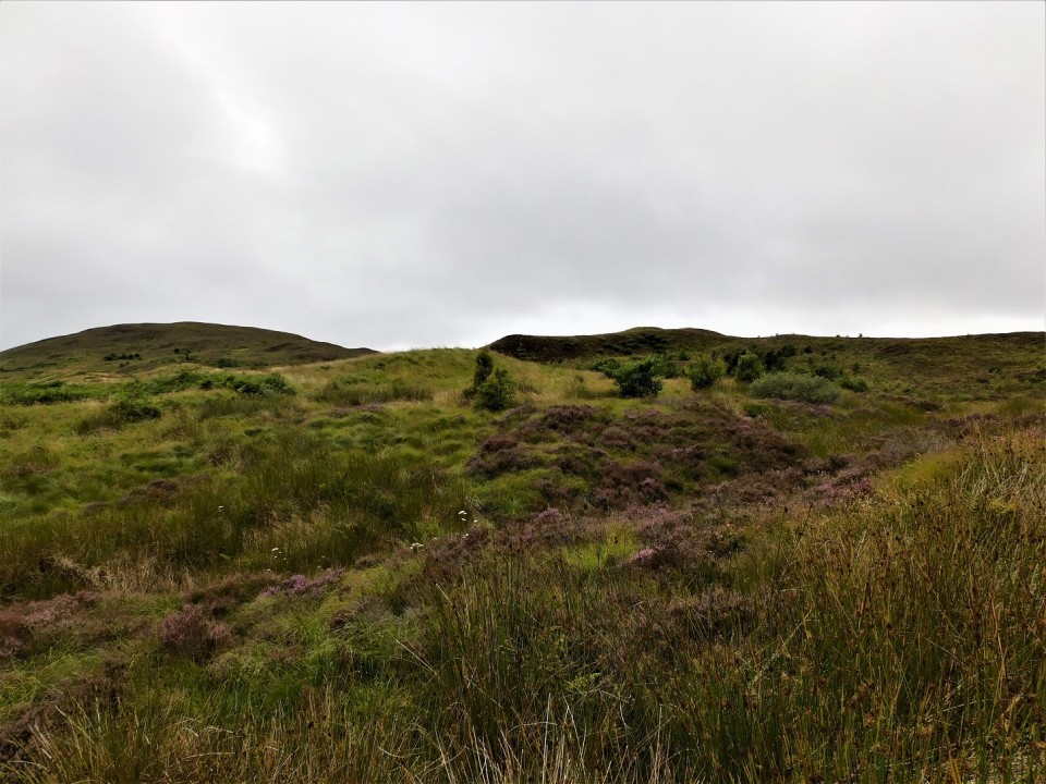
Although close to the road (a short distance north of Glean Udalain Dun) I could see no sign of the Cairn as we drove past. There was nowhere close to park and the road is busy. I didn’t have time to park any distance away and walk to the site. The Cairn is situated in an area of undulating ground – which I guess didn’t help?
Canmore states:
‘A structure consisting of a circular bank and an inner ditch, set into the slope to form a level platform. The bank averages 27m in diameter and 0.9m in height. The ditch averages 7m in width and is well defined in the NW quadrant but has virtually disappeared to the SE probably due to the formation of peat. The inner platform is about 13.5m in diameterand centrally placed within it is a low circular mound 6.5m in diameter. It’s position on a relatively steep slope is at first sight difficult to explain but a very close parallel is provided by a disc-barrow at Hall of Ireland, Stenness, and the well known chambered cairn on Wideford Hill, also in Orkney’.