Enoch Burn
Ancient Village / Settlement / Misc. Earthwork
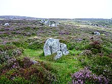 Image © drew/amj Image © drew/amj
|
Also known as:
| Nearest Town: | | Rattray (18km SSE) | | OS Ref (GB): | | NO129627 / Sheet: 43 | | Latitude: | | 56° 44' 51.96" N | | Longitude: | | 3° 25' 27.73" W |
|
|
Web searches for Enoch Burn
|
|
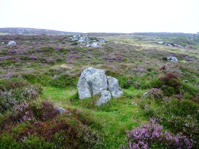
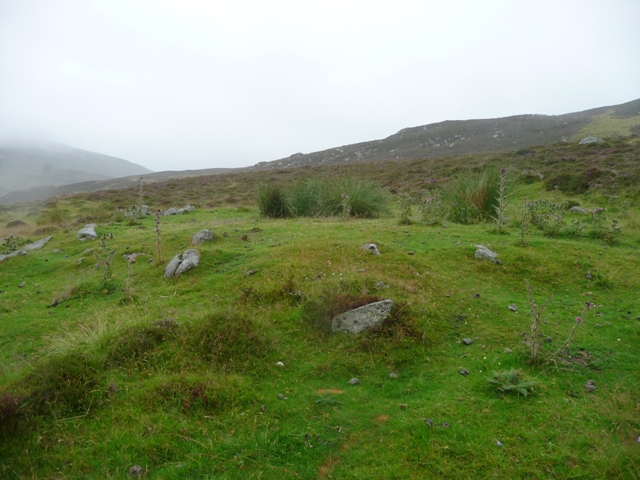
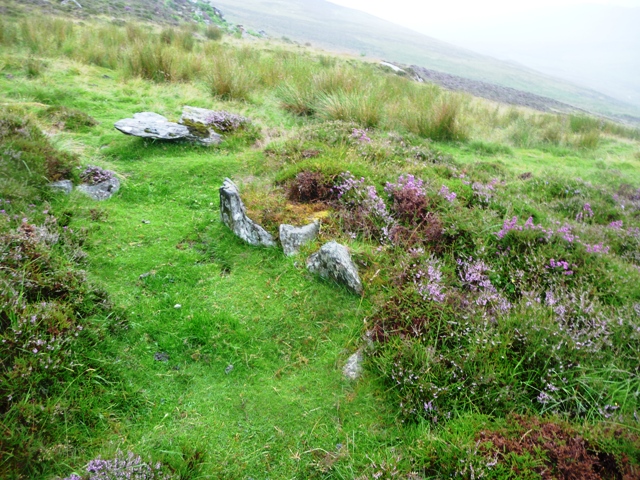
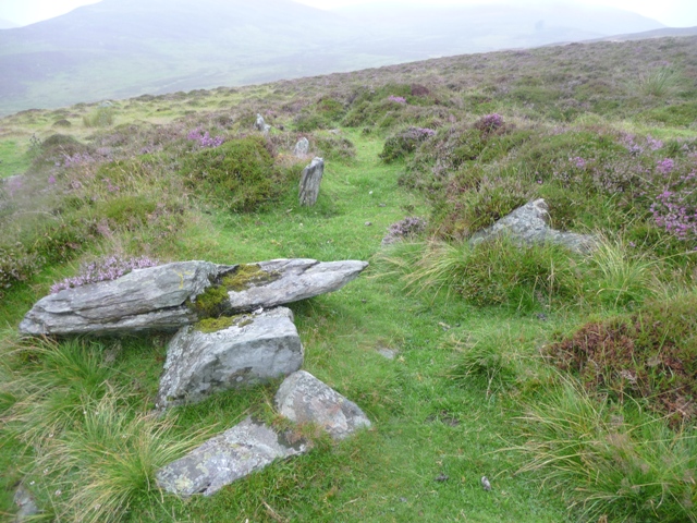
These hut circles or rectangles are situated near the four poster and are easily seen from the track to the east.
NO12926271 is the northern hut.
NO12866263 the second hut has a possible enclosure as well.
Visited 1/8/2013.
|
 Posted by drewbhoy
5th August 2013ce
|
|