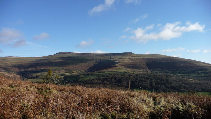
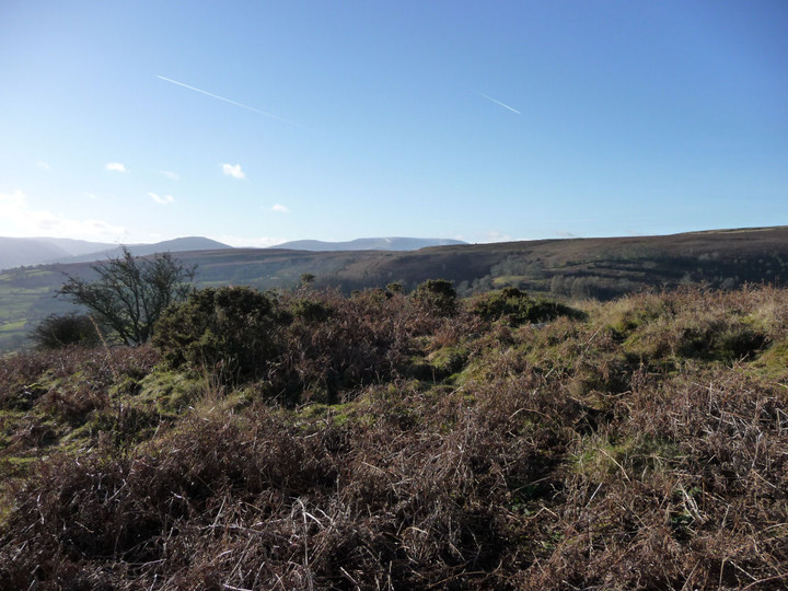
Cairn sited on the steep slopes of Pen Tir, the southeastern ridge of Mynydd Llangorse.
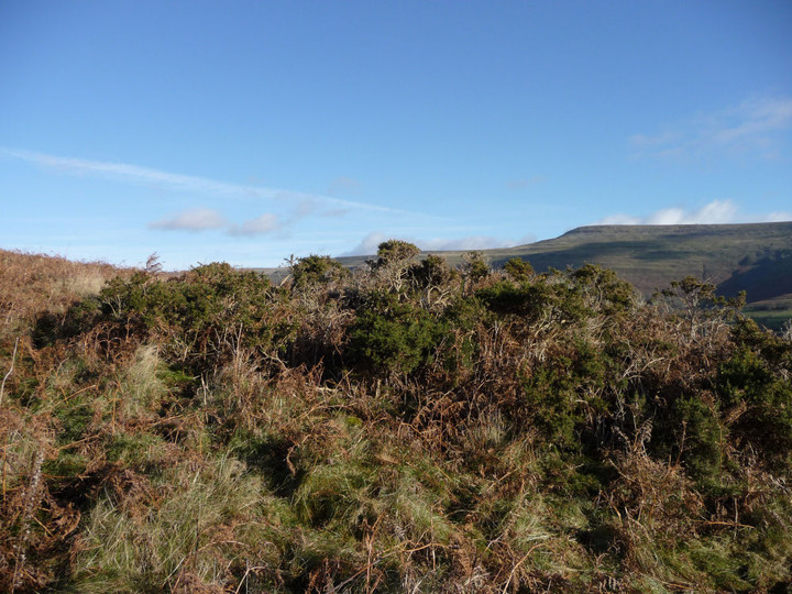
Can be found by following a steep, narrow path through bracken heading uphill from the Coed y Gaer promontory "fort".
Coflein description (courtesy of David Leighton, 2006):
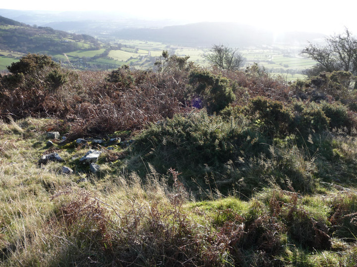
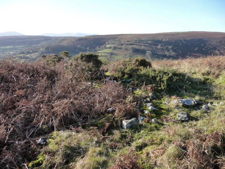
"Cairn I, Pentre, is a robbed round cairn located on the sloping nose of a ridge, at a point where it levels out slightly, at an altitude of 330m above sea level. The cairn measures 13.5m (E-W) by 12.5m and 1m high on the S, the mound merging with rising ground on the north. An earthfast slab on the north perimeter measuring 0.35m long, 0.2m high and 0.03m thick is a possible kerb stone.
The interior has been hollowed out to form a central depression 3m (E-W) by 2m and 0.6m deep. The entire mound is overgrown with gorse."

 Posted by thesweetcheat