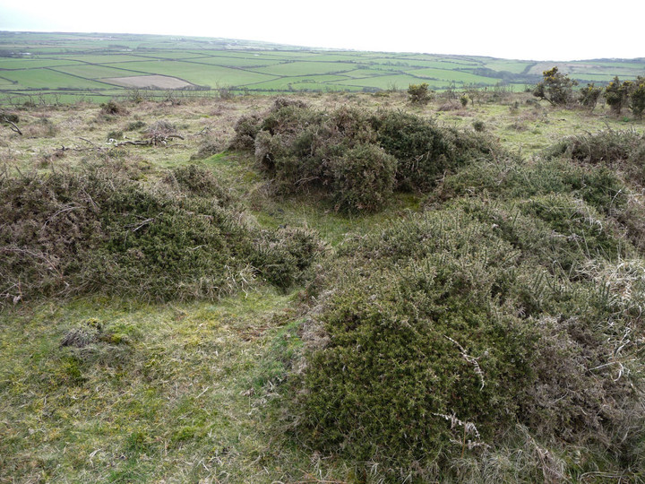
Hardings Down cairn
Cairn(s)
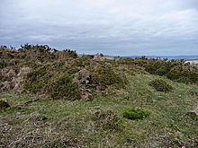 Image © A. Brookes (20.3.2012) Image © A. Brookes (20.3.2012)
|
| Nearest Town: | | Burry Port (10km N) | | OS Ref (GB): | | SS43819052 / Sheet: 159 | | Latitude: | | 51° 35' 28.76" N | | Longitude: | | 4° 15' 18.08" W |
|
|
Web searches for Hardings Down cairn
|
|
Coflein description:
A mound of earth and stones, 6.1m in diameter and 0.6m high, a central depresion indicates robbing.
|
 Posted by thesweetcheat
20th March 2012ce
|
|