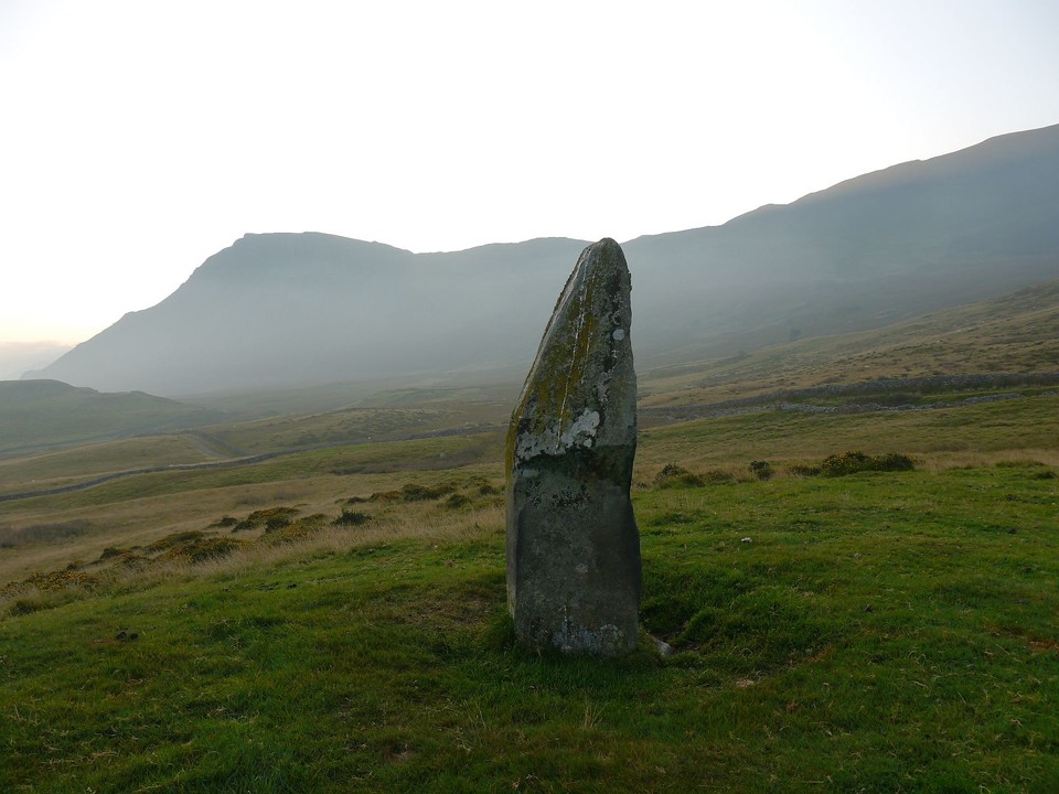
It's been said before but I think it can bear it one more time...... Gawd this is a pretty place.
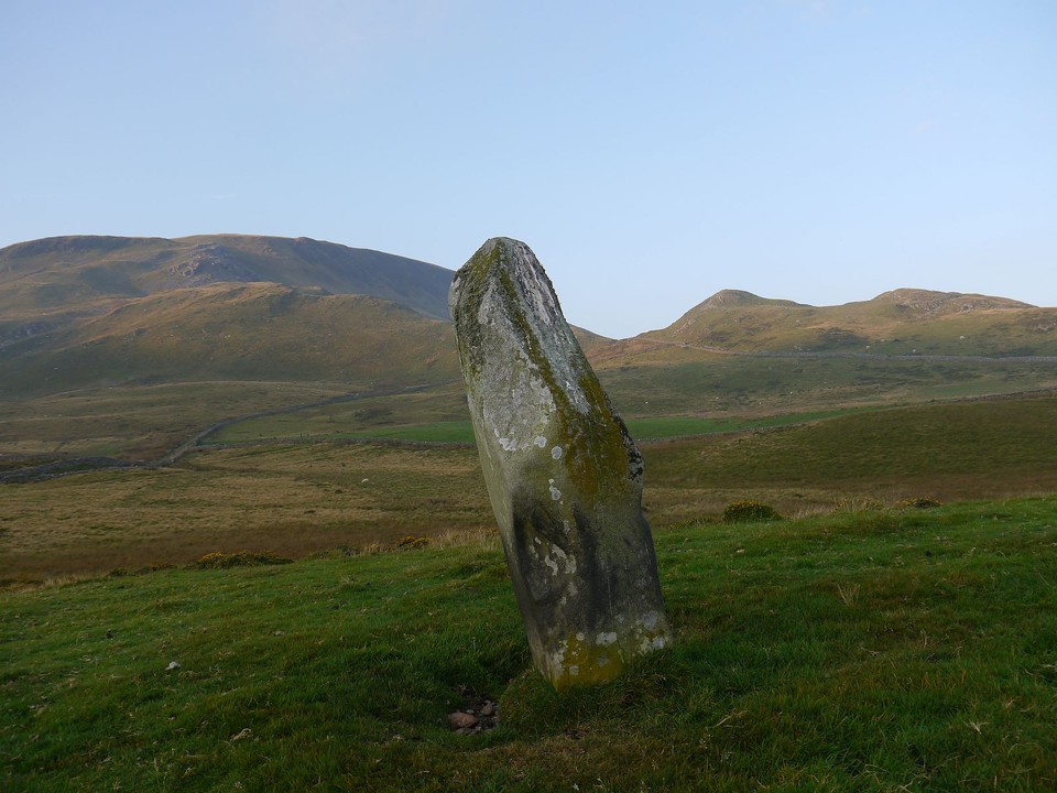
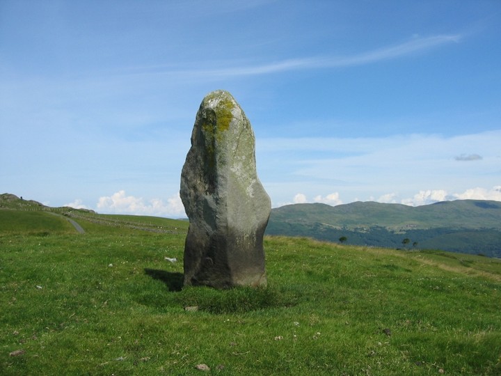
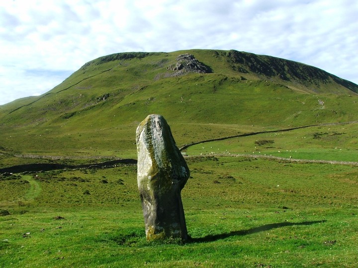
Not many mountains in North Wales attract as much megalithic attention as Cadair Idris, this stone is the best sited, the best looking and possibly the biggest in the area. It's as tall as I am, that is a bit shy of six feet, as we approached from the east it had a pronounced thumb shape to it, the lower half has been sheep rubbed smoothly black.
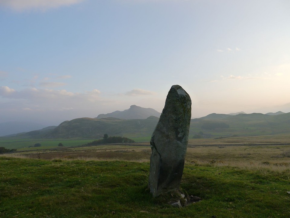
From here we can see the field across the valley where Cerrig arthur stone circle is sited.
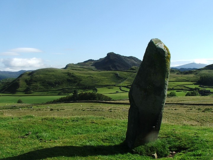
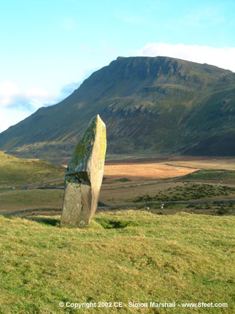
Worth noting that if you face roughly west and look along the two flat faces of the stone, they line up with two dips in the horizon - including the one through which the modern-day road passes towards the coast. This may add credence to the idea that the stone was some kind of way marker on the ancient trackway from Tywyn.
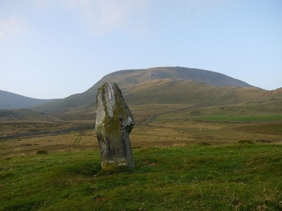
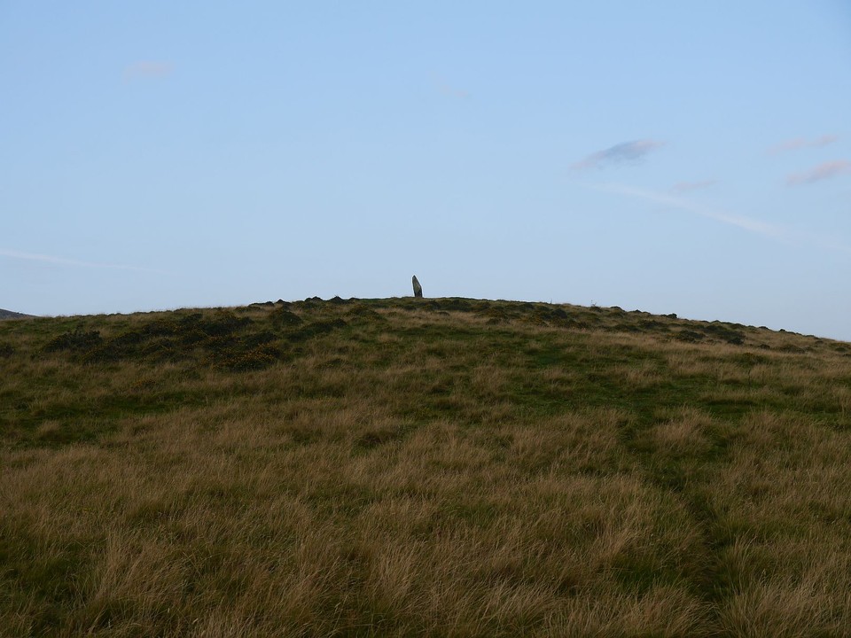
The mound the stone stands on is pretty impressive too - rises out of nowhere as you walk towards it from Cregennen. It's most likely a natural deposit of moraine, but the shape of it tempted me to wonder if it had been altered by human hands. Certainly gives a great view of Cader, as Kammer's photos show.
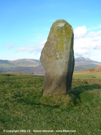
Visited 24th November 2002: Waen Bant is easy to find, but if you want to park nearby you'll have to risk putting at least two wheels on the grass (something I thought twice about because I didn't fancy getting stuck).
There's no public footpath to Waen Bant, but it's not far from the road, and there are no fences between the road and the stone. We approached from the bottom of the field, and got a good view of the stone sitting on it's little lump of land in front of us as we walked.
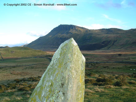
The stone isn't as big as it looks in photos (I'm warning you now so that you don't expect something enormous). At a guess (based on William's height) I'd say it's about 1.75 metres high. There's a distinctive undercut on it's eastern side which is about half the stone's height in length. I'm not sure that this is artificial, but I'm certain it was significant to whoever erected the stone.
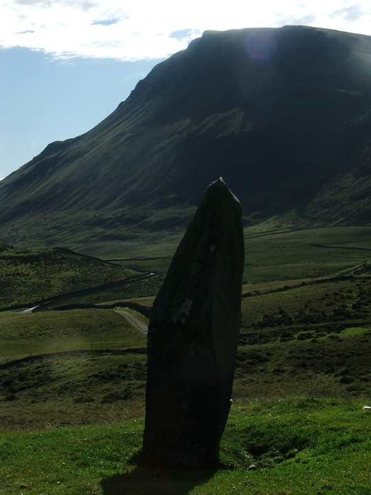
The views out towards Cadair Idris are spectacular, as are the views north towards the mountains on the other side of the Mawddach Estuary. The stone seems to be orientated towards Cadair Idris (specifically the peak called Craig-las). Apparently there's another standing stone to the south east of Waun Bant called the Afon Arthog Stone, but this isn't marked on the OS map, so in the failing light we decided not to try and find it.


 Posted by postman
 Posted by StarryEyes
 Posted by Kammer