|
|

|
|
Carrow HillHillfort
|
||||||||||||||||||||||||
|
|
|
Images (click to view fullsize) |
|
|
Fieldnotes |
|
|
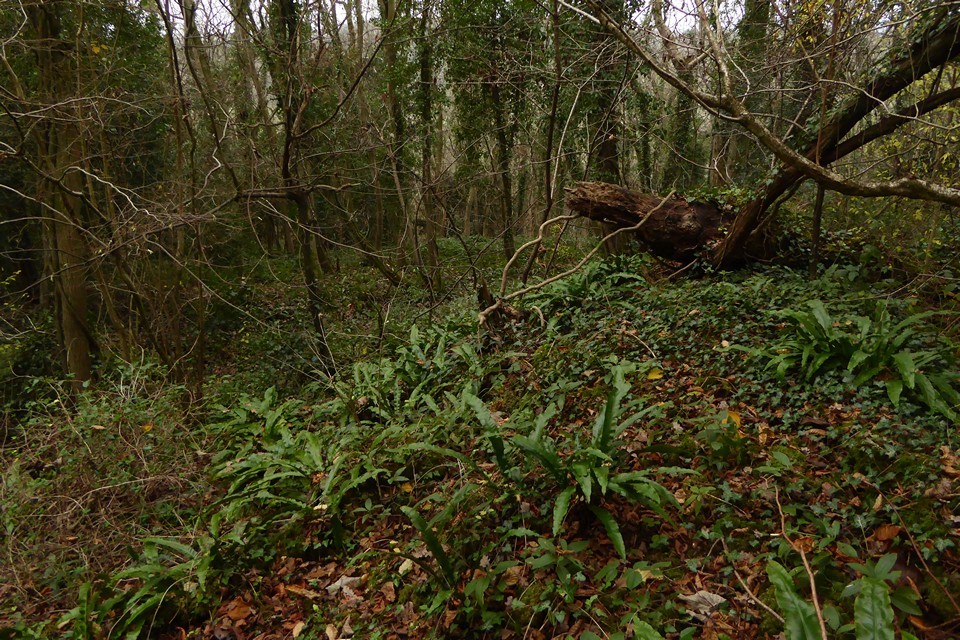
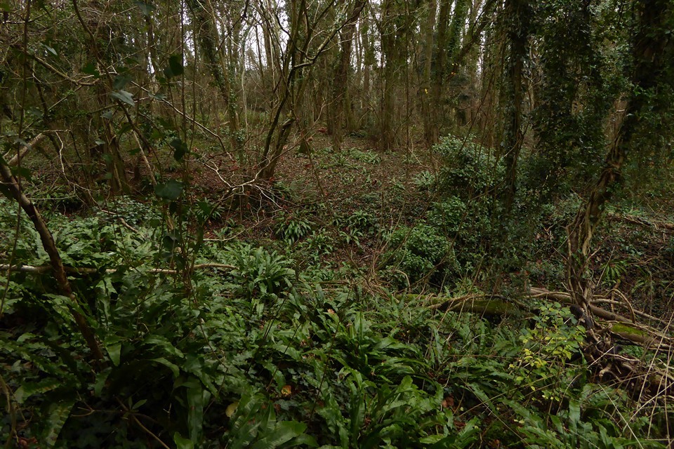
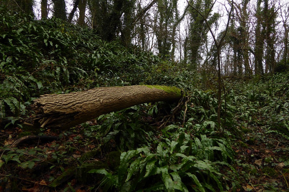
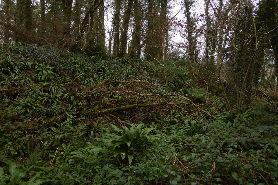
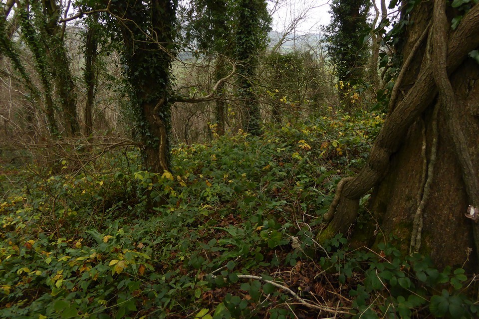
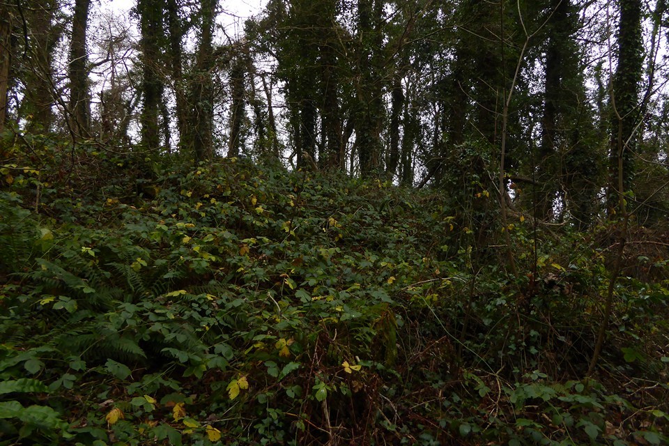
Visited 19.6.11 This is a difficult site to access. We parked next to a house on a minor road to the south of the hamlet of Carrow Hill. Karen and the children stayed in the car whilst I walked up the road to climb over the wooden stile near the trees. The stile was overgrown but at least it was there. The O/S map shows another public right of way directly opposite the house we parked next to. It doesn't exist – just an impenetrable 10ft high hedgerow! The field was full of crop so I walked along its edge, keeping the woods to my left. Again, I was faced by a seemingly solid 'wall' of bushes/hedge etc but kept walking in the hope of finding a gap. Eventually I did and started the steep and slippery climb up towards the Hillfort. The undergrowth was very bad and on several occasions I was tempted to give up but kept at it. As I climbed higher it started to thin out a bit. Eventually I got to the top and as luck would have it came out bang on top of the Hillfort! It wasn't very easy to make things out clearly due to the undergrowth but when I got my eye in I could make out the arc of the single bank / ditch – about 2 metres high in places when standing in the ditch. I followed the bank around for a short while before getting fed up of battling through brambles etc. I was then faced with the onerous task of slipping and sliding back down the hill. Although the defences are fairly well preserved a visit to this site is not one for the faint hearted. Unless you are reasonably fit you would have no chance. To be honest I can't say it was really worth the effort. (But glad I did nonetheless!) COFLEIN describes the site thus: 'A roughly D-Shaped enclosure c52 m by 46 m, defined by a bank and ditch, except on the N, where it rests on steep natural slopes. There is a W facing entrance'. |
Posted by CARL 29th June 2011ce |