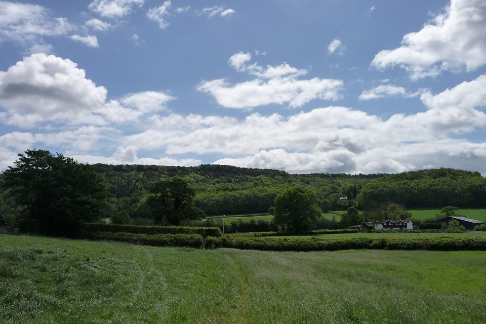
After crossing first one then another disused railway line at Porth-y-Waen, we have a view of the today’s first prehistoric site, the wooded Blodwel Rock fort. It looks like a fairly stiff climb up from the valley floor, and so it proves to be.
The fort occupies the top of the ridge, the steep scarp face of which we climb from the northwest. Offa’s Dyke has been an absent friend for the last couple of miles, but we reacquaint ourselves here. The fort is just in England, but the frontier has curved back eastwards again and we are poised on the edge of Wales here.
In truth it’s not the most impressive of forts, the woodland cover is quite dense and the tangled vegetation underfoot anywhere off the main paths makes it difficult to really get a sense of what’s what. This is compounded by the fact that Offa’s Dyke runs along the lip of the scarp, although Pastscape (see Misc. post) suggests that the Mercian earthwork stopped short of the fort and simply made use of what was already here and at neighbouring Llanymynech Hill.
From Rhys's 'Celtic Folklore: Welsh and Manx' (ch. 7):
Next comes the story of Llynclys Pool in the neighbourhood of Oswestry. That piece of water is supposed to be of extraordinary depth, and its name means the 'swallowed court.' The village of Llynclys is called after it, and the legend concerning the pool is preserved in verses printed among the compositions of the local poet, John F. M. Dovaston, who published his works in 1825 [..] How much exactly of the poem comes from Dovaston's own muse, and how much comes from the legend, I cannot tell. [..]
Alaric's queen was endowed with youth and beauty, but the king was not happy; and when he had lived with her nine years he told Clerk Willin how he first met her when he was hunting 'fair Blodwell's rocks among'. He married her on the condition that she should be allowed to leave him one night in every seven, and this she did without his once knowing whither she went on the night of her absence. Clerk Willin promised to restore peace to the king if he would resign the queen to him, and a tithe annually of his cattle and of the wine in his cellar to him and the monks of the White Minster.
The king consented, and the wily clerk hurried away with his book late at night to the rocks by the Giant's Grave, where there was an ogo' or cave which was supposed to lead down to Faery. While the queen was inside the cave, he began his spells and made it irrevocable that she should be his, and that his fare should be what fed on the king's meadow and what flowed in his cellar.
At this point the retelling gets very complicated. But basically the queen was actually an ogress on her day off and she wasn't very happy at the interference. So she sank the town under water so all the miserable clerk would get would be slimy water and pike to eat. I don't know if she was intending to get rid of her bored husband at the same time but that seems to have been the side effect.
The visitor will, Dovaston says, find [..] stories which the villagers have to tell of that wily clerk, and of 'the cave called the Grim Ogo'; not to mention that when the lake is clear, they will show you the towers of the palace below, the Llynclys, which the Brython of ages gone by believed to be there.
The hillfort on Blodwell Rock, an outwork of the fort to the south (SJ 22 NE 6),consists of a single bank and ditch on a steepish slope, running parallel to the western scarp of the hill for 300 yards. The ends of the vallum are turned at right angles to meet the scarp and at the north the defences are doubled and are covered by an additional outwork. The ditch is on the east of the bank, not on the west as would be expected if it were part of Offa's Dyke, which in fact ends 600 yards to the north. The line of the Dyke in this sector is the western cliff of the Llanymynech, Blodwell and Crickheath Hills, utilising the earlier earthworks where they exist.
The hillfort encloses an area of 6.2 acres.
The enclosure measures internally, 310.0m by 55.0m, and is bounded on the lower, S-E side by an earth and stone bank, up to 10.0m in width, and in height, 0.3m internally and up to 3.0m externally. As described by Fox, the bank turns at the ends of the work to terminate upon the scarp. The ditch, where extant, is reduced to a terrace 4.0m wide, with an outward -facing scarp, 4.0m wide, 2.0m high. The entrance through the N-E corner is covered by a bank on the S, and additional defence on the weak, N-E side across the ridge-top is provided by an outer bank, 10.0m wide and in height, 1.2m externally, 1.5m internally.


 Posted by thesweetcheat
 Posted by Rhiannon