|
|

|
|
Boiling Well barrowsRound Barrow(s)
|
||||||||||||||||||||||||
|
|
|
Images (click to view fullsize) |
|
|
Fieldnotes |
|
|
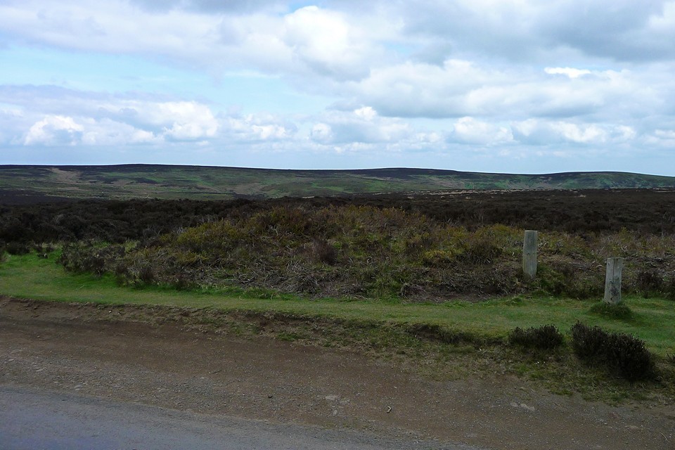
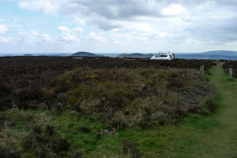
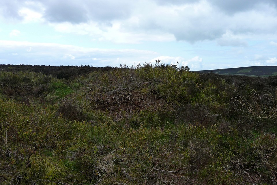
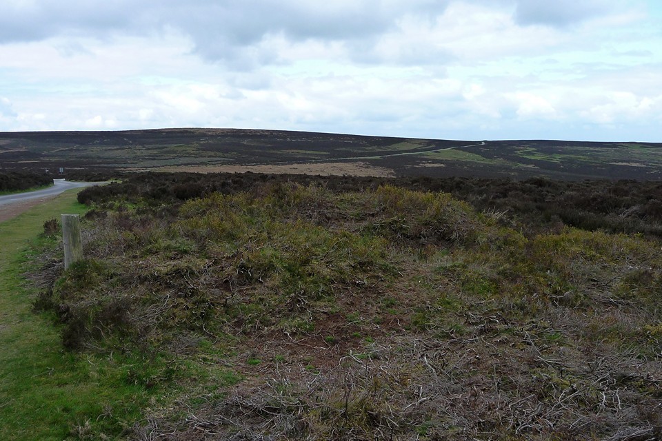
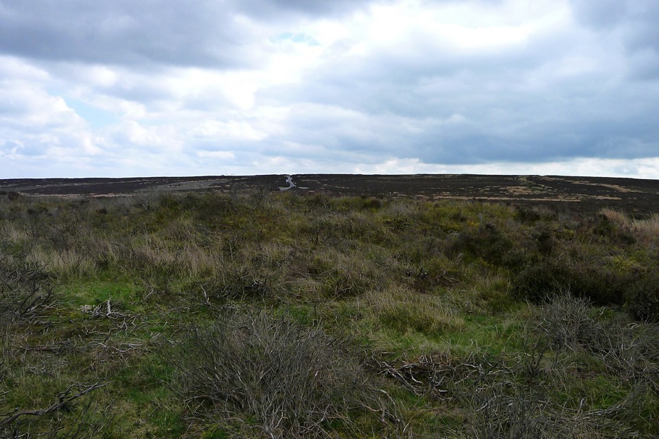
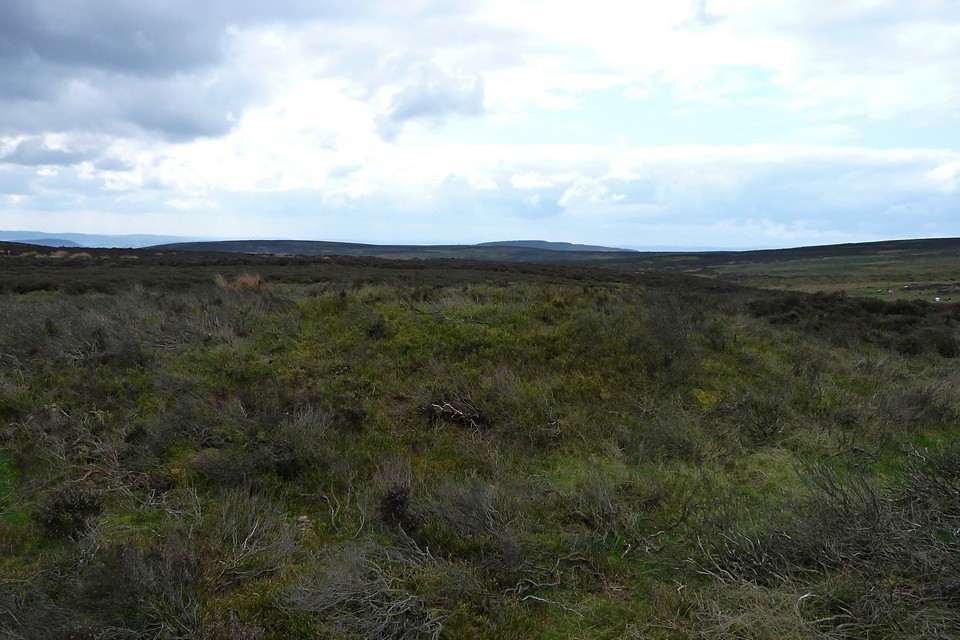
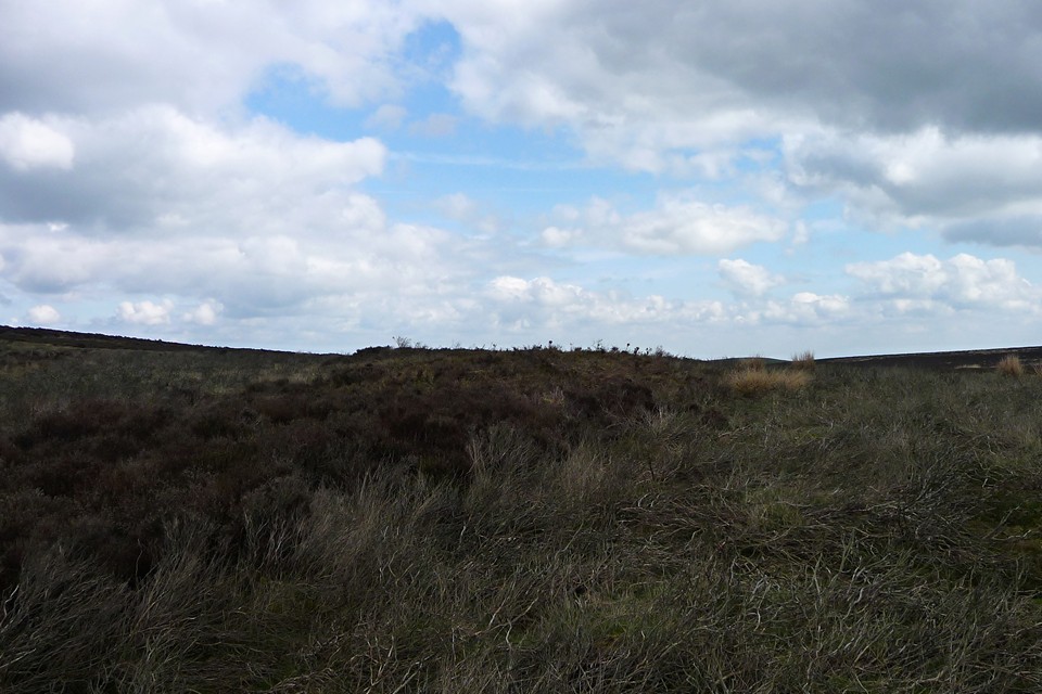
Leaving the overcrowded hilltop of Pole Bank (16.4.2011), I head eastwards along a narrow path through the heather until it hits the minor road that runs from Asterton along the top of the Long Mynd before heading eastwards to Church Stretton. This road will take me straight to the two barrows near the Boiling Well, a natural spring that I fail to notice as I pass (principally because I mistake the larger pool shown on the OS for it, but there you go). So, barrows near a source of water - who'd have thought? The western barrow lies in dense (but thankfully low) heather on the north side of the road. It has obviously been cleared of vegetation at some point, but the new growth springing up suggests it might be covered anew before too long. The top has been dug into, as ever. The road is busy on this sunny Saturday and the frequency of passing cars, coupled with the difficulty of getting a satisfactory photo of the barrow (which seems to blend into the heather at every opportunity), makes for a rather frustrating visit. So I rejoin the road and continue eastwards. The contours rise again and the eastern barrow sits near the top of the hill, even closer to the road than its companion. It has had a hard time, with the road cutting across its edges, excavation digging into its top and now a row of wooden posts hammered in to (presumably) discourage anyone from driving across it to get to the nearby parking area. However, what it loses in stature and condition, it gains in the extensive views to the east across Shropshire. Neither barrow is the finest that Shropshire - or even the Long Mynd - has to offer, but both endure. They are probably ignored by hundreds of people each summer, whether on foot or in cars. I'm glad to have stopped by. My own route continues eastwards, parallel with the road. Cutting northwards through the bracken, the hillside suddenly drops away down towards a small reservoir far below. From here there are fine views of Bodbury Ring and Caer Caradoc. An excellent place to sit a let the world pass by, before heading into The Devil's Mouth. |
 Posted by thesweetcheat
24th April 2011ce |
Miscellaneous |
|
|
Two round barrows, near the natural spring known as the Boiling Well. Pastscape descriptions: Western barrow (SO42189463): Bowl barrow on The Long Mynd, 100m north-east of Boiling Well. Scheduled (RSM). The surrounding ditch has become infilled but survives as a surface feature some 32m wide. Eastern barrow (SO42619449): Bowl barrow on The Long Mynd, 500m east-south-east of Boiling Well. Scheduled (RSM). The central area of the mound is hollowed to a depth of 0.4m as a result of excavation. The surrounding ditch has been destroyed around the south-west side by a roadway but survives as a buried feature some 1.5m wide around the remainder of the barrow. |
Posted by thesweetcheat 20th April 2011ce |