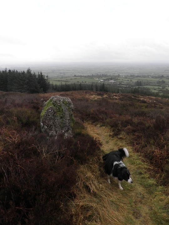
Castlegale
Standing Stone / Menhir
 Image © Bawn79 © 2011 Image © Bawn79 © 2011
|
| Nearest Town: | | Kildorrery (6km S) | | OS Ref (IE): | | R721160 / Sheet: 73 | | Latitude: | | 52° 17' 42.31" N | | Longitude: | | 8° 24' 32.32" W |
|
|
Web searches for Castlegale
|
|
|
This standing stone marks the gap in the southern ramparts of the hillfort. It is referred to in the Ballyhoura project as a standing stone.
|
 Posted by bawn79
16th March 2011ce
|
|