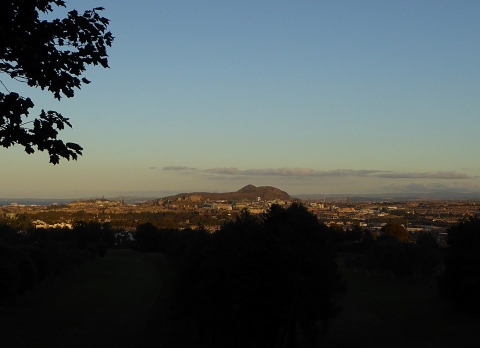
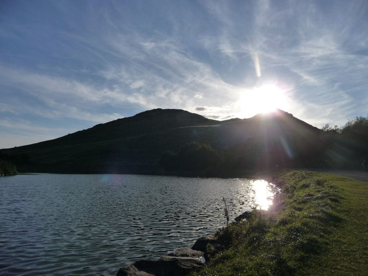
Holyrood Park stretches out before me, a relative wilderness at the heart of such a cosmopolitan city. I’m immediately glad to be wearing boots, for the paths are muddy and slippery. No gentle urban promenade then. I take a path marked “Dry Dam” on the Ordnance Survey map, skirting the southwestern end of St Margaret’s Loch and passing below the fragmentary remains of St Anthony’s Chapel, perched on a rocky shelf above the water. The whole of the park appears covered in archaeological remains of one sort or another.
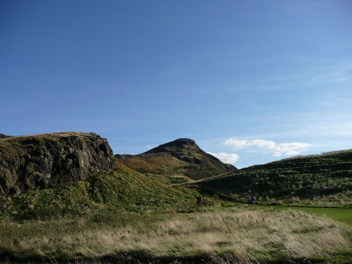
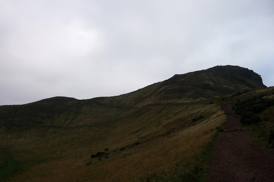
Dry Dam becomes Long Row, a gently sloping climb up the valley between Whinny Hill and the higher Arthur’s Seat. Tiny figures surround the trig point on the summit, a popular walk even on this grey October evening. Whinny Hill, over to my left, looks the perfect spot for a hillfort, being encircled by a series of natural terraces, but the hill is actually bare of any remains. After a while, the view to the east reveals Dunsapie, where a kidney-shaped loch provides a natural moat on the north and west sides of the flat-topped hillfort. One for another day though.
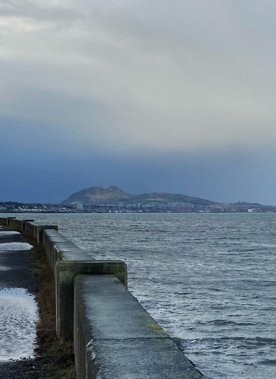
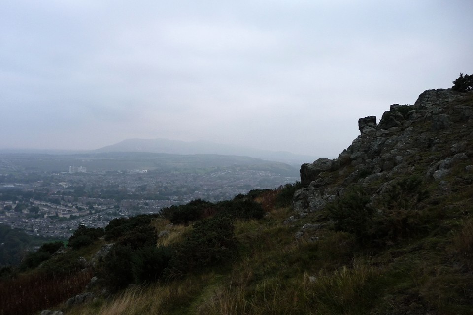
My path continues to climb, before a fork offers a choice of the lower Crow Hill straight ahead or the steeper route to the main summit to my right. I take the latter, eager to get up to the top while the best of the light remains. It’s not the best of visibility either way, a misty grey cloud hanging low and blotting out anything much further away than the centre of the city, the Pentland Hills are little more than a blue smudge.
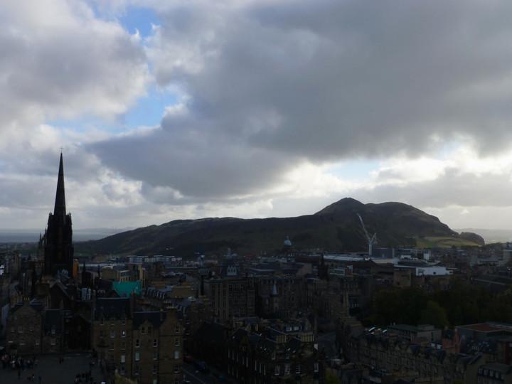
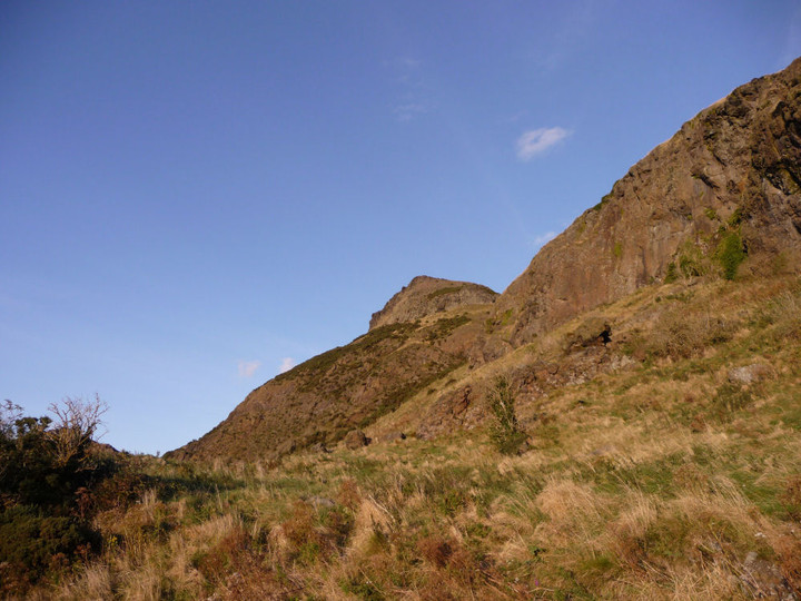
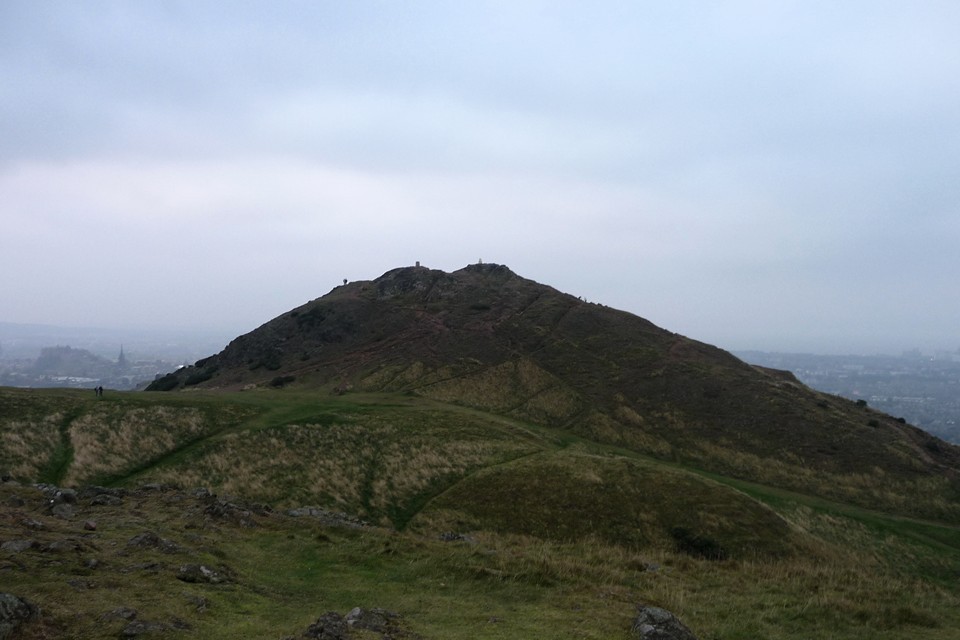
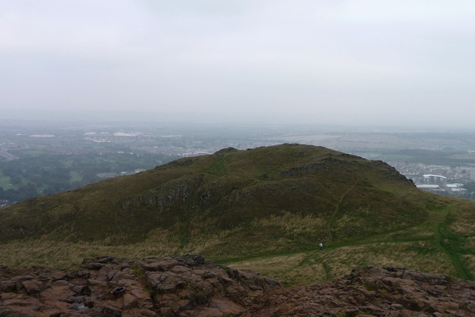
The climb steepens, providing a view down onto the flat plateau above the Salisbury Crags cliff tops. At the top, the path turns to bare rock and becomes a near-scramble. Being a volcanic hill, the rock is hard and glassy, making it very slippery in the slight damp of the evening. The summit is marked with a graffiti’d trig pillar showing, rather enterprisingly, a sword in a stone. There are also quite a few people (mainly tourists like me) who’ve made the walk up. Calton Hill looks a long way below and even the rocky promontory of Edinburgh Castle is dwarfed by this hill, despite its relatively modest height. There is an excellent view of neighbouring Crow Hill, but from this side no traces of the hillfort remain that I can see.
So I head off over there for a closer look. The summit of Crow Hill is lower and much flatter than that of Arthur’s Seat, more suited to enclosing for settlement or defensive purposes. However, there are no obvious remains that I could see on the hill, the possible exception being on the eastern slopes. Here, some bands of rock suggest the possible remains of a rampart, but these could equally be natural. Below these, a series of cultivation terraces cut across the hill as it slopes towards Dunsapie. I walk around the hilltop for a while, still finding nothing obvious, before heading back towards the path below Arthur’s Seat.

 Posted by thesweetcheat