|
|

|
|
North Hill and Table Hill, MalvernRound Barrow(s)
|
||||||||||||||||||||||||
|
|
|
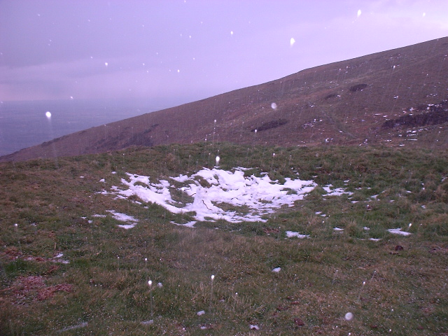
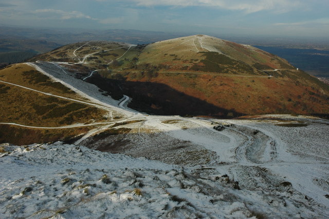
Images (click to view fullsize) |
|
|
Folklore |
|
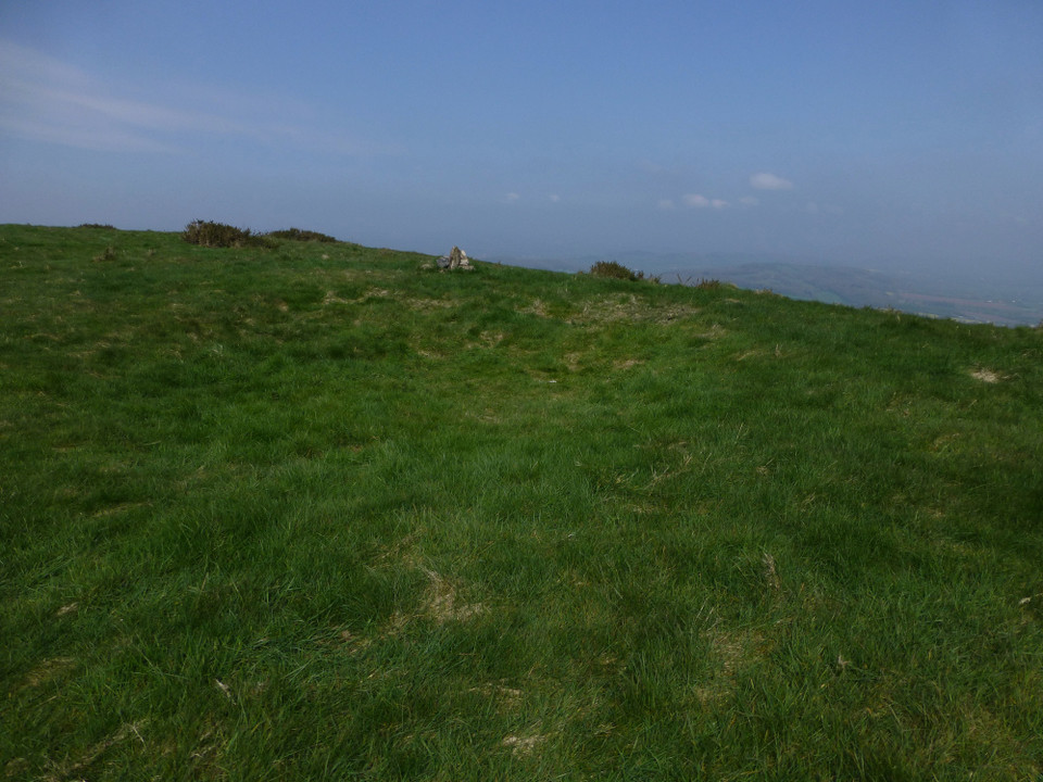
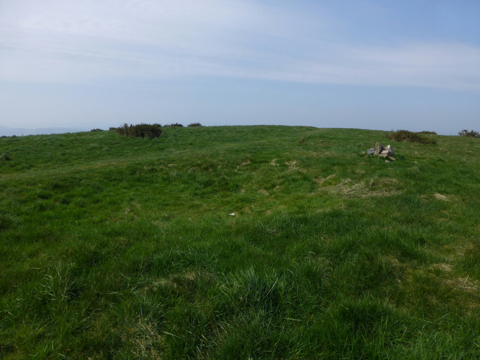
from A Description of Malvern and its Concomitants - Mary Southall (1882)Upon the summit of the North Hill, there appears an immense grave, part of which is entire. The narrow part appears to have fallen in. The old inhabitants of Malvern call it the Giant's Grave. It has a very peculiar appearance. By the side, is the form of a cross...Upon the Table Hill you will perceive the figure of a large table, whence the name is derived. In the centre is a cross, of the same size as that by the Giant's Grave, upon North Hill. |
Posted by Wyrdstan 19th July 2010ce Edited 19th July 2010ce |
|
In 'Early British Trackways, Moats, Mounds, Camps, and Sites' Alfred Watkins states that North Hill is the beginning of a ley line to Pen-y-Beacon via Mathon Church, Moat at Birchend, Stretton Grandison Church, Shucknell Hill, White Stone Chapel, Burcot Pool, Ten Houses Pond and Sugwas Park. Watkins also believed that the nearby St Ann's Well was the start of a ley line that passes along the ridge of the Malvern Hills through several wells including the Holy Well, Walms Well and St. Pewtress Well. |
Posted by Wyrdstan 18th July 2010ce Edited 28th July 2010ce |
Miscellaneous |
|
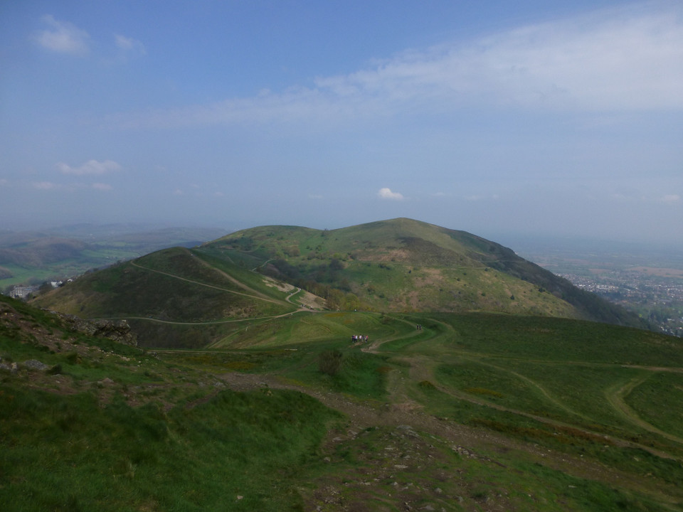
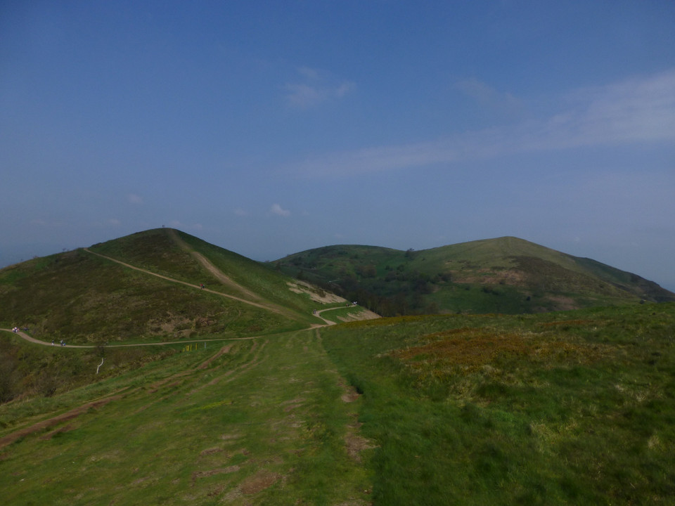
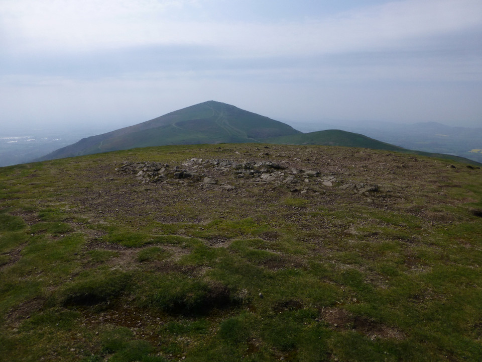
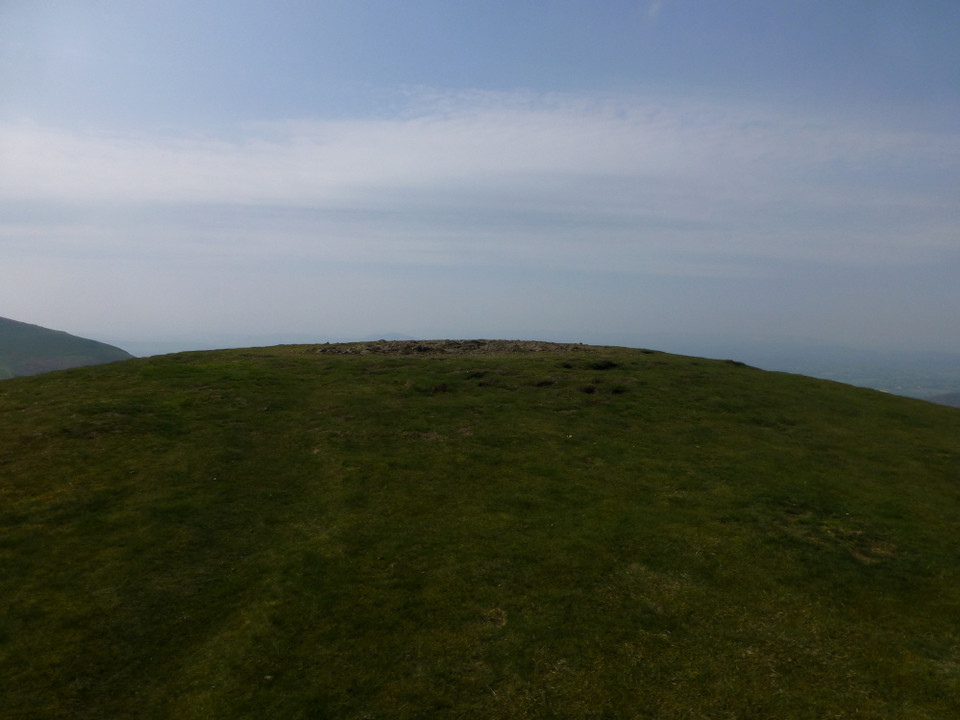
from Prehistoric Sites of the Malverns - By Liam Rogers Bronze Age Burials on the Northern Hills |
Posted by Wyrdstan 17th July 2010ce |
|
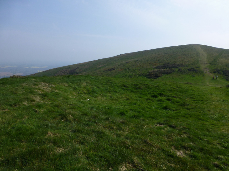
from http://en.wikipedia.org/wiki/North_Hill,_Malvern North Hill is a hill whose summit 397 m (1,303ft ) is the second highest point of the range of Malvern Hills that runs approximately 13 kilometres (8.1 miles) north-south along the Herefordshire-Worcestershire border, although North Hill lies entirely within Worcestershire. The eastern flank of the hill lies directly behind Worcester road in Great Malvern from where its summit is a brisk 15 – 20 minutes steep walk from the town centre via St Ann's road and Happy Valley. A path from the car park in North Malvern follows the lower contour of North Hill to Happy Valley and St Ann's Well. History Although the flint route from North Wales to Wessex lay to the north of Malvern, there is some evidence to suggest that traders passed over the Malvern Hills. Parts of an arrowhead, scraper and flint flakes have been discovered between the North Hill and Table Hill. An 19th Century guide book describes both a collapsed burial mound on North Hill named the Giant's Grave and a tump on Table Hill. These tumuli may have been connected to the Dobunni settlement in Mathon.[1] A track that runs along North Hill was known as the "Pyx Path" and was used by the priest from Worcestershire when bringing Sacrament to the hermits that lived in Malvern in the 11th Century. It was also referred to as the "Pixie Path", as it was believed to be used by faeires[2]. The Lodge spring can be found at the foot of North Hill, off Worcester road. The ornamental fountain has a small spout and basin that is similar in design to those at St Ann's Well.[3] References 1. Smith, B.S: 1978 A History of Malvern Allan Sutton and The Malvern Bookshop ISBN 0904387313 2. Severn Burrow, C.F: 1948, A little city set on the hill: the story of Malvern 3. Bruce Osborne & Cora Weaver: 1994, Aquae Malvernsis - The Springs and Fountains of the Malvern Hills ISBN 1873809077 |
Posted by Wyrdstan 17th July 2010ce Edited 17th July 2010ce |
Links |
|
Malvern Hills ConservatorsWalks on the Northern Malvern Hills. Download leaflet in pdf format. |
Posted by Wyrdstan 19th July 2010ce Edited 19th July 2010ce |
BBC Where I live - Hereford and WorcesterPanoramic view from North Hill. |
Posted by Wyrdstan 17th July 2010ce Edited 17th July 2010ce |