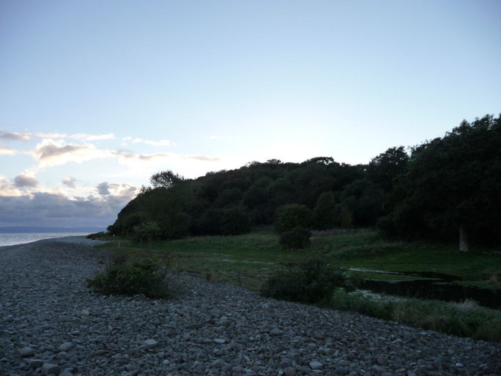
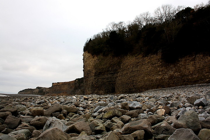
As Carl notes, the simplest manner to visit this overgrown, slumbering giant of an enclosure is via the caravan park immediately to the west. However - for me - the promontory / cliff forts which grace this Glamorgan coastline are far and away best approached from water's edge. So, particularly following on from a visit to the unique Sully Island, that is what I must do this Boxing Day afternoon. Romantic fool, that I am.
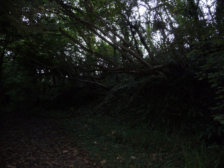
The initial approach in the car is not especially salubrious..... via the perimeter road to the east of Cardiff International Airport, near Rhoose. However, upon reaching the tiny settlement of Porthceri, the visitor is suddenly transported back to an era where gentlemen emerged, 'glistening', from lakes and ladies had heaving bosoms laced up in their undergarments. Oh, and the peasants did as they were bloody well told, no doubt. Or something like that. Anyway, there is room to park near the church - no cucumber sandwiches on offer, though - from where a public footpath leads down the left hand of private drives to descend, steeply and with much mud, through woodland to a golf course beneath an impressive viaduct. Advance to the foreshore - dodging any bloody golf balls - and follow the coastline around to the right until a little before the point where the cliffs of the promontory tower above; here a path ascends the wooded, lower slopes to the interior of The Bulwarks, following the line of the south-eastern defences in the latter stages.
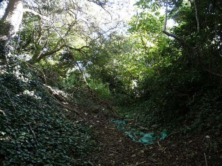
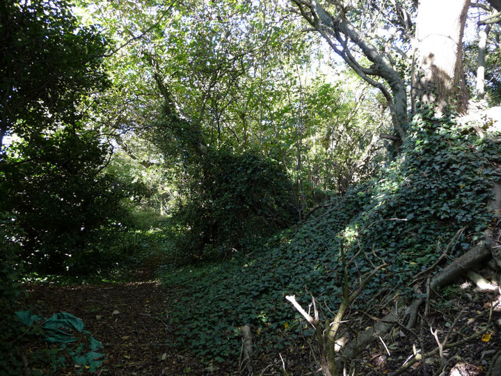
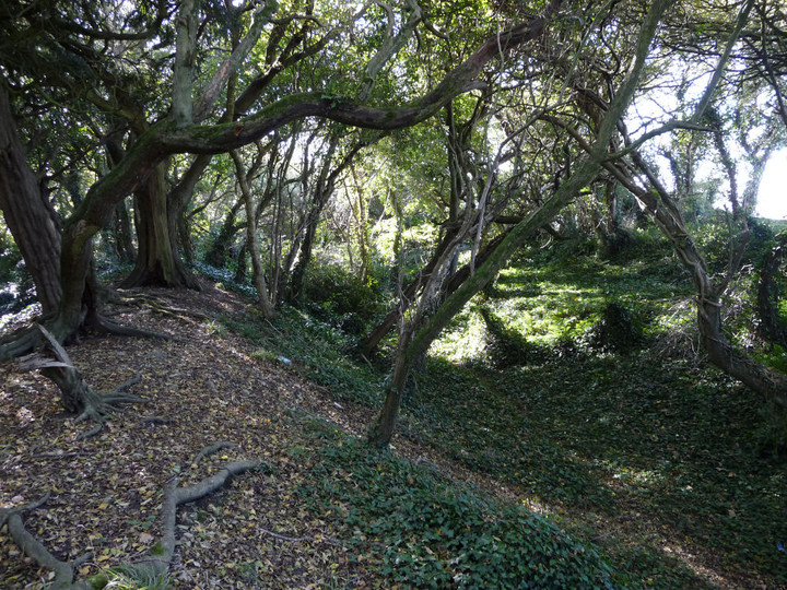
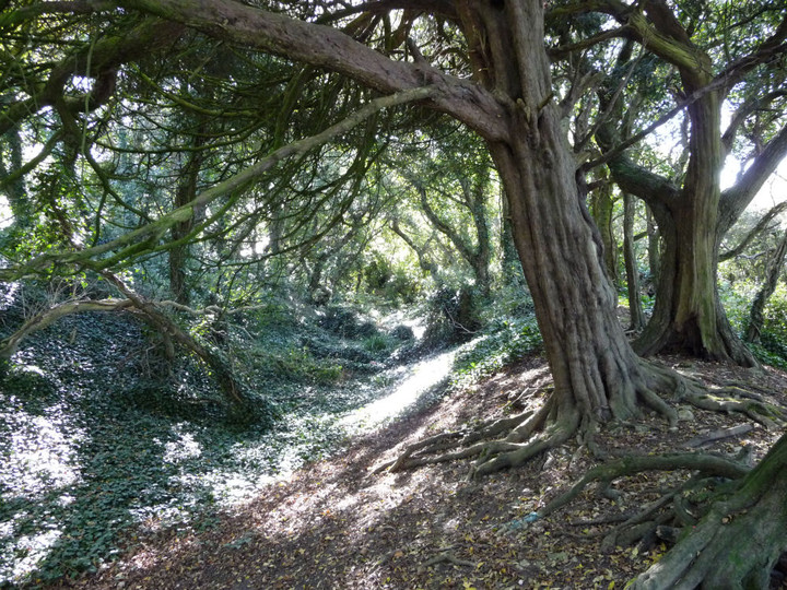
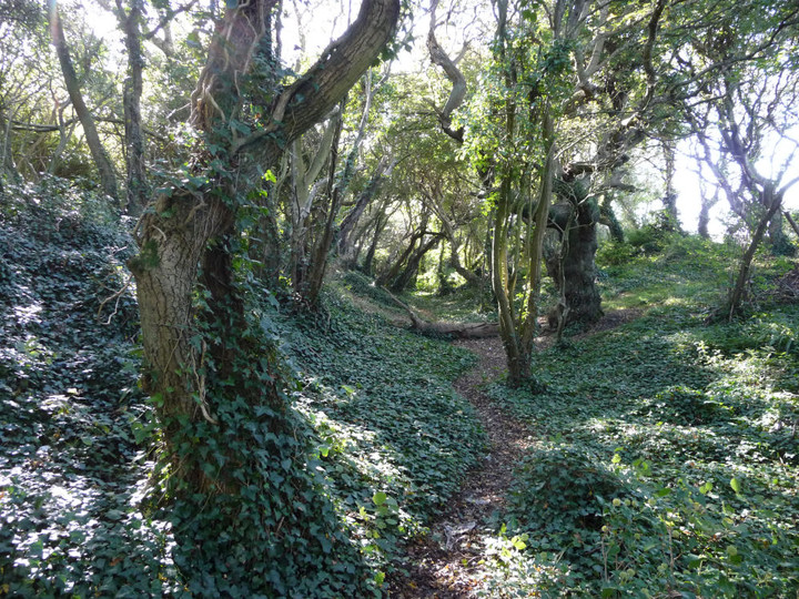
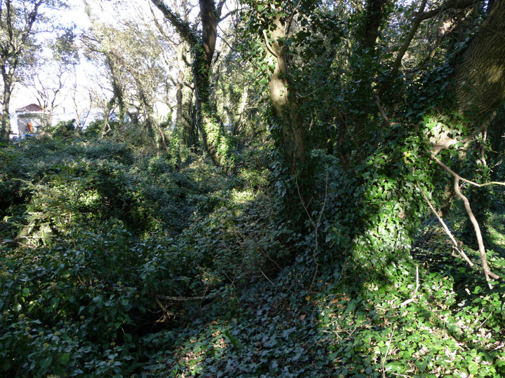
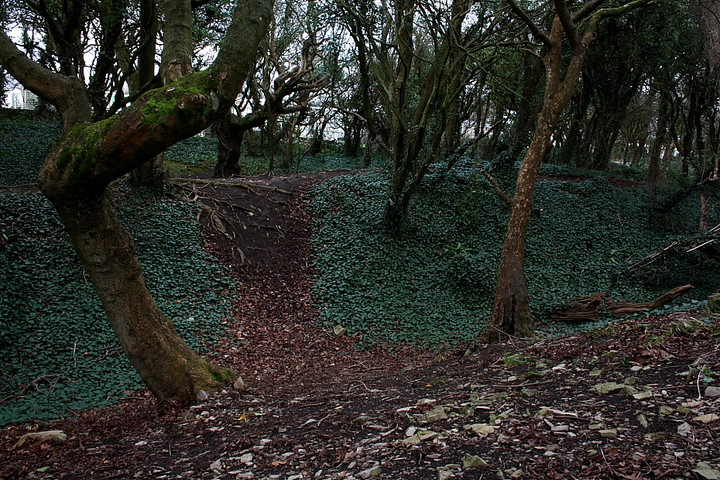
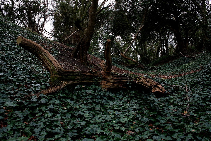
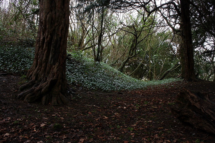
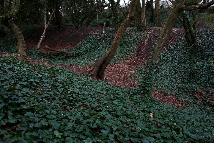
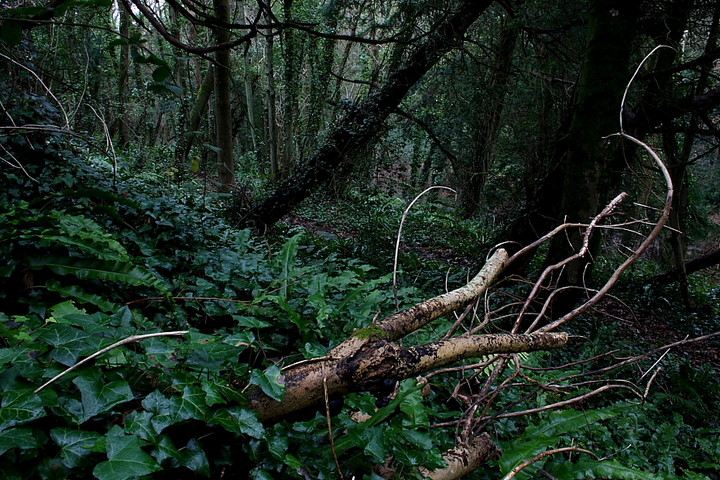
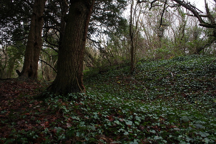
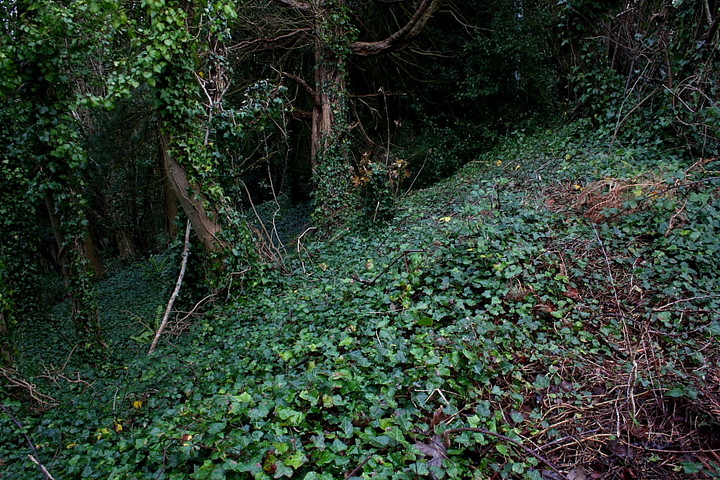
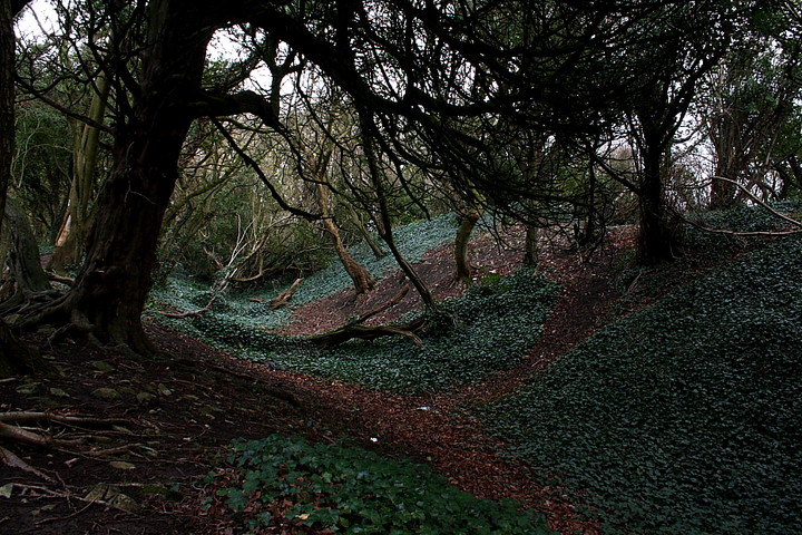
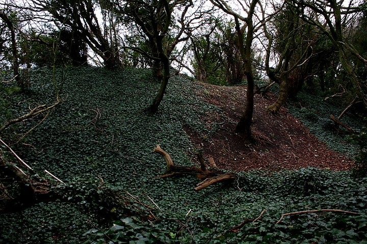
Upon arrival within the enclosure the immediate impression is that of 'so what?, an interpretation not countermanded by several electrical pylon-wotsits standing in the north-eastern corner. Don't be put off, though.... since the far treeline conceals some pretty substantial tri-vallate earthen banks. The most impressive of these are to the west, terminating at cliff-edge to the south and easily seen by following the footpath to the left towards the caravan park. The northern arc, although much more overgrown and thus less defined, is nonetheless still substantial. As is the eastern/south-eastern flank. Sadly, however, this last section has clearly been treated appallingly, not only having the aforementioned electrical pylons inserted - and being allowed to become completely overgrown - but also acting as a hang-out for local 'yoofs'.... consequently much litter is to be seen, a general feeling of 'who gives a damn?' hanging in the air. Yeah, there is a definite aura of melancholia in evidence here as I force my way through the gorse (and other such prickly, thorny stuff) in the gathering, drizzly gloom. Nevertheless the earthworks, despite such ill treatment, remain as mute testament to this coastline's rich ancient heritage. If only the locals could grasp what they have upon their cliff-top. If only. Speaking of 'cliff tops', that to the south obviously rendered any artificial defences there superfluous.
So, yeah, a visit to The Bulwarks will probably not need to be filed in the TMA 'classic' folder.... needless to say it's not in mine. But an approach from the seashore adds a touch of preceding drama to a viewing of some pretty substantial defences of what was once a major Iron Age site. Now, of course, The Bulwarks is engaged in a new battle for its very survival. The enemy is formidable.... that of apathy and ignorance
The easiest way to access this site is via Porthkerry Caravan Park. As you enter the caravan park follow the road through the site to your left. You will shortly see a gap between the caravans and a small metal sign which gives information about the Bulwark. Access is then along a short path through the trees into the grassed Bulwark. As you walk through the trees you can see the remains of the defences in the undergrowth. You can also access the site via the beach but this involes a steep walk up a very muddy path.
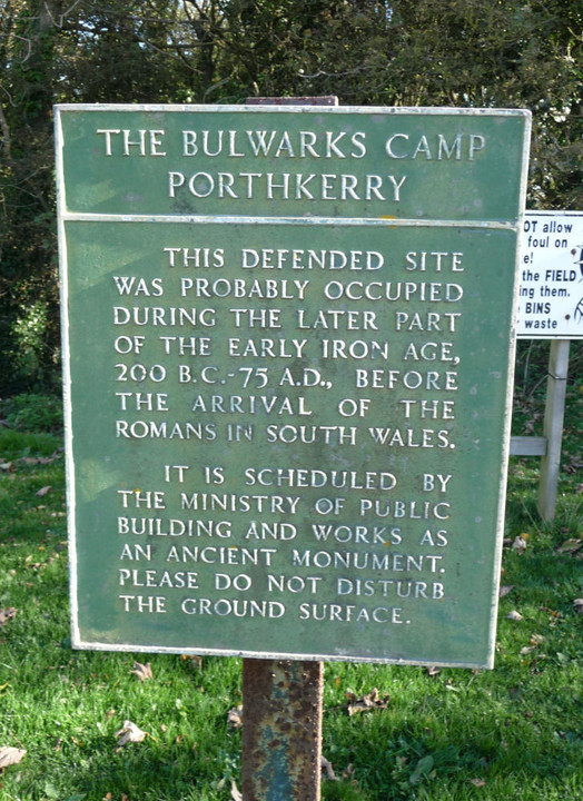
Coflein description of this Iron Age hillfort sited upon the coast - ar lan y Mor - beside Cardiff International Airport.... not in Cardiff, of course, but at Porthkerry, Rhoose:
'An enclosed trapezoidal area measuring 230m (N-S), 250m along N, tapering to 120m on S (4.1ha) is defended on the S by cliffs and elsewhere by three close-set banks and accompanying ditches well preserved on the W but reduced to terraces on the other three sides. Entrance on W side.
The camp occupies a blunt promontory, opening onto level ground to the west. Excavations behind the western ramparts, in 1968, identified a sequence of three rectangular buildings, occupied up to the late third or fourth century CE. Early twelfth century pottery occurred in the topsoil.'

 Posted by GLADMAN