|
|

|
|
Friar WaddonRound Barrow(s)
|
||||||||||||||||||||||||
|
|
|
Images (click to view fullsize) |
|
|
Fieldnotes |
|
|
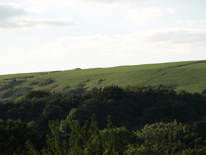
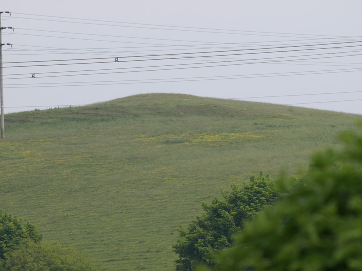
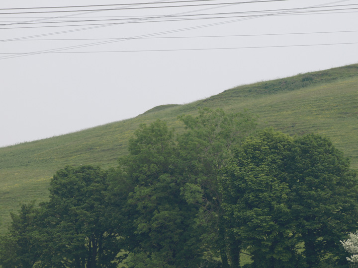
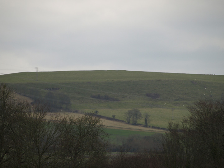
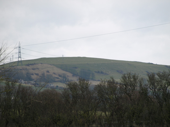
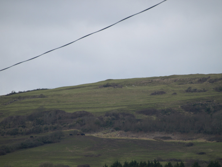
Magic / O.S. show six barrows in this group, this is the only one visible from this point, which is at the top of Goulds hill looking south. Waddon hill is south of the main Ridgeway and is between Upwey and Portisham. I have now returned a few days later, on the road south of Friar Waddon hill. Four more of the barrows are visible from the valley below. They are not easy to photograph as they are high up, I don't think there is easy access to these barrows as although I can see a footpath up to them, parking is very difficult on the narrow lanes. |
 Posted by formicaant
2nd February 2010ce Edited 8th February 2010ce |
Miscellaneous |
|
Eweleaze Barn, quadruple bell-barrow (SY/650871) 1 mile S of Winterborne St Martin, by track from B3159 SW to Friar Waddon.Guide to prehistoric England - Nicholas Thomas 1976 |
 Posted by Chance
11th January 2012ce |
Links |
|
Details of site on PastscapeA linear barrow cemetery comprising bowl barrows, a pond barrow, and a quadruple bell barrow. All but one of the 10 mounds noted by Grinsell and RCHME survive as earthworks, although several have suffered from plough damage. In addition, three further sites have been noted as cropmarks. 4 of the barrows were dug into by Harold St George Gray and CS Prideaux in 1903, while others also appear to have been subject to unrecorded antiquarian digging. All the barrows were previously recorded here (see description). However, all have now been recorded individually. See associated monument records for details of specific barrows. However, this record still contains additional sources and information relating to the barrow group as a whole. (Centred SY 648874) Tumuli [NR] (three times). (1) Ten barrows including a pound barrow ('F') and a quadruple bell barrow ('K'), form an irregular linear cemetery orientated roughly North West to South East on top of the second spur east of Shorn Hill. 'K' is unique in England. 'A', 'C', 'D' and 'F' were excavated by St George Gray and Prideaux in 1902. 'A', Ditched bowl (64658780). Diam 82 ft ht 12 ft. Excavated ditch was flat-bottomed, 10 1/2 ft wide and 3 1/2 ft deep, around original turf mound, 64 ft in diam, 9 ft high and capped with chalk. North-South section across centre revealed crouched male inhumation with handled Beaker Bowl in oblong chalk-cut grave, with three child inhumations and smaller jar nearby, all under flint cairn. South of these but still North of apparent centre, a ring of stones enclosed a cremation, fragments of incense cup and grooved copper dagger in wooden sheath (Wessex interment no 12). Many flint implements, cores, and flakes lay in and under mound. 'B' Bowl (64798770) 180 yds South East of 'A' Diam 41 ft, ht 3 ft Excavated in centre. 'C' Bowl (?) (64808757) 150 yds South of 'B'. Only slight mound remains. Diam 93 ft, ht 2 3/4 ft before excavation, which revealed two primary crouched male inhumations, one with fragments of food-vessel and infant's bones, and a secondary cremation in woven grass bag under collared urn resting on stone slab. Near centre, circular hole 1 3/4 ft in diam and 1 1/2 ft deep contained animal bones. Flint implements, cores and flakes and a shale disc were in mound. 'D' Bowl (?) (64778746) 120 yds South South West of 'C'. Only slight mound remains. Crouched (male ?) inhumation in chalk-cut grave lay under flint cairn including burnt and unburnt human bones, potsherds and flint flakes and a scraper. 'E' Bowl (?) (64688743) on West Slope 100 yds West South West of 'D'. Small, ploughed almost flat. 'F' Pond barrow (?) (64738738) 100 yds South South West of 'D'. Flint-paved, surrounded by bank 76 ft in diam and 4 ft high above centre of hollow. 'G' Bowl (?) (64838639) 100 yds East of 'F'. Diam 140 ft, ht 6 ft Ploughed. 'H' Bowl (?) (64868728) 130 yds South South East of 'G' Diam 45 ft, ht 3 ft.Ploughed. 'J' Bowl (64958721) 100 yds South East of 'H' Diam 115 ft, ht 15 ft. Excavation trench across centre. Fir-covered. 'K' Quadruple bell (65008714) 50 yds South East of 'J'. Four adjacent mounds, hts 7 ft to 8 ft and diams North-South 84 ft 67 ft, 62 ft and 67 ft, along axis of spur in North West to South East line, surrounded by ditch 15 ft wide and 1 ft deep. Overall length of mounds 280 ft. North mound slightly West of alignment of others and damaged by excavation. Ploughing has destroyed berm. (2,3) 'A'. SY 64648780. Bowl barrow in arable, not ploughed, with a ditch on the south side only. Diameter of mound 27.5m., height 3.0m., with a flat top 7.5m. diameter. Ditch 6.0m. wide and 0.2m. deep. 'B'. SY 64788770. Bowl barrow, in arable, which has been ploughed over. Diameter 20.0m., height 1.0m. Is truncated by 4.0m. on the east side. No visible ditch. 'C' SY 64808757. Bowl barrow, ploughed almost flat. Diameter 16.0m. approximately, height 0.3m. No visible ditch. 'D'. SY 64768746. Bowl barrow in arable, visible as a slight swelling with concentration of stones. Diameter 12.0m. approximately, height 0.2m. No visible ditch. 'E'. No trace remains. 'F'. SY 64748738. Pond barrow in arable, with bank on western half of the perimeter only. Overall diameter 32.0m., depth 1.3m., with 4.0m. wide bank where existing. A good example. 'G'. SY 64838639. Bowl barrow under grass in ploughed field. Diameter 40.0m., height 3.0m. No visible ditch. 'H'. SY 64868727. Bowl barrow under grass in arable field - has been ploughed down. Diameter 26.0m., height 1.0m. No visible ditch. 'J'. SY 64948720. Tree-covered bowl barrow in small copse. Diameter 37.0m., height 4.4m. No visible ditch. 'K' SY 64998713. Quadruple barrow. Four mounds surrounded by common ditch. Their diameters are, from north to south, 28.0m., 25.0m., 25.0m., and 27.0m., and their heights 2.5m. 2.0m., 1.8m., and 2.0m., respectively. The ditch is approximately 4.0m. wide and 0.2m. deep, and is not visible at the southern extremity of the barrow. There are vague traces of an outer bank beyond the ditch on the west side of the complex. Re-surveyed at 1:2500 on M.S.D. (SY64828728; 64828720; 64818712) The cropmarks of three probable barrows on Crawford air photograph, could not be traced in arable field. (4) Aerial photograph of the "quadruple bell" barrow. (5) SOURCE TEXT (1) Ordnance Survey Map (Scale / Date) OS 6" 1963 (2) Royal Commission on Historical Monuments (England) 1970 An inventory of historical monuments in the County of Dorset. Volume two : south-east [in three parts] Page(s)469 (2a) Proceedings of the Dorset Natural History and Antiquarian Field Club Gray, H St George, and CS Prideaux. Barrow Digging at Martinstown, near Dorchester, 1903. 26, 1905 Page(s)6-39 (2b) by L V Grinsell 1953 The ancient burial-mounds of England (3) by L V Grinsell 1959 Dorset barrows Page(s)153-4, 167, 173 (4) Field Investigators Comments F1 JGB 06-MAY-80 (4c) Aerial photograph AP (Crawford Collection No. 1633) (5) Aerial archaeology : the journal for air photography and archaeology 10, 1984 Page(s)56 |
Posted by Chance 11th January 2012ce |