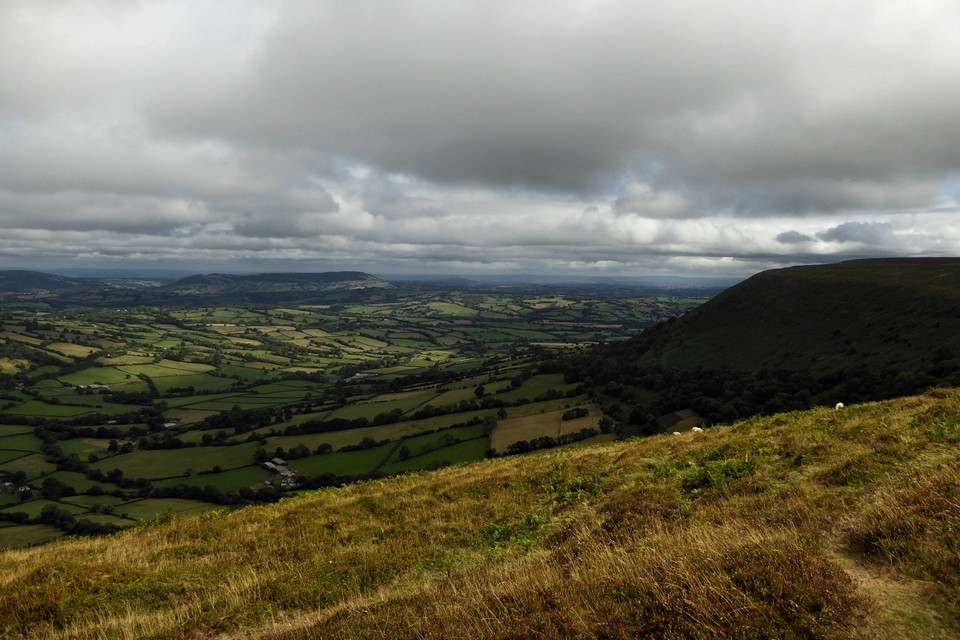
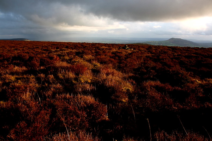
Of the four main ridges of The Black Mountains, rising from the fertile Usk valley in the south to terminate at the great northern escarpment in the... er .... north, the eastern-most is probably the most frequented nowadays. Whether this is the inevitable by product of said ridge rising between the wondrous Vale of Ewyas and the contrasting, yet superb Herefordshire plains, or the fact that it represents the Welsh/English border at this point, thus carrying the long distance Offa's Dyke path, is perhaps a moot point. For what it's worth, I reckon the latter, the myriad 'heads down' walkers striding along the central path surely unable to ascertain anything more than a perfunctory sense of 'place'. To achieve this the visitor, in my opinion, must 'leave the beaten track' in the most literal sense and head to the flanks.
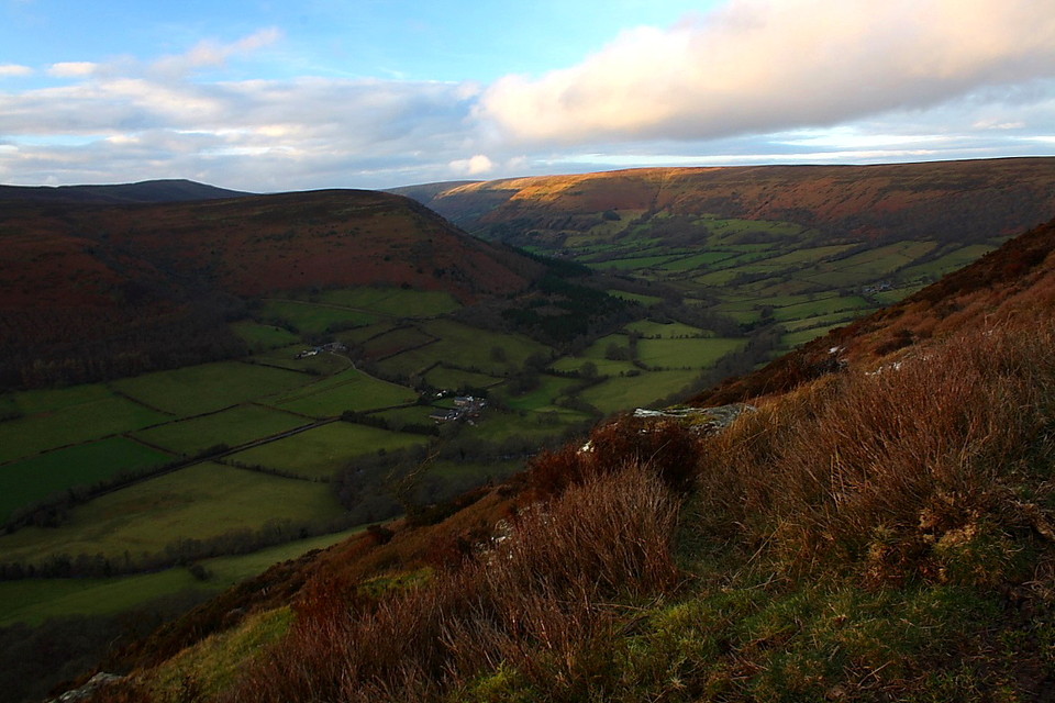
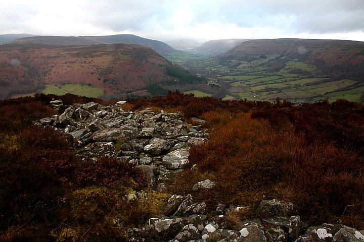
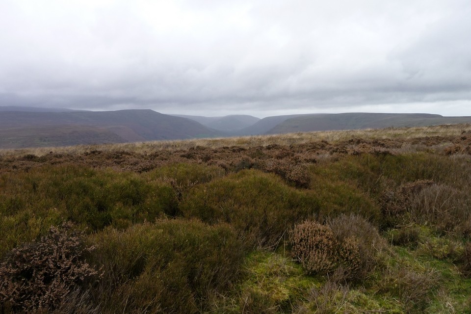
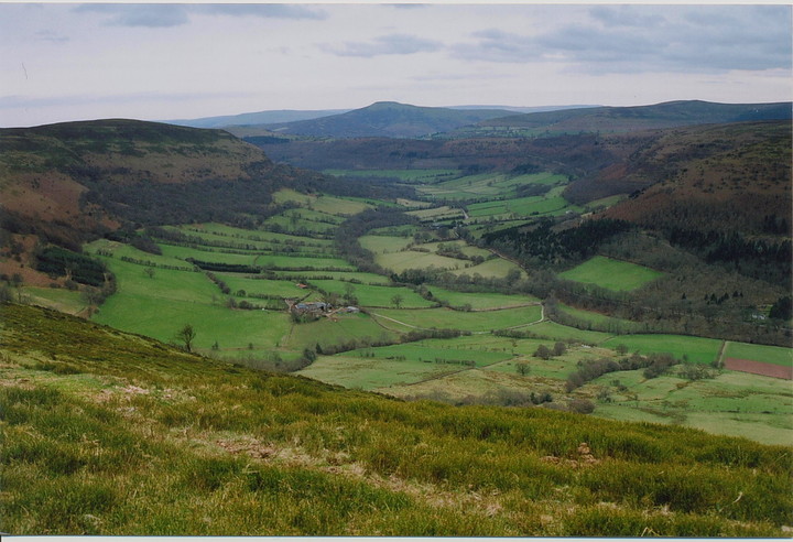
Hatterrall Hill occupies the southern section of this high borderland, the landscape inexorably falling further away from the 2,000ft contour during the approach toward Abergavenny... only to rise up dramatically in the form of Mynydd Pen-y-fal just before the town. But that's another story. Here Cwm Iau forces the ridge to divide, the Offa's Dyke path continuing to the south. Venture to the south-west, however, and two obscure archaeological treasures await discovery. Or at least they would have if the Mam C and I had not lost ourselves - figuratively speaking, of course - in the environs of Black Darren last Easter, before being ushered from the mountain by a violent electrical storm. We therefore return today from the opposite direction, starting at the idyllic village of Cwmyoy. Parking is somewhat difficult here unless you know what you're doing. Needless to say... I don't... until informed by a passing local - within a worryingly large mechanical digger - that I'd be better off in a good spot just above (north) of the seriously wonky church. I take the, ahem, hint. Happy to oblige. From here a public footpath heads north, veering to the right beneath a towering crag, before resuming its course towards the farmhouse of Ty-Charles. Just beyond this isolated habitation turn left, then right - between parallel drystone walls - to ascend steeply to the crest of Hatterrall Hill rising above.
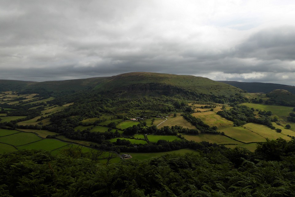
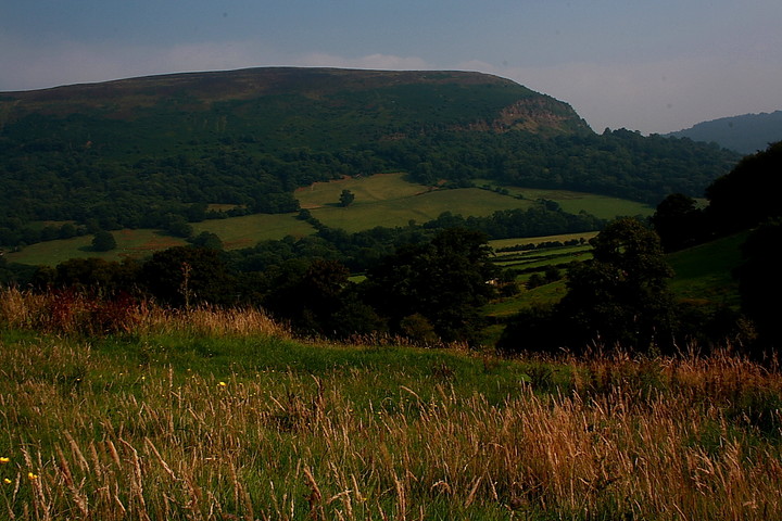
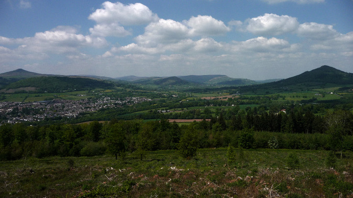
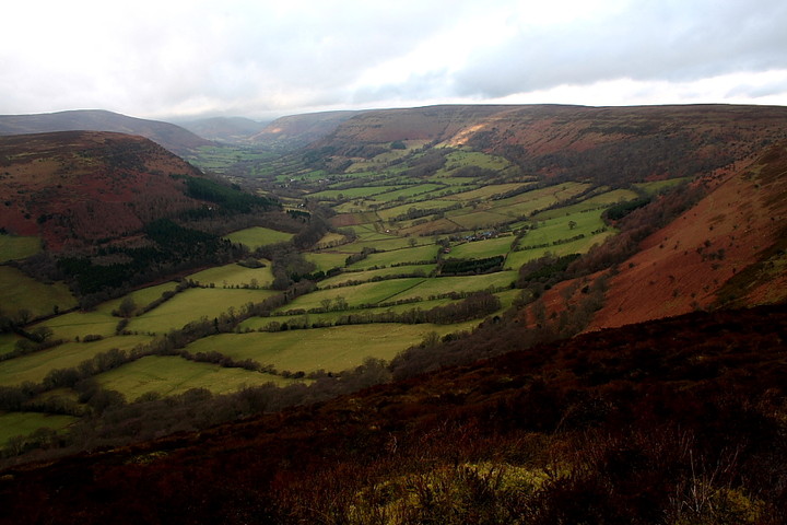
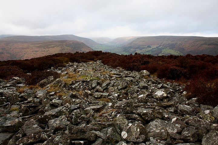
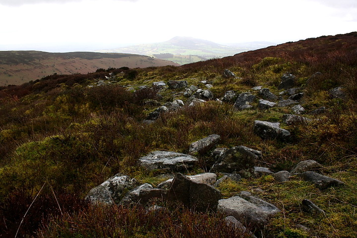
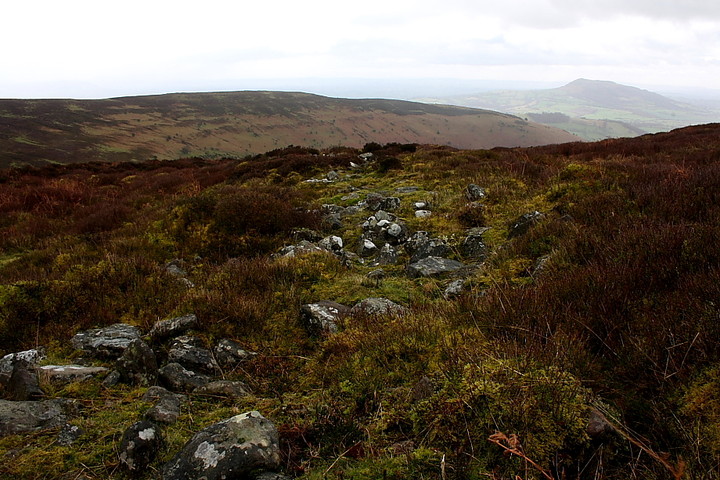
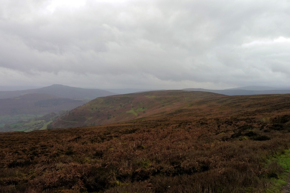
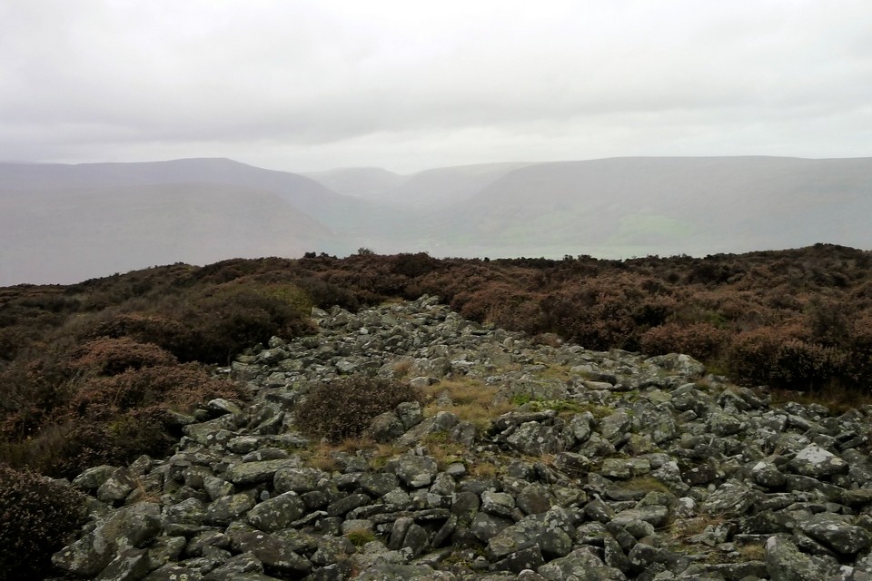
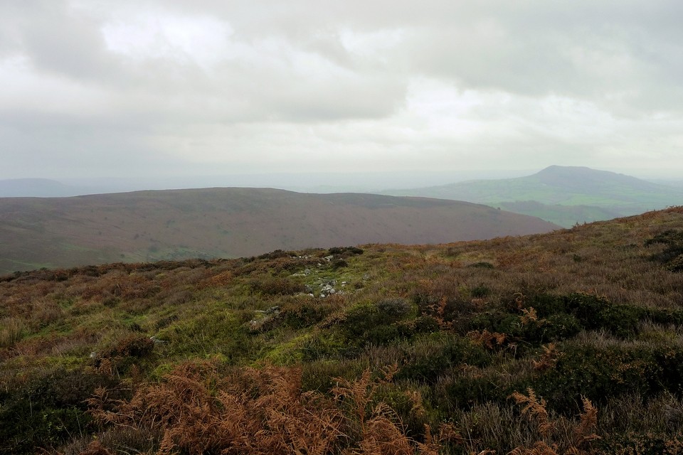
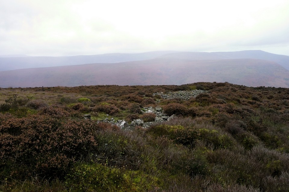
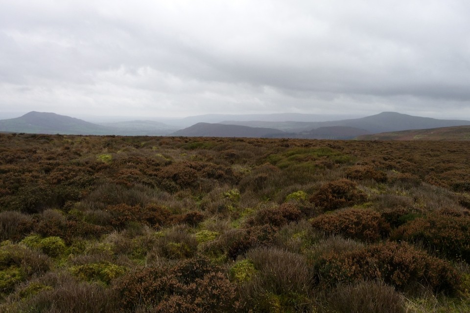
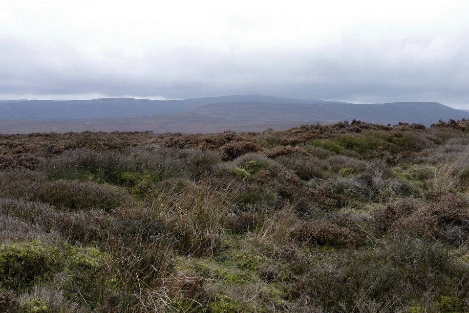
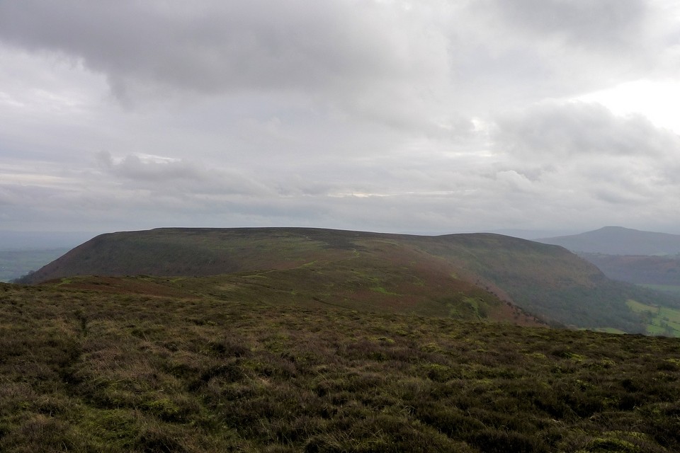
The retrospective views, these being The Black Mountains after all, are superb. But then you probably guessed that. It will probably also come as no surprise that the promontory fort's single line of defence isolates the site from the northern hinterland at the narrowest point of the ridge. Not daft, these people. This ensures that the enclosure is by far the largest we've yet encountered, the cross dyke quite a while a'coming. It is worth the wait, a great drystone mass of masonry which, although collapsed, remains impressive in its brute strength, despite all Mother Wales has seen fit to throw at it for a couple of millennia. Which is no doubt 'quite a lot'. To emphasise the point the weather deteriorates to rain, although thankfully the cloud base remains high, allowing us to enjoy the truly magnificent positionning of the fort. Yeah, the north-western terminus of the cross-wall possesses arguably the finest view of the Vale of Ewyas extant, a perfect spot for lunch. That to be had from the south-eastern opposite is not exactly lacking, either, the hillfort-cum-sacred hill Ysgyryd Fawr dominating the skyline with a finality far in excess of its modest elevation. This is the point where words become futile, to experience the moment everything.
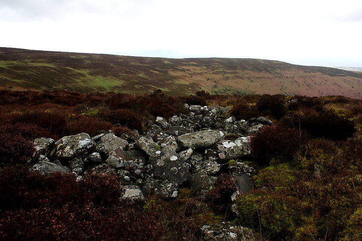
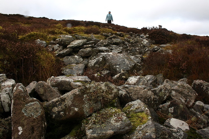
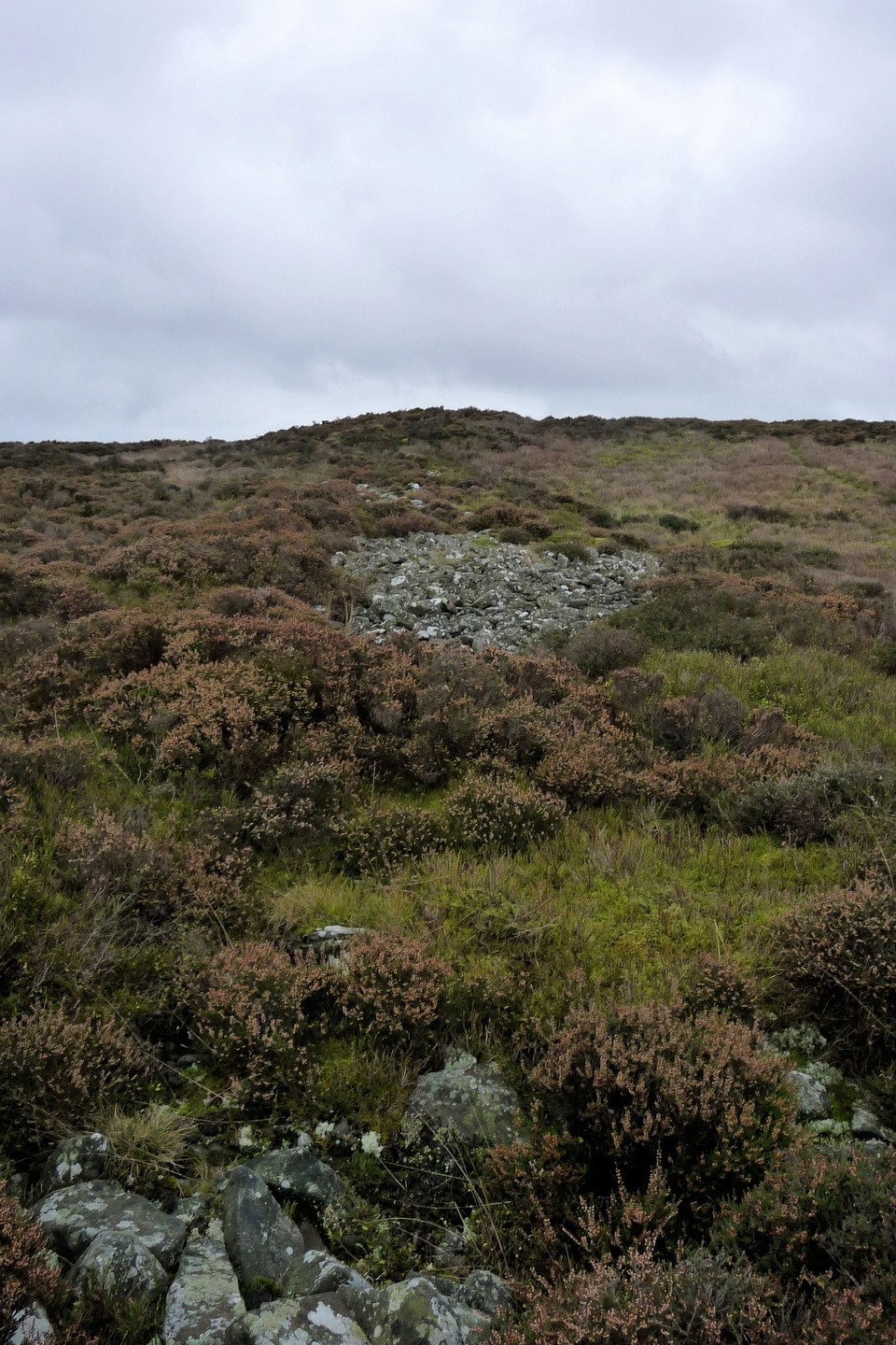
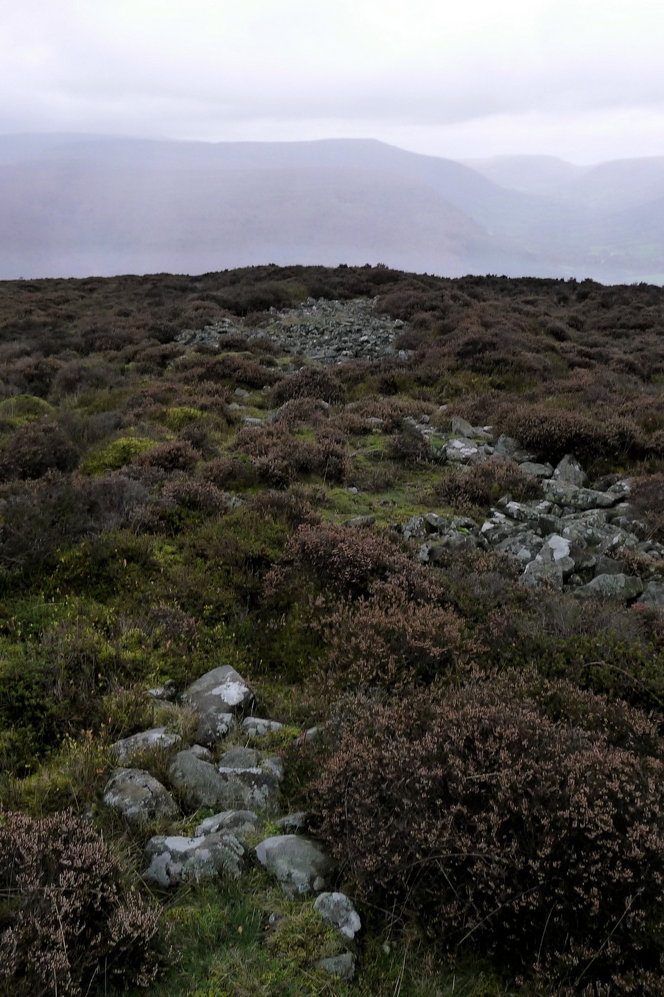
The obscure, severely overgrown Garreg Las enclosure lies beyond grouse butts to the north. The latter represent tawrdy monuments to the ridiculous actions of ridiculous people. The former, however..... Coflein cites the enclosure as defensive in nature. The Mam C and I are in agreement... that we are not so sure. There is an aura here which suggests otherwise. Just a feeling in the wind and rain, you know?
Coflein has the following information relating to the two associated monuments at the southern end of Hatterrall Hill:
1) GARREG LAS, ENCLOSURE:
'A sub-circular enclosure upon the summit of Hatterrall Hill, c.50m in diameter, defined by a stone wall, c.5.0m wide and having an entrance to the E, obscured by a recent cairn' [another blasted walker's cairn! - Gladman]. 'Has been associated with the cross-ridge wall, c.600m to the SW, both being of a similar build.'
2) HATTERRALL HILL, CROSS RIDGE WALL -
SO30332511:
'The remains of a "massive dry-stone wall", 166m long and 6.0-8.0m wide, with no trace of an accompanying ditch, set astride a high steep sided ridge'.


 Posted by GLADMAN