Access: When we were there it was in deep crop (see photo under 'maps etc') & we drove straight past. As you reach the area of the dolmen, at a t-junction at the top of a hill look out for this 'telegraph pole' with signs on.
The dolmen is along a path starting a few yards to the left of the (French-style) telegraph pole. You can just make it out in the photo - near the back of the car. (We interpreted the signs as meaning drive along the road to the left & spent ages looking for the dolmen in the wrong place!)
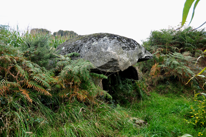
The path was narrow & a little rough with the maize encroaching, but would otherwise probably be pretty easy.
Wednesday 30 September 2009
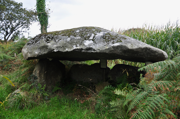
A nice simple but quite large dolmen. A bit underwhelming when we were there as it was claustrophobically enclosed in high maize crop, and the weather was unpleasant.
Without the crop and with some kind of setting visible, I suspect it would be far more impressive.
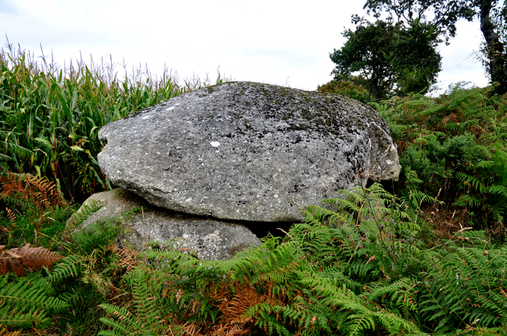
There is also a stele somewhere nearby. I think it's in the same field but the photo I've seen makes it look pretty unimpressive & the chances of finding it in the maize seemed slim!

 Maps / Plans / Diagrams:
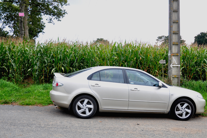
 Posted by Jane