The Modern Antiquarian. Stone Circles, Ancient Sites, Neolithic Monuments, Ancient Monuments, Prehistoric Sites, Megalithic MysteriesThe Modern Antiquarian


Haragårdens gånggrift

Passage Grave

<b>Haragårdens gånggrift</b>Posted by L-M KImage © L-M K
Latitude:58° 9' 24.06" N
Longitude:   13° 38' 19.59" E

Added by L-M K


Discussion Topics0 discussions
Start a topic


Show  |  Hide
Web searches for Haragårdens gånggrift
Show map   (inline Google Map)

Images (click to view fullsize)

Add an image Add an image
<b>Haragårdens gånggrift</b>Posted by L-M K <b>Haragårdens gånggrift</b>Posted by L-M K <b>Haragårdens gånggrift</b>Posted by L-M K <b>Haragårdens gånggrift</b>Posted by L-M K <b>Haragårdens gånggrift</b>Posted by L-M K

Fieldnotes

Add fieldnotes Add fieldnotes
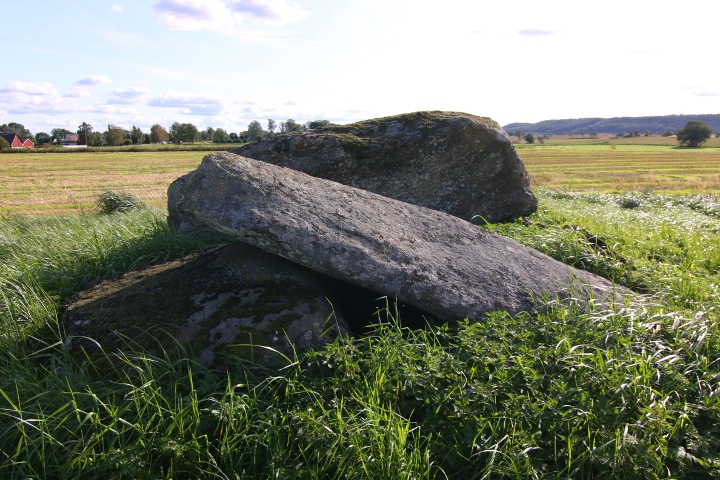
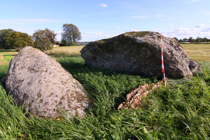
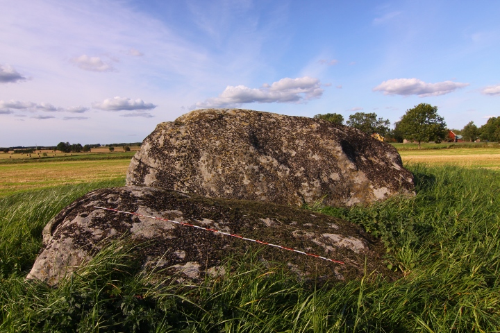
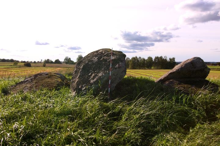
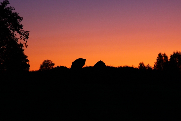
This passage grave lies on a mound, which is about 20 x 19 metres and 1.6 metres high.
The chamber is a rectangle, 9 x 2.6 metres.

this passage grave, together with Klövagårdens gånggrift ,Ragnvalds grav and Logårds kulle is north of the road, while the farms is on the south. It has been accepted that this configuration has been the sami since the stone age, which makes the road Sweden's oldest that is still in use.

How to get there:
From the city of Falköping, take road 47 southeast for 4.3 kilometres, then turn left at the blue sign "Karleby".
Drive for 1.5 kilometres and there is a parking spot on your left.
Walk northwards, pass Logärds kulle, and the next passage grave is the site.
Posted by L-M K
22nd September 2009ce