|
|

|
|
Picws Du, Y Mynydd DuRound Cairn
|
|
|
|
Images (click to view fullsize) |
|

|
Fieldnotes |
|
|
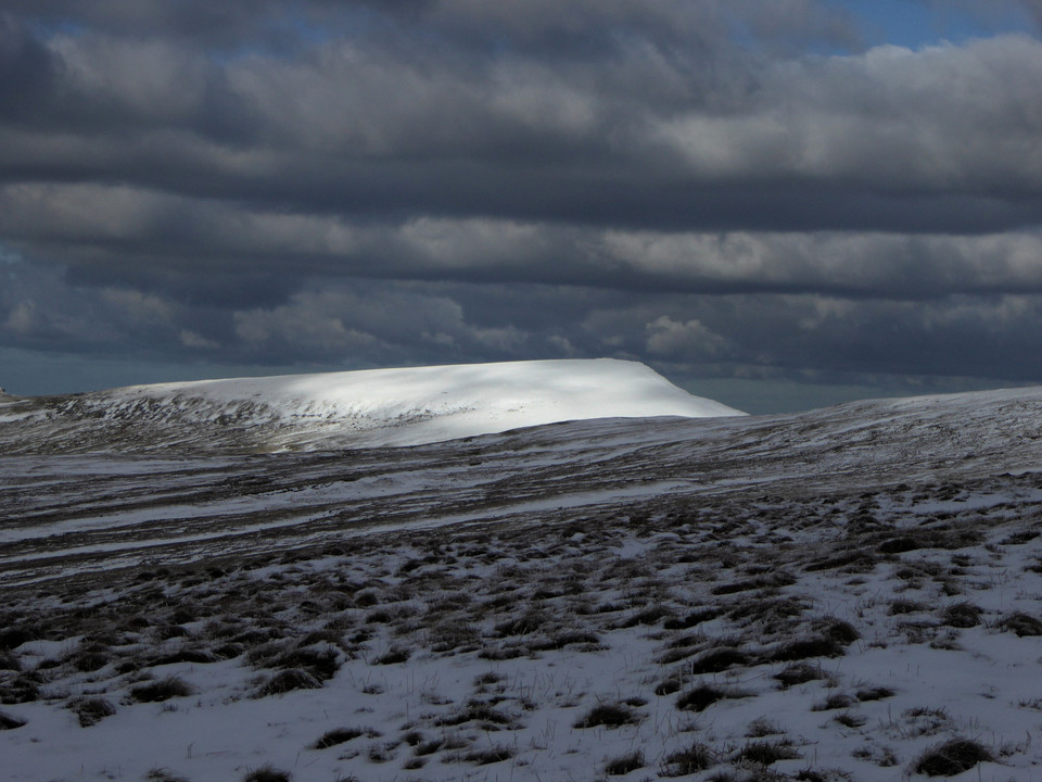
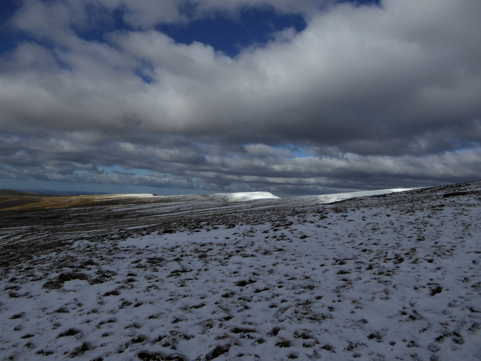
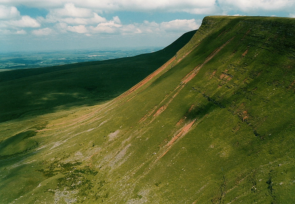
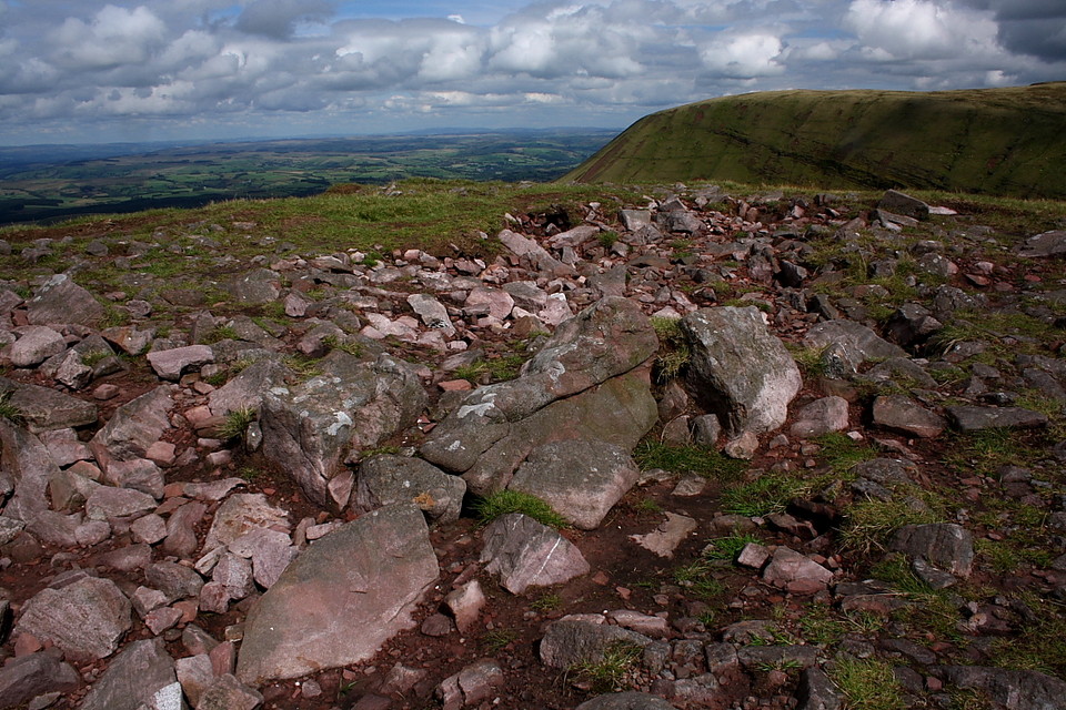
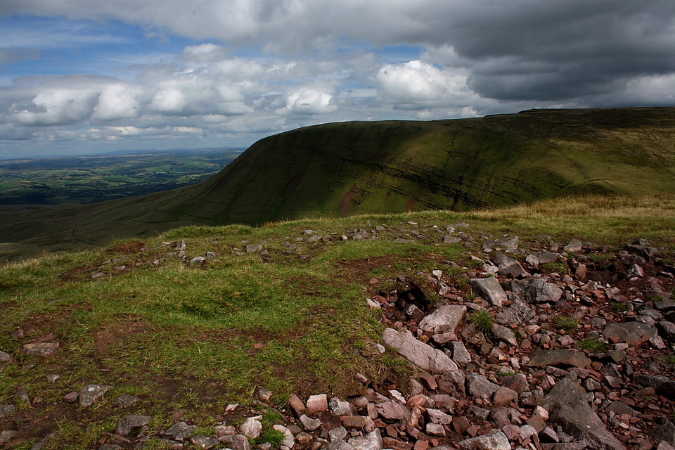
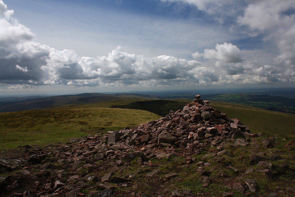
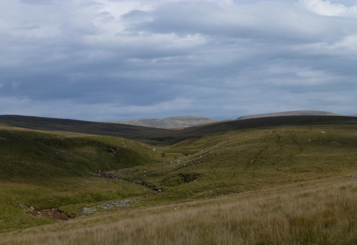
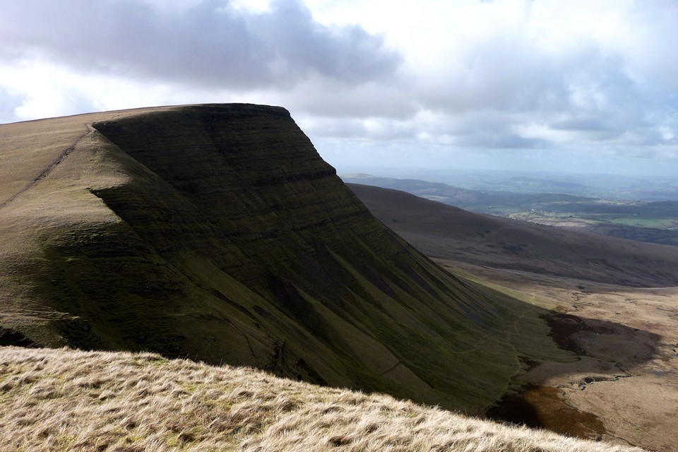
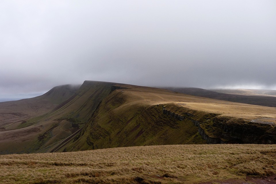
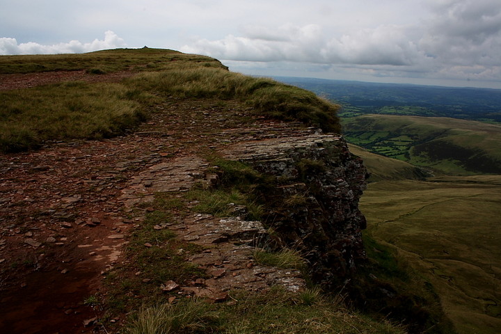
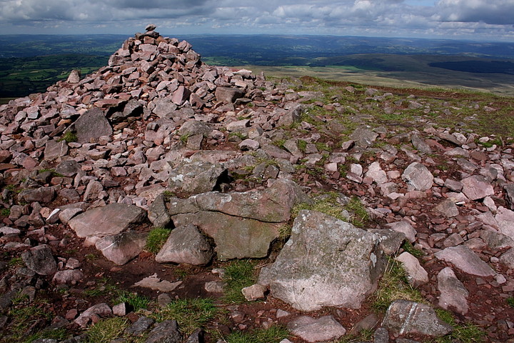
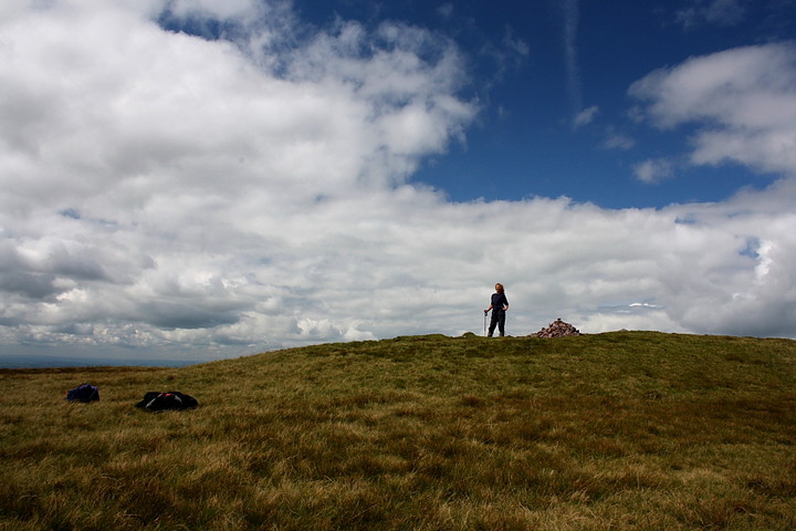
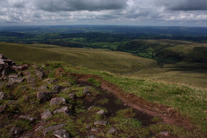
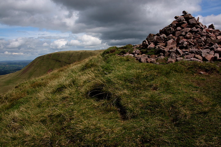
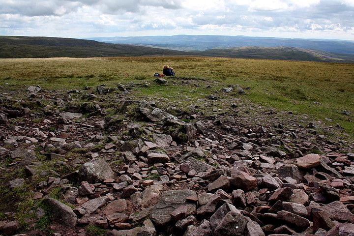
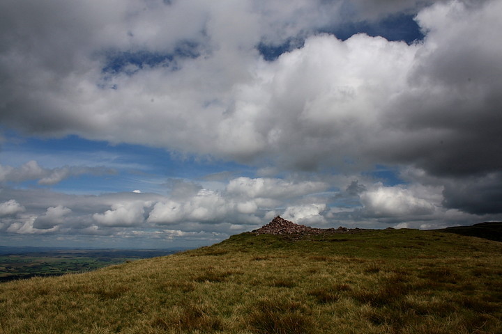
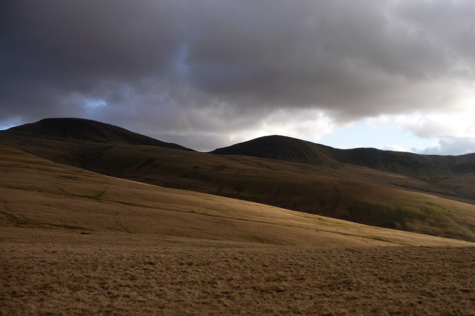
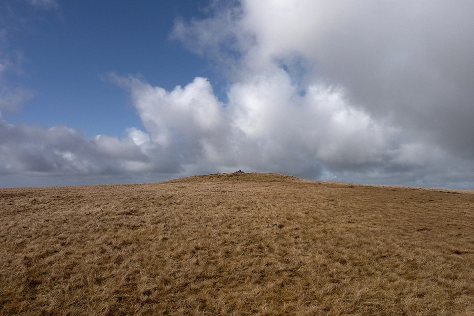
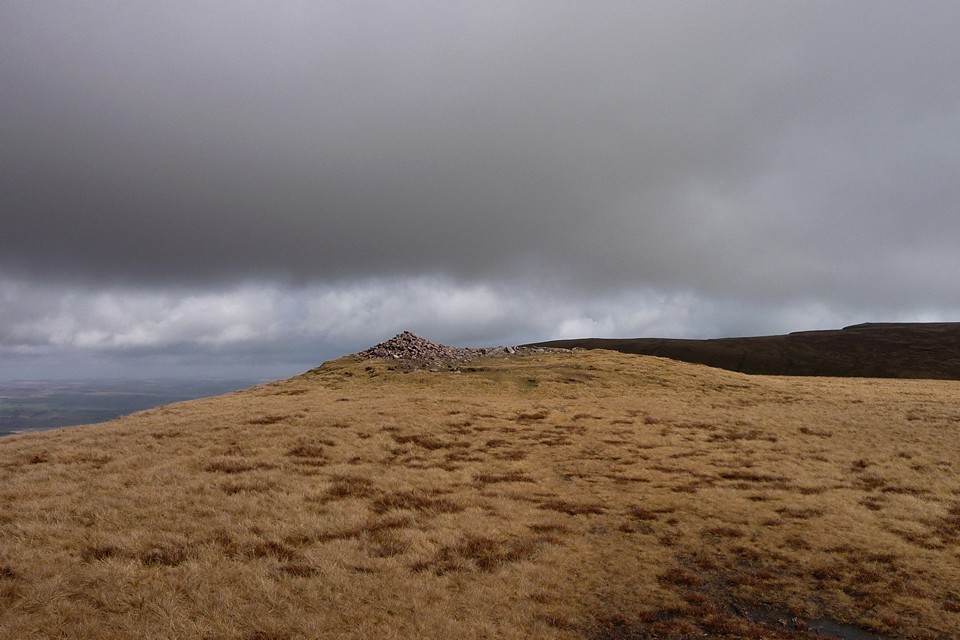
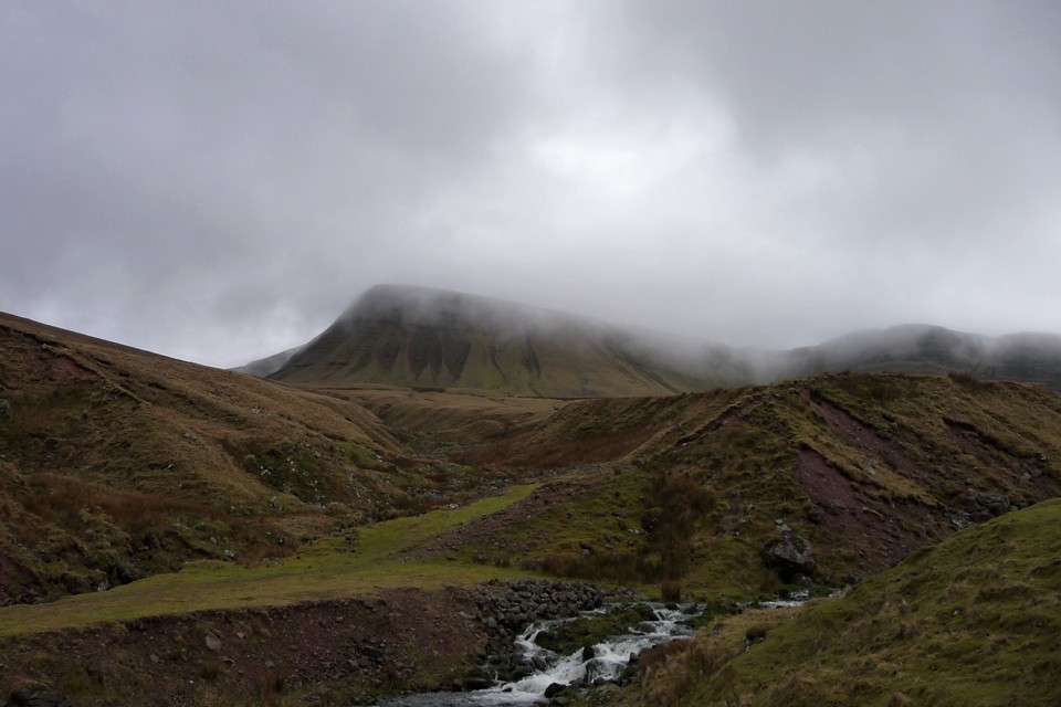
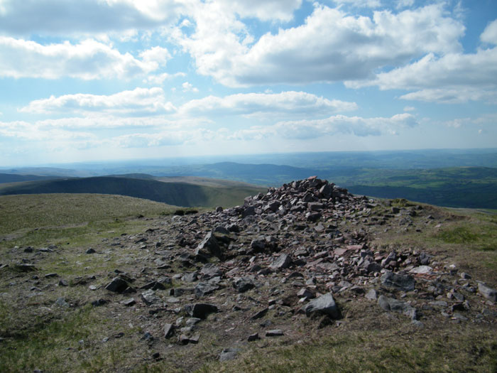
As the Picws Du summit cairn comes into view, it becomes apparent that it has a very decent sized footprint, but is now quite low, with a smaller walkers’ cairn plonked on the top, possibly/probably made from stones from the original monument. There are some pretty big blocks in the original though and the footprint suggests it would have been a big cairn. In any case, the setting more than compensates for any deficiencies in the cairn itself. The views north over the escarpment edge are awe-inspiring, even on a day of fairly short visibility like today. And as we stop to take it all in, the mist lifts properly and blue skies open above us. Ah, what a wonderful world. And what a place to be interred. Incidentally, the name is obscure – the Nuttalls translate it as “Black Peak”, but I’ve not managed to find a translation for “picws” in any Welsh dictionary yet, so I’m not sure of this. Any ideas? This post appears as part of the weblog entry Lakeshore and dark peak – Carmarthen Fan 26 February 2011
|
 Posted by thesweetcheat
27th August 2013ce Edited 27th August 2013ce |
|
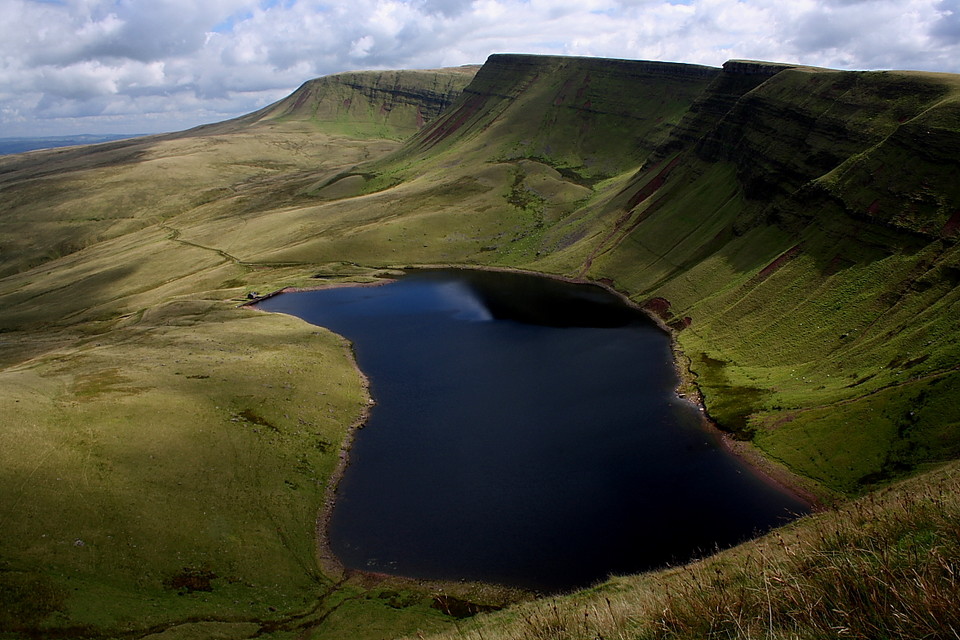
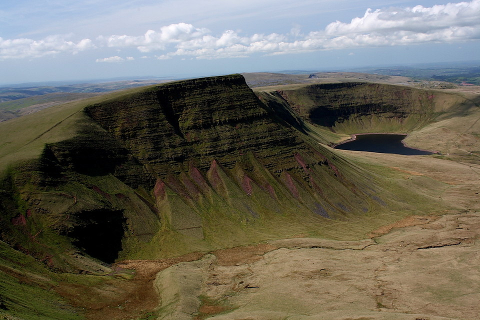
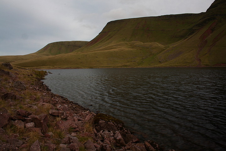
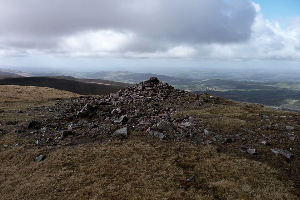
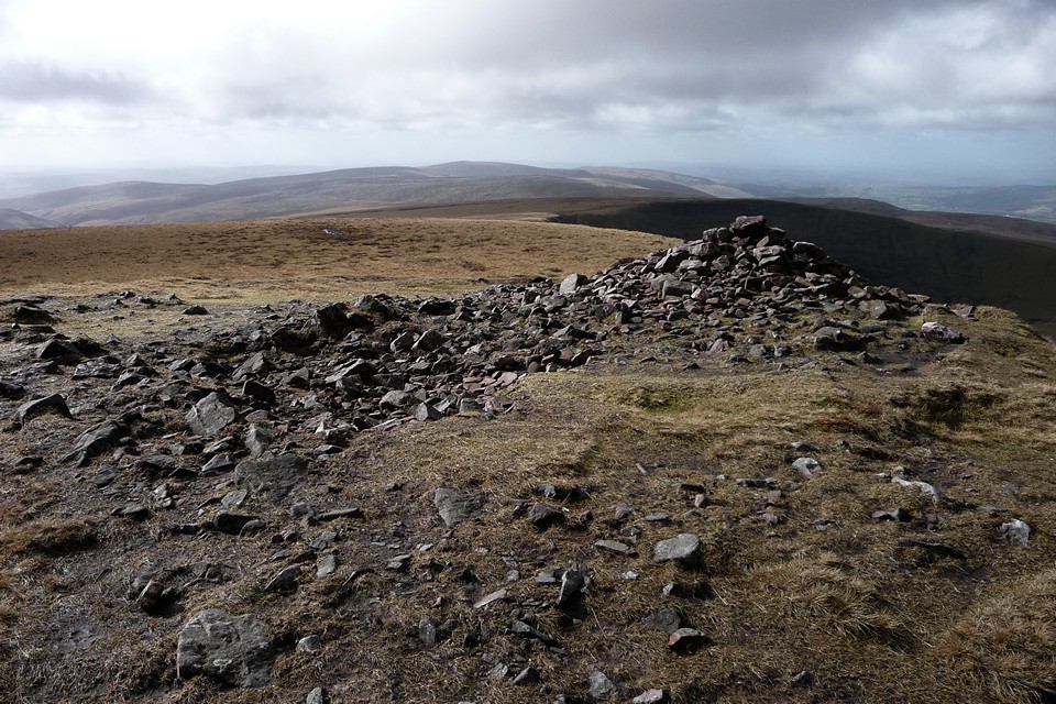
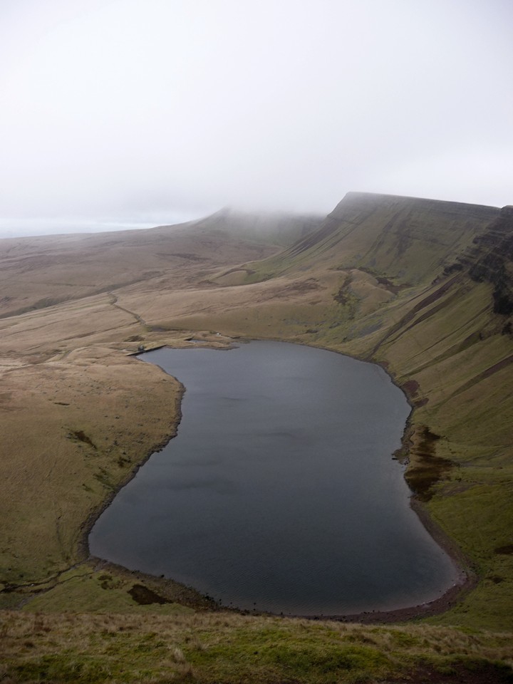
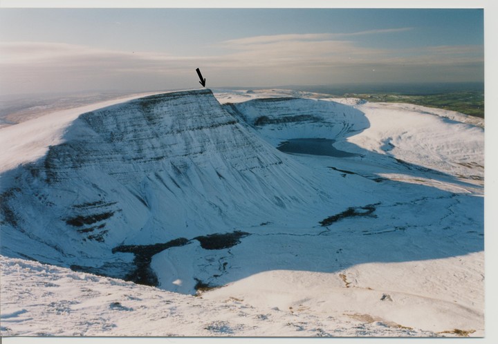
Set at an altitude of c2,460ft and crowning the majestic cliff line of Bannau Sir Gaer - which tower above the dark waters of Llyn y Fan Fach - lie the scant remnants of a round barrow which, in all probability, was the last resting place of a Bronze Age chieftain. As is often the case, the magnificent location, the sheer 'sense of place' of the site, is out of all proportion to the physical remains of the monument. Why, even the modern walker's cairn which surmounts the barrow is a pretty feeble attempt for a major summit such as this. Then again perhaps this is to miss the point… perhaps only a relatively minor structure was deemed necessary because of the location, which in itself said all that was needed about the power and importance of the individual interred. Perhaps. To get to the technical bit, Coflein states that the cairn is "..circular, measuring 19.5m in diameter and 1.0m high. It has been disturbed and has a hummocky appearance, with a small modern cairn set upon it. The cairn is composed of mainly small stones, generally turf covered. At the centre can be seen the edge of an apparently upright slab, broken in three, with a total length of 1.3m and orientated roughly east-west. This is perhaps the vestiges of a cist. This is probably a prehistoric funerary monument and can be compared to the excavated example on Fan Foel to the east." The most notable aspect of the Picws Du burial site is the frankly awesome view of the aforementioned Llyn y Fan Fach, sometimes referred to locally as the 'Fairy Lake' because of long standing associations with the Tylwyth Teg [the 'fair folk', hence 'fairies']. The lake is overflowing (sorry) with folklore and legend, the most famous being that of the 'Lady of the Lake', generally considered a reference to a Celtic goddess. Well, the water association certainly fits with known prehistoric ritual practice. Whatever the truth, it is clear that this small corner of Wales has afforded mankind with a righteous experience for millennia, and continues to do so. Best approached via a minor road from Llanddeusant to free car parking at SN 797238. Here a well maintained track leads in about a mile or so to the lake, from where a substantial climb will bring you to the summit if you so desire. |
 Posted by GLADMAN
2nd August 2009ce Edited 2nd August 2009ce |
Folklore |
|
|
A full account of the 'Lady of the Lake' legend is given in W Jenkyn Thomas' 'The Welsh Fairy Book' (1907)... "High up in a hollow of the Black Mountains of South Wales is a lonely sheet of water called Llyn y Fan Fach....." However there is an overview for the curious - maybe contemplating a visit? - here: http://www.sacred-texts.com/neu/celt/wfb/wfb03.htm |
Posted by GLADMAN 24th April 2010ce Edited 10th December 2017ce |