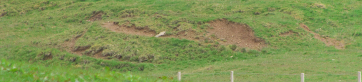
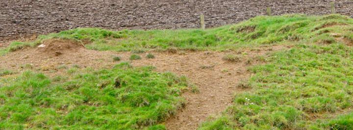
The way to this is on the Cauldhame road (whose marked end lies on the Stromness-Skaill road whilst the other end can be found following the road north from the Co-op and around the Loons), and it is downstream of Una where a fieldfence stops near the burn's southern edge. In the flesh it presents more the appearance of an islet in the stream, a small water-carved eyot. An urgent bladder deterred me taking a closer look. This is a shame as the burnt material is on the one unseen slope, everywhere else exposing bare yellow earth au naturel. The burn runs around its northern side but doesn't show on the photos. On the opposite side I saw a ?curving plateau between it and a more or less straight much higher 'bank' lying outwith an uphill fence (whose eastern end's stone post shows continuing erosion by its exposed base, just about visible on one shot) - did the burn once course here too, which would then rule it out as a burnt mound. Adding to my suspicion of once higher waters are the 'terraces' around the streamward side. Perhaps the natural has been co-opted and the real archaeology had been on top. I am minded that Langa Dae [Linga Dee] in this parish had cinerary mounds and "the burn or water courses have been conducted in a meandering manner about each mound"
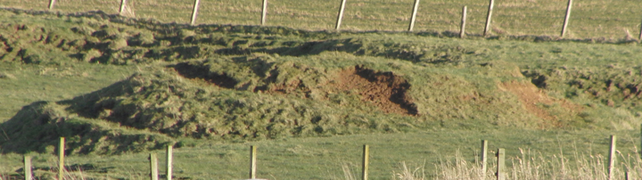
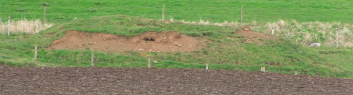
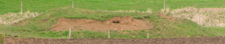
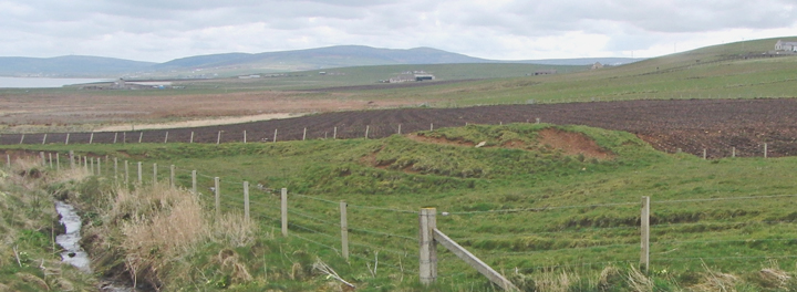
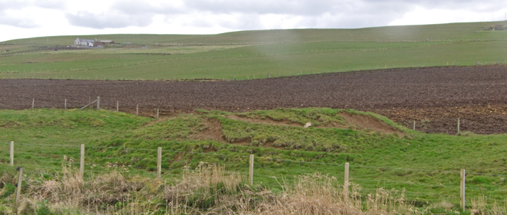
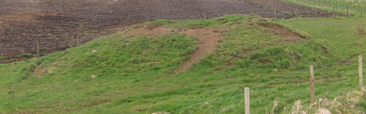
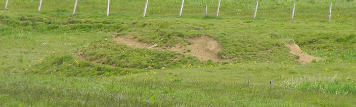
RCAHMS record no. HY21SW 3 has the same official name of "Quholm, Burn of Una" as two burnt mounds NW 3 by the Burn of Quholmslie [unmapped metre-high mounds near the angle in the Works road nearer the loch]. In the 1880 Orkney Name Book this is a grassy round tumulus. Though still two-and-a-half metres high it now has a 1.3m deep cut from an unrecorded excavation - nothing is known of any finds. Burnt stones in the E'ern slope (i.e. facing away from the road to the loch) have led to its typing, since 1928, as a burnt mound. Still highly visible.