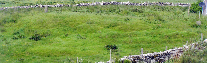
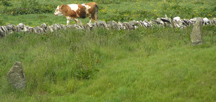
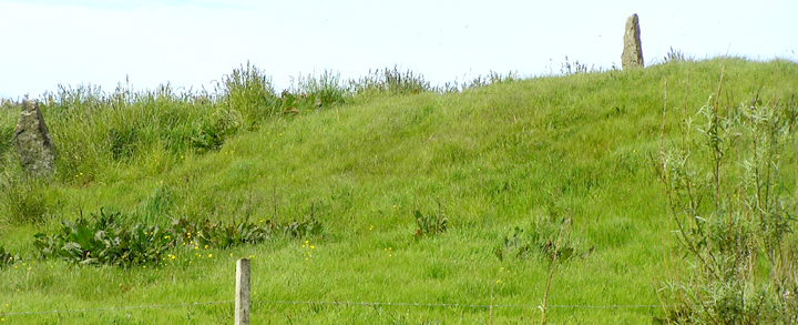
Walking along the bottom line of the Grimeston road [which connects to Quoyer by a couple of farmtracks] at HY31981455 there is a complicated bit of stone building around and about a burn on its western edge.This includes drystane walled banks, but what is interesting is what looks like a short line of brown stones that is the footbridge used in crossing before the road was built sometime after 1882. Coming up the northern leg Langskaill is a fine example of a threshing mill and associated water furniture. Looking across the burn to the field at the end of the furthest south building the brilliant sunshine picked out a rise on the slope as a translucent pale green [possibly with ridges] amid the surrounding dark tussocks. From the road I could see a standing stone on its LH periphery and another at the top. Less obvious is a shorter one hard by the farm building at the right, all three being around the periphery pointing in. Though there is a 'standing stone fence' outside the wall they aren't part of it. Stepping off the road and following an old wake in the damp ground for more views it became even more obvious that this is a mound. A local book on Harray gives the name Pickaquoy for the area about Langskaill, indicating that the Vikings found a prehistoric site here. There is a curving ridge in the field north of the buildings, however there are dozens of these in the Grimeston and Staney Hill area that are of natural formation (banks, moraines, outcrops etc.].
I hold the same opinion of Henge - I know Andrew Appleby was struck by the stones there but it would be hard for the antiquarians to miss a site of such a large size. And Dave Lynn is right about the putative entrance, the causeway is evidently a result of one of the two tracks that preceded the road [devil's advocate does say the constructors could have taken advantage of such an entrance and removed it in so doing]. Because of sheep only explored some of it. Near the SW corner of the field there is a circular bank around a flattish depression where from the road I saw stones . There are plenty of these and the odd space in places beneath. However there is also a big chunk of machinery so it is difficult to say anything without its removal.
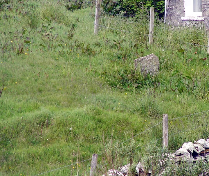
RCAHMS NMRS record no. HY31SW 34 is an area of disturbed ground 16x10 metres where there was once a large stone structure of unknown type. Roughly dressed stones are occasionally ploughed up on a slight rise and there are two such stones which are earthfast - I know of at least two other places where there are such stones directly outside of a building, and at least with one of those they must predate the structure.