Gurteenaduige
Stone Row / Alignment
Gurteenaduige (Stone Row / Alignment) on The Modern Antiquarian, the UK & Ireland's most popular megalithic community website. 7 images, plus information on many more ancient sites nearby and across the UK & Ireland.
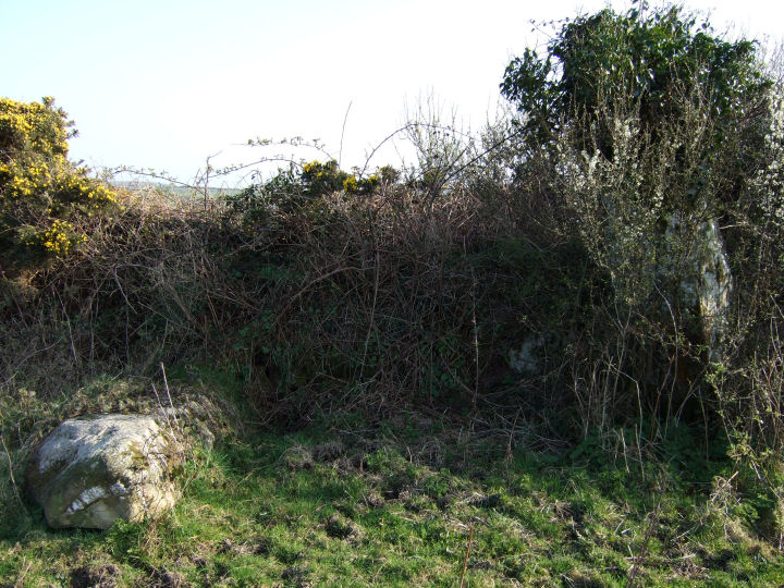
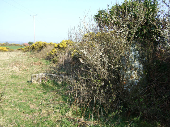
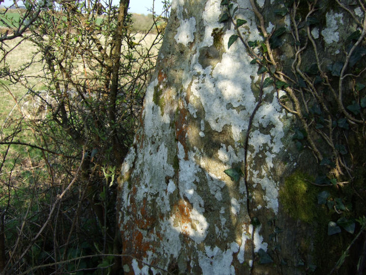
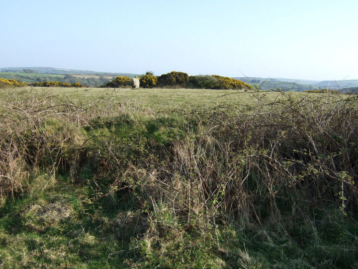
Image © Gordon Kingston
Nearest Town: Leap (2km SSE) OS Ref (IE): W2065639194 / Sheet: 89 Latitude: 51° 35' 59.54" N Longitude: 9° 8' 42.91" W
Web searches for Gurteenaduige
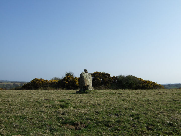
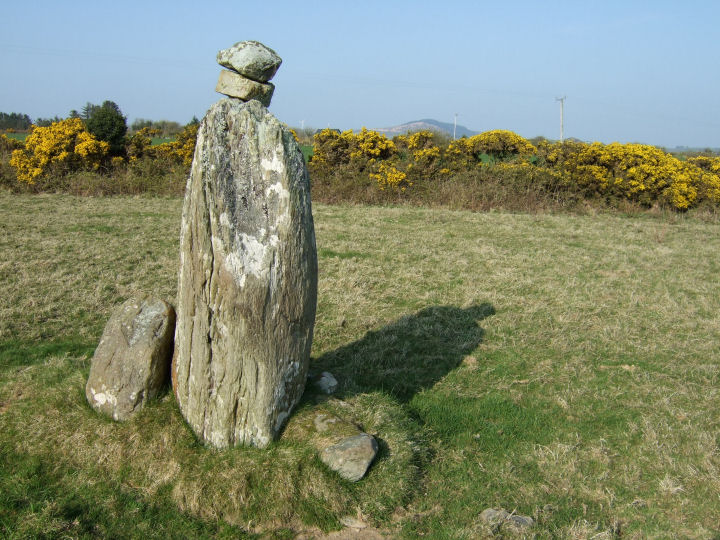
An impressively varied, but perhaps noncontemporaneous, complex, consisting of a tall stone pair and a ringfort with adjacent standing-stone*. A field boundary-wall now splits the former group, N-S, from the latter.
Posted by gjrk Edited 18th May 2009ce

 Posted by gjrk