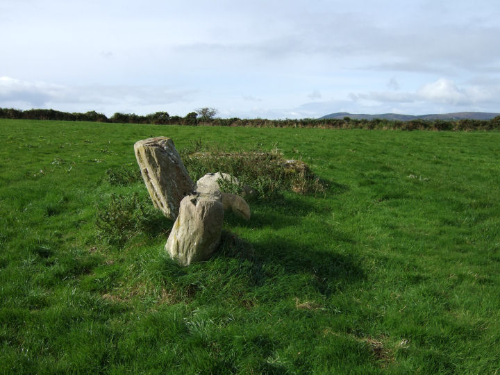
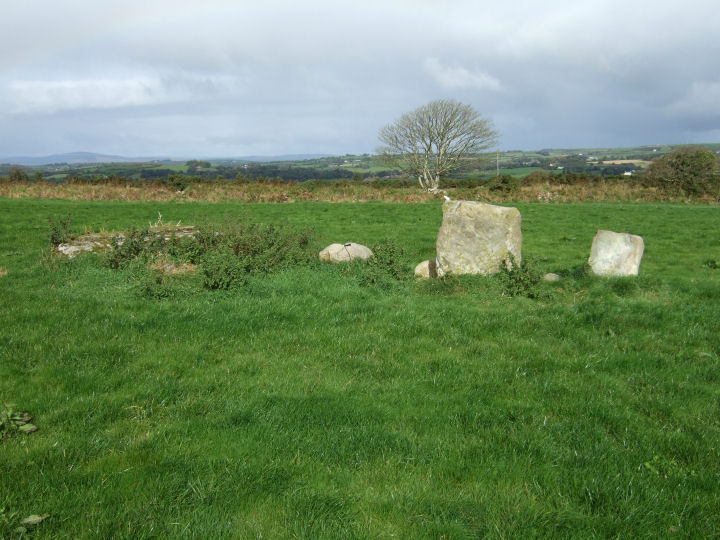
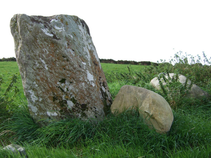
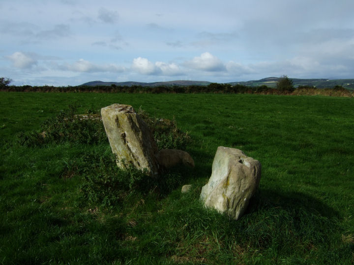
Three, maybe four stones, situated slightly back from the summit of a low hill; the view is considerable to the north and east, but bounded to the south by the proximity of higher ground at Knocklady/Clasharusheen and to the west by the field boundary hedge and the rise to the hilltop - another example of an Argideen/Rosscarbery row being unable to 'see' as much as it could if situated a short distance away.
Like Knockawaddra E the blindfold is partial (the Carrigfadda peaks are still visible), but in its apparent direction of indication. A look over the fence, on a roughly projected line southwestward from the row, reveals a glorious field-patch view, across the Argideen valley, to a point somewhere on the high ground at Clashatarriff. Visible with the naked eye, if you know where you're looking, are the row at Knocks and the circle at Knocks S.
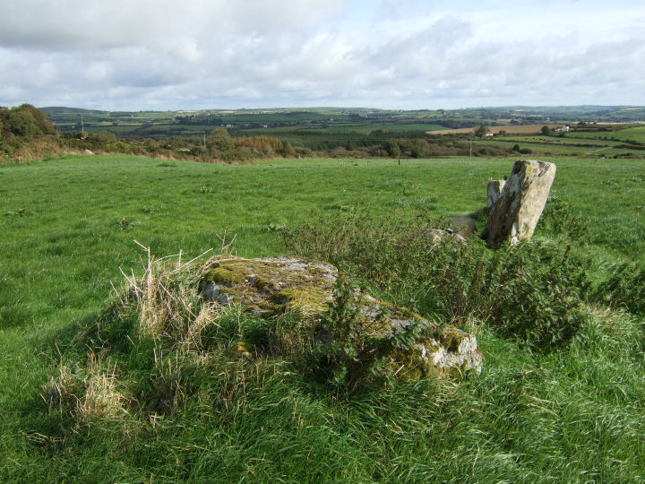
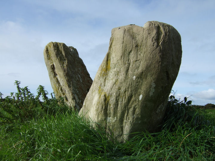
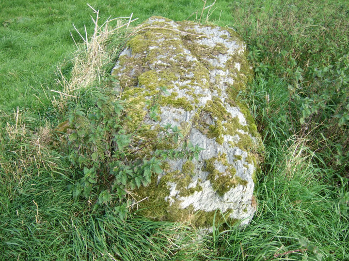
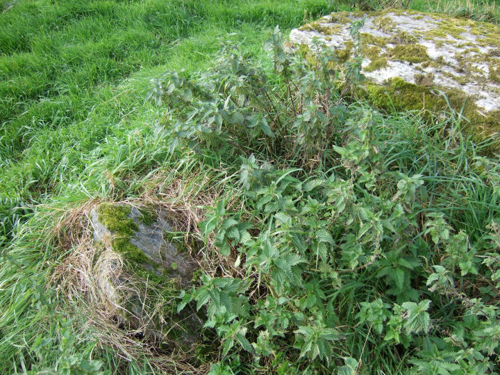
The alignment, as it originally stood, would have been a close, though oppositely focused, relation to Knockawaddra W; a swan guiding her cygnets in gliding procession or a tall sail in the bow - a huge 3m pillar to establish the direction for the line. There is a curious little additional block rooted in the ground just beside this fallen stone and mentioned in the Inventory, but it's difficult to guess at its purpose if it was an original feature.
Best to ask at the farmhouse at the end of the track, running up straight from the right angle bend on the by-road, for directions and access details. He's not the owner but he was kind enough to point me in the right direction.
Archaeological Inventory of Cork, 1992; No.156, 36
The landowner told me that there was an old tale, not uncommon, of a giant throwing the large prostrate stone up on the hill from the cross near Killmeen creamery, a distance of about 2km. Not bad, across the wind.

 Posted by gjrk