|
|

|
|
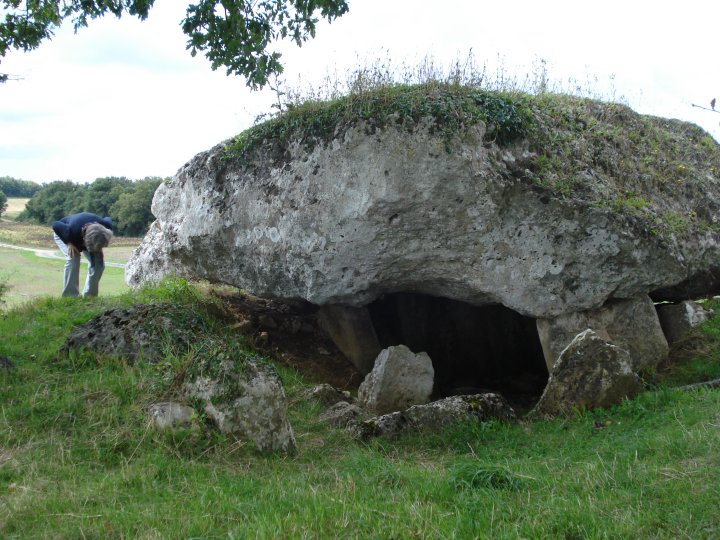
La Grosse PérotteBurial Chamber
|
||||||||||||||||||
|
|
|
Images (click to view fullsize) |
|
|
Fieldnotes |
|
|
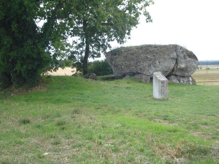
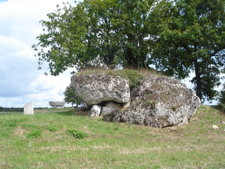
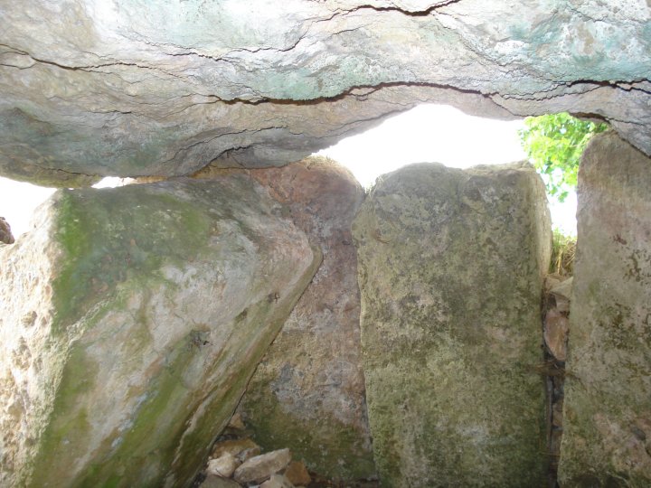
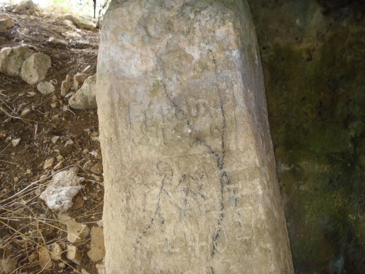
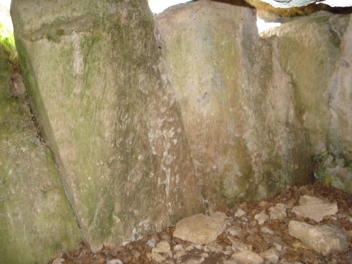
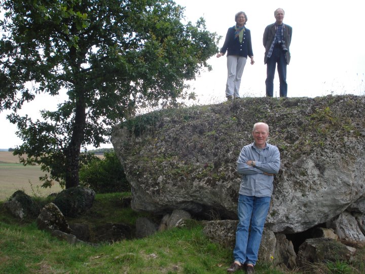
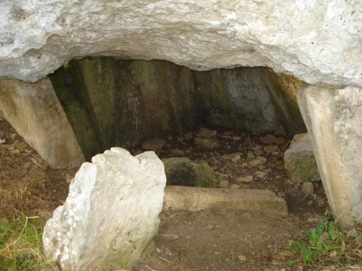
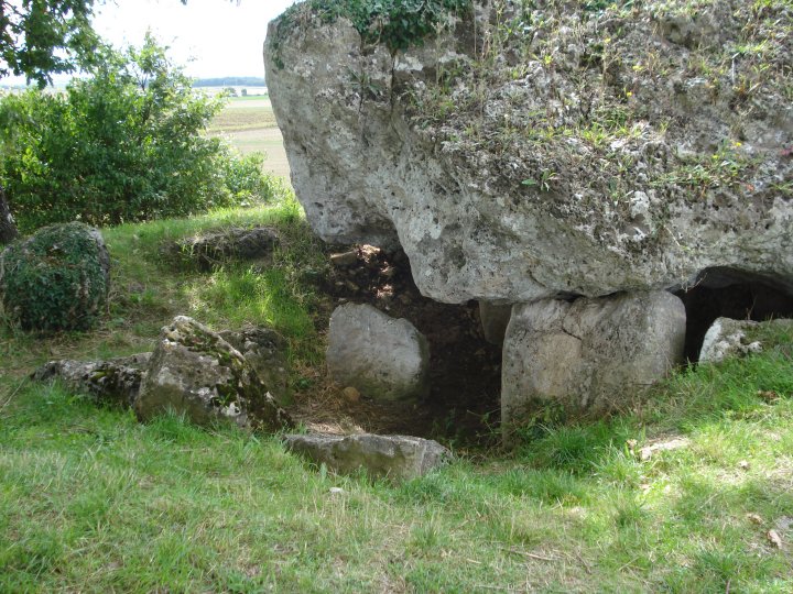
La Grosse Pérotte and La Petite Pérotte are placed a mere 45m apart and should be grouped together. They have been built into a natural ridge a few kilometres SW of the village of Fontenille. Easily spotted from the D.61, the stones are marked with the usual brown historic monument sign, "Dolmens". Parking is easy from the track which runs along the ridge. See the La Petite Pérotte site for more on access. La Grosse Pérotte, which not surprising is the largest of the two, has a huge capstone, 5m square and 2.5m thick. This capstone covers a rectangular chamber of approximately 3m by 4m which is lined with well chosen or dressed stone slabs. Although both dolmans are in a ruinous state, La Grosse Pérotte seems to have been pushed to one side by a giant hand. All the supporting stone slabs lean in the same direction and appears to be the result of seismic disturbance or subsidence.Perhaps the dolman was built above another, subterranean chamber or void, which has since collapsed in on itself. The area around the mound is littered with half buried stones and it is difficult to tell where they would have originally fitted. Maybe there was an entrance passage or galleries of the main chamber which were covered by the mound. A concrete plinth stands directly in front of La Grosse Pérotte, but it's bronze information plaque has been ripped off and any details relating to the either chambers' Neolithic carvings, obscured from the causal tourist or sight seer. The area surrounding the ridge, were these dolmans sit, is covered with prehistoric mounds and it would be interesting to work out their interconnections. Traditionally the area was marsh and bog, making this ridge a natural island. Perhaps the draining of the land has caused or contributed to the subsidence. This region of France is know as the land of 1000 barrows and many of it's modern descendants migrated to similar marshy, boggy lands, the Cajun of Louisiana for example, originated here. Chance - Sep 2008 |
 Posted by Chance
26th April 2009ce |