The Modern Antiquarian. Stone Circles, Ancient Sites, Neolithic Monuments, Ancient Monuments, Prehistoric Sites, Megalithic MysteriesThe Modern Antiquarian


Sarsfieldstown/Rathwire Upper

Barrow / Cairn Cemetery

<b>Sarsfieldstown/Rathwire Upper</b>Posted by ryanerImage © ryaner
Nearest Town:Mullingar (12km W)
OS Ref (IE):   N558515 / Sheet: 42
Latitude:53° 30' 37.87" N
Longitude:   7° 9' 31.75" W

Added by ryaner


Discussion Topics0 discussions
Start a topic


Show  |  Hide
Web searches for Sarsfieldstown/Rathwire Upper
Show map   (inline Google Map)

Images (click to view fullsize)

Add an image Add an image
<b>Sarsfieldstown/Rathwire Upper</b>Posted by ryaner <b>Sarsfieldstown/Rathwire Upper</b>Posted by ryaner <b>Sarsfieldstown/Rathwire Upper</b>Posted by ryaner

Fieldnotes

Add fieldnotes Add fieldnotes
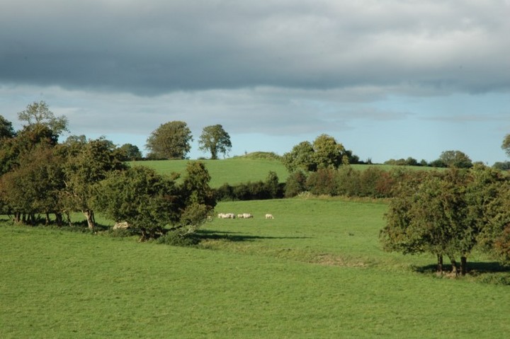
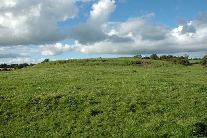
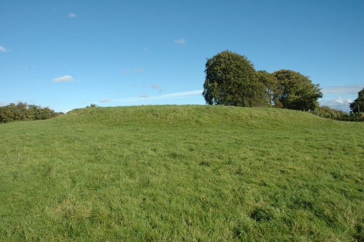
There are 6 barrows marked on the map just west of Killucan. They range across 4 townlands: Sarsfieldstown, Rathwire Upper, Lisnabin and Rathnarrow. The large one depicted here is just over the fence beside the R156 in Sarsfieldstown. It's the biggest barrow I've ever seen, flat-topped, about 45 metres long, 10 metres across and rises to about 2 metres. Erosion from cattle grazing has exposed some of the mound. From its top you can clearly see the much smaller barrow in Rathwire Upper about 400 metres to the north-north-east.
The other four barrows are not visible from here, 3 on a spur between 2 hillocks in Lisnabin and Newdown at Rathnarrow and 1 on the peak of Lisnabin itself.
ryaner Posted by ryaner
17th September 2007ce