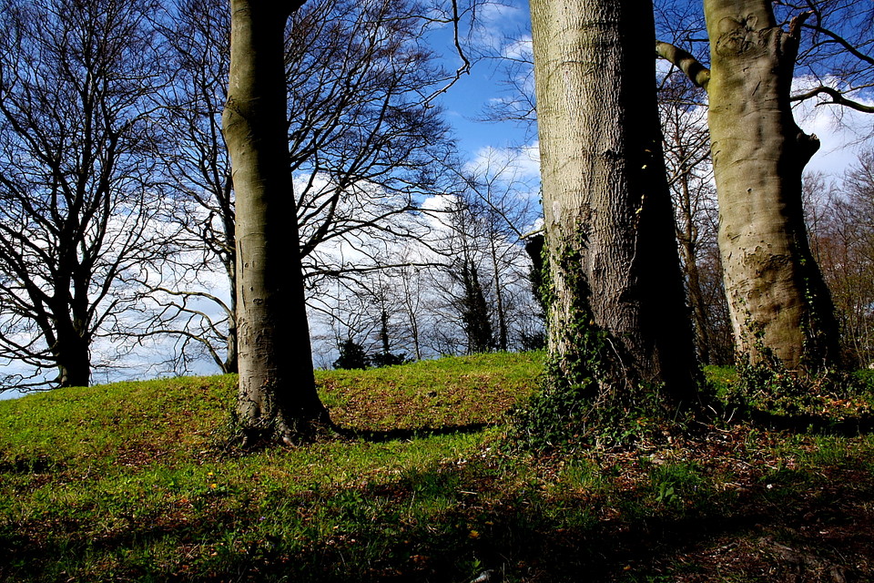
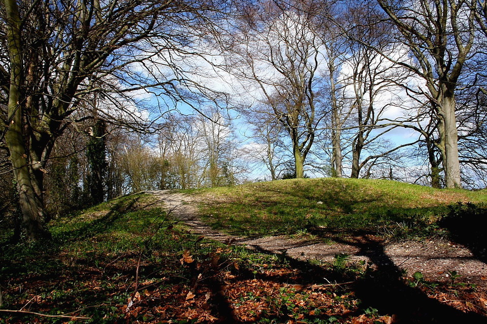
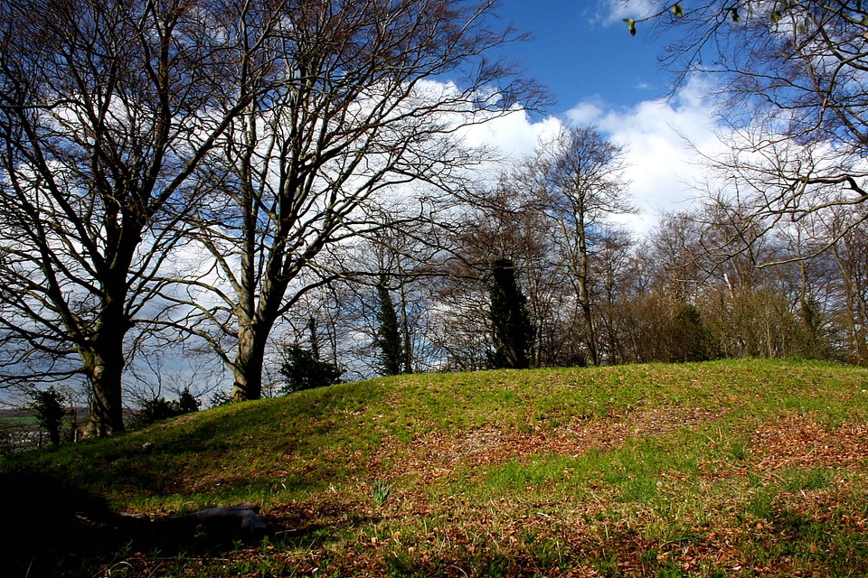
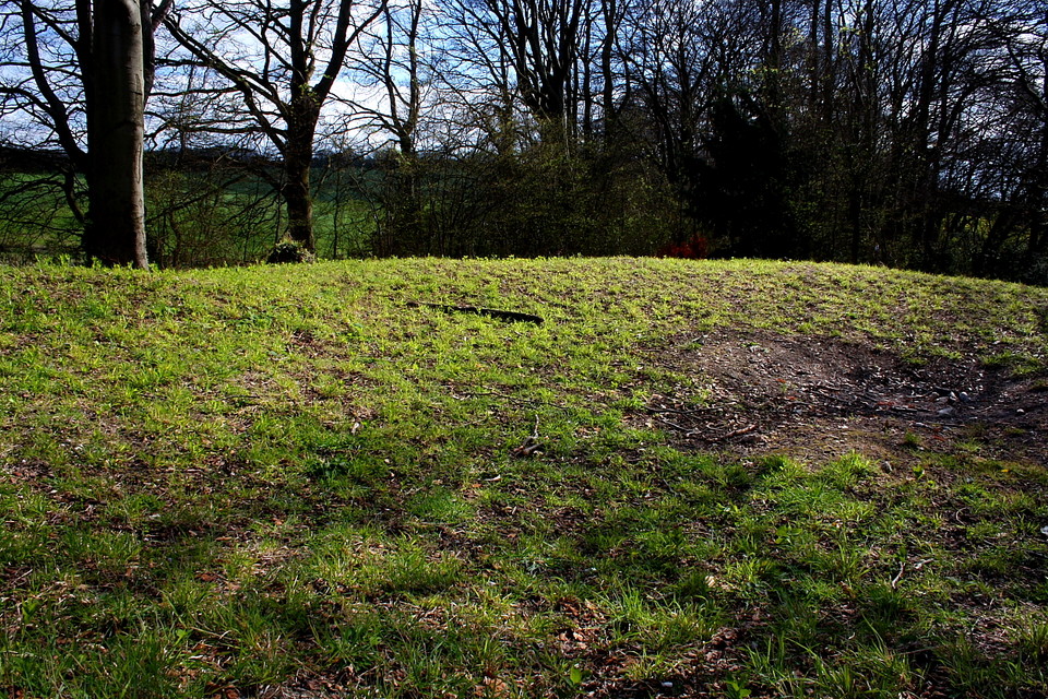
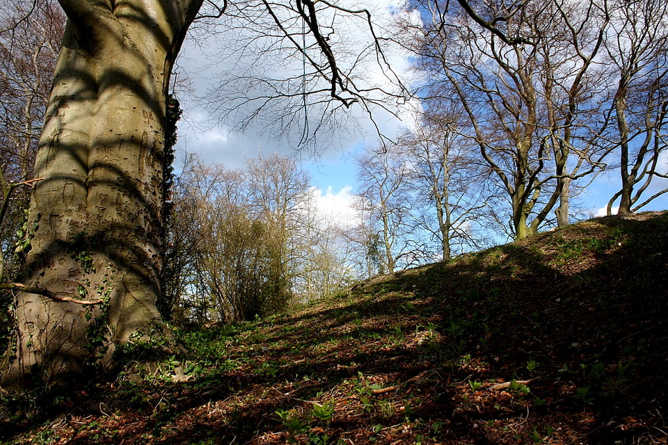
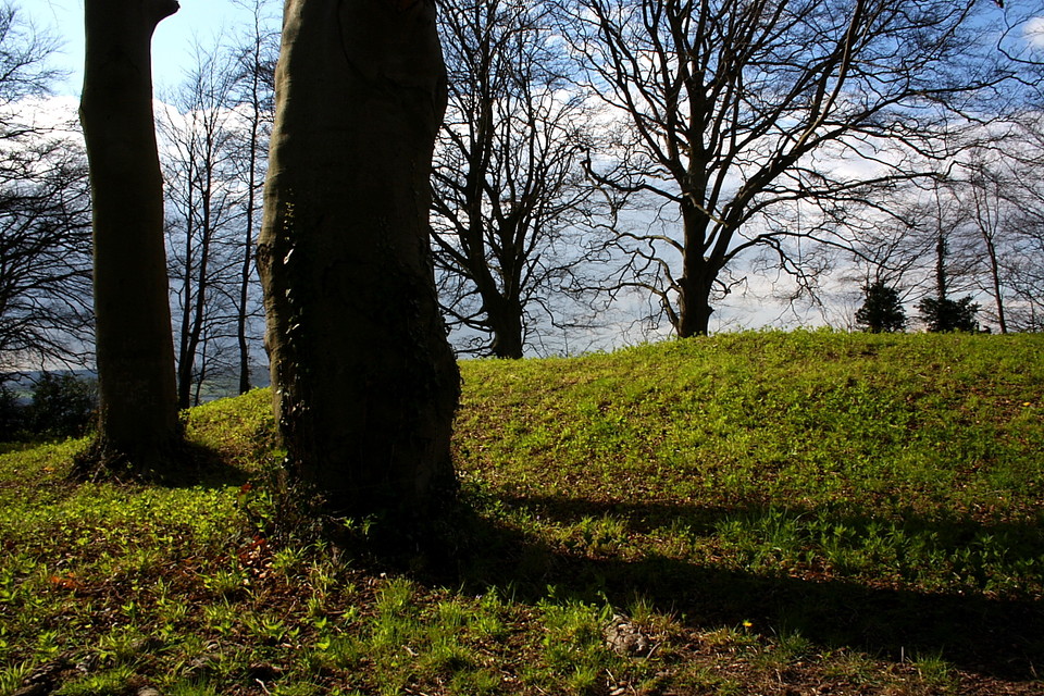
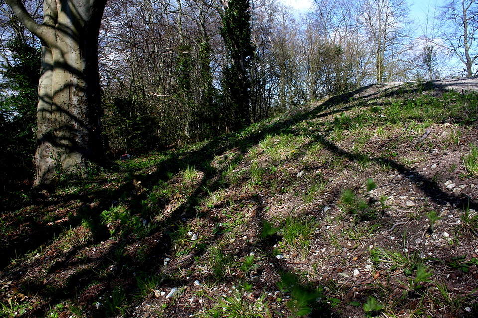
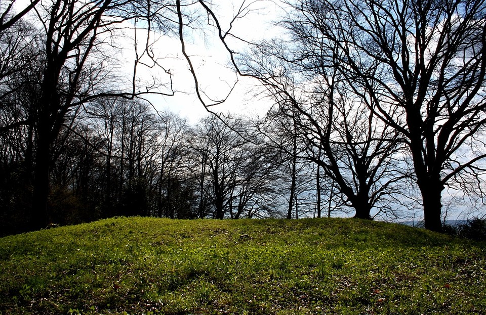
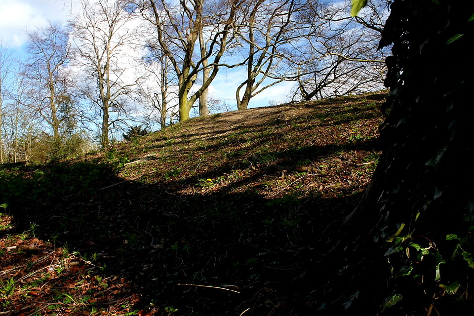
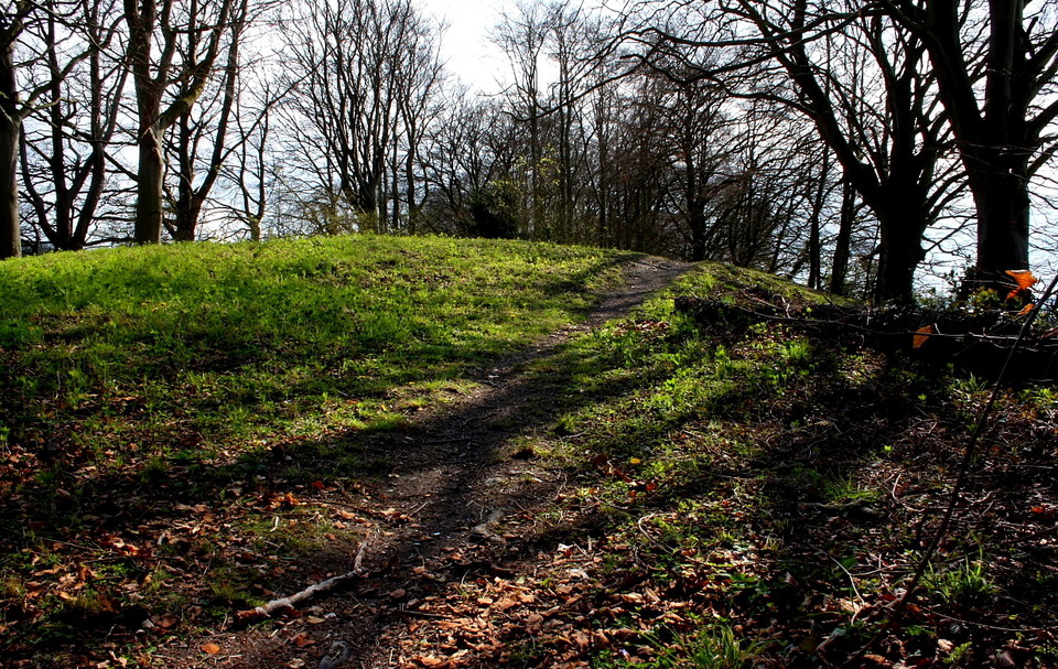
Perched [unusually] right on the crest of a very slim ridge running roughly N-S, this rare Kentish bell barrow has suffered from looters at some stage in antiquity. The hole left in the top has probably reduced it from its current 2m height quite considerably, though there are supposed to be remains still waiting to be excavated. The ditch has suffered with falling trees uprooting large chunks of soil, but is still in evidence to the North and South. Due to the [too] narrow strip of land this barrow is sited on, the East and West sides of the barrow are actually on the downhill slopes and no trace of any ditch can be seen.
Access via Ivy Cottage Farm [park opposite], across the small field and straight up the hill to the N Downs way, then left and along the ridge for 200m. The barrow takes up the entire width of the woodland so no hunting.
The views on either side of the ridge are quite impressive, with a long strip of the Medway visible to the South round to the North West. This barrow must have been highly visible especially to the West, as it would have created a large hump in the smooth horizon especially if it was as high as has been suggested.
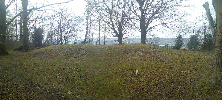
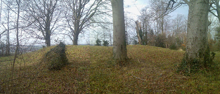
ABOUT 1 mile south of Borstal in a beech wood called "Shoulder of Mutton Shaw" is an overgrown earthen mound some 10 feet in height and between 30 and 35 feet in diameter at its base. It has been known to map-makers for some long time, and has been variously described by them as a tumulus, a castle, and a fort. A recent visit has not confirmed the section of the mound published in V.C.H. Kent, Vol. I (1908), p. 411, there being no sign of a surrounding ditch or of the symmetrical depression there shown in the top. It has no structural features of note, and appears to be a simple tump of earth and chalk. Excavation has certainly been made in the summit of the mound, but this may be due to the burying of a dead sheep which, on the farmer's information, took place some years ago.
Close by the western side of the mound is the sixteenth Boundary Stone of the City of Rochester, and this surely provides the clue to its purpose. In 1460, part of the City boundary ran from Keneling's Crouch or Poule's Cross on the Rochester-Maidstone road to the Manor of Nashenden, to the Mill Hill next Nashenden, thence to the stone, and then between the King's Highway leading to Wouldham and the Manor of Ringes on the east side of that Manor.
According to Hasted the stone is also mentioned in a charter of Charles I to the City. From the charter evidence it is not quite clear whether the stone stood nearer to Ring's Hill Farm, where a boundary stone still stands, or whether it was the stone at the side of the mound. In any case, a boundary mark would almost certainly be provided on such a hillside spur, and it may well be that advantage was taken of an earth mound which may already have been in use as a Manorial meeting place. An examination of original documentary sources would probably decide the question.
R. F. JESSUP.
Archaeologia Cantiana Vol. 55 - 1942 page 71

 Posted by slumpystones