This little known hillfort to the north of Swindon is something of an enigma, it is on private land though apparently frequented by local dog walkers. Although privately owned it is under the jurisdiction of English Heritage... continues...
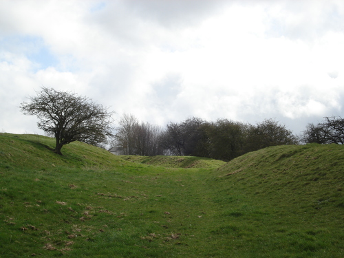
I took a wander up to Castle Hill at Broad Blunsdon this morning. A very easy walk up a single track road called Burytown Lane which leads to Upper Burytown Farm. I had been unaware of this hillfort until I heard recently that the farmer wants to fence off the 'right of way' ... at least I think it is a right of way. There are two notices at the gate into the hillfort; one says "bull in field" the other indicates by a dotted line the path across the hillfort with the emphatic statement that there is no permissive circular path around the fort.
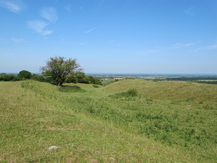
There is a superb view to the north and on this beautiful sunny morning it did look impressive. The hillfort has open access to a herd of pedigree cattle though today they had congregated in a lower field. I understand the farmer wants to fence the path off so that the cattle are not harrassed by dogs not on leads. Its quite hard to visualise a hillfort with a fence across the middle, even one as relatively low profile such as this one.
Another sign of the times, I noticed on my walk back down that the attractive village church has had a load of its roof tiles nicked. Sigh!
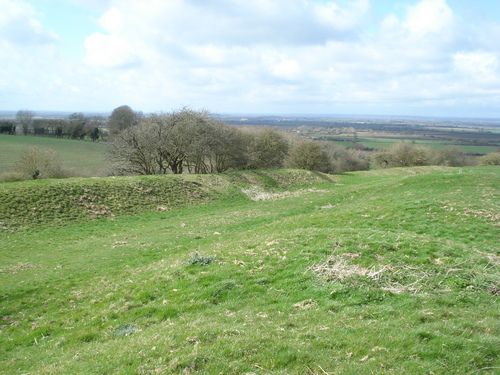
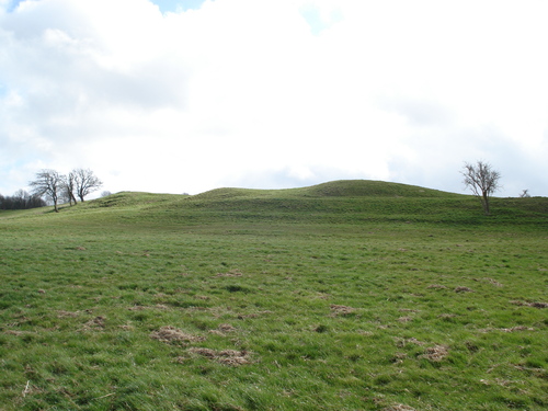
A large univallate iron age hill fort . The earthworks on the western side consist of 2 banks and a ditch which are in good condition but appear to have been flattened out in between by farm traffic. To the north there are various remains of ditch and bank but elsewhere there seems little sign of the original earthworks as there is a farm to the east and a farm track cuts across the southern side of the site. This track would appear to follow the original edge of the site. A nice spot though with really good views on all sides except the south.
Castle hill is a a univallate Iron Age fort with wide views across the Thames valley. Alfred Williams spoke to two haymakers from Lus Hill, who believed the camp was built by Oliver Cromwell. Cromwell's men were also supposed to have had a shot at the Highworth church from here, with the cannonball that made the hole in the tower hanging in the church yet. * Highworth is a Long Way Away though!
*This from 'Round About the Upper Thames' by Williams (1922), quoted by Katy Jordan in her 'Haunted Wiltshire' (2000).

 Posted by tjj
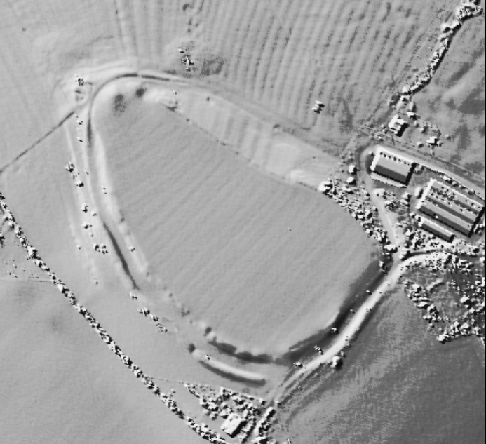
 Posted by Rhiannon