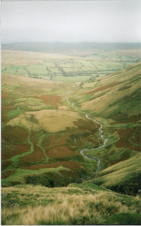
As the photo suggests, the site is best viewed from above on the path to the waterfall. At 'ground level' its a bit hard to interpret.
ADS entry states
A well-defined trackway leads westward from the prehistoric enclosed settlement SD 69 NE 1 up the central ridge of the Cautley valley towards Cautley Spout. It takes the form of a lynchetway, a hollow way and a built-up causeway in various places and is approximately 3.2m wide. Further to the W its course is marked by some small boulders which may have been deliberately placed. This trackway seems to be connected with the settlement and may be contemporary.
This site consists of scattered stones and earthwork remains.
The setting of the site - at the foot of Cautley Spout falls - is most impressive.
There is a stone-edged track which leads from the settlement to the foot of the falls and stops there.
This suggests that the falls had special significance.
Park near the Cross Keys on the A683 east of Sedbergh.
(This is a temperance inn so don't expect a beer after your walk). Follow the footpath signposted Cautley Spout. Its about 3/4 mile to the settlement. The path is often boggy in places.