|
|

|
|
Bray DownCairn(s)
|
||||||||||||||||||||||||
|
|
|
Images (click to view fullsize) |
|
|
Fieldnotes |
|
|
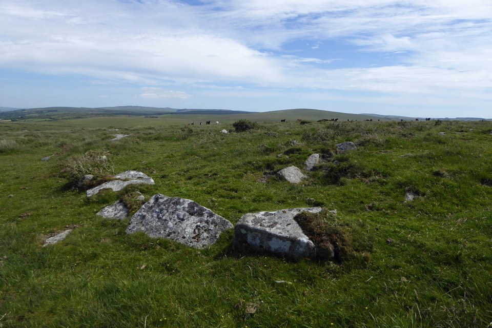
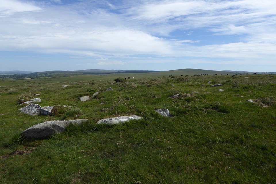
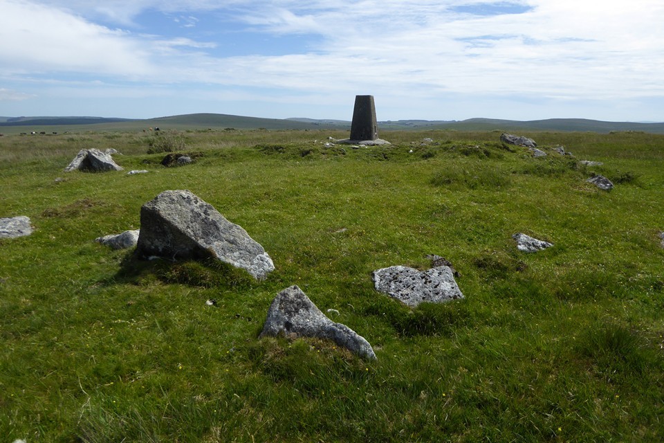
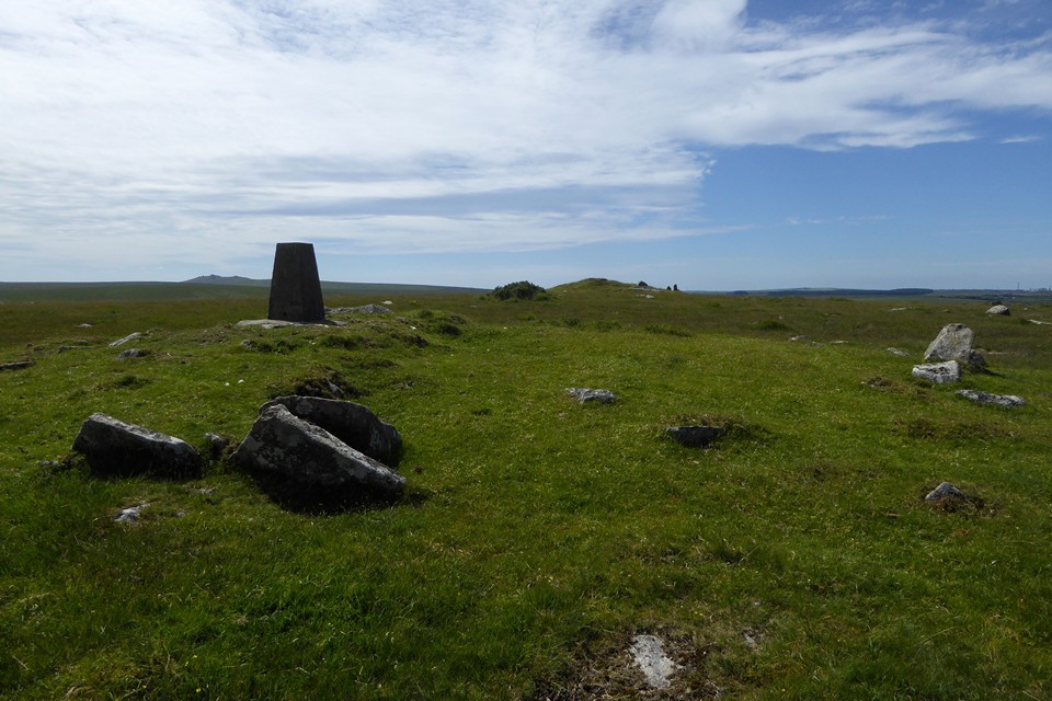
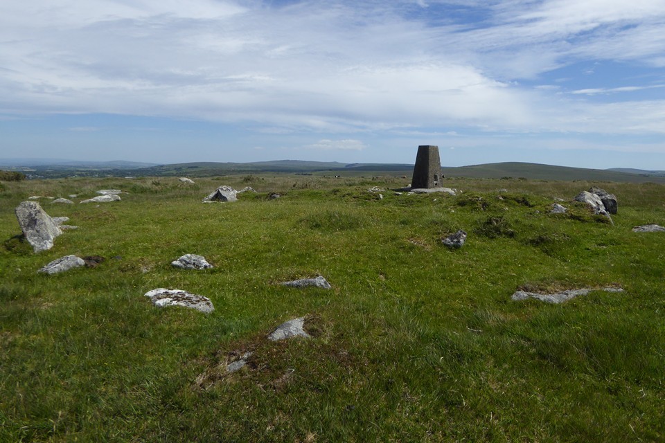
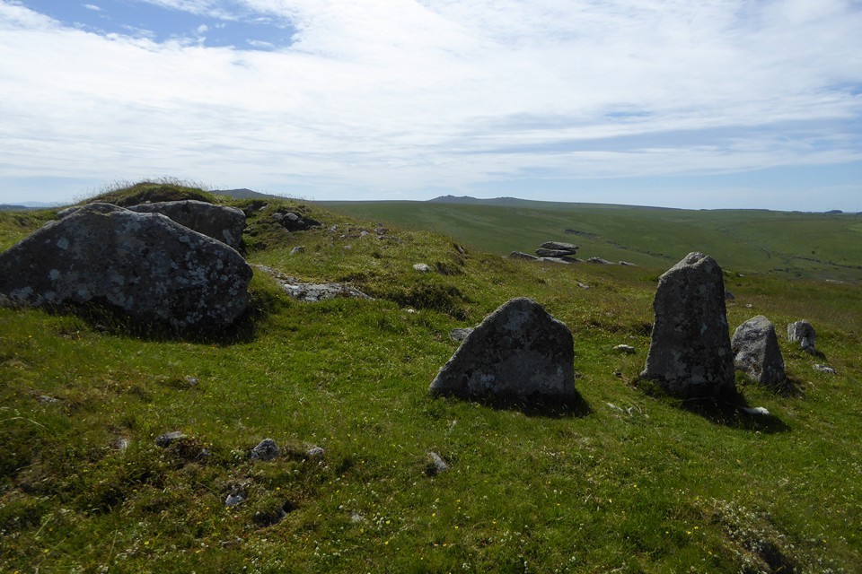
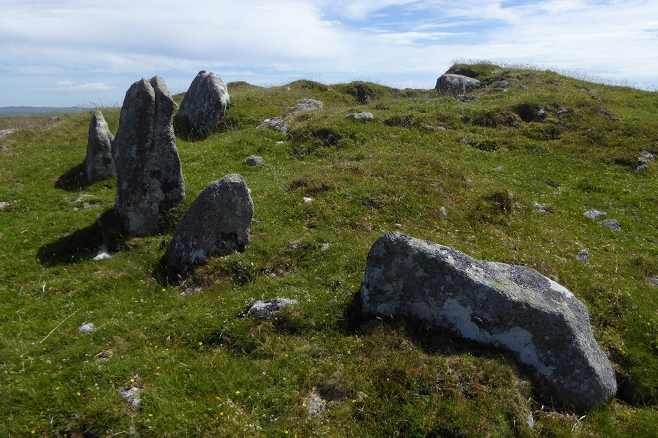
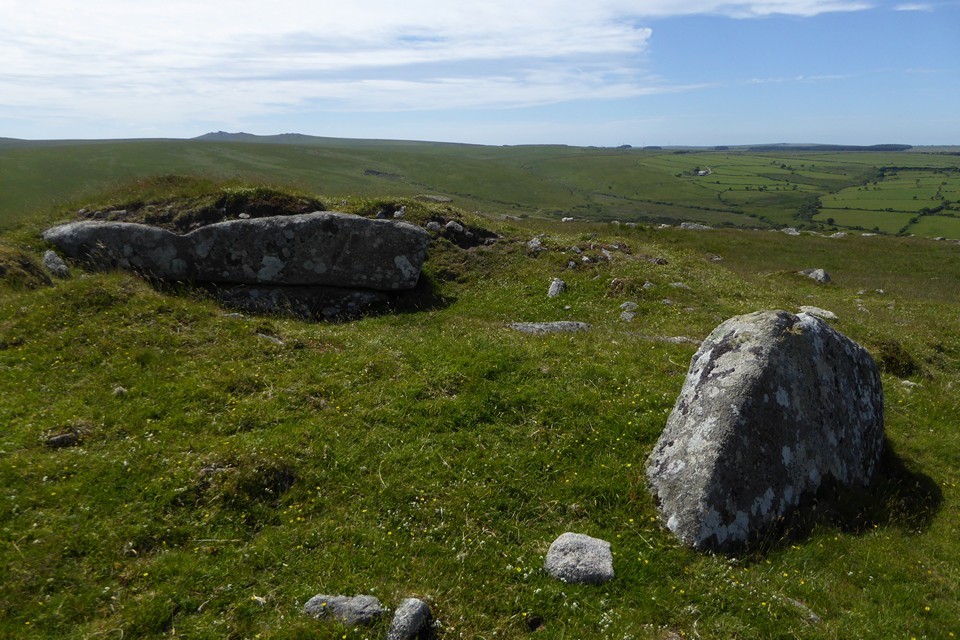
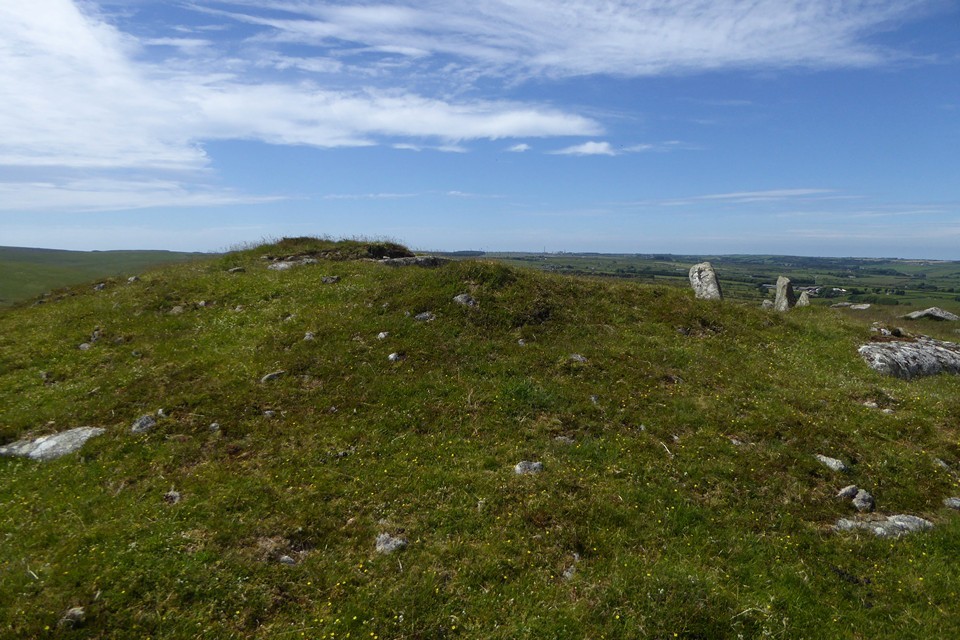
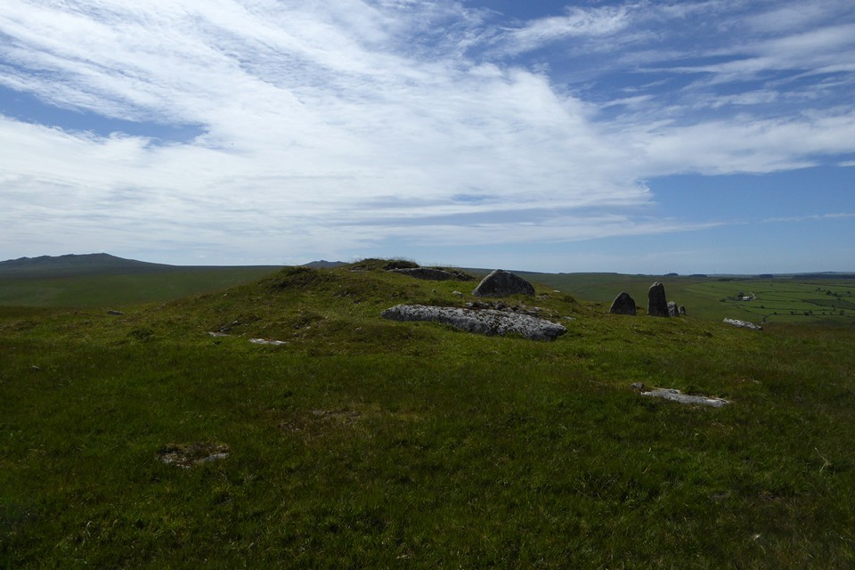
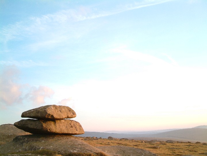
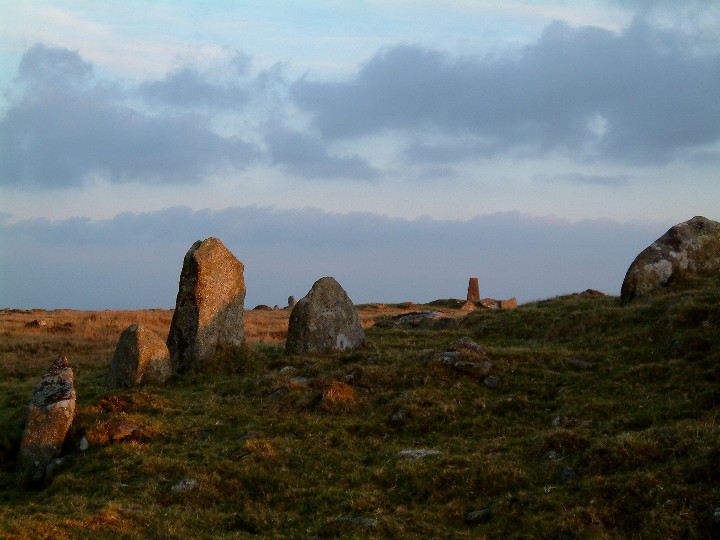
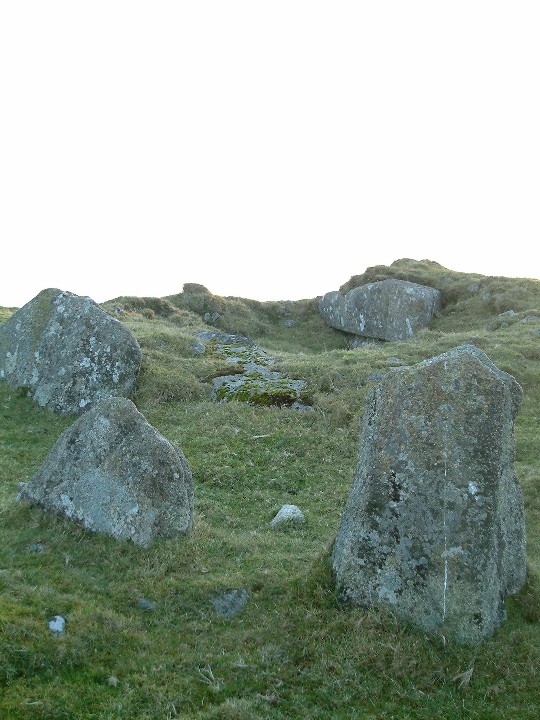
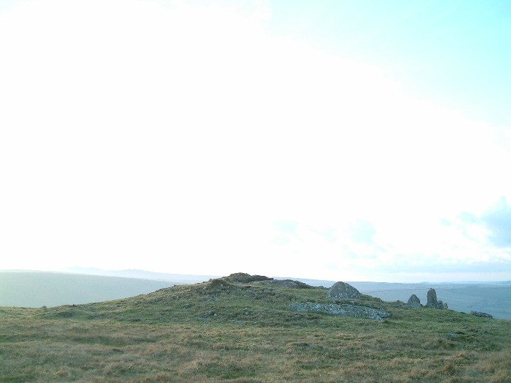
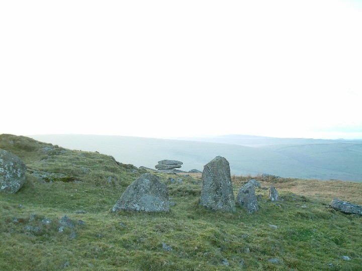
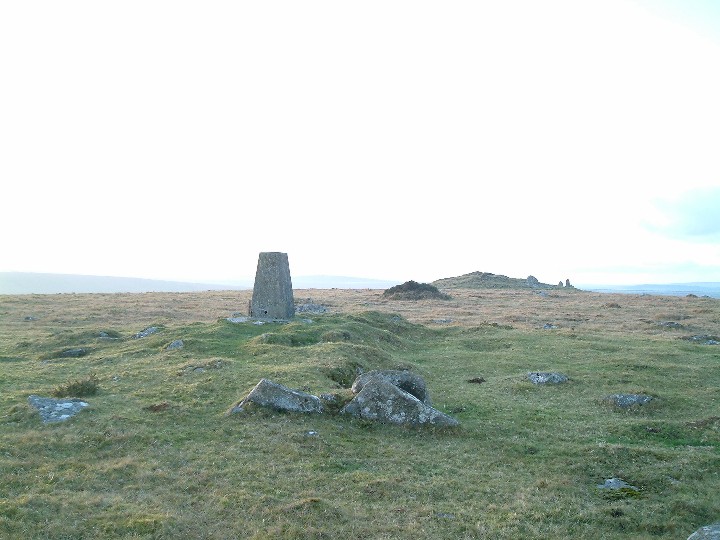
Now, since I'm not in the habit of adding to the physical burden that is my already way-too-heavy rucksack with a copy of the Oxford English Dictionary - nor, I have to admit, Apple's apparently 'wondrous' device, so subjecting my movements to the scrutiny of GHQ - I'm not privy to the official definition of 'idyllic'. Not even sure I've spelt it correctly, to be honest. But no matter, since, whatever the selection made by Dr Johnson's scholarly successors, I'd suggest the following would suffice nicely: "Where the Penpont Water is forded by the Bothwick-West Carne road, Bodmin Moor". Yeah, this is quite some spot to begin my last day in Cornwall. Not so much 'chocolate box', as, upon having eaten both layers of Terry's All Gold, finding a third beneath within a TARDIS-like confectionary dispensary. A track heads southward, well sort of, following the right hand (western) bank of the water course, Bray Down, a perceived hint of cairn at the apparent summit, rising to my left. The route becomes progressively more boggy in short order, prompting thoughts of crossing sooner rather than later... or perhaps more to the point, why didn't I set off along the left hand bank, muppet? Sure enough, the terrain soon degenerates into a quagmire and it takes all my not-very-copious reserves of ingenuity to find a way across dryshod. Giggity, indeed. Nevertheless, once across, a short, rough ascent brings me to the summit, much to the apparent bemusement of some cows. Well, it is hard to tell. Might have simply been bovine indifference. The summit of Bray Down is crowned by - in my opinion anyway - a trio of cairns. OK, only the western-most is particularly upstanding nowadays... but the survival of an arc of large kerb stones is more than enough supplementary detail to compensate for the assumed robbing of its near neighbours. As Mr Hamhead notes, exposed natural outcropping can be seen within the cairn, prompting deliberations as to whether this was intentional, symbolic, or utilitarian in nature. Or just plain lazy. Or damn clever. Whatever the truth, a truth now forever lost in the ever receding depths of time, this is a great cairn with excellent views across Bodmin Moor and, nearer to hand, within sight of a nice little logan stone. As for the other two monuments.. the middle, bearing an OS trig pillar, is ravaged but clearly rather substantial back in the day... whilst the eastern is substantially overgrown, of no great height, but nonetheless displaying a not inconsiderable footprint. Furthermore, a triumvirate of upland cairns, unlike people, doesn't make a crowd; rather an appropriate environment generating a vibe imploring the visitor to plonk oneself down and partake of possibly upland Cornwall's greatest resource: utter silence. A revolutionary act, perhaps, in an era of information overload arguably reaching critical mass. Yeah, Robespierre and the other Jacobin nutters might not have approved, but there you are. Of more concern is the abundance of aerial insects in the immediate vicinity of the western cairn. Or, more specifically, their identity. Well, seeing as ancient cairns are, in my experience (not to mention the Mam C's) prime locations for bees to establish a hive, one has to take these things seriously. Fortunately the creatures are particularly noisy flies. Annoying, but without a sting in the tail, so to speak. Lazing in the sun upon Bray Down (don't you just love the inconsistencies of the English language?) - particularly following the flash floods experienced earlier in the week - is a great way to spend a few hours. However eventually Buttern Hill calls from across the valley. Time to complete the walk: http://www.themodernantiquarian.com/site/10341/buttern_hill.html |
 Posted by GLADMAN
7th October 2017ce Edited 8th October 2017ce |
|
Although I have put this site in under cairns it is more than that...but I was not sure if sacred hill was quite the right description. 3 Dec 2004 Bray Down is the most northerly hill of Bodmin Moor, and I must admit I had never explored it until this week. Not that it is hard to reach or access, just that it had never looked that interesting. As it is I had noticed that there was a settlement marked on the OS map at SX191826, just above the road that runs from Altarnon to Davidstow Moor. Being in the area I decided to drive up and have a look. I parked the car at Bowithick where the river is forded and a track goes off onto the wild moor below Buttern Hill. From here it is a plesant walk along the very quiet road back to where the settlement should be. After a while a muddy track heads off up the hill at a slight angle and I decided to follow this for a while before cutting back to the settlement. That was the plan.... Then i noticed an abandoned farmstead ahead and went to have a nose....nothing ancient, well perhaps mid 1800s but still got me interested. After exploring the four cottages and adjecent barn I headed uphill to the summit. The views over the wild northern moor were superb, it is a very lonely empty place up here, no signs of habitation at all, no signs of roads, very few "landmarks" just rolling moorland. But just to remind you that you are on Bodmin Moor the twin hills of Brown Willy and Roughtor stand proud to the west...and this afternoon they are silhoetted by the sinking sun. On the summit of Bray Down are two cairns, one has been vritually destroyed and a trig point sat in the centre of it whilst the western one has been dug into but is still a mound. This could be something to do with the fact that it seems to be, like Showery Tor, a cairn built not over a burial site but around a natural feature. Two sides of the cairn have been dug into but only as far as the natural rocks. On the northern side three uprights remain on the edge of the cairn. With the sun sinking I open the flask and pour a coffee, put on my coat and wait...the sun turns the rocks around me orange (and possibly me as well) before it dissapears behind clouds coming up from the west. It is time to move on.. I descend back down the hill to the car, the light fading with every step. As I reach the car I remmember that i was going to look for the settlement...oh well, goood excuse to come back. |
4th December 2004ce |