The Modern Antiquarian
Log in
|
Register
Home
Latest Posts
Forums
Maps
Help
Browse Sites
News
Blog
Contributors
The Books
Select
-
Belgium
Denmark
Eire
France
Germany
Greece
Italy
The Netherlands
Norway
Portugal
Republic of Malta
Spain
Sweden
Switzerland
United Kingdom
England
Northern England
West Yorkshire
The Stones
Standing Stones
The Stones (Standing Stones) on The Modern Antiquarian, the UK & Ireland's most popular megalithic community website. 13 images, plus information on many more ancient sites nearby and across the UK & Ireland.
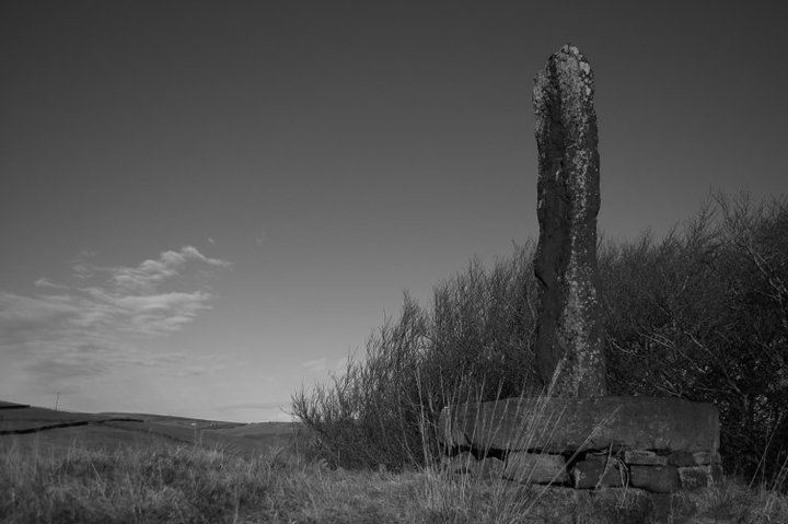
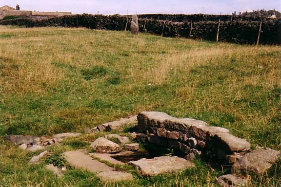
Image © Layla Bert Smith
Nearest Town:
Todmorden (1km NE)
OS Ref (GB):
SD925237 /
Sheet: 103
Latitude:
53° 42' 33.66" N
Longitude:
2° 6' 49.1" W
Added by
Paulus
Images (13)
0 discussions
Start a topic
Show |
Hide
Web searches for Stones
Flickr
Google
Google Images
MAGIC
The Megalithic Portal
Bing
Stone Pages
Streetmap.co.uk
Wikipedia
Show map
(inline Google Map)
- Sites within 20 km -
-
Blackheath Barrow (2.4km NE) (0 posts)
Blackheath Circle (2.54km NE) (1 post)
Great Bride Stones (3.17km N) (16 posts)
Bent Head (4.12km ENE) (4 posts)
Hippins Stone (4.87km NE) (1 post)
Two Lads (Withens Moor) (6.09km E) (3 posts)
Higher House Moor Monolith (6.5km E) (1 post)
Standing Stone Hill (7.05km NNE) (3 posts)
Turley Holes Moor Standing Stones (7.26km E) (3 posts)
Mosley Height (7.83km WNW) (10 posts)
Stump Cross (7.98km WNW) (6 posts)
Cant Clough (8.14km NW) (2 posts)
Cliviger Law (8.37km WNW) (4 posts)
Round Hill (8.53km WNW) (3 posts)
Sutcliffe Rough Standing Stone (9.23km N) (4 posts)
Hambledon Pasture (9.51km NW) (13 posts)
Wicken Hill (9.61km ENE) (2 posts)
Worsthorne Hill (10.02km NW) (9 posts)
Ring Stones (10.07km NW) (8 posts)
Churn Milk Joan (10.15km ENE) (9 posts)
Midgley Moor Standing Stone (10.21km ENE) (4 posts)
Delf Hill (10.27km NNW) (19 posts)
Robin Hood's Penny Stone (10.39km ENE) (6 posts)
Miller's Grave (10.48km ENE) (5 posts)
Walshaw Dean (10.57km NNE) (18 posts)
Twist Castle & Barrow (10.61km NW) (6 posts)
Hellclough (10.64km NNW) (11 posts)
Ell Clough (10.66km NNW) (5 posts)
Extwistle Moor (10.74km NNW) (5 posts)
Pike Lowe (11km NW) (2 posts)
Dove Stones (11.02km N) (3 posts)
Beadle Hill (11.08km NW) (1 post)
Burwains Camp (11.71km NNW) (10 posts)
Rocking Stone, Warley Moor (12.52km ENE) (1 post)
Burwain's Farm (12.64km NW) (0 posts)
Beacon Hill Round Barrow (12.76km E) (1 post)
Ringstone Edge Cairn Circle (13.03km E) (10 posts)
Ringstone Edge Moor (13.03km E) (3 posts)
Ringstone Edge Mounds (13.24km E) (3 posts)
Ring Stones Hill (13.39km NW) (1 post)
Whitelow (14.11km WSW) (10 posts)
Little Hameldon (14.2km W) (12 posts)
Silver Hill (14.87km NNE) (1 post)
Castercliff Camp (15.24km NW) (16 posts)
Wycoller Hall (15.6km N) (5 posts)
Thirteen Stones Hill (15.86km W) (8 posts)
Jacksons Barrow (16.57km SE) (7 posts)
Castlesteads (16.64km SW) (9 posts)
Rocking Stone Hill (Golcar) (16.8km E) (2 posts)
Saddleworth Bowl Barrow (17.17km SE) (4 posts)
Castlestead Ring (17.85km NE) (2 posts)
Ravenstone Rocks (18.58km ESE) (2 posts)
Carve Hill (18.78km WSW) (4 posts)
Hitching Stone (Keighley Moor) (19.01km NNE) (4 posts)
Winter Hill Stone (19.17km NNE) (1 post)
- Facilities within 20 km -
-
Fox and Goose (Pub: 7 km NE)
middle beardshaw head ... (Camping Site: 14.6 km NNW)
- Add -
-
Add news
Add an image
Add fieldnotes
Add folklore
Add miscellaneous
Add a link
-
Add a site
Add a nearby facility
Add an alternative name/spelling
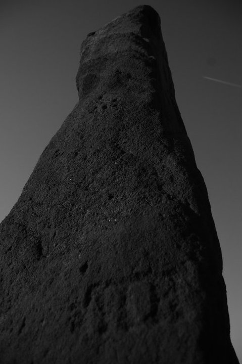
Images
(click to view fullsize)
Add an image
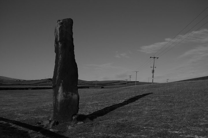
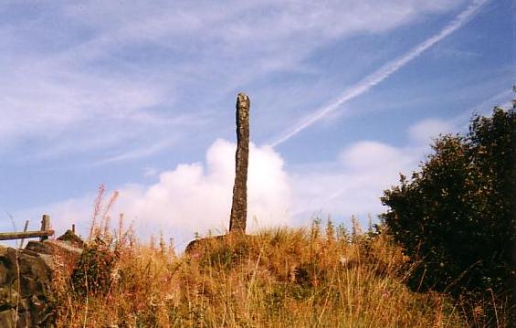
 Image © Layla Bert Smith
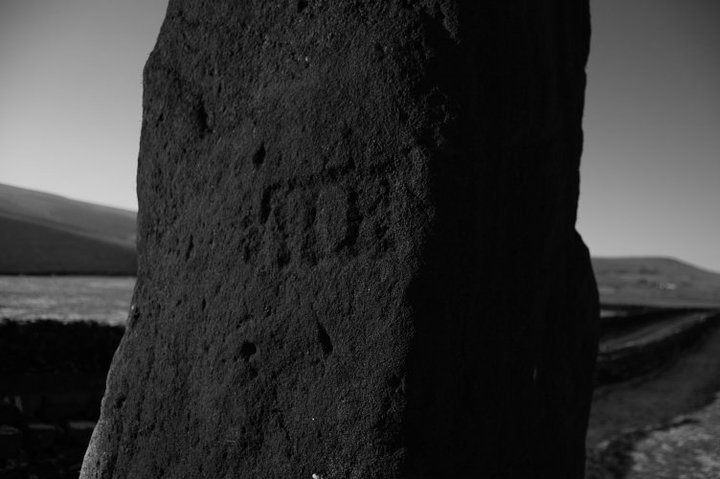