|
|

|
|
Haresfield CampHillfort
|
||||||||||||||||||||||||
|
|
|
Images (click to view fullsize) |
|


|
Fieldnotes |
|
|
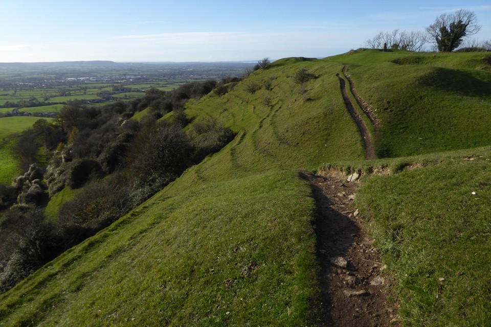
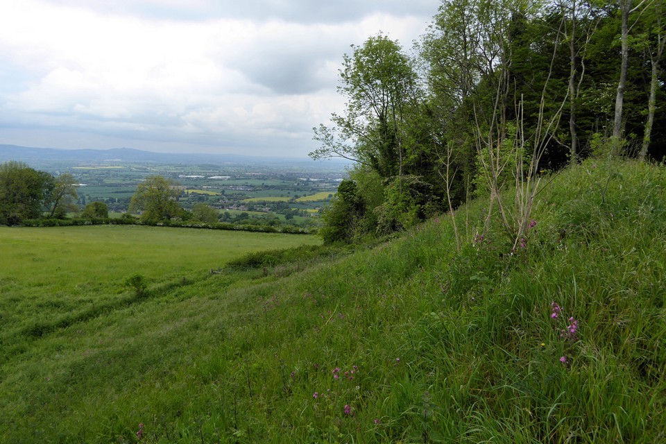
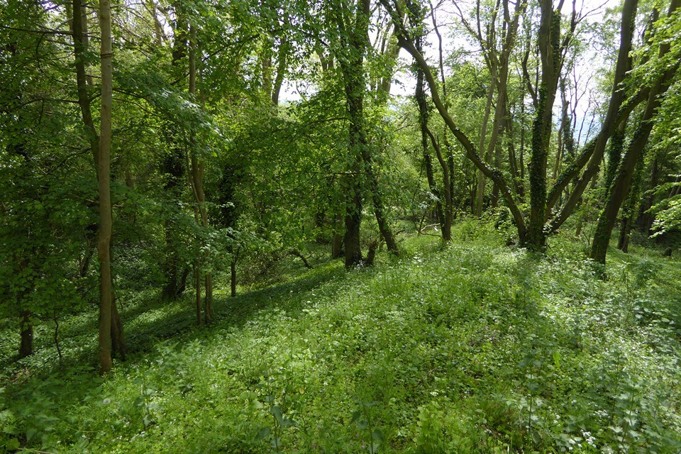
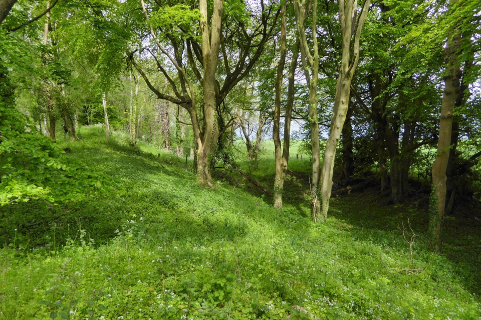
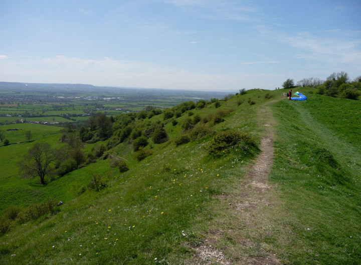
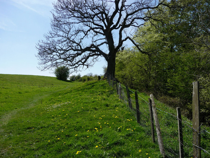
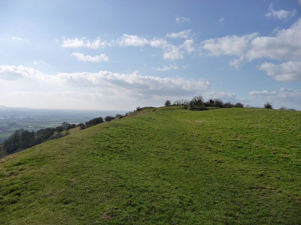
Walked here today after spending a couple of hours in Randwick Woods looking for the Randwick long barrow. It really was a case of coming out of the shade into the light. After being in woodland the afternoon dazzled; not much to add to thesweetcheat's excellent fieldnotes other than to comment on the spectacular views, especially looking towards the River Severn. I also noted that, as with the Wiltshire hillforts, this one appears to be chalkland - odd in the limestone landscape. |
 Posted by tjj
2nd September 2010ce Edited 3rd September 2010ce |
|
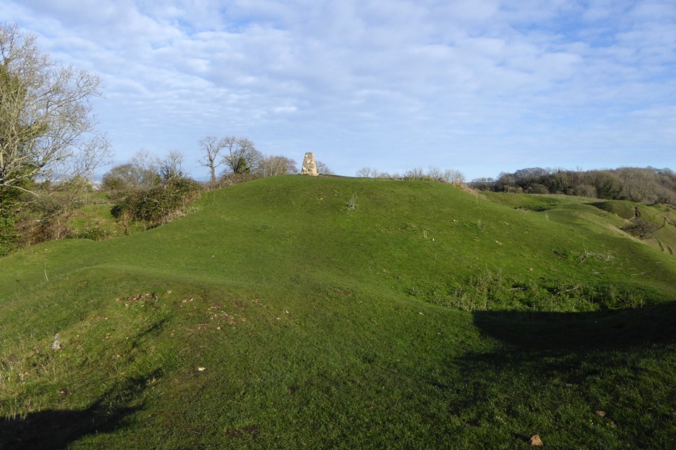
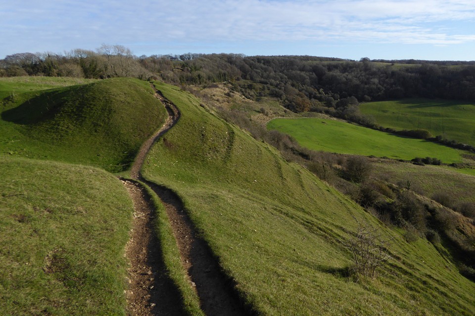
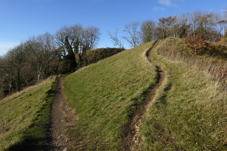
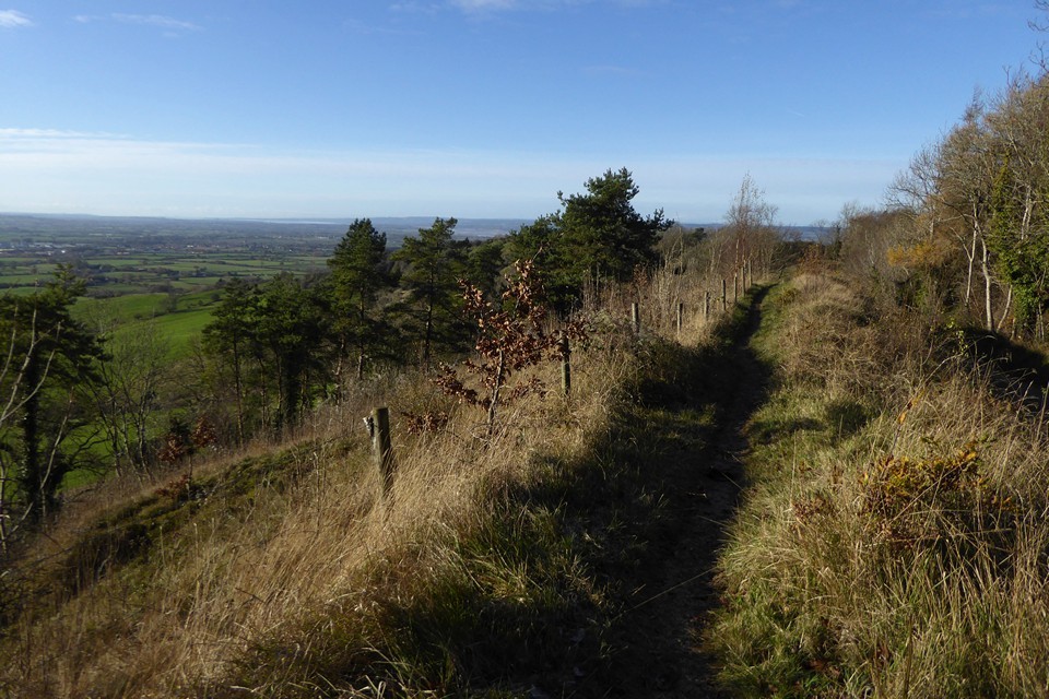
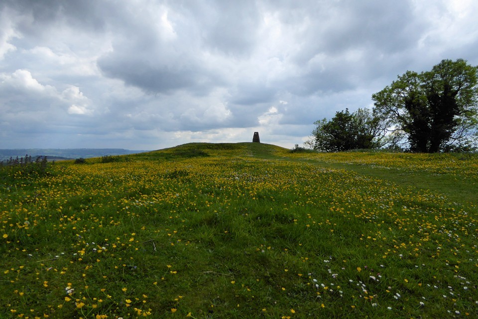
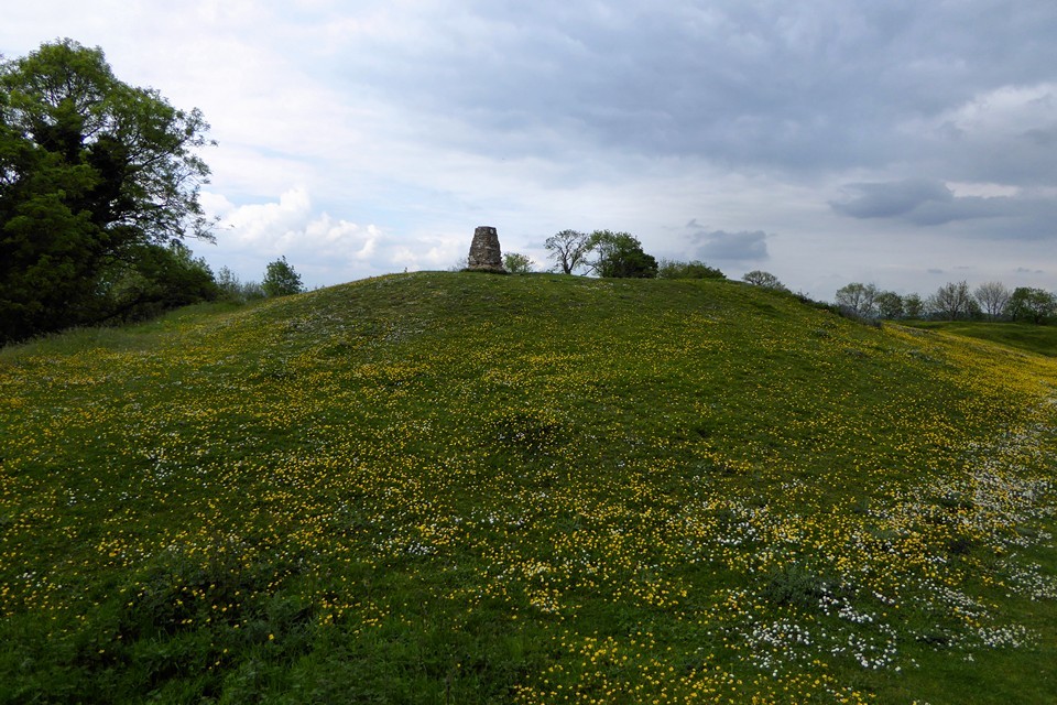
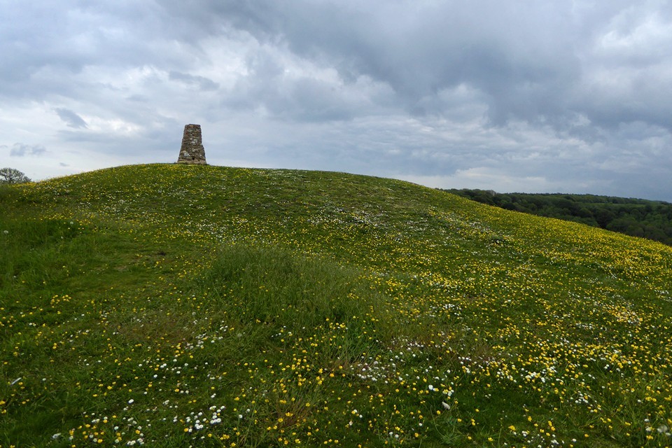
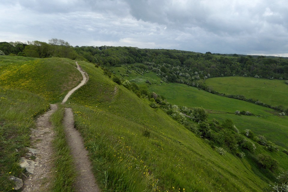
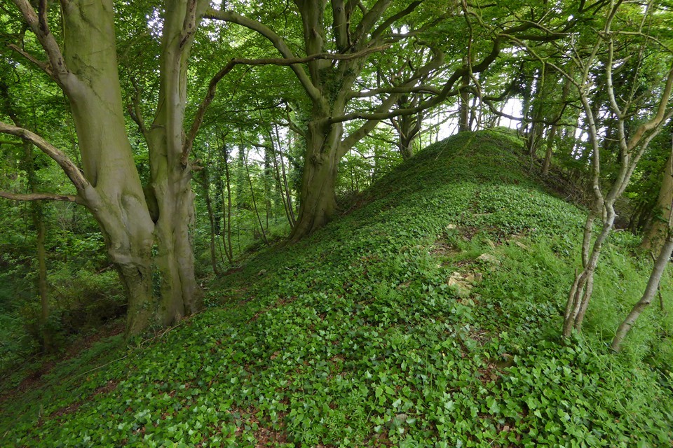
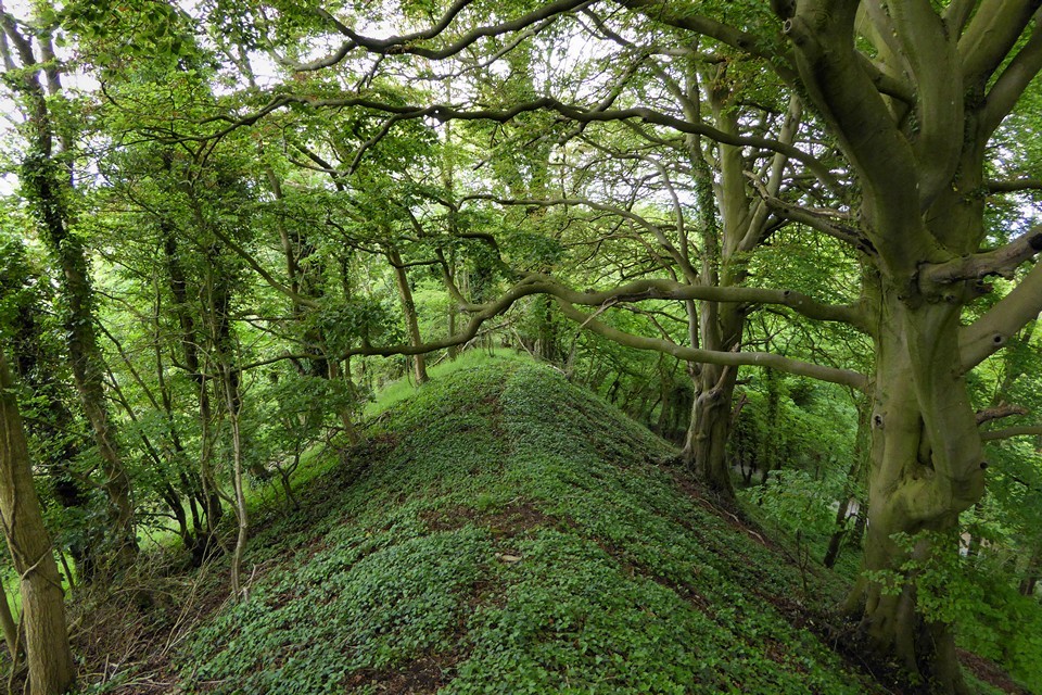
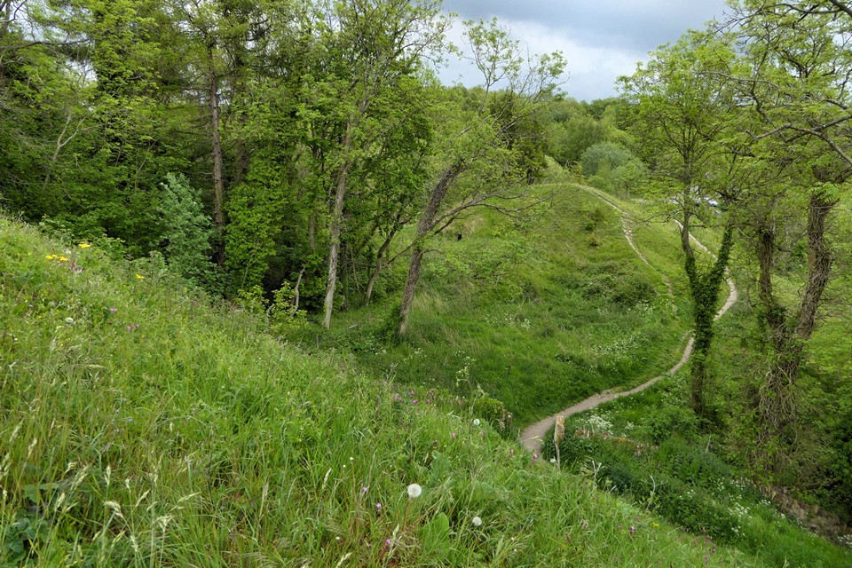
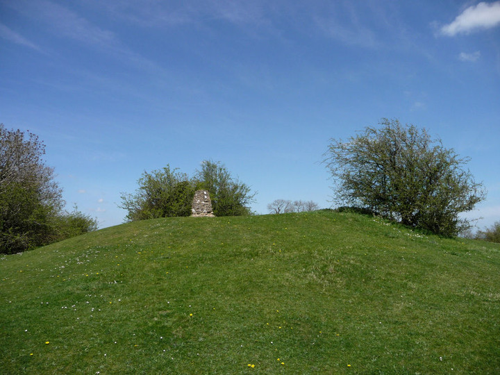
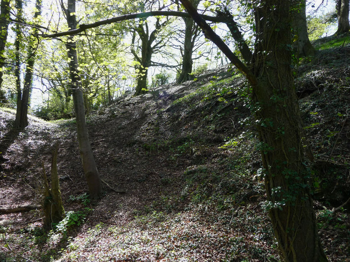
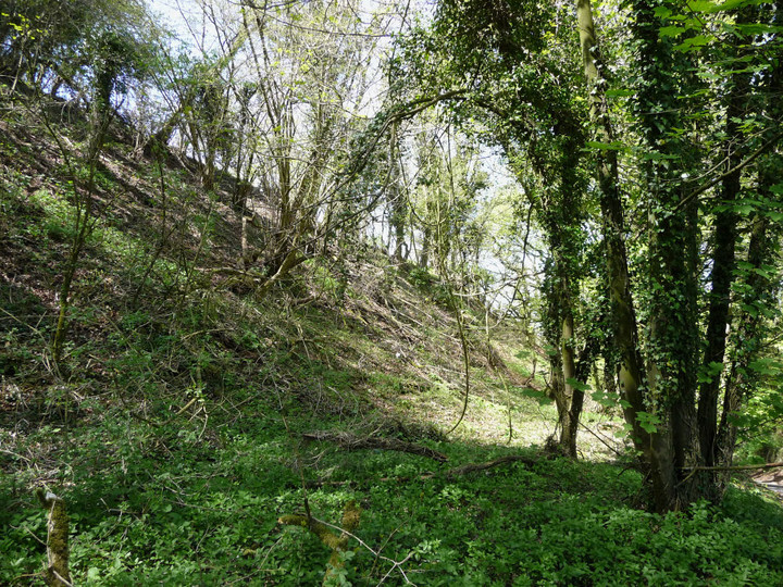
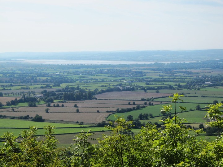
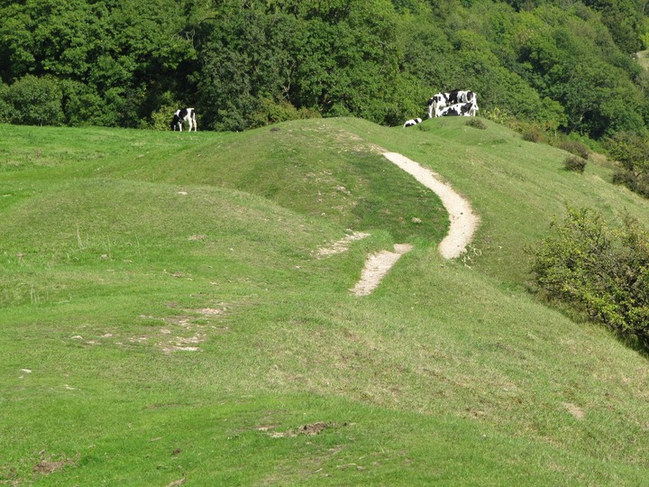
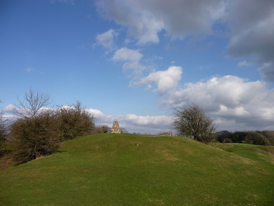
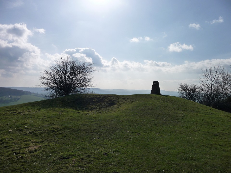
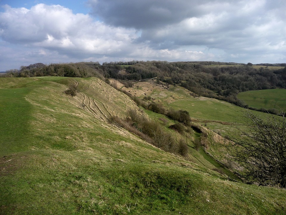
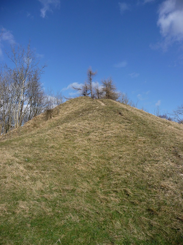
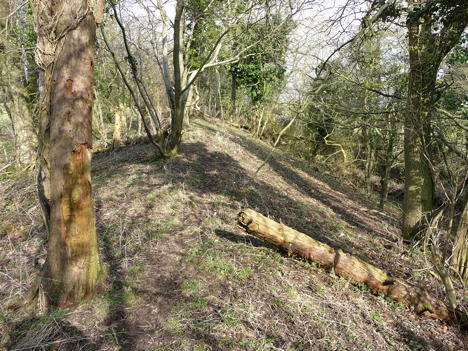
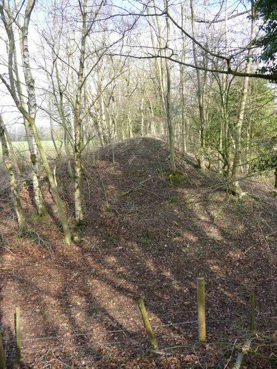
Visited on a lovely early spring day (1.3.2009). This is an interesting multi-phase site, strung out along a westward promontory of the Cotswold edge. Approached from the east, from Scottsquar Hill, Haresfield Camp itself is non-existent (I'm not even sure where it was). To the south of the road, the OS map shows two round barrows in a grassy field - of these only one is discernible, as a very low rise against the natural contour. Just past here is a parking area, used primarily as access to the Topograph at SO827083. The prehistoric interest starts further west along the road. The Bulwarks An unusual feature of the approach to the fort is that the land actually slopes down to it from the east. The first defensive feature, known as The Bulwarks, lies to the north of the road and comprises an impressive ditch and well-preserved rampart. There are two gaps along the length, which may be original entrance gaps. The northern end of the rampart meets the edge of the escarpment, giving natural defences along the northern side of the fort. Ring Hill Continuing west, you reach another, much bigger, defensive line. This comprises a double rampart of enormous, awesome scale, particularly when seen from the road running NW-SE along the eastern side of this feature. From the field enclosed within this there are good views of May Hill, The Malverns, Gloucester and Churchdown Hill. The Cotswold Way footpath runs along the naturally steep southern edge of this section of the fort, which tapers with the natural contour at the western end. A nicely proportioned round barrow (Haresfield Beacon), capped with an unusual stone-built OS trig point, marks the high point. It's always interesting to speculate on what the Iron Age occupants made of the remains of their Bronze Age predecessors. Today, sitting in the sun in the solitude of the fort, I couldn't imagine a nicer place to sit and speculate. |
 Posted by thesweetcheat
1st March 2009ce Edited 31st October 2022ce |
Folklore |
|
|
William Simmonds lived near Stroud and collected photographs and information about local rural life. An online exhibition is at the Museum of English Rural Life http://www.ruralhistory.org/online_exhibitions/simmonds/cat_photo.html "[He spoke to] George Hunt, a plasterer, from Far Oakridge (A pencil note adds, 'died 1937 aged 93') "W.G.S.:Do you know Haresfield Beacon Mr Hunt. Cromwell is said to have watched his armies from there. Mr H. : Oh yes and the story goes that he fired at the cathedral tower from there, and they put sacks round it to protect it. That's how the story goes but I aint never been up there. " British History Online has the information that the earthworks at Haresfield Beacon were once known as Evesbury / Ezimbury. http://www.british-history.ac.uk/report.asp?compid=15822 |
 Posted by Rhiannon
14th May 2005ce Edited 14th May 2005ce |