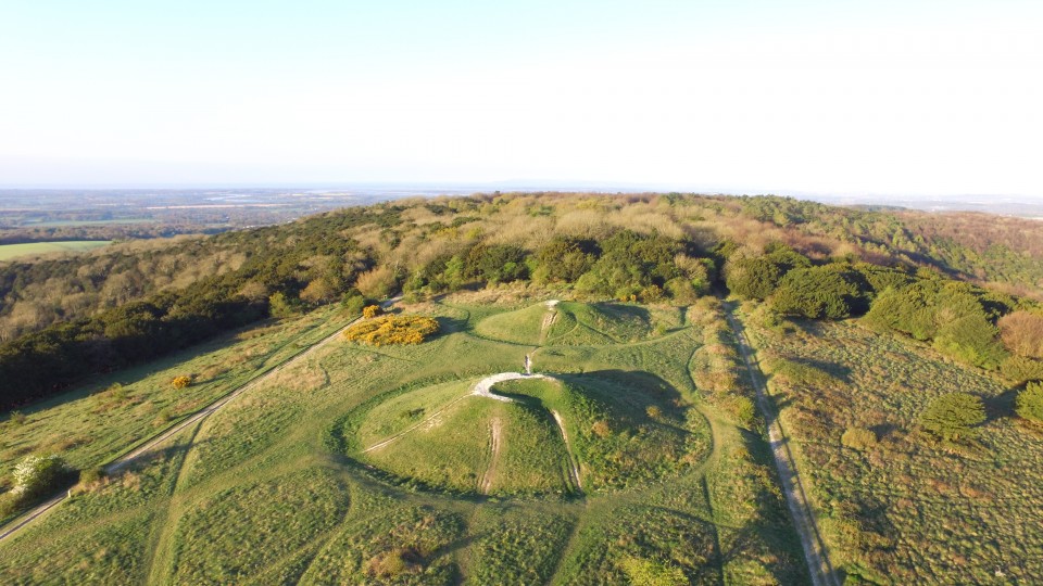
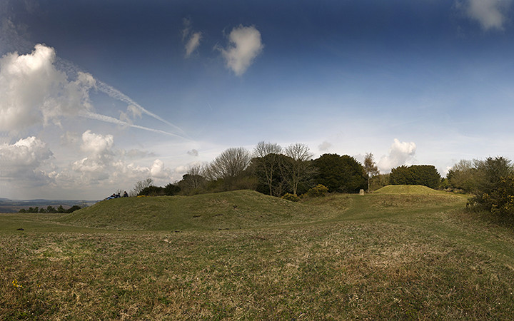
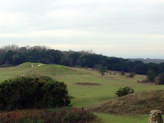
I find it a little surprising that nobody has written any fieldnotes for Kingley Vale before. These are probably the largest barrows in the whole of Sussex, the highest being about four metres high, bigger even than the probably more famous 'Devil's Jumps' directly due north from here. Not the easiest place to get to and few signs to aid your navigation it's well worth a visit whether you're into lumps and bumps, walking or just being plain spaced-out. The views are also something else as you look south towards the cities of Chichester, with it's landmark cathedral spire, and Portsmouth further west. You can also quite clearly see the Isle of Wight in the distance. To the north are superb views of the spine of the South Downs. There's an absolute wealth of material to look at here within an area of about two square miles including the various ditches and banks around the four main barrows, two very moderate long barrows on Stoughton Down, an un-named rectangular enclosure slightly further north-east and about a mile further from there is the almost hidden and slightly inaccessible small Iron age hill fort of Goose Hill Camp. Nearest parking if you're coming from the south is near the village of West Stoke.
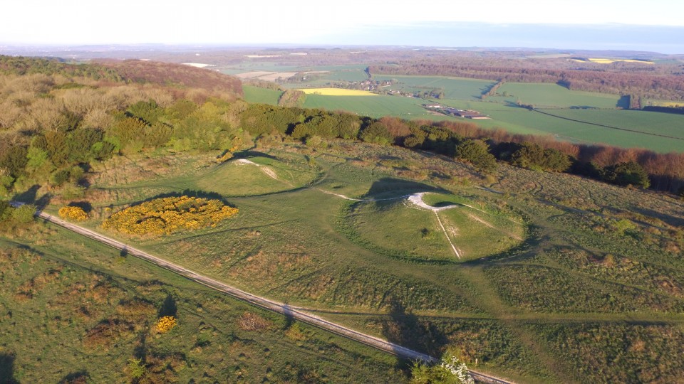
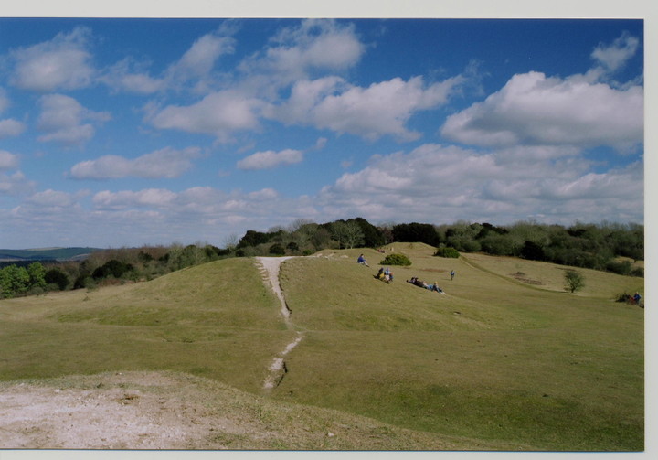
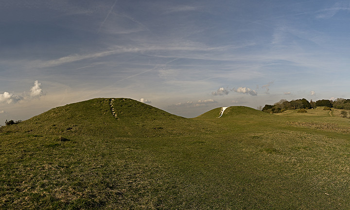
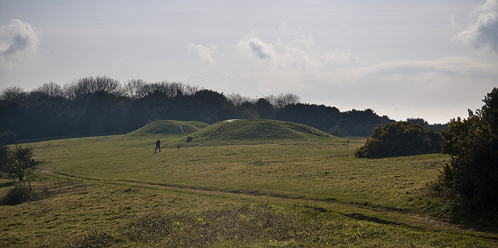
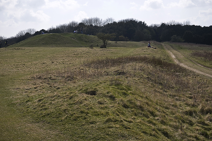
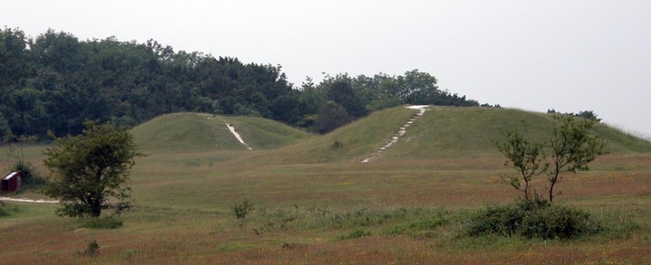
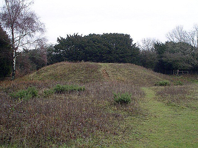
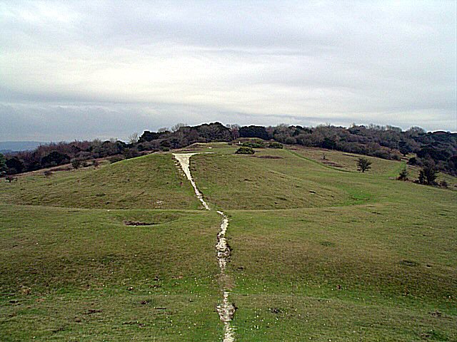
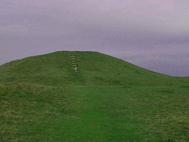
These two round barrows are known as the Devil's Humps or the Kings' Graves.
Along with two bell barrows and two pond barrows to the south west, they form part of a linear round barrow cemetery which is partly enclosed by (contemporary)earthworks around the three limbs of the Y-shaped hill.
Local legend has it that these Bronze age graves actually contain the Viking chieftains killed in a battle with the Saxons. The yews round about mark the graves of other warriors. Their ghosts are said to haunt the area.
Alternatively, if you prefer the Devil hypothesis, you can arrange to meet him by running around the barrows 'six or seven times'.
(info from MAGIC and J+C Bord's Atlas of Magical Britain).


 Posted by A R Cane
 Posted by Rhiannon