|
|

|
|
Sidbury HillHillfort
|
||||||||||||||||||||||||
|
|
|
Sites in this group:
|
9 posts
Dunch Hill Barrow Round Barrow(s) |
4 posts
Hot Cross Bun Round Barrow(s) |
3 posts
Old Coach Road Barrows Round Barrow(s) |
|
2 posts
Pickpit Hill Barrow Round Barrow(s) |
5 posts
Seven Barrows (Tidworth Camp) Round Barrow(s) |
5 posts
Southly Bridge Barrows Round Barrow(s) |
|
3 posts
3 sites Windmill Hill (Ludgershall) |
Images (click to view fullsize) |
|
|
Fieldnotes |
|
|
Obvious confusion with Silbury, (as Google keeps telling me) one wonders if the name comes from the same root? The trees planted in the 1960s are now being removed (since Sept 2002) and the area allowed to revert to the natural chalk downland. Access is difficult as it is on or near MOD land and there are tank tracks and occasional artillery firings over the area. I've flown over the site hundreds of times as the Parachute Centre I used to belong to (Netheravon) is next door. I loved hanging out the door of the plane trying to spot as many archaeological features as I could, things like the Cursus and the Avenue showed up well in dry summers. |
 Posted by jimit
6th July 2003ce |
Folklore |
|
The barrows in the group [on Snail Down] (there are at least thirty) are locally explained as the burial places of "the people killed in the battle of Sidbury Hill." The latter is crowned by an Iron Age hill fort which looms over the downs...Folklore from a Wiltshire Village Charles Thomas Folklore, Vol. 65, No. 3/4. (Dec., 1954), pp. 165-168. |
 Posted by Rhiannon
1st October 2006ce Edited 1st October 2006ce |
Miscellaneous |
|
|
Details of Hillfort on Pastscape A bivallate hillfort, with ceramic evidence for pre-hillfort occupation. Mesolithic and Neolithic flint implements also present. (Centred SU 216505) Sidbury Camp (NR) (1) Sidbury Camp, a bivallate Iron Age hillfort (see air-photograph (3)), enclosing 17 acres. (2) Iron Age A/B sherds (prob Phases 2-3) were found by O Meyrick (2) in 1948 (4), by the ramparts, and by Megaw during an excavation in 1957, on a section of the innermost bank (see plan). (3) Six Neolithic flints were found in clearing away the base of the chalk rubble core of the inner rampart, where tank tracks appeared to have cut into the original old land surface, below the rampart make-up. Finds went to Meyrick's private collection (2) and Devizes Museum (4). A double axe mound in the Pitt-Rivers Museum at Farnham is recorded as being found at Sidbury Camp. (5) A sub-triangular bivallate hillfort enclosing seven hectares, with the remains of an entrance in the NW side which is protected by a ditched outerwork. Four other cuts in the ramparts and mutilations to the outer rampart are the result of former military exercises with tracked vehicles and probably 19th century gravel digging along the west side. No relationship can be established between the fort and the ranch boundary type ditches which converge upon it because of perimetal destruction by tracks and afforestation. Resurveyed at 1:2500. (6) A possible Mesolithic flaked axe was found on Sidbury Hill in 1954. Devizes Museum Acc. No. 25.1969 (7) The hillfort is at the centre of a Late Bronze Age/Iron Age boundary complex, however the precise relationship is uncertain as their meeting point, if there was one, would have been destroyed by the construction of the ramparts. Excavations were carried out on selected linear earthworks as part of the Wessex Linear Ditches. One such excavation took place on SU 25 SW 172 (LDP 096) which was situated c. 200m from the hillfort. Here the Late Bronze Age boundary ditch had been recut to form a stepped profile characteristic of Early-Middle Iron Age ditches within this complex. This was in turn sealed by the hillfort ramparts. There is no structural evidence for a pre-hillfort settlement but Bradley interprets this possibility by the presence of one sherd of Late Bronze Age Plain Ware and eleven sherds of haematite-coated pottery belonging to the All Cannings Cross tradition. These were recovered from the excavation of one of the boundary ditches near the ramparts (SU 25 SW 166 - LDP 100) and must have originated from an existing settlement on Sidbury. (8) -------------------------------------------------------------------------------- SOURCE TEXT -------------------------------------------------------------------------------- ( 1) Ordnance Survey Map (Scale / Date) OS 6" 1926 ( 2) General reference VCH Wilts 1 pt 1 1957 92 & 26B ( 3) General reference APs (Crawford colln 1499 undated J K St Joseph CS 022 undt ( 4) General reference WAM 62 1967 115-7 plan illust (J V S Megaw) ( 5a) General reference The Barrow Diggers 1839 (Anon) ( 5) General reference WAM 53 1949-50 258 (A D Passmore) ( 6) Field Investigators Comments F1 MJF 20-APR-72 ( 7) General reference Wilts. Archaeol. Natur. Hist. Mag. 65, 1970, 215 ( 8) General reference English Heritage Archaeol. Rept. 2 1994: Prehistoric Land Subdivisions on Salisbury Plain 134ff (R. Bradley, R. Entwistle, F. Raymond) |
 Posted by Chance
9th August 2012ce |
|
An Iron Age Fort on a prominent hill in this area of the Plain. Bronze Age earthworks fan out from the site and thickly cover the surrounding area with implications that this whole place was important at least 2,500 BCE. "Henge" noted to the NNE, anything known? |
Posted by jimit 6th July 2003ce |
Latest posts for Sidbury Hill |
Showing 1-10 of 48 posts. Most recent first | Next 10 
Ludgershall 2 (Round Barrow(s)) — Fieldnotes |
|
I found this barrow powerful. Although it has been very badly damaged by the MOD track which cuts across it, the site had a welcoming feeling, female and homely. I got a feeling of a community gathering, meeting up here for ritual celebration. Maybe the celebration or ritual occurred in the middle of the hill, between the two barrows. As in the other barrow, the Iron-Age Earthwork cuts into the barrow with no reverence to the ancestral territory claimed by the barrows position. |
Posted by Chance 25th September 2012ce |
Ludgershall 1 (Round Barrow(s)) — Fieldnotes |
| This barrow, although the larger of the two barrows, didn't seem to have the energy of the smaller one. The rutted track made by the MOD traffic runs between the barrow and the Iron-Age Earthwork. This track has cut into the edge of the barrow but apart from this, the barrow is well defined. Records indicate that "a recent hollow in the centre of the mound" is noted in 1926, although no record exists of the contents. The "army triangulation point, concreted into the top" noted in 1972 has also been removed. |
Posted by Chance 25th September 2012ce |
Windmill Hill (Ludgershall) — Fieldnotes |
|
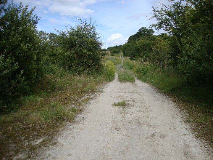
For parking, see Fieldnotes for Southly Bridge Barrows I walked up the bridleway with my bike after visiting the Southly Bridge Barrows. I got the area where the earthworks have been cut in two and left the bike in a wooded area at the bottom of the hill. Although a footpath runs along the base of the hill, I climbed up the rutted track made by the MOD along the spine of the hill. This track has really damaged the barrows and looks like it was made by tanks or heavy duty trucks. In the Bronze-Age mindset, the hill would had made a natural sacred place when viewed from Sodbury Hill. Two natural hillocks, one at either end of the level hilltop, have both been crafted into burial mounds for the elite. One for a king and the other for a queen maybe? or perhaps a father and son. The Barrow built upon Pickpit Hill would have made up the sacred three hills found throughout the ancient landscape. The Iron-Age Earthwork raises some questions with relation to these barrows. The Earthwork does not encompass the barrows, but is built right up to them. If the earthwork was defensive and formed a palisade of stakes, they did not claim the ancestors. Were the builders of the defensives taking over from the original Bronze-Age descendants? The area may had become part of the Royal park at Ludgershall in the reign of Henry III. Leland records that it surrounded Ludgershall Castle (SU 25 SE 3); in 1583 it was two miles in circuit. |
Posted by Chance 25th September 2012ce |
Southly Bridge Barrows (Round Barrow(s)) — Fieldnotes |
|
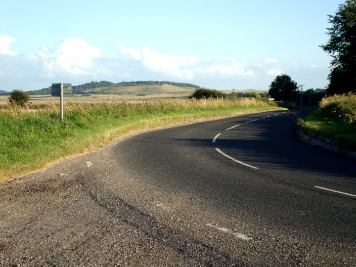
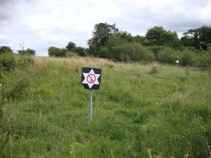
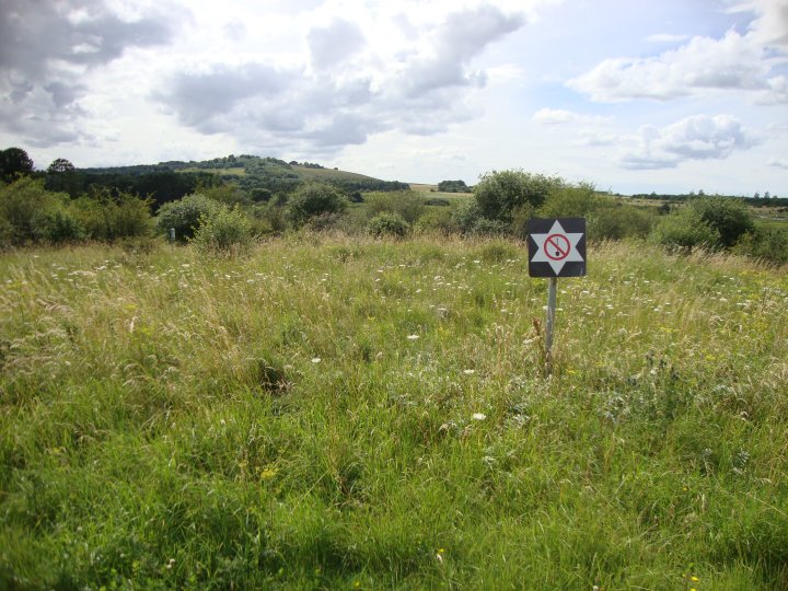
Visited late July 2012 This group of barrows are not much to look at now but would had been positioned next to a downland paradise when first constructed in the Bronze age. Below the barrows runs the River Bourne and this section contains many natural fissures where underground water rises to the surface. It would have been a place of great enchantment to ancient man, as well as being a hunting, fishing and food gathering supermarket. Today's extraction pumping has destroyed the natural habitat, along with a lot of the aquatic wildlife. Park by the war memorial on the A338 lay-by, and cross the road using the byway (SU 23287 50957). The bridge over the river is very overgrown and looks little used. Once across, follow the bridleway on your right and the barrows are in a clump of scrubland. One barrow has been cut into by the Sunny Hill track but the other is reasonably intact and has been staked off by the MOD with "No Trenching" signs erected. The area around Leckford Bottom would have been particularly marshy and an obstacle to any force approaching the area using the Sunny Hill track. This would explain why the Iron-age defensive earthworks were constructed to the East of these barrows, along the ridge of Windmill Hill by King Ina. With most of the barrows or earthworks on this part of Salisbury Plain, a visit in the winter when the vegetation has died back, giving a clearer shape to the sites' features, is always going to better. |
Posted by Chance 25th September 2012ce |
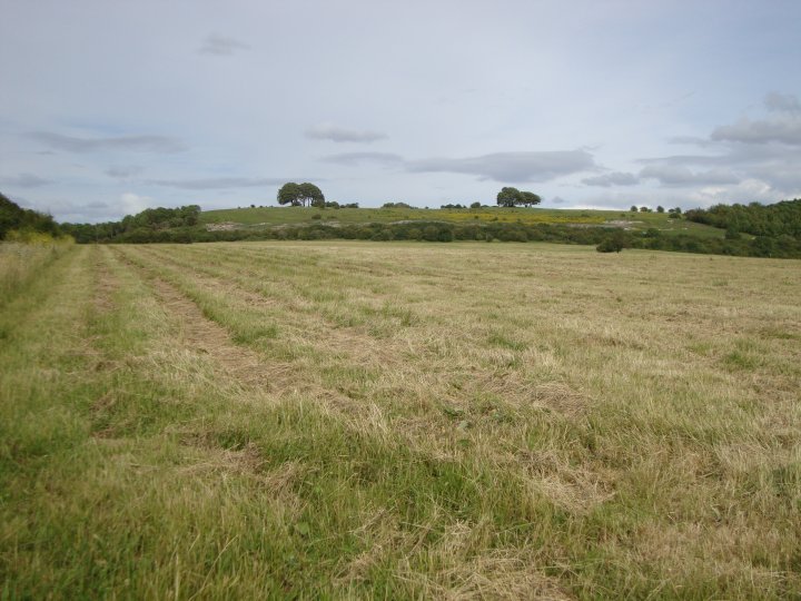
Southly Bridge Barrows (Round Barrow(s)) — Images (click to view fullsize) |
|
Posted by Chance 25th September 2012ce |
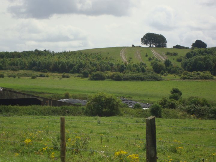
Pickpit Hill Barrow (Round Barrow(s)) — Images |
|
Posted by Chance 25th September 2012ce |
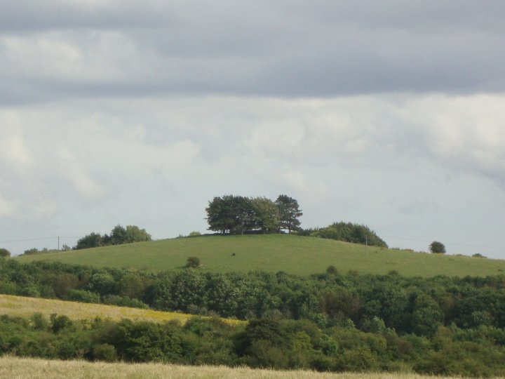
Windmill Hill (Ludgershall) — Images |
|
Posted by Chance 25th September 2012ce |
Showing 1-10 of 48 posts. Most recent first | Next 10