|
|

|
|
Stokeleigh CampHillfort
|
|
|
|
News |
|
Employee Volunteering - Hill-Fort Conservation, Leigh Woods, Near BristolAnyone fancy 'persuading' your work mates to do something for an ancient site? I found the following opportunity as part of the National Trust Employee volunteering programme at http://www.nationaltrust.org... continues... |
 Posted by pure joy
21st January 2004ce Edited 21st January 2004ce |
Images (click to view fullsize) |
|
Photographs: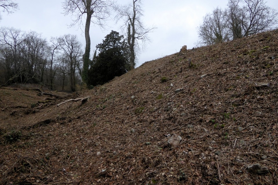

 Maps / Plans / Diagrams:
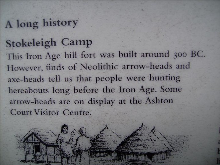
|
Fieldnotes |
|
|
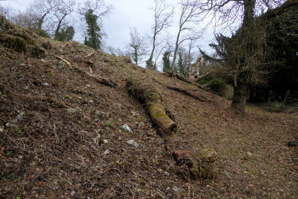
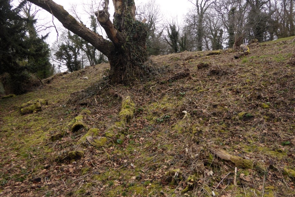
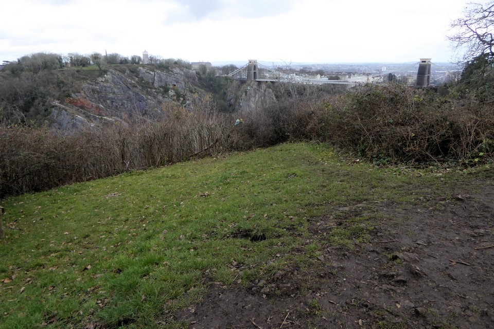
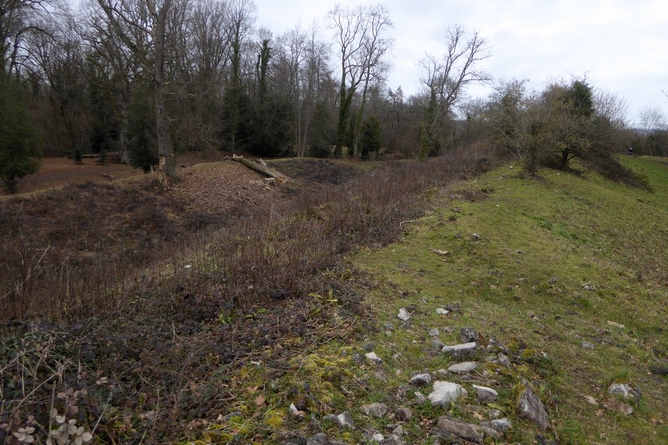
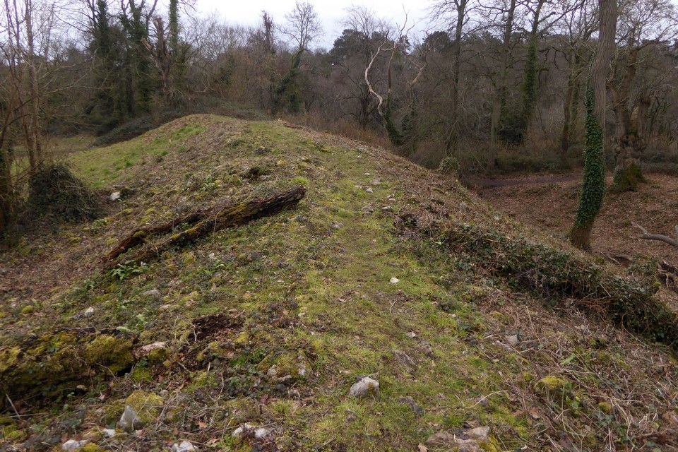
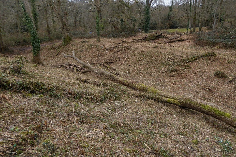
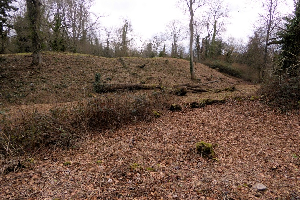
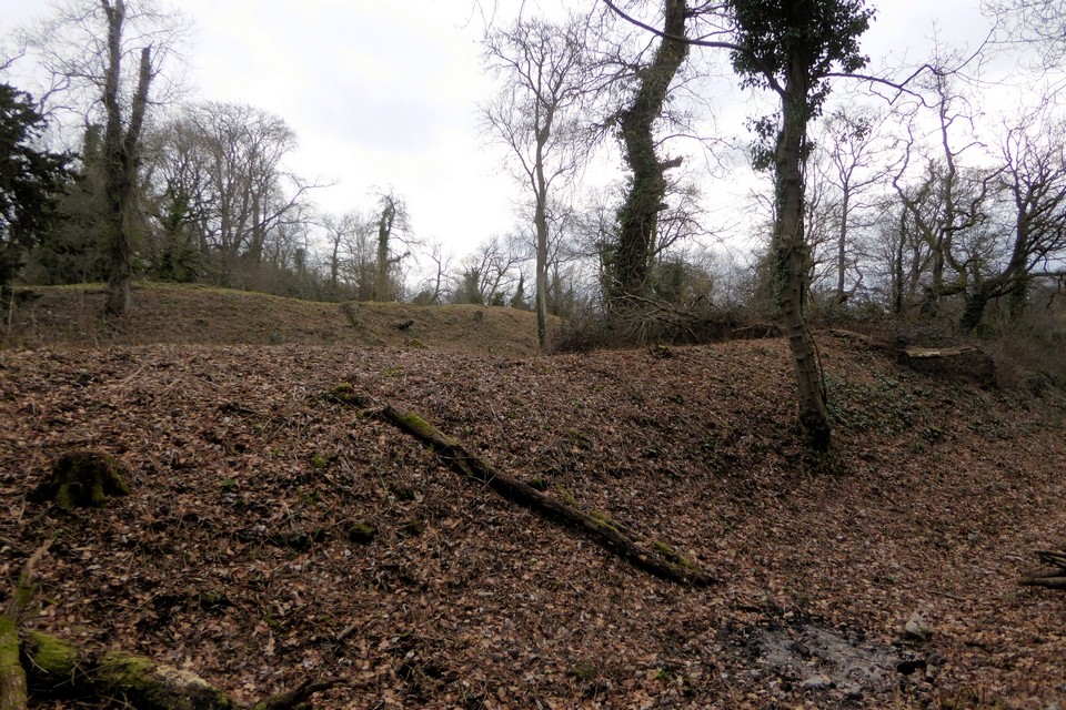
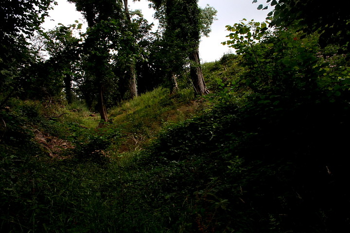
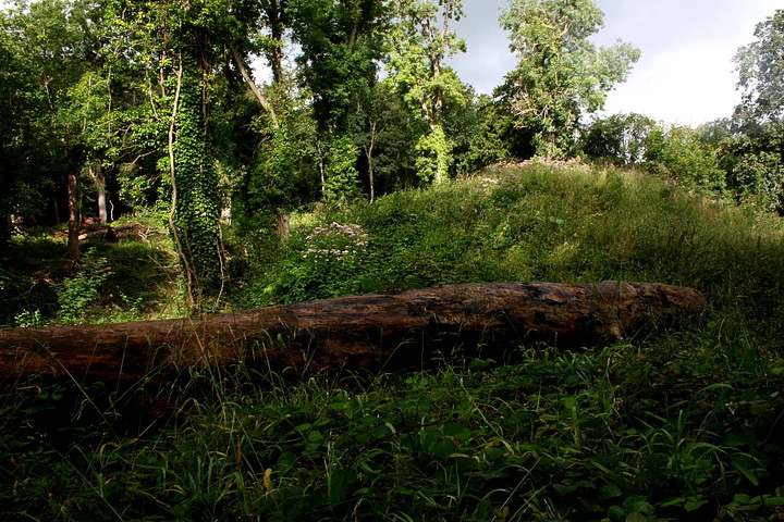
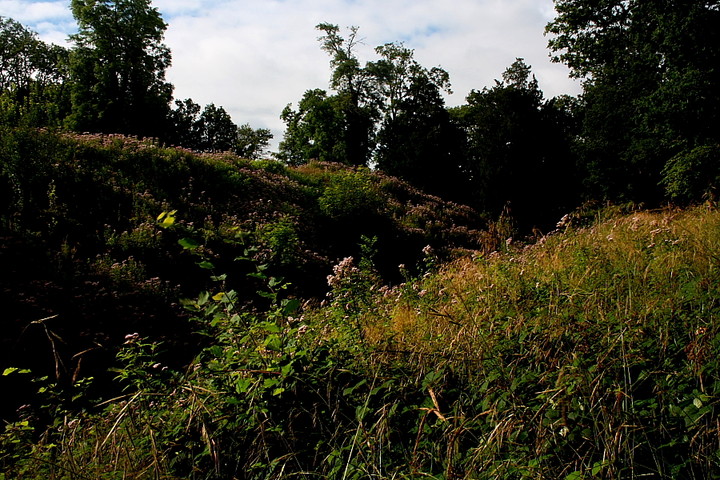
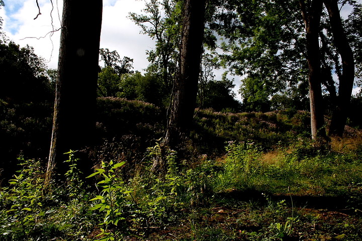
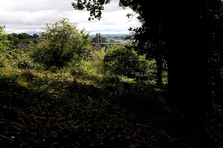
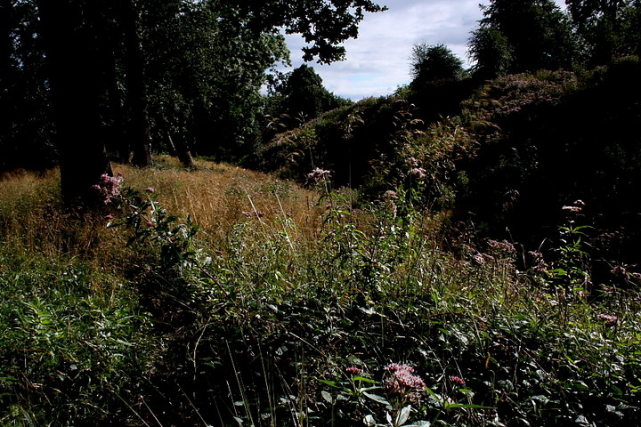
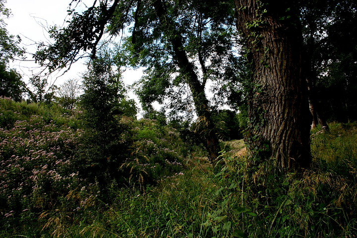
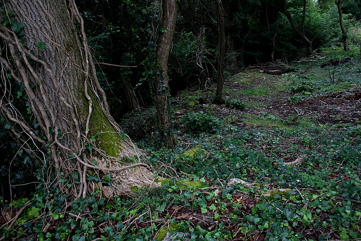
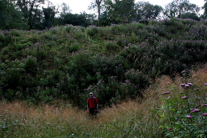
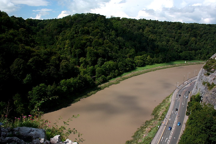
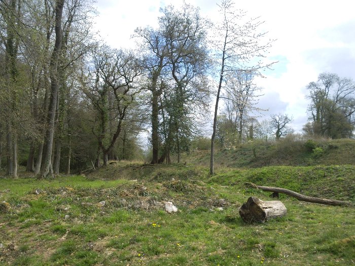
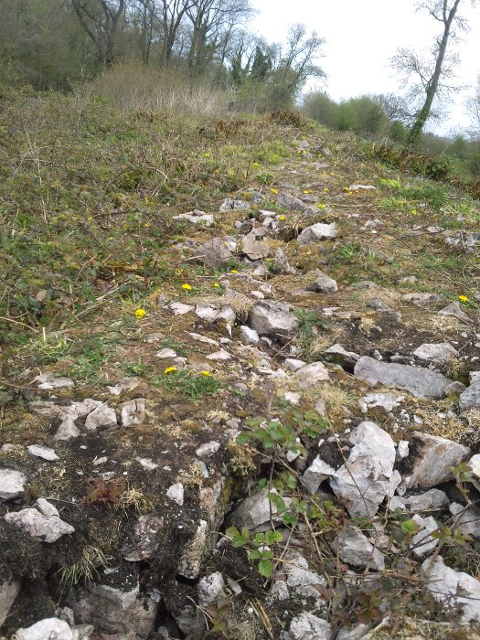
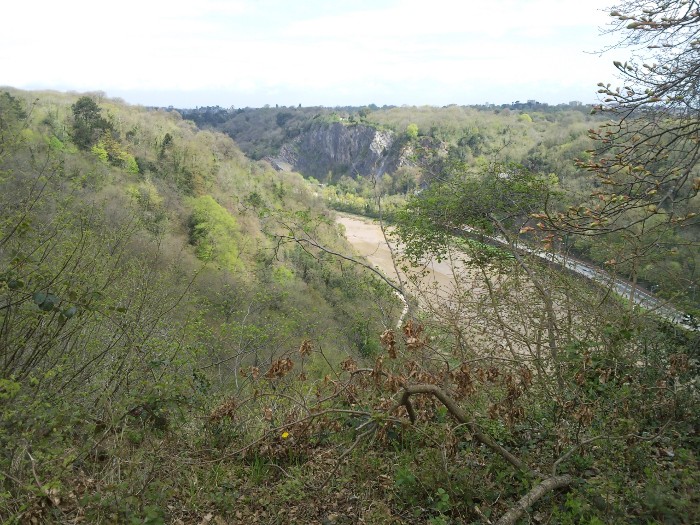
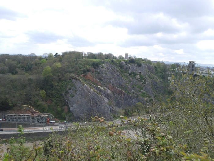
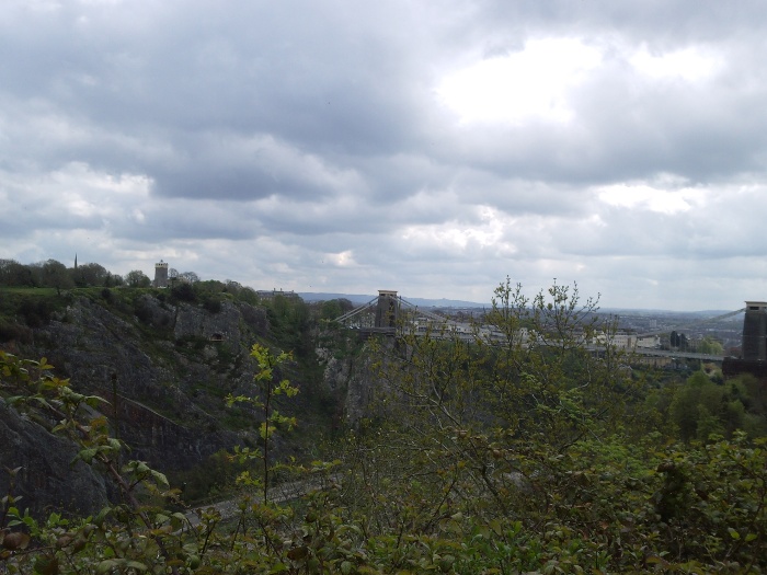
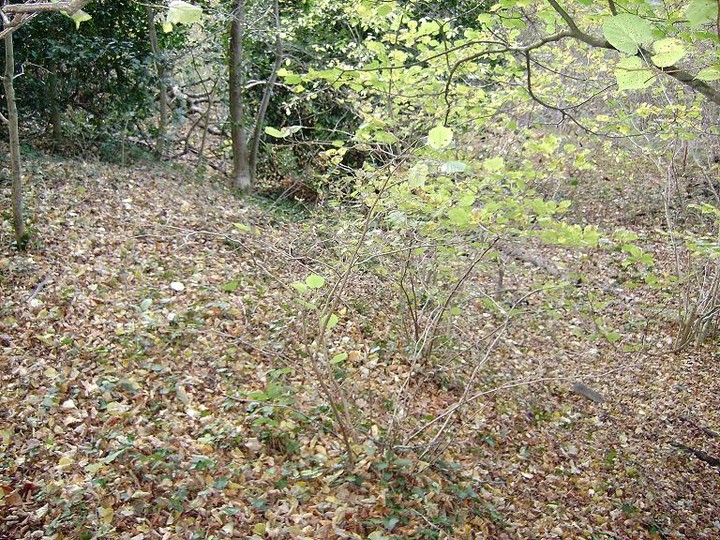
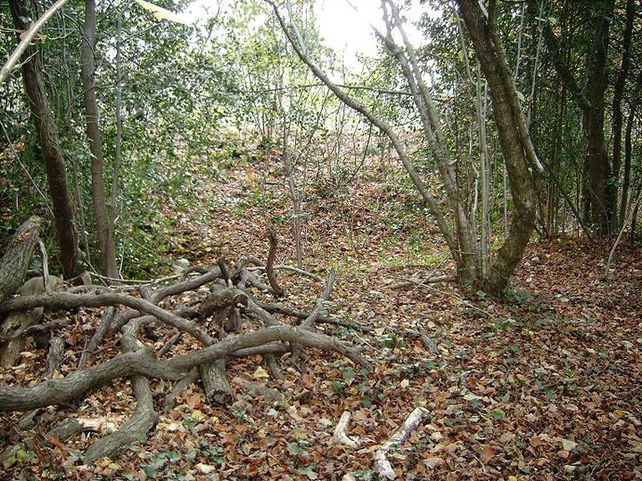
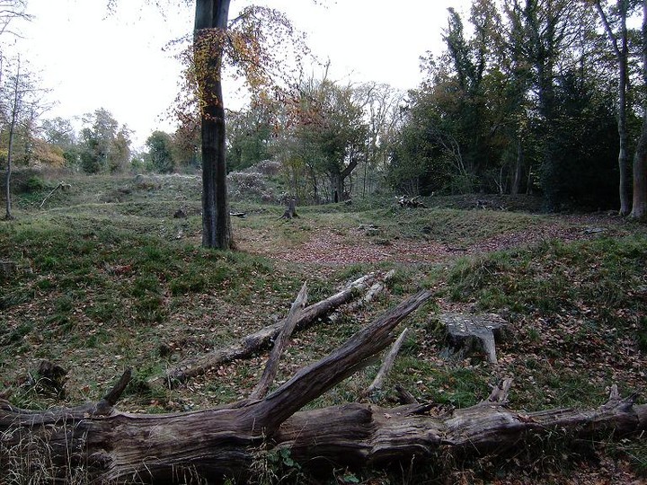
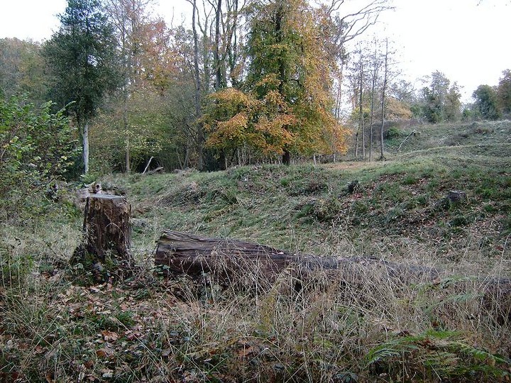
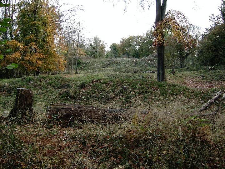
[visited 25/04/10] This is a peach of a fort. Very well preserved banks, with lovely views, in the middle of a walk in a wood and no massive hill to climb. The latter of which meant my belly didn't thank me but I cared not. Massive bivallate defenses stand out through the trees as you approach from the south-west. We traced the elongated horseshoe but mostly strolled near the cliff edge after going up and over the inner rampart which must be 3 metres high and maybe 6 from the lowest point of the ditch between the banks. Inside it's grassy with several trees to stroll between. The thing that stands out for me is just how close Clifton Down Camp is on the other side of the ravine. I had wondered whilst stood at Clifton Down Camp, not knowing where Stokeleigh was, whether they could have easily communicated. Standing at Stokeleigh you can see they could have shouted and just about be understood. They could have definately fired lines across attached to arrows and passed stuff back and forwards. It seems hard to believe the two camps were not occupied by the same tribe, unless it was some kind of iron age Joint Security Area. Of course Burgh Walls is just across the ravine to the South East as well. Whilst on the subject of inter-visibility of hill forts in the Avon Valley, from here you can also see North Stoke, Freezing Hill and Stantonbury, whilst Maes Knoll is possibly visible through the trees (definately visible along with possibly Tunley from Clifton Camp). As an aside, is Clifton Suspension bridge the only suspension bridge in the world you can see at least 6 hill forts? Access is along well defined paths through a light forest. Its mostly flat and less than 1/2 a mile from where we parked (ST 555 730) |
 Posted by juamei
25th April 2010ce Edited 26th April 2010ce |
|
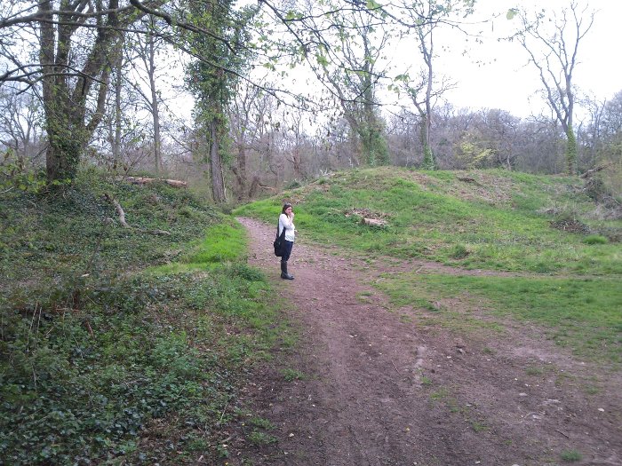
Sat 21st May 2005. Approached from "Pill cycle track" in the Avon Gorge, up through Leigh Woods/Nightingale Valley - hurt my back carrying bike. Probably easier to approach from the other side of the woods just off A369! Volunteers have done a great job clearing some of the bank and ditch of trees - you can get a good idea of the scale now, but most of the site remains wooded, giving the kind of "enchanted ruin" feel you don't often get. At one time, I guess, there would have been less trees around. It's very peaceful, with only the odd walker or squirrel to disturb you, and there are great views to be had. This is one of a string of iron age forts (circa 350 bce) in the Gorge, which says something for the strategic importance of the area - a kind of watery, celtic Khyber Pass. Neolithic and Bronze Age finds have been made in the area, and can be seen at the Ashton Court Visitor Centre and Bristol Museum (which is good and free to enter). |
Posted by Wiggy 25th May 2005ce |
Miscellaneous |
|
|
The "Kyber Pass".. Close to Clifton Suspension Bridge, 3 promontories have been fortified by earthworks, these three camps are within 800 yards of each other. Apparently all were identical in design, which could point to them being contemporary. Dated to 300bc to 100 ad, some use in medieval period. Stokeleigh Camp faces Borough Walls across a short valley. Two bank and ditches, with additional banks on the N.W, and also at the S.E. overlooking Nightingal Valley. Entrance close to S.W. corner, area enclosed about 6 acres. Taken from.... Guide To Prehistoric England - Nicholas Thomas Reverend Skinner had a theory that the Wansdyke might have been extended in this direction. |
 Posted by moss
9th November 2007ce Edited 9th November 2007ce |