|
|

|
|
Hinton HillHillfort
|
||||||||||||||||||||||||
|
|
|
Images (click to view fullsize) |
|

|
Fieldnotes |
|
|
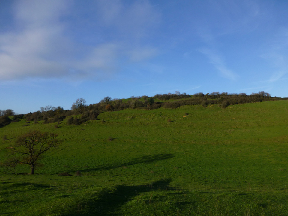
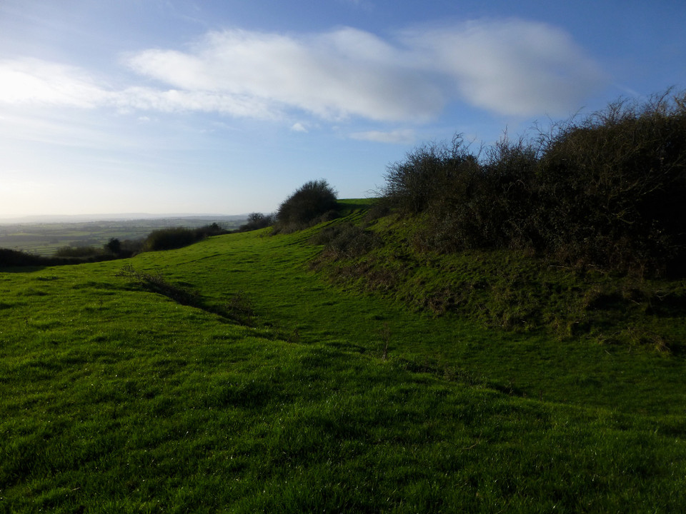
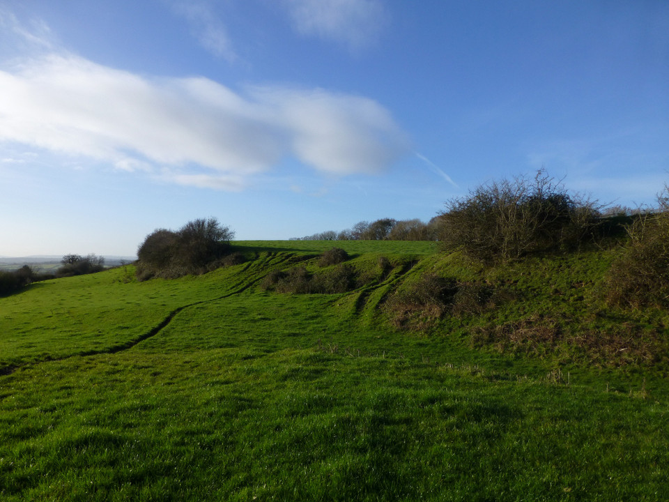
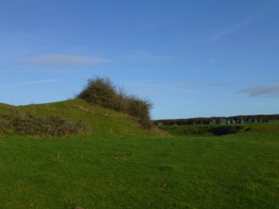
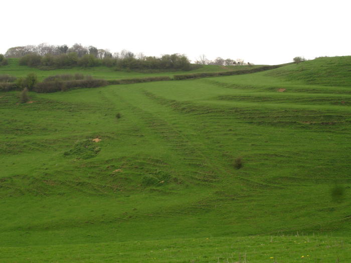
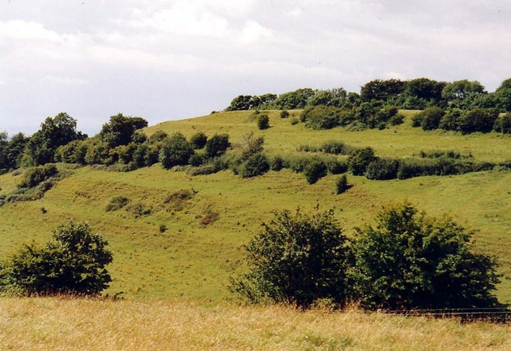
Visited 4.6.11 I had read previously that the best place to see the Hillfort was from Dryham Park (NT site) but I chose to have a closer look! In all honesty there wasn't much to see up close. All that was obvious was the curving ditch heading off into the woods. A hedgerow had grown following the contour of the ditch. The ditch was approximately 1 metre deep. There is room to park right outside the gate leading you to the field. Perhaps this is a Hillfort best viewed from afar after all? |
Posted by CARL 7th June 2011ce |
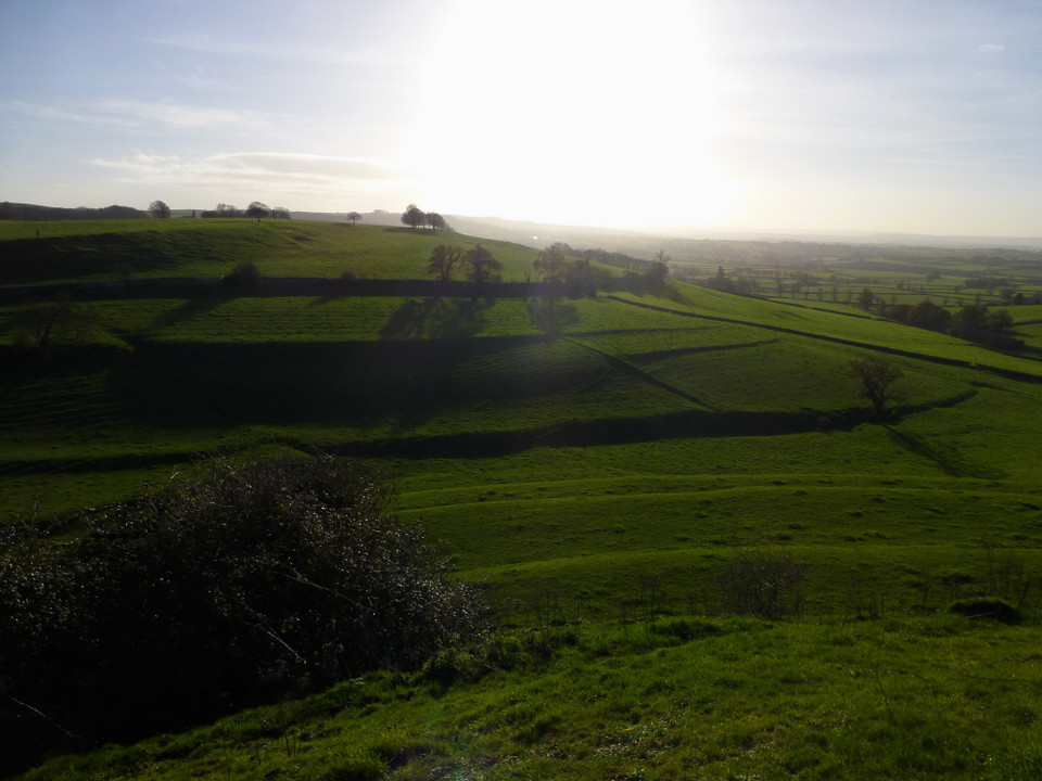
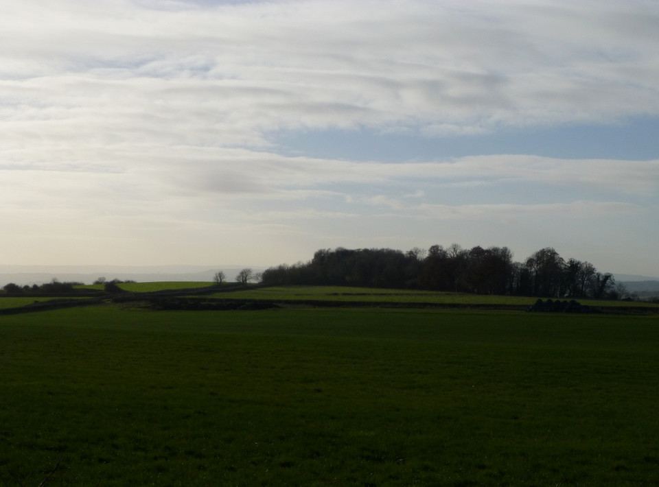
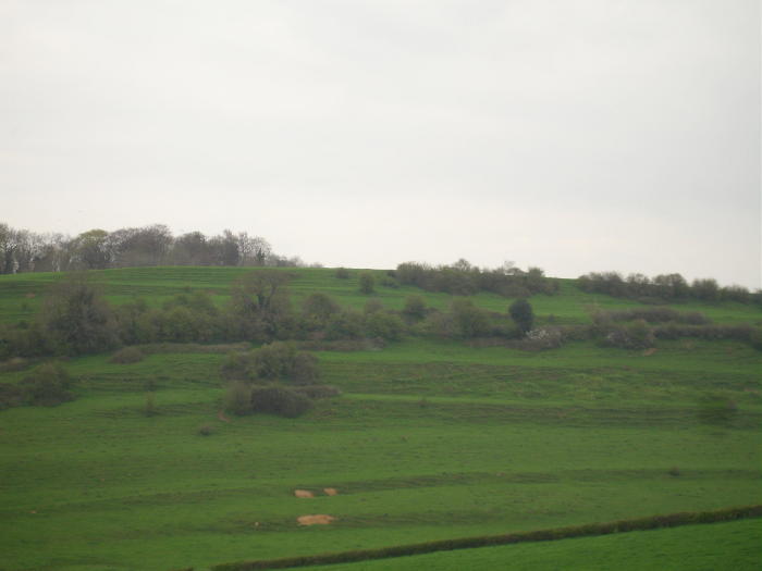
| The hillfort is situated on a spur and faces west overlooking the Bristol plain, focussing on the gap between two hills on which a clear day the welsh coast can be seen. Said to be one of the possible sites of the Battle of Deorham AD577, where three British kings were defeated and Cirencester, Bath and Gloucester were lost to the West Saxons. More factual, is that Hinton, like Old Sodbury fort and Horton Camp all lie near to the A46 road. Solsbury Hill also guards the pass which runs through the valley overlooking the A46. |
 Posted by moss
2nd May 2006ce Edited 25th February 2010ce |
| A small hillfort overlooking the Severn Valley with distant views of Bristol and South Wales. The fort is built high up on an outlying spur of the southern Cotswolds and is best seen from the high ground of Dyrham Park (NT) |
21st September 2003ce Edited 1st September 2004ce |
Folklore |
|
Derham, or Durham, is remarkable for certain huge Ramparts and Trenches, which shew, that it has antiently been the Scene of some Military Action; and here Ceaulin the Saxon, in a bloody Engagement, slew three British Princes, and by that Means dispossessed the Britons from that Part of the Country: 'Tis likewise noted for many fine Springs, which supply the Boyd.From The Natural History of England, volume 1, by Benjamin Martin (1759). |
 Posted by Rhiannon
21st November 2017ce |
Miscellaneous |
|
|
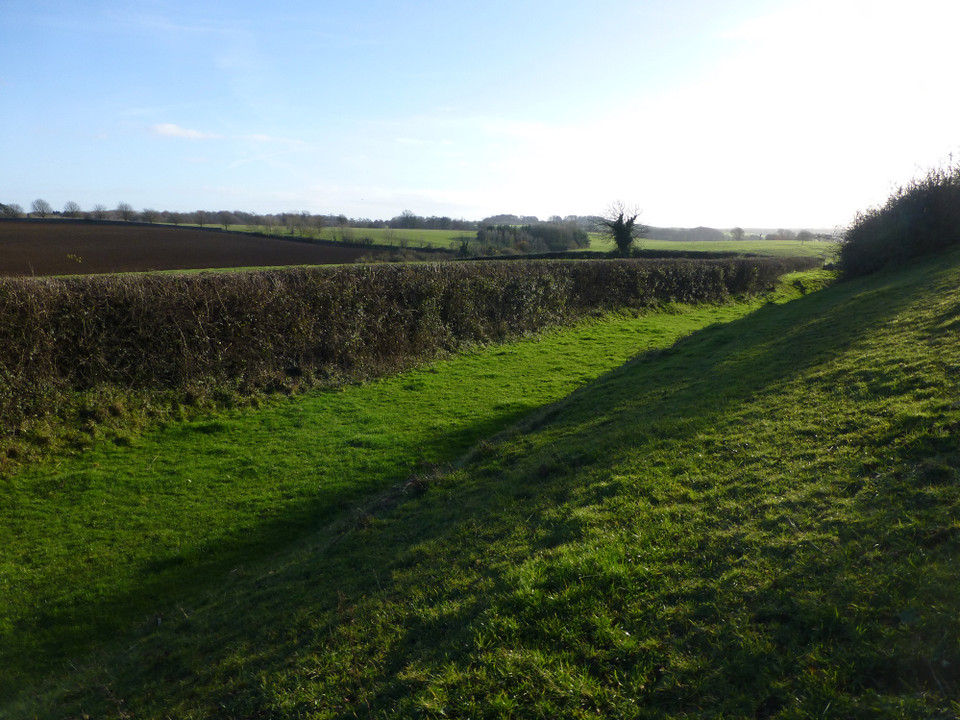
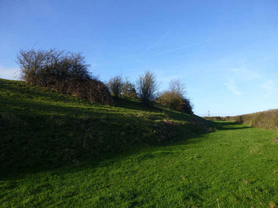
Details of site on Pastscape Univallate fort on Hinton Hill. Field investigations in 1969 found the east side to be defined by a rampart with an outer ditch, with an entrance in the centre of the east side. [Centred at: ST 7415 7672] CAMP [O.E.]. (1) Dyrham Camp - "This occupies a projecting point of Hinton Hill ... It was defended by a single mound and ditch running on a curved line, with each end resting on the escarpment, thus protecting an area of about 18 acres. On the south side, the slope of the hill has been arificially 'scarped' and on the east side a portion of the entrenchment is still very stong. A modern road runs through the camp ..." (2) "Dyrham Camp" - Scheduled. (3) Dyrham Camp is a promontory fort in asmuch that the end of the spur is isolated by the eastern rampart and outer ditch. The entrance was presumably at the point utilized by the present road. The southern side of the spur has been scarped but the steepness of this side requires little artificial defence and the scarping may be associated with the local field system. The northern side of the spur is a gentle slope which affords little natural defence, but there are numerous quarry diggings throughout this area and no trace of a rampart. Publised survey (25" 1919) revised. (4) Univallate fort, unexcavated. The east side is defined by a rampart with an outer ditch, with an entrance in the centre of the east side. The unploughed south half of the rampart, about 35ft. wide, rises 8 ft. above the interior and 13 ft. above the bottom of the ditch, which is 20 ft. wide. (Visited 17.2.69). (5) The fort is described as "Barhill Camp" on Isaac Taylor's map 1786, and as "Burrills Camp" in the Tithe Awards of 1841. (6) Additional reference - as above. Plan and profile (7) ST 741 767. Hill-fort on Hinton Hill, univallate, unexcavated. Noted as being described as "Burrell's Camp" in early references. [Additional details, plan and profile of rampart provided]. (8) |
 Posted by Chance
12th October 2012ce |