|
|

|
|
Kirchborchen IAllee-Couverte
|
||||||||||||||||||
|
|
|
Images (click to view fullsize) |
|
Photographs:
 Maps / Plans / Diagrams:
|
Fieldnotes |
|
|
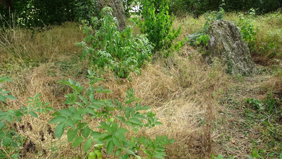
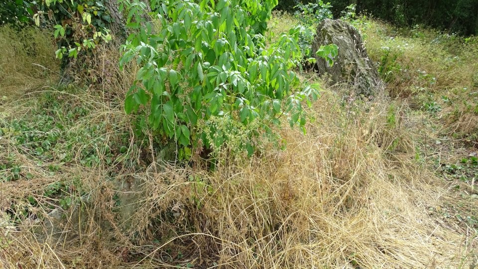
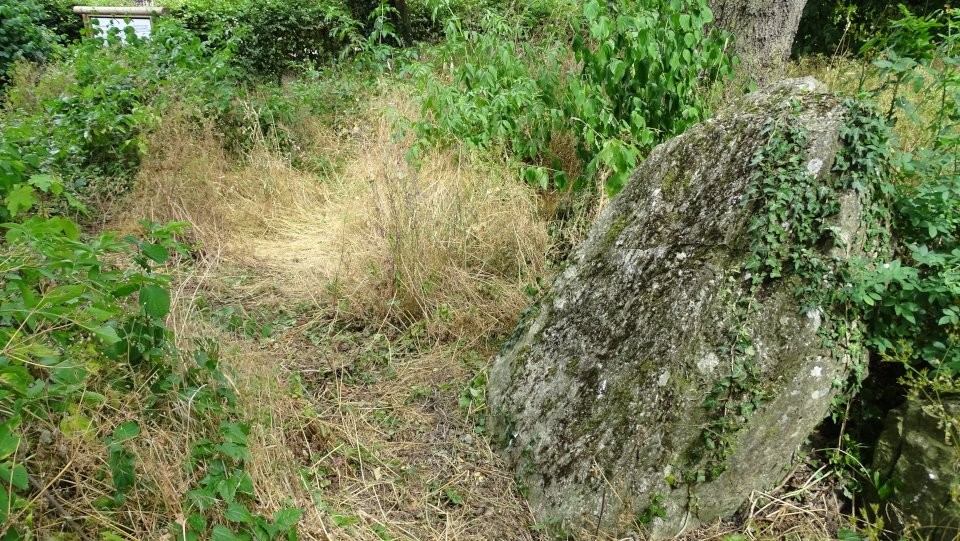
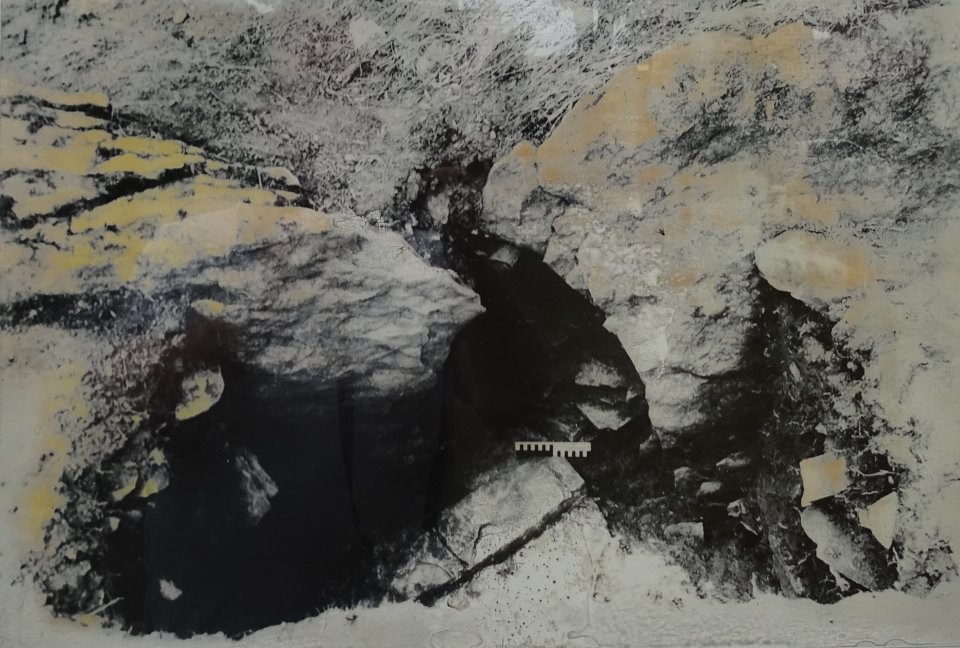
From the A33, take the Borchen exit south of Paderborn and drive towards Borchen. Now coming from the south, after about 400m you will reach a junction with the road An den Steinkisten. To get to the tomb Kirchborchen I, turn left here. The road makes a right bend and about 75 meters later, as soon as the first houses appear on the right-hand side, the tomb is located about 30m to the right. Kirchborchen II lies about 120m to the southeast. Unfortunately the tomb is heavily overgrown, only the last remaining capstone, which is collapsed into the tomb, is clearly visible. All other leftover stones, which are buried in the ground, can only be seen to some extent, which is a shame. So you have to rely on the information board and the drawings of the tomb to get an idea, how the tomb might have looked like. I read somewhere, that the chamber is orientated northeast-southwest and that it is about 21m long and 3m wide. Visited July 2018 |
25th August 2018ce Edited 25th August 2018ce |
|
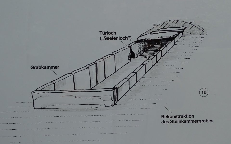
Text from the information board: Cultural monument Prehistoric Stone-chamber tomb Kirchborchen I This stone chamber tomb was built in the Neolithic period (about 2500-2000 BC) by the local rural population as a community grave. The burial chamber was originally topped with stone slabs and covered by a mound (image 1 a-b). The access to the chamber was on the southeastern long side of the chamber. It had the form of an oval, out of two stone slabs worked out port-hole [in German "Seelenloch"] (image 2). As excavations have shown, several generations of dead were buried in such chambers by a clan or settlement community with their grave goods - food, drinks, jewelry, weapons and tools. The impulses for the construction of the stone-chamber tombs of the "Hercynian type" came from southern and western Europe, especially the French Seine area, where there are numerous examples of the same type. |
25th August 2018ce Edited 25th August 2018ce |